 English (UK)
 English (US)
 Français
 Deutsch
 Español
 Italiano
 Nederlands
 简体中文
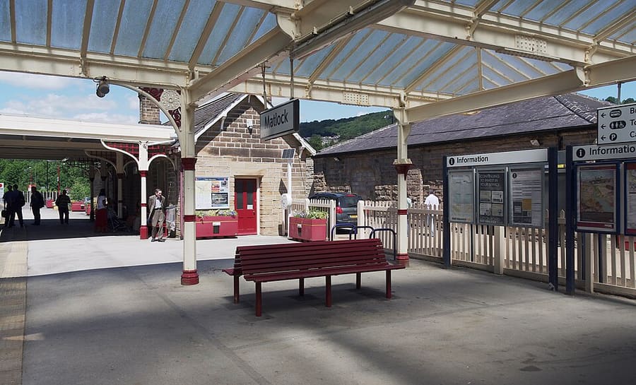
Un mini-guide de
Matlock Bath, Matlock & the Derwent Valley : comment s'y rendre
Arrêts, gares et accès à Matlock Bath, Matlock & the Derwent Valley
Arrêts et stations
Se rendre à Matlock Bath, Matlock & the Derwent Valley
Choisissez l'arrêt le plus proche de votre destination.
| Arrêt ou station | Services | Idéal pour |
|---|---|---|
| Derwent Valley Line | East Midlands Railway | Visit Peak District indique que la ligne relie Derby, Nottingham et Lincoln à Matlock et dessert Cromford et Belper ; Matlock Bath a sa propre gare |
| Stagecoach Gold X17 | Stagecoach | Circule de Sheffield et Chesterfield à Matlock Bath, Cromford et Wirksworth, selon Visit Peak District ; consultez Stagecoach pour les horaires |
| Trentbarton 6.1 | Trentbarton | La ligne 6.1 se poursuit toutes les heures de Belper à Wirksworth, Matlock Bath, Matlock et Bakewell, selon Visit Peak District |
| Peak Rail | Peak Rail | Trains à vapeur et diesel historiques de Matlock à Rowsley South via Darley Dale ; consultez son calendrier d'exploitation |
Within walking range
Stations near Matlock Bath, Matlock & the Derwent Valley
Stations and stops mapped in OpenStreetMap within 2.5 km of the centre of Matlock Bath, Matlock & the Derwent Valley, nearest first. Distances are straight lines; walking times assume 5 km/h and are a minimum.
| Station or stop | Type | Distance | À pied |
|---|---|---|---|
| Matlock Bath | Rail station (East Midlands Railway) | 400 m | about 4 min |
| Cromford | Rail station (East Midlands Railway) | 1.1 km | about 13 min |
| Matlock | Rail station (East Midlands Railway) | 2.0 km | about 24 min |
| Matlock Riverside | Heritage railway (Peak Rail) | 2.4 km | about 29 min |
Station data: © OpenStreetMap contributors (ODbL), read 25 October 2026. Check step-free access with the operator before you travel.
Walking from nearby areas
- Bakewell, Haddon & Monsal: 13.8 km from Matlock Bath, Matlock & the Derwent Valley, better by public transport
- Dovedale, Ashbourne & the White Peak South: 16.0 km from Matlock Bath, Matlock & the Derwent Valley, better by public transport
- Hathersage, Longshaw & Eyam: 21.8 km from Matlock Bath, Matlock & the Derwent Valley, better by public transport
- Castleton, Hope Valley & Edale: 29.1 km from Matlock Bath, Matlock & the Derwent Valley, better by public transport
Rejoindre le Peak District
Informations officielles sur les transports
Le Peak District s’étend entre Manchester et Sheffield au nord et Derby au sud. Visit Peak District recommande les transports en commun dès que possible, et plusieurs lignes de train et de bus desservent le parc. Les durées de trajet ci-dessous sont celles qu’indiquent ses pages et celles de Northern ; vérifiez toujours les horaires auprès des exploitants.
- Visit Peak District : comment venir → — Visit Peak District & Derbyshire, l’organisme de tourisme de la région
- Northern : the Peak District → — lignes de Hope Valley, Buxton et Glossop
- Peak District National Park Authority → — site officiel du parc ; il bloque les requêtes automatisées et n’a donc pas été consulté pour ce guide
- Travel Derbyshire → — horaires pour le Peak District, le Derbyshire et Derby
- National Rail → — horaires et billets de train
- Traveline → — calculateur d’itinéraire en bus et en autocar
Les horaires, les tarifs et les perturbations changent : consultez les pages des opérateurs ci-dessus pour des informations en direct.
Planifiez votre trajet ici
Indiquez votre point de départ et Google Maps affichera les itinéraires vers Matlock Bath, Matlock & the Derwent Valley. Les transports en commun sont sélectionnés ; vous pouvez changer de mode sur la carte. Consultez les sites des opérateurs pour connaître les perturbations en direct.
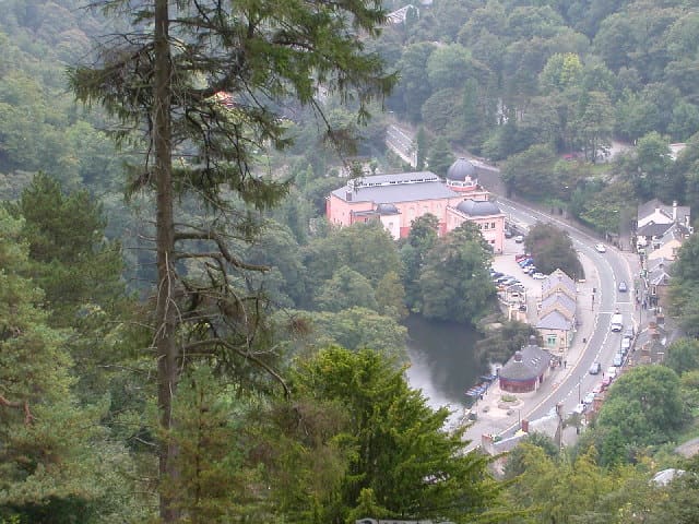
While you are here
Things to see in Matlock Bath, Matlock & the Derwent Valley
A few of the sights in the area. The Things to do page lists them all, with directions and official links.
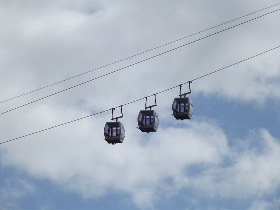
Heights of Abraham
Parc au sommet de Masson Hill, accessible par téléphérique, avec visites de grottes et de mines ; ouvert depuis l'époque victorienne.
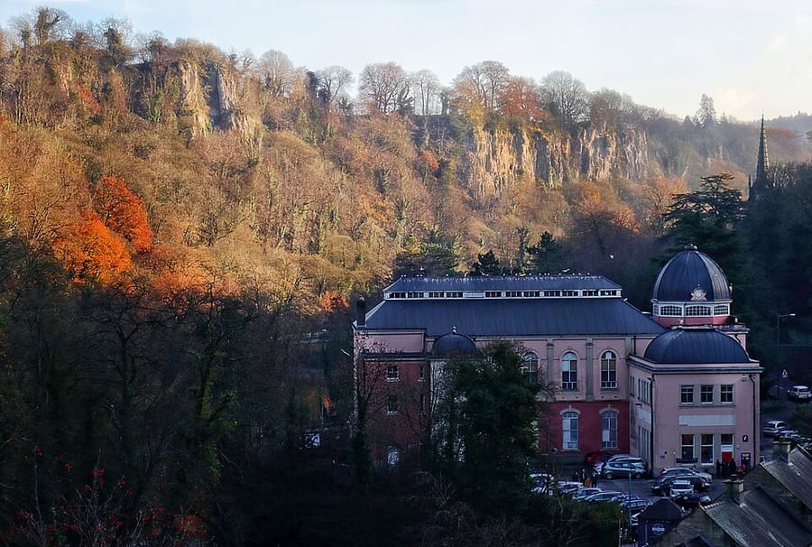
Peak District Mining Museum
Musée associatif dans le Grand Pavilion de Matlock Bath, avec des reconstitutions de mines de plomb que les enfants peuvent explorer.
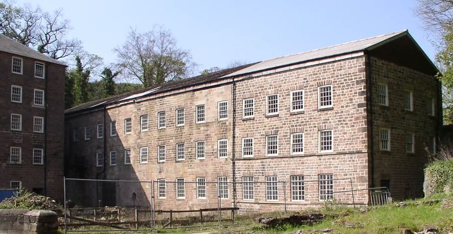
Cromford Mills
Filature de coton hydraulique de Richard Arkwright, datant de 1771, la première du genre, au cœur du site classé au patrimoine mondial.
Peak District
More areas to explore
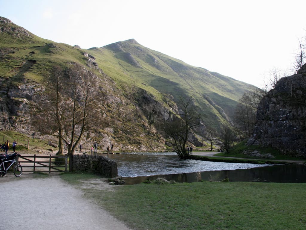
Dovedale, Ashbourne & the White Peak South
Les pierres de gué de la River Dove, les anciennes voies ferrées aménagées et la ville de marché d'Ashbourne
Ouvrir le mini-guide →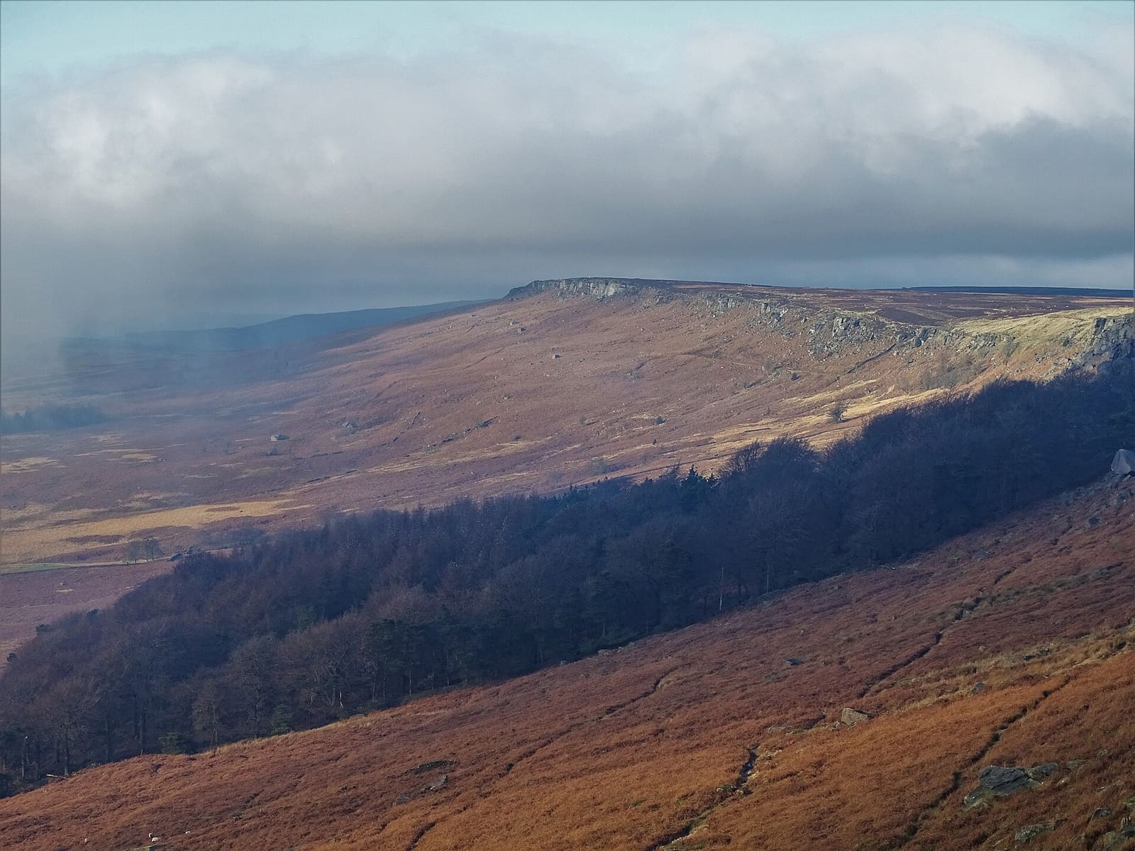
Hathersage, Longshaw & Eyam
Falaises de grès, Padley Gorge et le village de la peste d'Eyam, sur le versant est du Peak
Ouvrir le mini-guide →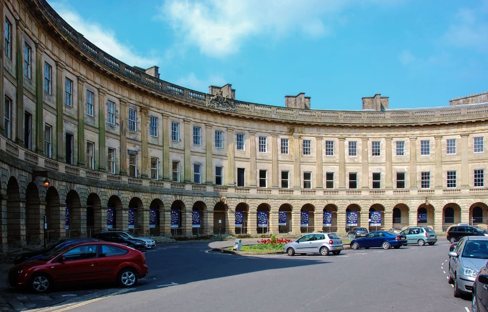
Buxton & the Northern Peak
Une ville thermale géorgienne avec un opéra, une grotte aménagée et la vallée de la Goyt à sa porte
Ouvrir le mini-guide →Crédits photos
- Peak Rail: mattbuck (category), CC BY-SA 3.0, source
- Matlock Bath, Matlock & the Derwent Valley (area photo): Janine Forbes., CC BY-SA 2.0, source
- Heights of Abraham: Elliott Brown from Birmingham, United Kingdom, CC BY-SA 2.0, source
- Peak District Mining Museum: Andy Stephenson, CC BY-SA 2.0, source
- Cromford Mills: chevin, Public domain, source
- Dovedale, Ashbourne & the White Peak South: Paul Albertella from Manchester, UK, CC BY 2.0, source
- Hathersage, Longshaw & Eyam: Neil Theasby, CC BY-SA 2.0, source
- Buxton & the Northern Peak: Eugene Birchall, CC BY-SA 2.0, source
- Castleton, Hope Valley & Edale: Peter Barr, CC BY-SA 2.0, source
- Bakewell, Haddon & Monsal: Kmtextor, CC BY-SA 4.0, source
Photos from Wikimedia Commons, used under the licences shown. All photo credits
Continuez à explorer le Peak District