 English (UK)
 English (US)
 Français
 Deutsch
 Español
 Italiano
 Nederlands
 简体中文
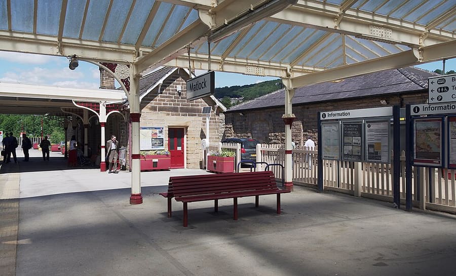
Una mini guida a
Matlock Bath, Matlock & the Derwent Valley: come arrivare
Fermate, stazioni e come raggiungere Matlock Bath, Matlock & the Derwent Valley
Fermate e stazioni
Come arrivare a Matlock Bath, Matlock & the Derwent Valley
Scegliere la fermata più vicina alla destinazione.
| Fermata o stazione | Servizi | Adatto a |
|---|---|---|
| Derwent Valley Line | East Midlands Railway | Visit Peak District indica che la linea collega Derby, Nottingham e Lincoln con Matlock e serve Cromford e Belper; Matlock Bath ha una propria stazione |
| Stagecoach Gold X17 | Stagecoach | Va da Sheffield e Chesterfield a Matlock Bath, Cromford e Wirksworth, secondo Visit Peak District; gli orari sono su Stagecoach |
| Trentbarton 6.1 | Trentbarton | Il servizio 6.1 prosegue ogni ora da Belper a Wirksworth, Matlock Bath, Matlock e Bakewell, secondo Visit Peak District |
| Peak Rail | Peak Rail | Treni a vapore e diesel storici da Matlock a Rowsley South via Darley Dale; consulti il calendario di esercizio |
Within walking range
Stations near Matlock Bath, Matlock & the Derwent Valley
Stations and stops mapped in OpenStreetMap within 2.5 km of the centre of Matlock Bath, Matlock & the Derwent Valley, nearest first. Distances are straight lines; walking times assume 5 km/h and are a minimum.
| Station or stop | Tipo | Distanza | A piedi |
|---|---|---|---|
| Matlock Bath | Rail station (East Midlands Railway) | 400 m | about 4 min |
| Cromford | Rail station (East Midlands Railway) | 1.1 km | about 13 min |
| Matlock | Rail station (East Midlands Railway) | 2.0 km | about 24 min |
| Matlock Riverside | Heritage railway (Peak Rail) | 2.4 km | about 29 min |
Station data: © OpenStreetMap contributors (ODbL), read 25 October 2026. Check step-free access with the operator before you travel.
Walking from nearby areas
- Bakewell, Haddon & Monsal: 13.8 km from Matlock Bath, Matlock & the Derwent Valley, better by public transport
- Dovedale, Ashbourne & the White Peak South: 16.0 km from Matlock Bath, Matlock & the Derwent Valley, better by public transport
- Hathersage, Longshaw & Eyam: 21.8 km from Matlock Bath, Matlock & the Derwent Valley, better by public transport
- Castleton, Hope Valley & Edale: 29.1 km from Matlock Bath, Matlock & the Derwent Valley, better by public transport
Come raggiungere il Peak District
Informazioni ufficiali sui trasporti
Il Peak District si trova tra Manchester e Sheffield a nord e Derby a sud. Visit Peak District consiglia i mezzi pubblici quando possibile, e diverse linee ferroviarie e di autobus raggiungono il parco. I tempi di percorrenza qui sotto sono quelli indicati nelle sue pagine e in quelle di Northern; verificare sempre con i gestori gli orari aggiornati.
- Visit Peak District: come arrivare → — Visit Peak District & Derbyshire, l'ente turistico della zona
- Northern: il Peak District → — linee dell'Hope Valley, di Buxton e di Glossop
- Peak District National Park Authority → — sito ufficiale del parco; blocca le richieste automatiche, quindi non è stato letto per questa guida
- Travel Derbyshire → — orari per il Peak District, il Derbyshire e Derby
- National Rail → — orari e biglietti dei treni
- Traveline → — pianificatore di viaggio per autobus e pullman
Orari, tariffe e disservizi cambiano: per informazioni in tempo reale consultare le pagine dei gestori qui sopra.
Pianifichi qui il tragitto
Inserisca il punto di partenza e Google Maps mostrerà i percorsi per Matlock Bath, Matlock & the Derwent Valley. Il trasporto pubblico è preselezionato; si può cambiare sulla mappa. Per eventuali disagi in tempo reale, controllare i siti degli operatori.
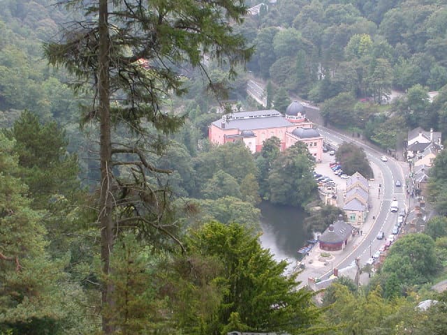
While you are here
Things to see in Matlock Bath, Matlock & the Derwent Valley
A few of the sights in the area. The Things to do page lists them all, with directions and official links.
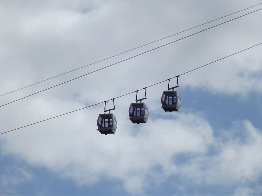
Heights of Abraham
Parco in cima a Masson Hill raggiungibile in funivia, con visite a caverne e miniere; aperto dall'epoca vittoriana.
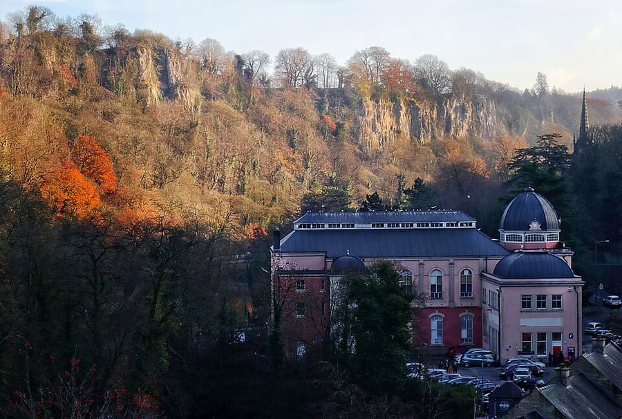
Peak District Mining Museum
Museo gestito da un ente di beneficenza nel Grand Pavilion di Matlock Bath, con ricostruzioni di miniere di piombo che i bambini possono esplorare.
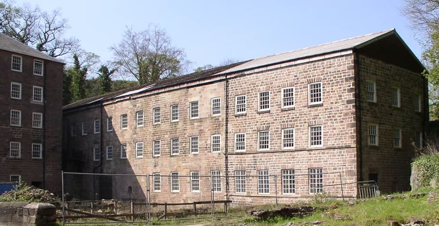
Cromford Mills
Cotonificio ad acqua di Richard Arkwright del 1771, il primo del suo genere, nel cuore del sito Patrimonio dell'Umanità.
The Peak District
More areas to explore
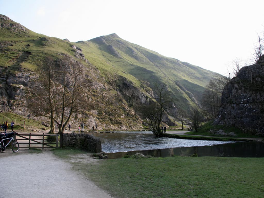
Dovedale, Ashbourne & the White Peak South
Le pietre di guado del River Dove, i percorsi sulle ex ferrovie e la cittadina mercato di Ashbourne
Apri la mini guida →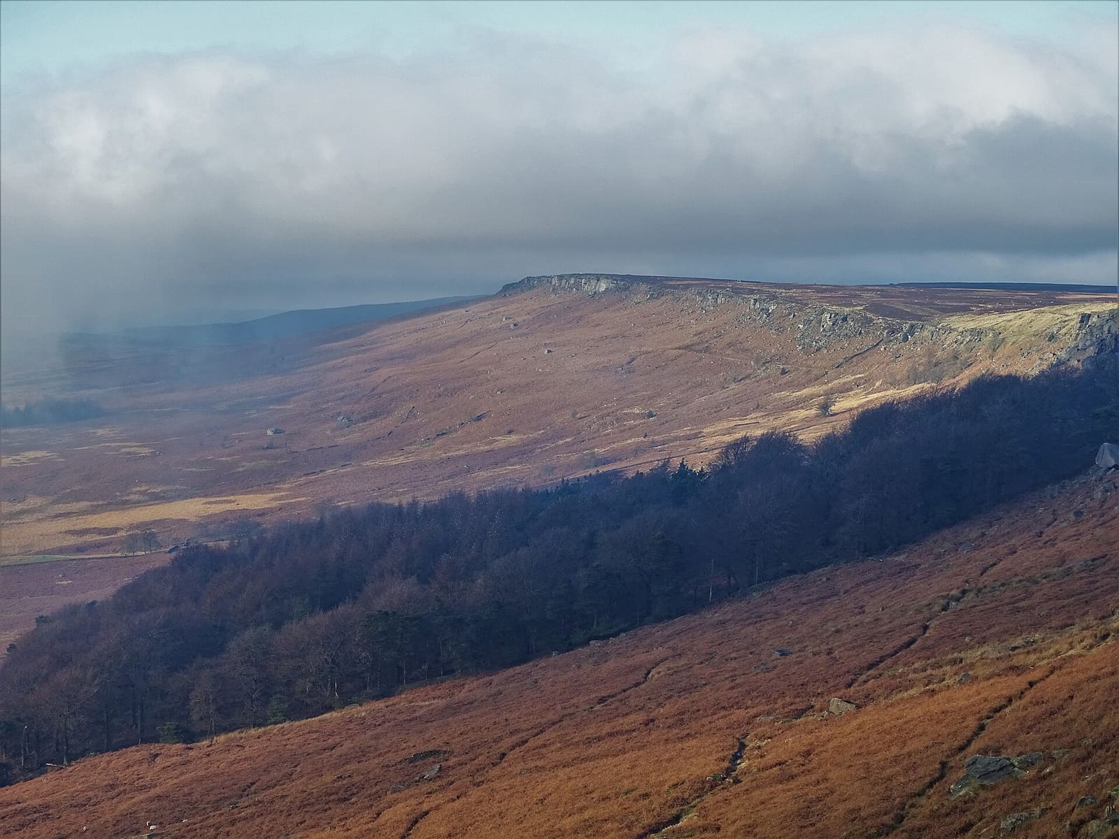
Hathersage, Longshaw & Eyam
Creste di gritstone, Padley Gorge e il villaggio della peste di Eyam sul versante orientale del Peak
Apri la mini guida →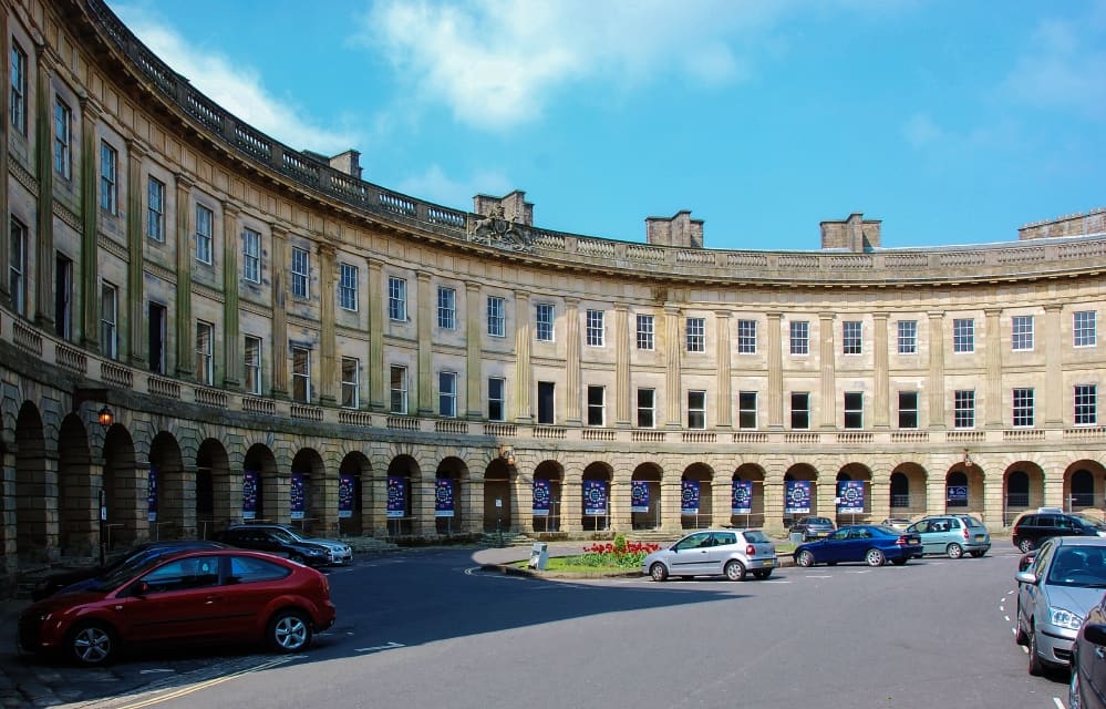
Buxton & the Northern Peak
Una città termale georgiana con un teatro dell’opera, una grotta visitabile e la Goyt Valley alle porte
Apri la mini guida →Crediti fotografici
- Peak Rail: mattbuck (category), CC BY-SA 3.0, source
- Matlock Bath, Matlock & the Derwent Valley (area photo): Janine Forbes., CC BY-SA 2.0, source
- Heights of Abraham: Elliott Brown from Birmingham, United Kingdom, CC BY-SA 2.0, source
- Peak District Mining Museum: Andy Stephenson, CC BY-SA 2.0, source
- Cromford Mills: chevin, Public domain, source
- Dovedale, Ashbourne & the White Peak South: Paul Albertella from Manchester, UK, CC BY 2.0, source
- Hathersage, Longshaw & Eyam: Neil Theasby, CC BY-SA 2.0, source
- Buxton & the Northern Peak: Eugene Birchall, CC BY-SA 2.0, source
- Castleton, Hope Valley & Edale: Peter Barr, CC BY-SA 2.0, source
- Bakewell, Haddon & Monsal: Kmtextor, CC BY-SA 4.0, source
Photos from Wikimedia Commons, used under the licences shown. All photo credits
Continui a esplorare il Peak District