 English (UK)
 English (US)
 Français
 Deutsch
 Español
 Italiano
 Nederlands
 简体中文
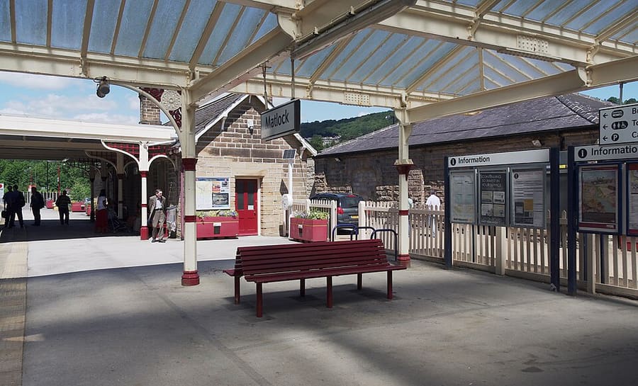
Een minigids voor
Matlock Bath, Matlock & the Derwent Valley: hoe komt u er
Haltes, stations en hoe u bij Matlock Bath, Matlock & the Derwent Valley komt
Haltes en stations
Hoe komt u bij Matlock Bath, Matlock & the Derwent Valley
Kies de halte die het dichtst bij uw bestemming ligt.
| Halte of station | Voorzieningen | Geschikt voor |
|---|---|---|
| Derwent Valley Line | East Midlands Railway | Visit Peak District meldt dat de lijn Derby, Nottingham en Lincoln met Matlock verbindt en Cromford en Belper bedient; Matlock Bath heeft een eigen station |
| Stagecoach Gold X17 | Stagecoach | Rijdt van Sheffield en Chesterfield naar Matlock Bath, Cromford en Wirksworth, volgens Visit Peak District; raadpleeg Stagecoach voor de tijden |
| Trentbarton 6.1 | Trentbarton | Lijn 6.1 rijdt volgens Visit Peak District ieder uur door van Belper naar Wirksworth, Matlock Bath, Matlock en Bakewell |
| Peak Rail | Peak Rail | Stoomtreinen en historische dieseltreinen van Matlock via Darley Dale naar Rowsley South; controleer de dienstkalender |
Within walking range
Stations near Matlock Bath, Matlock & the Derwent Valley
Stations and stops mapped in OpenStreetMap within 2.5 km of the centre of Matlock Bath, Matlock & the Derwent Valley, nearest first. Distances are straight lines; walking times assume 5 km/h and are a minimum.
| Station or stop | Type | Afstand | Te voet |
|---|---|---|---|
| Matlock Bath | Rail station (East Midlands Railway) | 400 m | about 4 min |
| Cromford | Rail station (East Midlands Railway) | 1.1 km | about 13 min |
| Matlock | Rail station (East Midlands Railway) | 2.0 km | about 24 min |
| Matlock Riverside | Heritage railway (Peak Rail) | 2.4 km | about 29 min |
Station data: © OpenStreetMap contributors (ODbL), read 25 October 2026. Check step-free access with the operator before you travel.
Walking from nearby areas
- Bakewell, Haddon & Monsal: 13.8 km from Matlock Bath, Matlock & the Derwent Valley, better by public transport
- Dovedale, Ashbourne & the White Peak South: 16.0 km from Matlock Bath, Matlock & the Derwent Valley, better by public transport
- Hathersage, Longshaw & Eyam: 21.8 km from Matlock Bath, Matlock & the Derwent Valley, better by public transport
- Castleton, Hope Valley & Edale: 29.1 km from Matlock Bath, Matlock & the Derwent Valley, better by public transport
Het Peak District bereiken
Officiële reisinformatie
Het Peak District ligt tussen Manchester en Sheffield in het noorden en Derby in het zuiden. Visit Peak District raadt waar mogelijk het openbaar vervoer aan, en verschillende lijnen en buslijnen bereiken het park. De reistijden hieronder zijn die van de pagina's van Visit Peak District en Northern; controleer altijd bij de vervoerders de actuele tijden.
- Visit Peak District: hoe kom je er → — Visit Peak District & Derbyshire, de toeristische organisatie van de regio
- Northern: het Peak District → — de lijnen Hope Valley, Buxton en Glossop
- Peak District National Park Authority → — officiële parksite; de site blokkeert geautomatiseerde verzoeken en is daarom niet gelezen voor deze gids
- Travel Derbyshire → — dienstregelingen voor het Peak District, Derbyshire en Derby
- National Rail → — treintijden en tickets
- Traveline → — routeplanner voor bus en streekbus
Tijden, tarieven en storingen veranderen: raadpleeg de bovenstaande pagina's van de vervoerders voor actuele informatie.
Plan hier uw reis
Voer uw vertrekpunt in en Google Maps toont routes naar Matlock Bath, Matlock & the Derwent Valley. Openbaar vervoer is geselecteerd; wijzig dit op de kaart. Controleer de websites van de vervoerders voor actuele verstoringen.
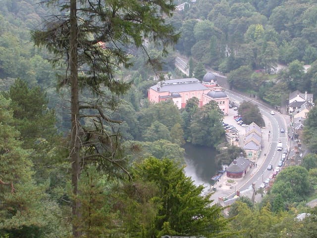
While you are here
Things to see in Matlock Bath, Matlock & the Derwent Valley
A few of the sights in the area. The Things to do page lists them all, with directions and official links.
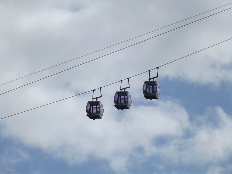
Heights of Abraham
Park op de top van Masson Hill, bereikbaar per kabelbaan, met rondleidingen door grotten en mijnen; geopend sinds de Victoriaanse tijd.
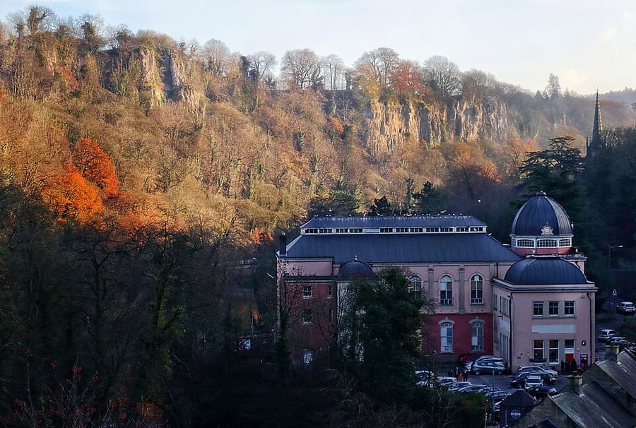
Peak District Mining Museum
Museum van een liefdadigheidsinstelling in het Grand Pavilion van Matlock Bath, met nagebouwde loodmijnen die kinderen kunnen verkennen.
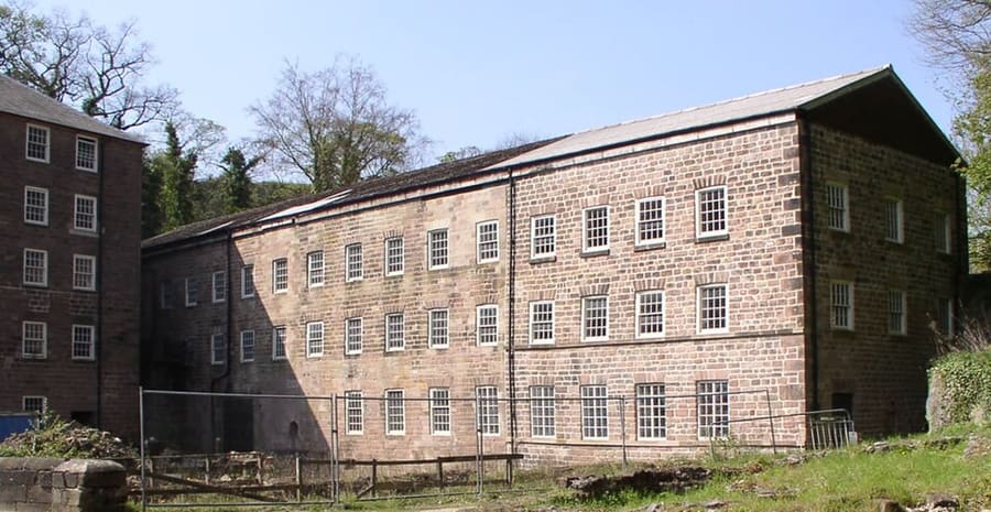
Cromford Mills
Richard Arkwrights door water aangedreven katoenspinnerij uit 1771, de eerste in zijn soort, in het hart van het werelderfgoed.
The Peak District
More areas to explore
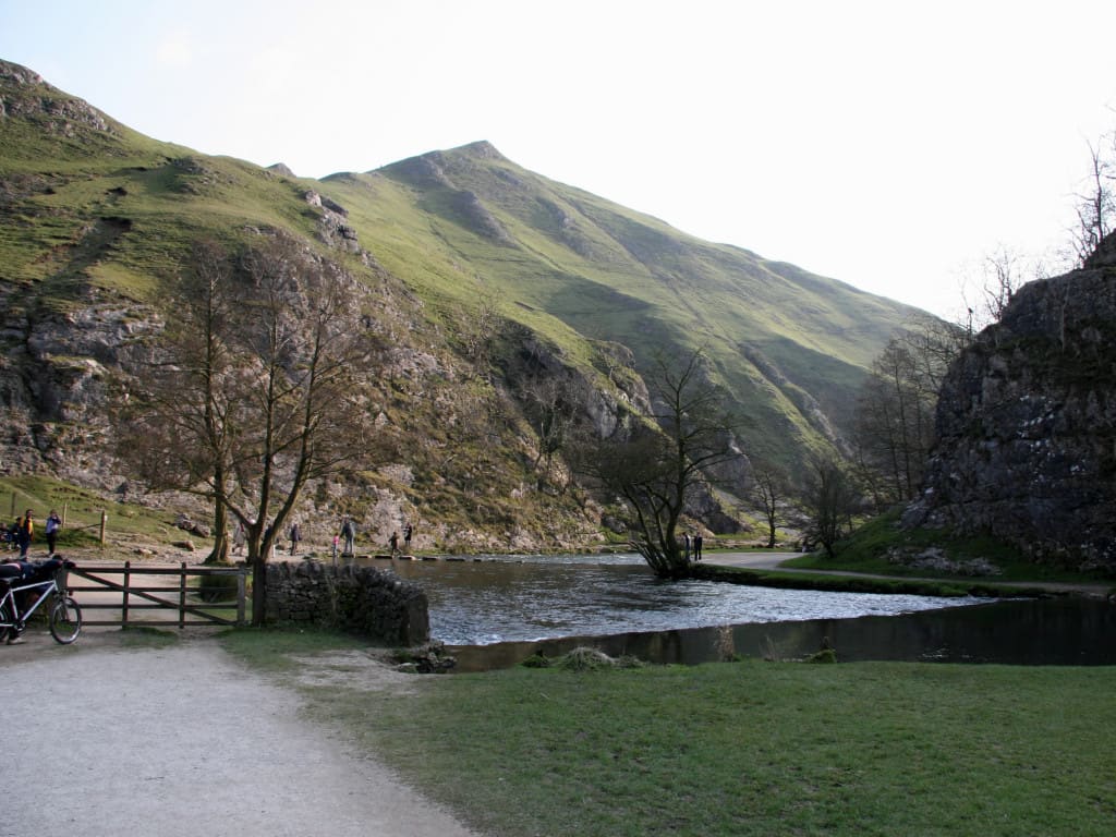
Dovedale, Ashbourne & the White Peak South
De stapstenen van de River Dove, voormalige spoorwegroutes en de marktstad Ashbourne
Open de minigids →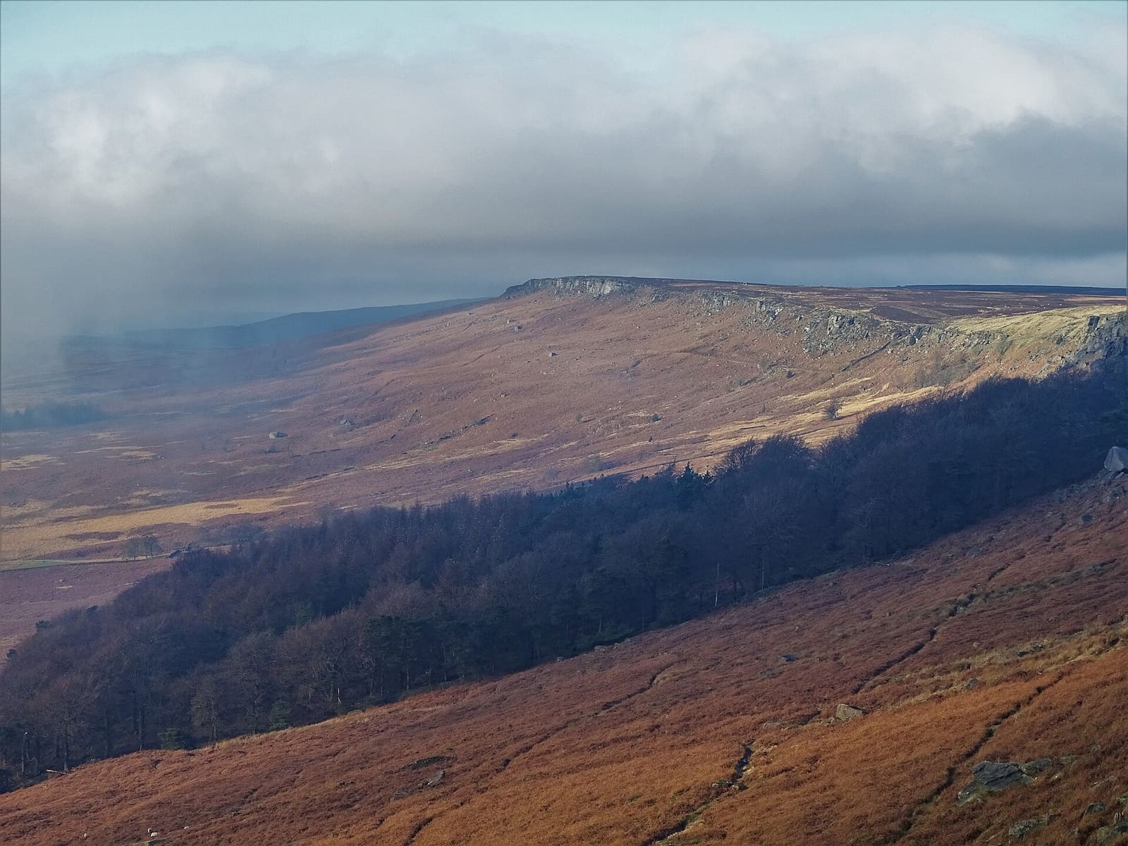
Hathersage, Longshaw & Eyam
Gritstone-randen, Padley Gorge en het pestdorp Eyam aan de oostkant van de Peak
Open de minigids →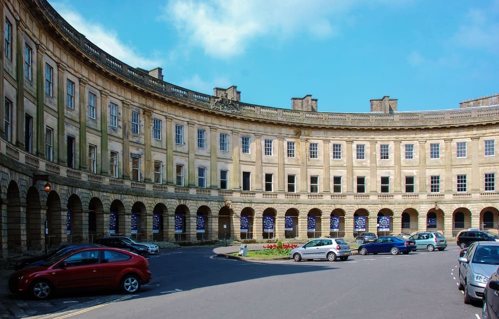
Buxton & the Northern Peak
Een Georgiaanse badplaats met een operahuis, een toonbare grot en de Goyt Valley voor de deur
Open de minigids →Fotoverantwoording
- Peak Rail: mattbuck (category), CC BY-SA 3.0, source
- Matlock Bath, Matlock & the Derwent Valley (area photo): Janine Forbes., CC BY-SA 2.0, source
- Heights of Abraham: Elliott Brown from Birmingham, United Kingdom, CC BY-SA 2.0, source
- Peak District Mining Museum: Andy Stephenson, CC BY-SA 2.0, source
- Cromford Mills: chevin, Public domain, source
- Dovedale, Ashbourne & the White Peak South: Paul Albertella from Manchester, UK, CC BY 2.0, source
- Hathersage, Longshaw & Eyam: Neil Theasby, CC BY-SA 2.0, source
- Buxton & the Northern Peak: Eugene Birchall, CC BY-SA 2.0, source
- Castleton, Hope Valley & Edale: Peter Barr, CC BY-SA 2.0, source
- Bakewell, Haddon & Monsal: Kmtextor, CC BY-SA 4.0, source
Photos from Wikimedia Commons, used under the licences shown. All photo credits
Ontdek meer van het Peak District