 English (UK)
 English (US)
 Français
 Deutsch
 Español
 Italiano
 Nederlands
 简体中文
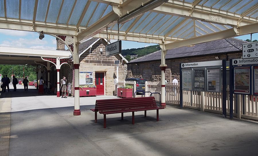
Ein Mini-Guide zu
Matlock Bath, Matlock & the Derwent Valley: Anreise
Haltestellen, Stationen und Anreise: Matlock Bath, Matlock & the Derwent Valley
Haltestellen und Stationen
Anreise nach Matlock Bath, Matlock & the Derwent Valley
Wählen Sie die Haltestelle, die Ihrem Ziel am nächsten liegt.
| Haltestelle oder Station | Services | Gut für |
|---|---|---|
| Derwent Valley Line | East Midlands Railway | Visit Peak District zufolge verbindet die Strecke Derby, Nottingham und Lincoln mit Matlock und bedient Cromford und Belper; Matlock Bath hat einen eigenen Bahnhof |
| Stagecoach Gold X17 | Stagecoach | Verkehrt laut Visit Peak District von Sheffield und Chesterfield nach Matlock Bath, Cromford und Wirksworth; Fahrzeiten bei Stagecoach prüfen |
| Trentbarton 6.1 | Trentbarton | Linie 6.1 fährt laut Visit Peak District stündlich weiter von Belper nach Wirksworth, Matlock Bath, Matlock und Bakewell |
| Peak Rail | Peak Rail | Dampf- und historische Dieselzüge von Matlock über Darley Dale nach Rowsley South; Betriebskalender prüfen |
Within walking range
Stations near Matlock Bath, Matlock & the Derwent Valley
Stations and stops mapped in OpenStreetMap within 2.5 km of the centre of Matlock Bath, Matlock & the Derwent Valley, nearest first. Distances are straight lines; walking times assume 5 km/h and are a minimum.
| Station or stop | Art | Entfernung | Zu Fuß |
|---|---|---|---|
| Matlock Bath | Rail station (East Midlands Railway) | 400 m | about 4 min |
| Cromford | Rail station (East Midlands Railway) | 1.1 km | about 13 min |
| Matlock | Rail station (East Midlands Railway) | 2.0 km | about 24 min |
| Matlock Riverside | Heritage railway (Peak Rail) | 2.4 km | about 29 min |
Station data: © OpenStreetMap contributors (ODbL), read 25 October 2026. Check step-free access with the operator before you travel.
Walking from nearby areas
- Bakewell, Haddon & Monsal: 13.8 km from Matlock Bath, Matlock & the Derwent Valley, better by public transport
- Dovedale, Ashbourne & the White Peak South: 16.0 km from Matlock Bath, Matlock & the Derwent Valley, better by public transport
- Hathersage, Longshaw & Eyam: 21.8 km from Matlock Bath, Matlock & the Derwent Valley, better by public transport
- Castleton, Hope Valley & Edale: 29.1 km from Matlock Bath, Matlock & the Derwent Valley, better by public transport
Anreise in den Peak District
Offizielle Reiseinformationen
Der Peak District liegt zwischen Manchester und Sheffield im Norden und Derby im Süden. Visit Peak District empfiehlt wo möglich öffentliche Verkehrsmittel, und mehrere Bahn- und Buslinien erreichen den Park. Die Fahrzeiten unten entsprechen den Angaben auf den Seiten von Visit Peak District und Northern; prüfen Sie stets bei den Betreibern die aktuellen Zeiten.
- Visit Peak District: getting here → — Visit Peak District & Derbyshire, die regionale Tourismusorganisation
- Northern: the Peak District → — Strecken Hope Valley, Buxton und Glossop
- Peak District National Park Authority → — offizielle Website des Parks; sie blockiert automatisierte Abrufe und wurde daher für diesen Guide nicht gelesen
- Travel Derbyshire → — Fahrpläne für den Peak District, Derbyshire und Derby
- National Rail → — Zugzeiten und Tickets
- Traveline → — Bus- und Reisebus-Routenplaner
Zeiten, Preise und Störungen ändern sich: Aktuelle Informationen finden Sie auf den Seiten der Betreiber oben.
Fahrt hierher planen
Geben Sie Ihren Startpunkt ein, und Google Maps zeigt Ihnen Routen nach Matlock Bath, Matlock & the Derwent Valley. Öffentliche Verkehrsmittel sind voreingestellt; Sie können das auf der Karte ändern. Aktuelle Störungen finden Sie auf den Websites der Betreiber.
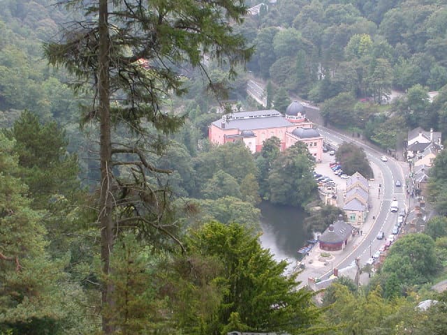
While you are here
Things to see in Matlock Bath, Matlock & the Derwent Valley
A few of the sights in the area. The Things to do page lists them all, with directions and official links.
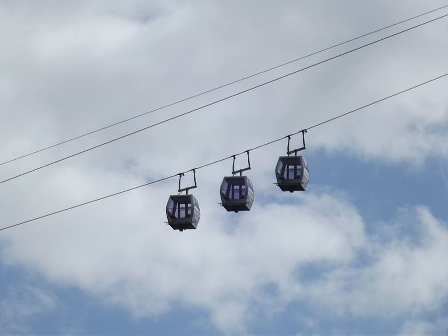
Heights of Abraham
Bergpark auf dem Masson Hill, per Seilbahn erreichbar, mit Höhlen- und Bergwerksführungen; seit viktorianischer Zeit geöffnet.
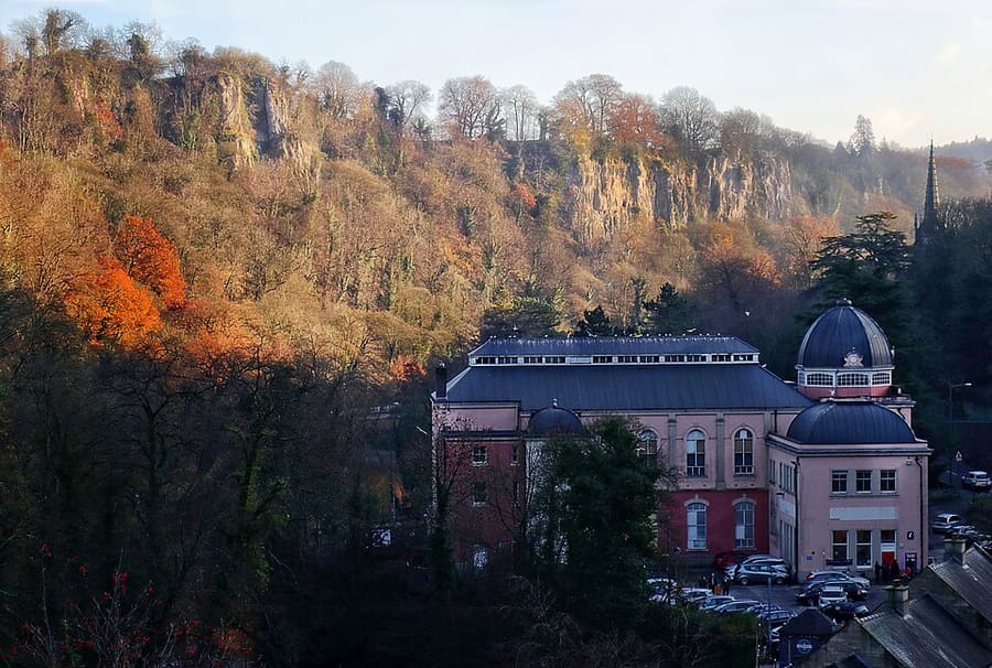
Peak District Mining Museum
Von einer Wohltätigkeitsorganisation getragenes Museum im Grand Pavilion von Matlock Bath mit nachgebauten Bleiminen, die Kinder erkunden können.
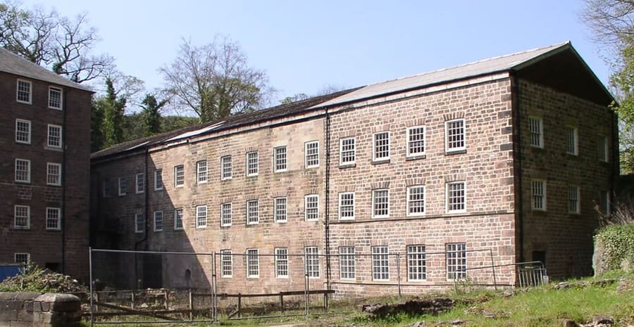
Cromford Mills
Richard Arkwrights wasserbetriebene Baumwollspinnerei von 1771, die erste ihrer Art, im Herzen des UNESCO-Welterbes.
The Peak District
More areas to explore
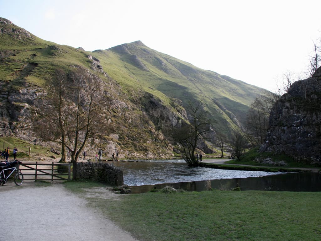
Dovedale, Ashbourne & the White Peak South
Die Trittsteine des River Dove, Bahntrassen-Radwege und die Marktstadt Ashbourne
Mini-Guide öffnen →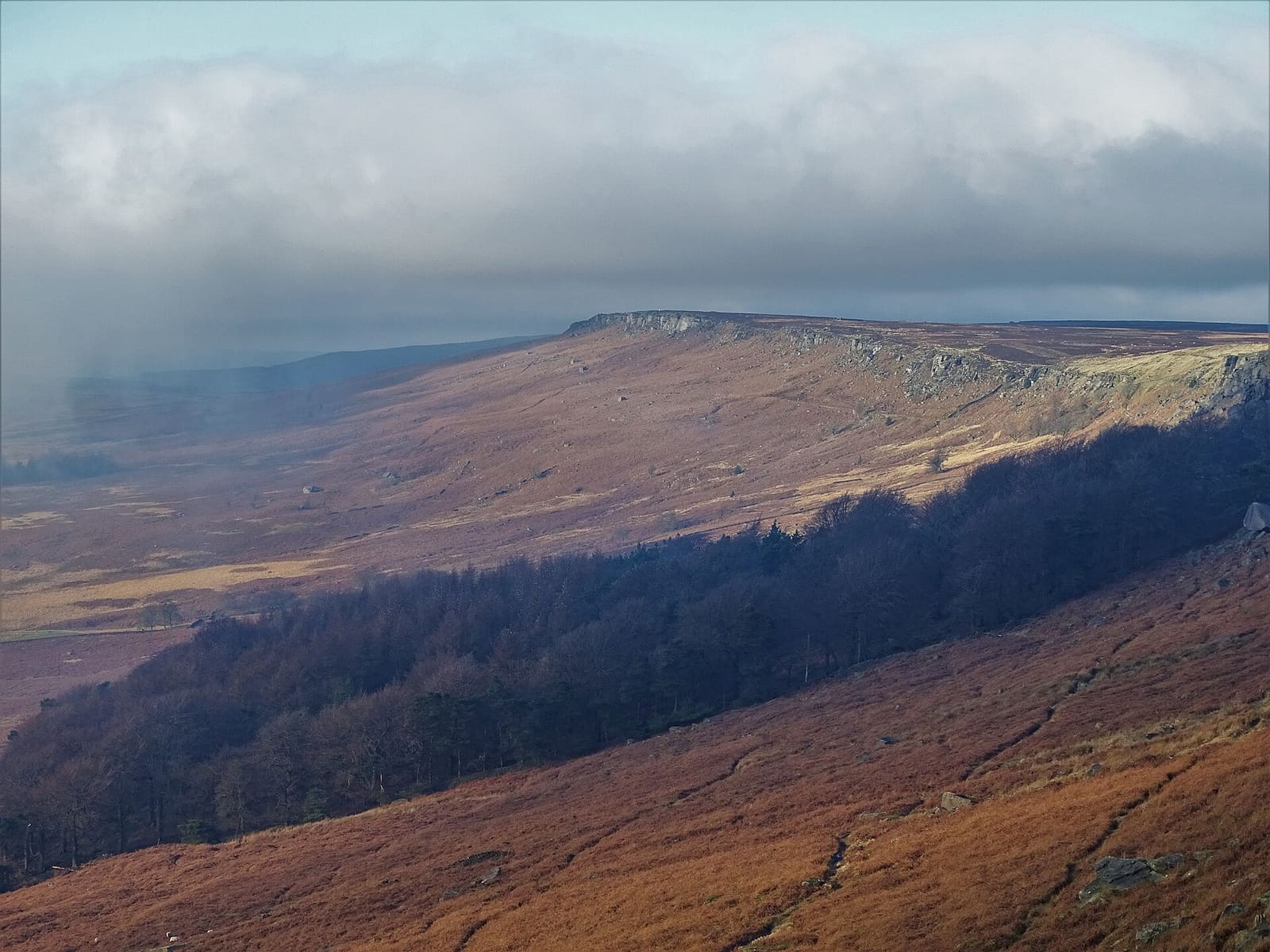
Hathersage, Longshaw & Eyam
Gritstone-Kanten, Padley Gorge und das Pestdorf Eyam auf der Ostseite des Peak
Mini-Guide öffnen →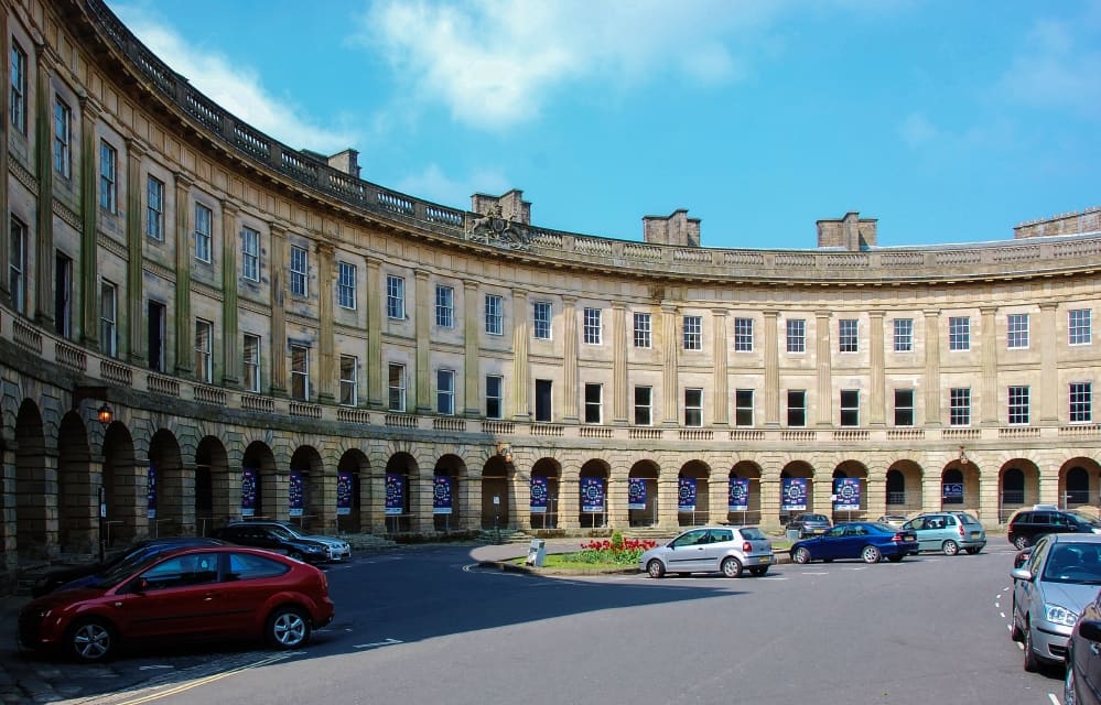
Buxton & the Northern Peak
Eine georgianische Kurstadt mit Opernhaus, einer Schauhöhle und dem Goyt Valley vor der Haustür
Mini-Guide öffnen →Fotonachweise
- Peak Rail: mattbuck (category), CC BY-SA 3.0, source
- Matlock Bath, Matlock & the Derwent Valley (area photo): Janine Forbes., CC BY-SA 2.0, source
- Heights of Abraham: Elliott Brown from Birmingham, United Kingdom, CC BY-SA 2.0, source
- Peak District Mining Museum: Andy Stephenson, CC BY-SA 2.0, source
- Cromford Mills: chevin, Public domain, source
- Dovedale, Ashbourne & the White Peak South: Paul Albertella from Manchester, UK, CC BY 2.0, source
- Hathersage, Longshaw & Eyam: Neil Theasby, CC BY-SA 2.0, source
- Buxton & the Northern Peak: Eugene Birchall, CC BY-SA 2.0, source
- Castleton, Hope Valley & Edale: Peter Barr, CC BY-SA 2.0, source
- Bakewell, Haddon & Monsal: Kmtextor, CC BY-SA 4.0, source
Photos from Wikimedia Commons, used under the licences shown. All photo credits
Weiter entdecken: Peak District