 English (UK)
 English (US)
 Français
 Deutsch
 Español
 Italiano
 Nederlands
 简体中文
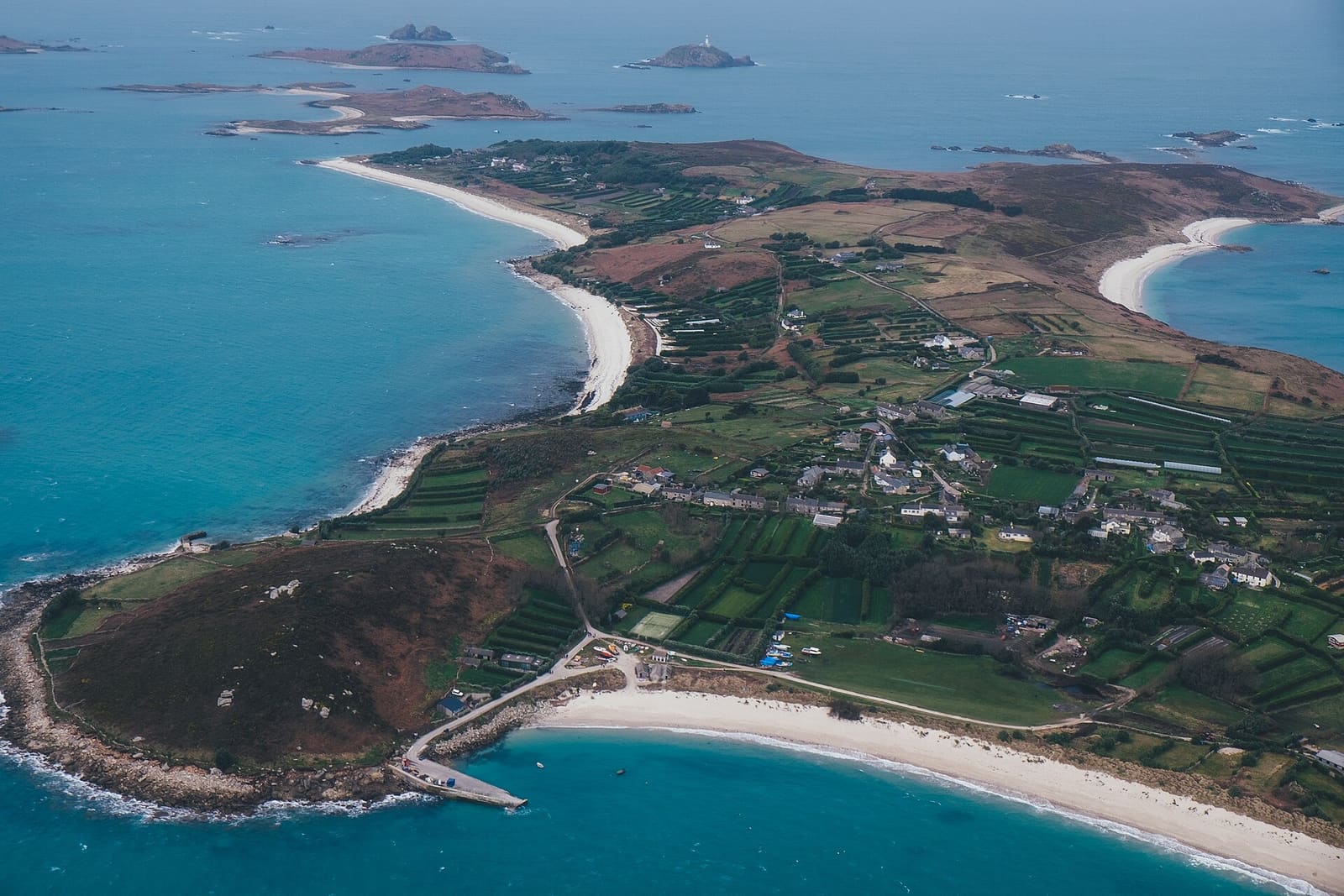
Isles of Scilly
Five inhabited islands and around 140 rocks and islets 28 miles off Land's End
The Isles of Scilly are a small archipelago about 28 miles (45 km) south-west of Land's End. Five islands are inhabited: St Mary's, the largest, with the main town and harbour at Hugh Town, and the four smaller "off-islands" of Tresco, St Martin's, Bryher and St Agnes. The whole archipelago is a National Landscape (designated as an Area of Outstanding Natural Beauty in 1975), and the islands have their own council, separate from Cornwall Council.
There is no car ferry and visitors leave their cars on the mainland. You arrive by the Scillonian III ferry from Penzance (March to November), by Skybus plane from Land's End, Newquay or Exeter, or by helicopter from Penzance to St Mary's or Tresco. Once there, small passenger boats link the islands every day in season, and most people explore on foot. This guide has two parts: St Mary's and Hugh Town, and the off-islands.
- Ferry from PenzanceAbout 2 h 45 minScillonian III to St Mary's, March to November, according to Isles of Scilly Travel
- Flight from Land's EndEtwa 20 Min.Skybus to St Mary's all year; Penzance Helicopters also fly to St Mary's and Tresco
- Inhabited islandsFiveSt Mary's, Tresco, St Martin's, Bryher and St Agnes, among more than 140 islands and rocks
- PopulationEtwa 2.1002021 census figure, rounded; most people live on St Mary's
Gegenden
2 places to begin
Each area has its own mini guide with 22 sights, places to eat and drink, and where to stay across the city.
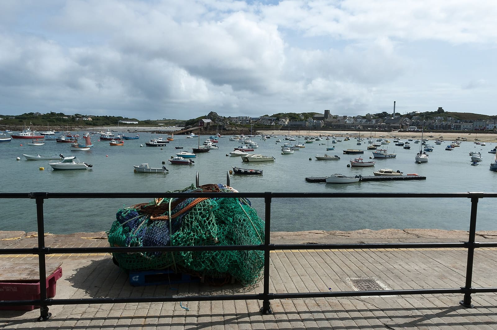
St Mary's & Hugh Town
The largest island, with the quay, the airport, the Garrison and most of the places to eat and stay
Mini-Guide öffnen →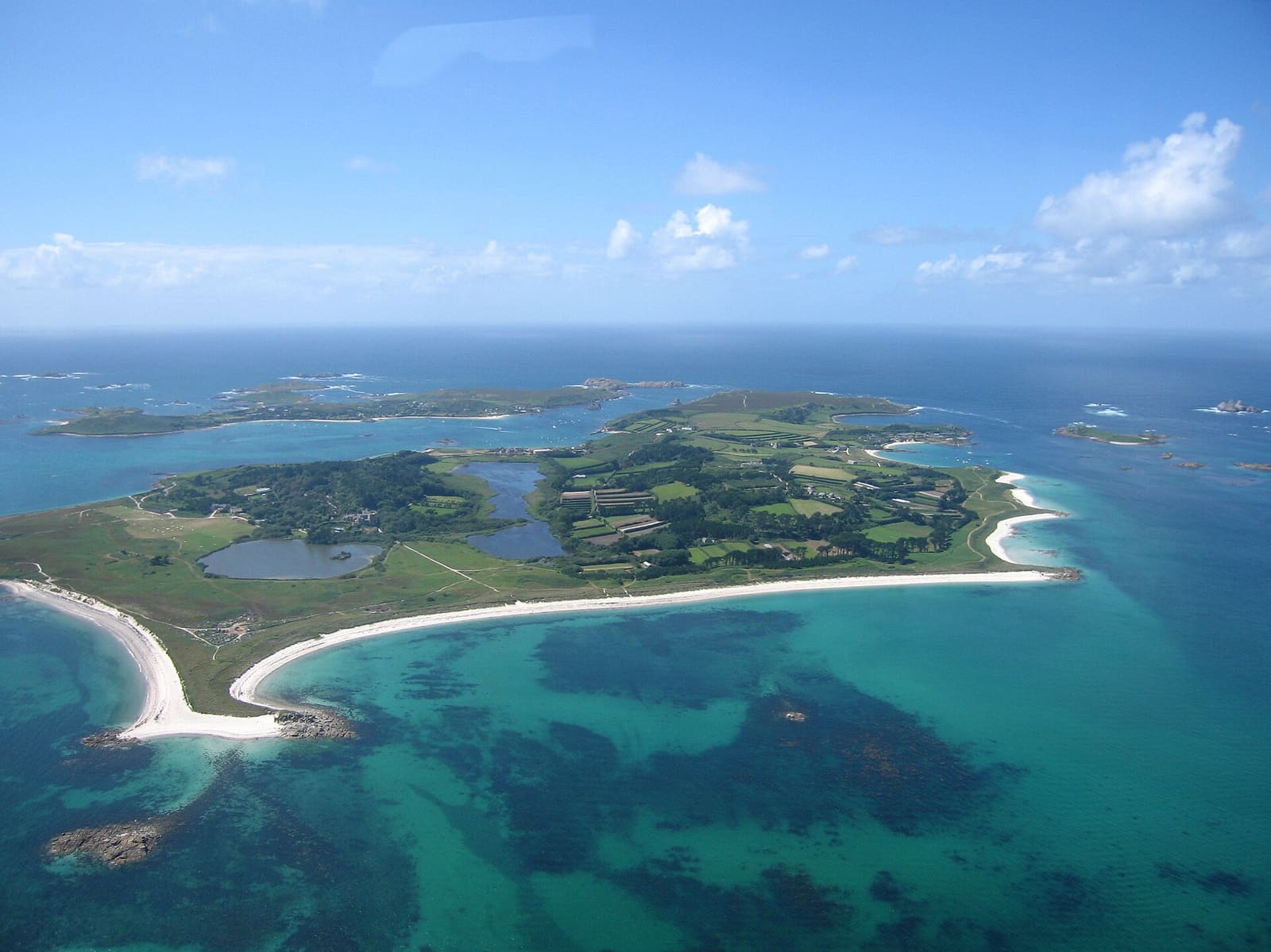
Tresco, Bryher, St Martin's & St Agnes
The four smaller inhabited islands, reached by boat from St Mary's
Mini-Guide öffnen →Sehenswürdigkeiten
Highlights across Isles of Scilly
A sight from each area. Every area guide lists the rest, with directions and official links.
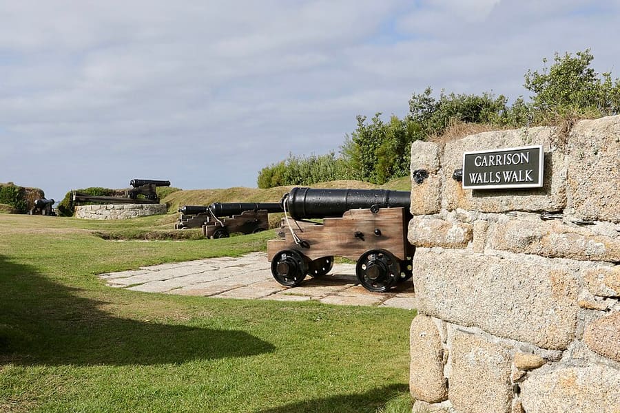
Garrison Walls
Coastal defences around the Garrison headland spanning 350 years; the full circuit takes about two hours, with an exhibition in the Powder House.
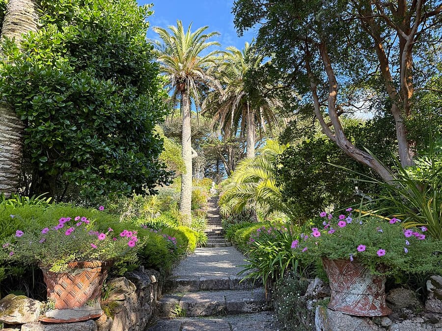
Tresco Abbey Garden
Garden founded by Augustus Smith in the 19th century around a ruined Benedictine abbey, growing subtropical plants; pay at the gate.
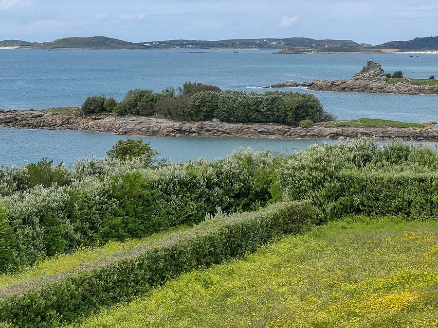
Harry's Walls
Two artillery bastions and a curtain wall from a fort begun in 1551 and left unfinished when Star Castle was built instead.
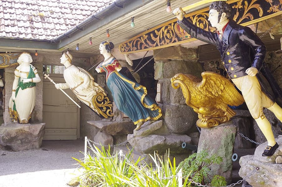
Valhalla figurehead collection
Ship figureheads and other relics of Scilly's maritime history, displayed inside Tresco Abbey Garden.
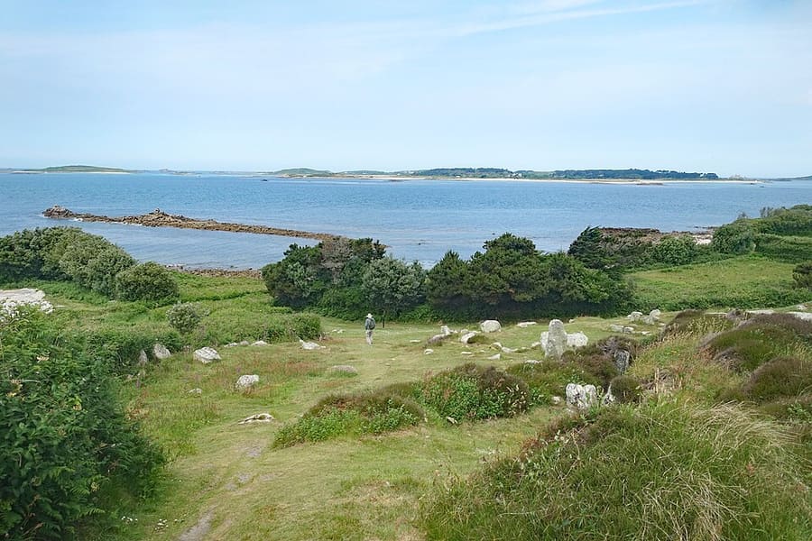
Bant's Carn and Halangy Down
A Bronze Age burial mound above the remains of an Iron Age village in the north-west of the island; free in daylight hours.
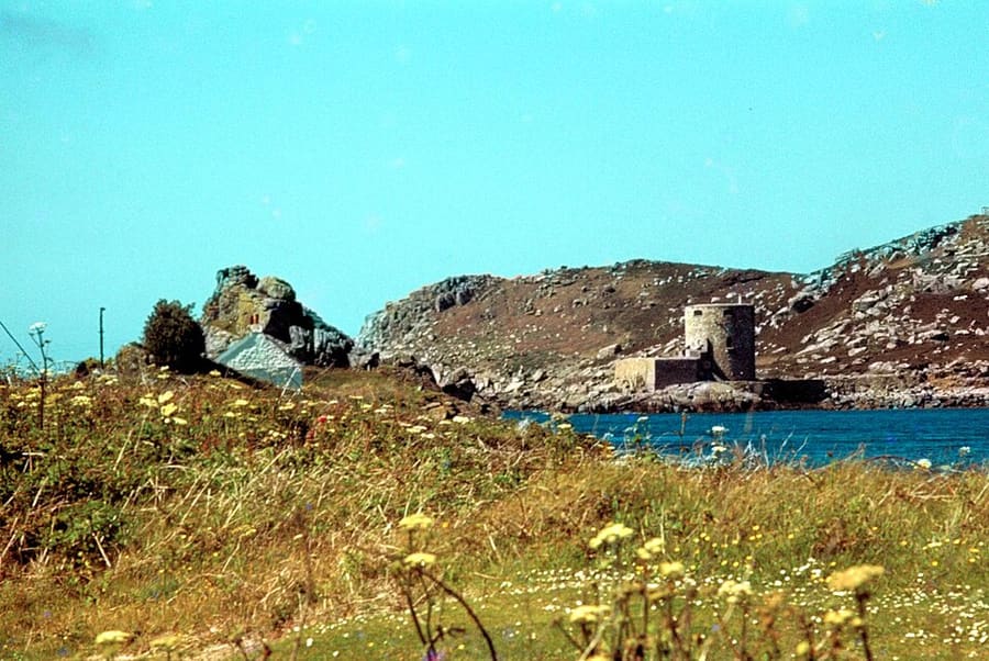
Cromwell's Castle
Round tower built after the Royalist Scillies were conquered in 1651, on the shore north of New Grimsby harbour.
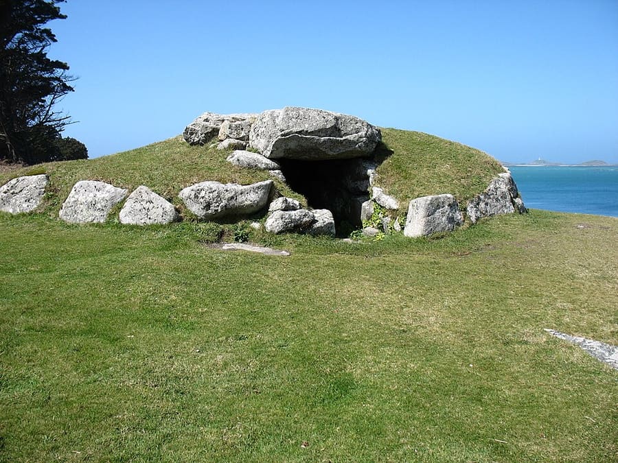
Innisidgen Burial Chambers
Two Bronze Age communal burial cairns with views over the islands; the upper cairn is especially well preserved.
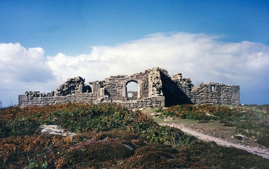
King Charles's Castle
Ruins of a small artillery fort built under Edward VI and garrisoned by Royalists in 1651; reached by a steep heathland path.
Fotos
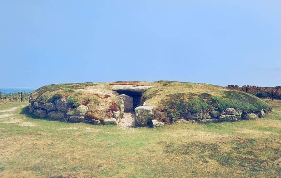 1 / 12
With kids in Isles of Scilly
Animal attractions, railways, science centres, beaches and caves from our Isles of Scilly guide, grouped by type. We hold no age ratings or child prices: check each place’s own site for age limits, height rules and family tickets.
Beaches and swimming
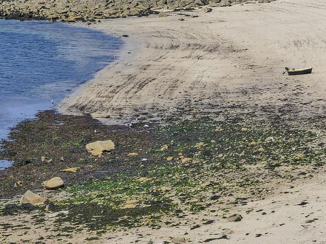 Porthcressa BeachBeach, St Mary's & Hugh Town
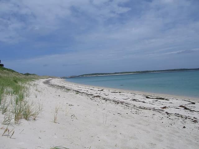 Pentle BayBeach, Tresco, Bryher, St Martin's & St Agnes
Practical help: travelling with children and where to stay in Isles of Scilly.
Anreise
Arriving in Isles of Scilly
All routes to the Isles of Scilly arrive on St Mary's except the helicopter, which also lands on Tresco. Book accommodation before travel: Visit Isles of Scilly advises this because rooms are limited. Check the operators for current timetables, fares and weather disruption.
Scillonian III ferry from Penzance
The crossing from Penzance harbour to St Mary's takes about 2 hours 45 minutes. Isles of Scilly Travel says it runs from March to November and dogs are allowed. The quay is under a 15-minute walk from Penzance railway station.
Skybus flights
Skybus flies 19-seat Twin Otter aircraft to St Mary's Airport. Land's End takes about 20 minutes and runs all year; Exeter takes about an hour (March to October); Isles of Scilly Travel lists Newquay (about 30 minutes) from March 2027.
Helicopter from Penzance
Penzance Helicopters flies from Penzance Heliport at Long Rock to St Mary's and to Tresco, the only direct flight to Tresco. The operator describes it as a 20-minute flight.
Train to Penzance
Penzance is the end of the Cornish main line. Isles of Scilly Travel says GWR sells a combined rail and sail ticket. Our Cornwall guide covers Penzance itself.
Journey times on this page are the operators' own figures, checked on 2 November 2026. We do not publish timetables or fares. Visit Isles of Scilly says you do not need a passport, but flights need photo ID for adults.
Inter-island boats
Tripper boats leave St Mary's quay for the off-islands every day in season, run mainly by the St Mary's Boatmen's Association. Times depend on the tides and are chalked on boards at the quays.
On foot and by bike
The islands are small and most visitors walk. Bikes can be hired on St Mary's and Tresco, and golf buggies are a popular alternative on St Mary's.
Bus and taxi on St Mary's
St Mary's has taxis and a seasonal community bus. The other inhabited islands have almost no vehicles apart from a few farm trucks.
Beste Reisezeit
Isles of Scilly through the year
Visit Isles of Scilly calls May to September the most popular months. The Scillonian III ferry runs from March to November; flights run all year on a reduced winter timetable, and some businesses close in winter.
A good season for flowers, especially narcissi; puffins arrive, and the Walk Scilly festival and the pilot gig championships take place.
The busiest season, with the most boat trips between the islands, beaches, walking, cycling and water sports.
Fewer crowds, good walking weather and the main birdwatching season, when migrant birds bring birders to the islands.
The quietest time, with no ferry, fewer boats and some places closed; flights and the helicopter still operate.
FAQ
Gut zu wissen vor der Reise
How do I get to the Isles of Scilly?
By the Scillonian III ferry from Penzance (about 2 hours 45 minutes, March to November), by Skybus plane from Land's End, Exeter or Newquay, or by Penzance Helicopters to St Mary's or Tresco. See the Getting there pages.
Do I need a passport?
No. Visit Isles of Scilly says adults flying with Isles of Scilly Travel or Penzance Helicopters need photo ID, such as a passport or photo driving licence; under-16s with an adult do not.
Can I take my car?
No. There is no car ferry. Residents' cars are on St Mary's only; visitors walk, cycle, hire a golf buggy, take a taxi or use the seasonal bus.
How do I get between the islands?
By the small passenger boats from St Mary's quay and the off-island quays. Times change with the tide, so check the boards at the quay or the operator before you set off.
Can I bring a dog?
Visit Isles of Scilly says dogs can travel on the plane, ferry and helicopter. Some beaches and parts of Hugh Town have restrictions, and dogs must be on a lead at all times on Tresco.
Nearby places
Guides near Isles of Scilly
Our closest other guides, by straight-line distance between centres. Road and rail distances are longer: check a journey planner.
Fotonachweise
- Isles of Scilly (header): Annie Spratt anniespratt, CC0, source
- St Mary's & Hugh Town: Chris Gorringe, CC BY-SA 2.0, source
- Tresco, Bryher, St Martin's & St Agnes: Tom Corser, CC BY-SA 3.0, source
- Garrison Walls: Andrew Abbott, CC BY-SA 2.0, source
- Tresco Abbey Garden: Andrewrabbott, CC BY-SA 4.0, source
- Harry's Walls: Mike Prince from Bangalore, India, CC BY 2.0, source
- Valhalla figurehead collection: Stephen McKay, CC BY-SA 2.0, source
- Bant's Carn and Halangy Down: Des Blenkinsopp, CC BY-SA 2.0, source
- Cromwell's Castle: Martin Tester, CC BY-SA 2.0, source
- Innisidgen Burial Chambers: David Purchase, CC BY-SA 2.0, source
- King Charles's Castle: Des Blenkinsopp, CC BY-SA 2.0, source
- Porth Hellick Down Burial Chamber: Des Blenkinsopp, CC BY-SA 2.0, source
- Old Blockhouse: Andrewrabbott at English Wikipedia (released into the public domain), Public domain, source
- Peninnis Head: Malcolm Neal, CC BY-SA 2.0, source
- Pentle Bay: Tom Corser, CC BY-SA 2.0 uk, source
- Porthcressa Beach: Mike Prince from Bangalore, India, CC BY 2.0, source
- Shipman Head and Hell Bay: Des Blenkinsopp, CC BY-SA 2.0, source
- St Mary's Old Church: Martin Southwood, CC BY-SA 2.0, source
- Samson: Andrewrabbott, Public domain, source
- St Mary's Church, Hugh Town: Andrewrabbott, CC BY-SA 3.0, source
- St Martin's Daymark: MichaelMaggs, CC BY-SA 3.0, source
- St Agnes Lighthouse: Michael Steele, CC BY-SA 2.0, source
- Gugh: Andrewrabbott at English Wikipedia, Public domain, source
Photos from Wikimedia Commons, used under the licences shown. All photo credits
Gründlich planen
More guides for Isles of Scilly
- Where to stay in Isles of ScillyWelches Gebiet zu welchem Reisenden passt, mit allen von uns geprüften Unterkünften.
- Getting around Isles of ScillyMit und ohne Auto, nach offiziellen Verkehrsseiten.
- When to go to Isles of ScillyWetter, Tageslicht und Packliste Monat für Monat.
- Rainy-day ideas in Isles of ScillyAktivitäten drinnen, nach Gebiet.
- Events in Isles of ScillyFestivals, Märkte und saisonale Veranstaltungen der Veranstalter.
- Attractions in Isles of ScillySehenswürdigkeiten und Museen mit geprüften Angaben zu Eintritt und Zugang.
Weiter entdecken