 English (UK)
 English (US)
 Français
 Deutsch
 Español
 Italiano
 Nederlands
 简体中文
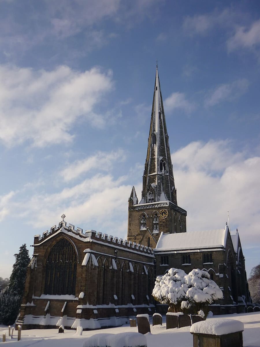
Ein Mini-Guide zu
Dovedale, Ashbourne & the White Peak South: Anreise
Haltestellen, Stationen und Anreise: Dovedale, Ashbourne & the White Peak South
Haltestellen und Stationen
Anreise nach Dovedale, Ashbourne & the White Peak South
Wählen Sie die Haltestelle, die Ihrem Ziel am nächsten liegt.
| Haltestelle oder Station | Services | Gut für |
|---|---|---|
| High Peak 442 | High-Peak-Busse | Visit Peak District nennt die 442 als regelmäßige Verbindung zwischen Ashbourne und Buxton; Abfahrtszeiten erfahren Sie beim Betreiber |
| Bahnhof Derby | East Midlands Railway und andere | Visit Peak District nennt Derby unter den Bahnhöfen der Region und sagt, dass Züge ab London St Pancras International weniger als 2 Stunden brauchen; Ashbourne hat keinen Bahnhof |
| Traveline und Travel Derbyshire | Routenplaner | Visit Peak District verweist für Fahrpläne im Peak District, in Derbyshire und in Derby auf Travel Derbyshire und für die Reiseplanung auf Traveline |
| Tissington Trail | Wandern und Radfahren | Der 13 Meilen lange Bahntrassenweg führt von Ashbourne nach Parsley Hay; The Bike Barn in Ashbourne vermietet Fahrräder für die Strecke |
Walking from nearby areas
- Matlock Bath, Matlock & the Derwent Valley: 16.0 km from Dovedale, Ashbourne & the White Peak South, better by public transport
- Bakewell, Haddon & Monsal: 20.6 km from Dovedale, Ashbourne & the White Peak South, better by public transport
- Buxton & the Northern Peak: 27.2 km from Dovedale, Ashbourne & the White Peak South, better by public transport
- Hathersage, Longshaw & Eyam: 30.2 km from Dovedale, Ashbourne & the White Peak South, better by public transport
Anreise in den Peak District
Offizielle Reiseinformationen
Der Peak District liegt zwischen Manchester und Sheffield im Norden und Derby im Süden. Visit Peak District empfiehlt wo möglich öffentliche Verkehrsmittel, und mehrere Bahn- und Buslinien erreichen den Park. Die Fahrzeiten unten entsprechen den Angaben auf den Seiten von Visit Peak District und Northern; prüfen Sie stets bei den Betreibern die aktuellen Zeiten.
- Visit Peak District: getting here → — Visit Peak District & Derbyshire, die regionale Tourismusorganisation
- Northern: the Peak District → — Strecken Hope Valley, Buxton und Glossop
- Peak District National Park Authority → — offizielle Website des Parks; sie blockiert automatisierte Abrufe und wurde daher für diesen Guide nicht gelesen
- Travel Derbyshire → — Fahrpläne für den Peak District, Derbyshire und Derby
- National Rail → — Zugzeiten und Tickets
- Traveline → — Bus- und Reisebus-Routenplaner
Zeiten, Preise und Störungen ändern sich: Aktuelle Informationen finden Sie auf den Seiten der Betreiber oben.
Fahrt hierher planen
Geben Sie Ihren Startpunkt ein, und Google Maps zeigt Ihnen Routen nach Dovedale, Ashbourne & the White Peak South. Öffentliche Verkehrsmittel sind voreingestellt; Sie können das auf der Karte ändern. Aktuelle Störungen finden Sie auf den Websites der Betreiber.
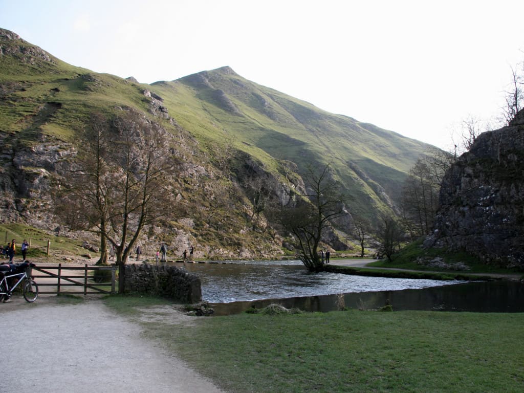
While you are here
Things to see in Dovedale, Ashbourne & the White Peak South
A few of the sights in the area. The Things to do page lists them all, with directions and official links.
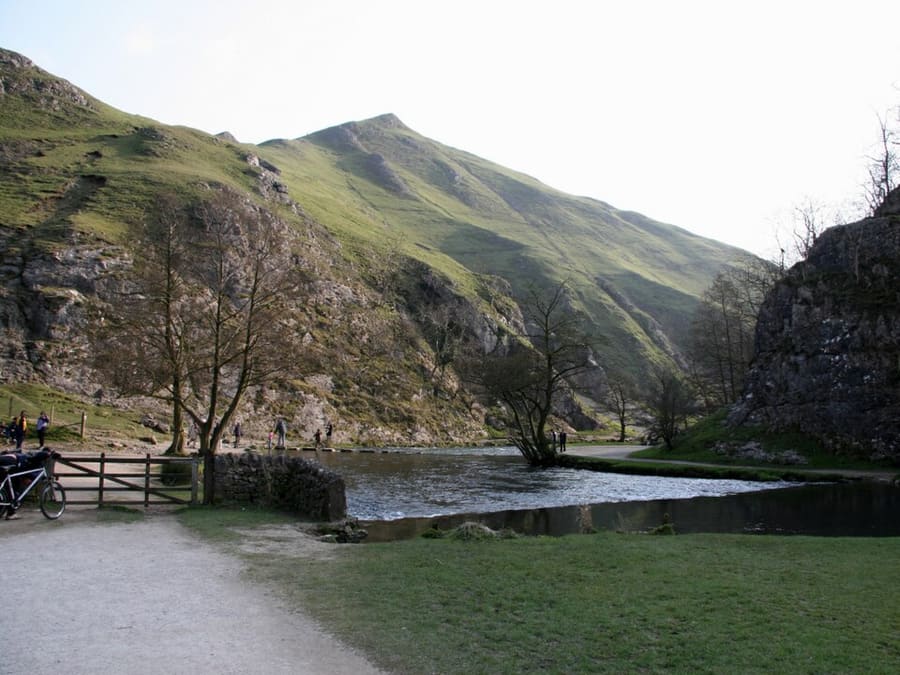
Dovedale
Gut drei Meilen langes Tal des River Dove im Besitz des National Trust, mit Trittsteinen in der bewaldeten Schlucht.
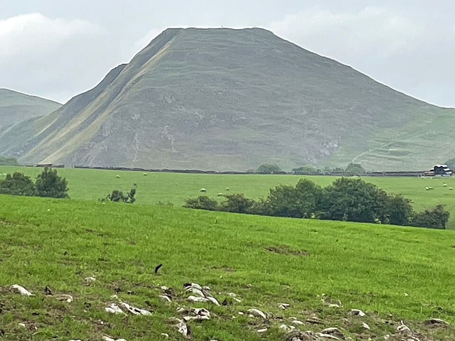
Thorpe Cloud
Frei stehender Kalksteinhügel am südlichen Ende von Dovedale mit Aussichtspunkt nach Norden ins Tal.
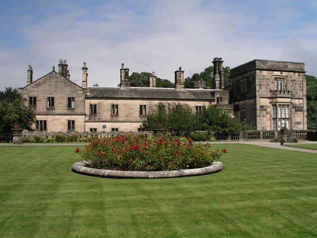
Ilam Park
158 Acres großer Park des National Trust an beiden Ufern des River Manifold, fünf miles nordwestlich von Ashbourne.
The Peak District
More areas to explore
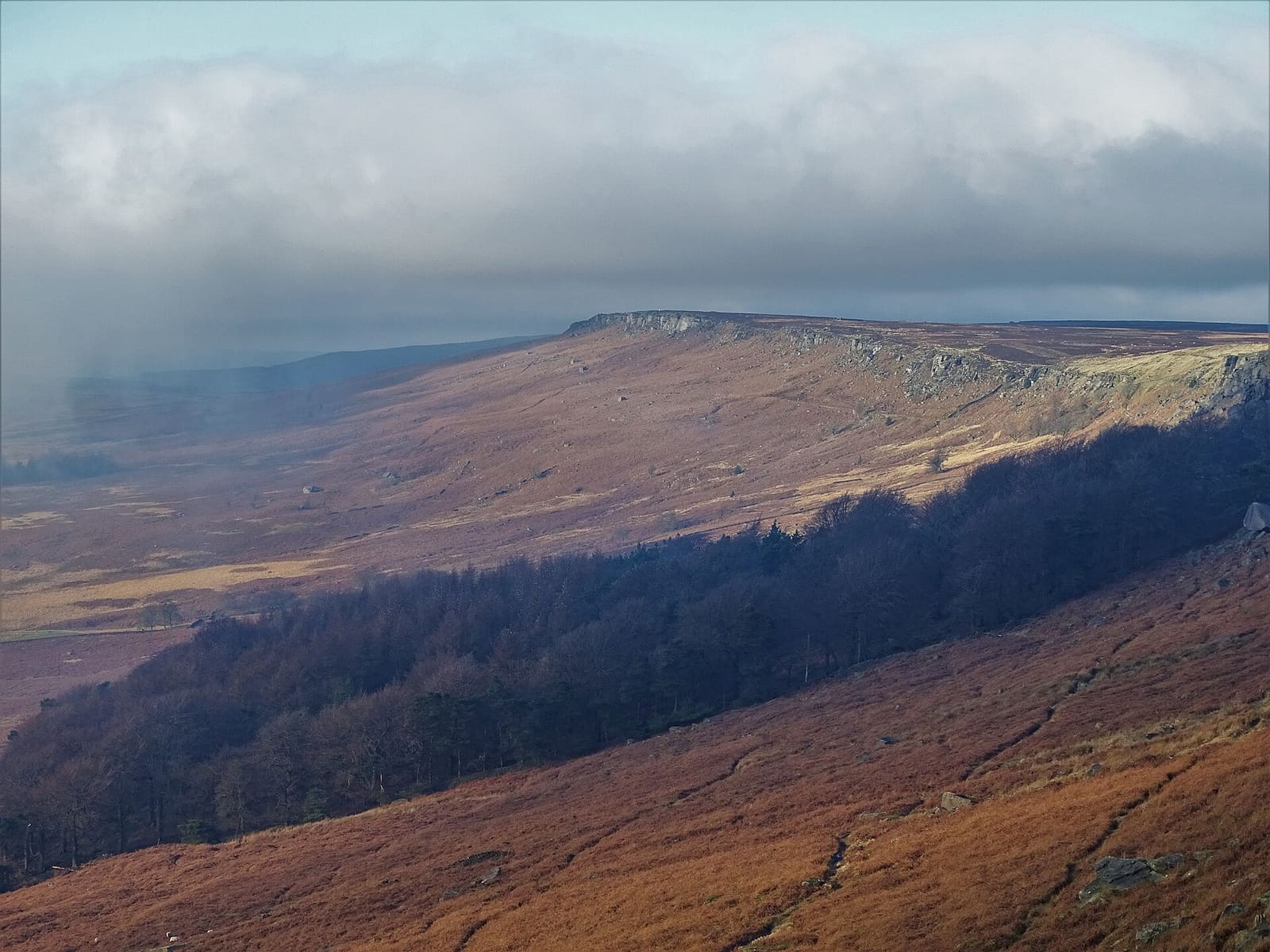
Hathersage, Longshaw & Eyam
Gritstone-Kanten, Padley Gorge und das Pestdorf Eyam auf der Ostseite des Peak
Mini-Guide öffnen →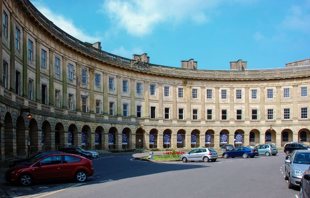
Buxton & the Northern Peak
Eine georgianische Kurstadt mit Opernhaus, einer Schauhöhle und dem Goyt Valley vor der Haustür
Mini-Guide öffnen →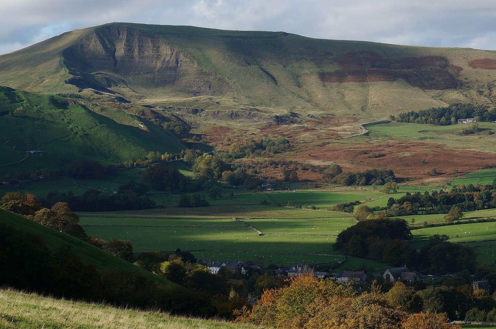
Castleton, Hope Valley & Edale
Schauhöhlen, eine normannische Burg und der Beginn des Pennine Way unterhalb von Kinder Scout
Mini-Guide öffnen →Fotonachweise
- St Oswald's Church: Martyn Glover, CC BY-SA 2.0, source
- Dovedale, Ashbourne & the White Peak South (area photo): Paul Albertella from Manchester, UK, CC BY 2.0, source
- Dovedale: Paul Albertella from Manchester, UK, CC BY 2.0, source
- Thorpe Cloud: Medenmaun, CC BY-SA 4.0, source
- Ilam Park: Andy Potter, CC BY-SA 2.0, source
- Hathersage, Longshaw & Eyam: Neil Theasby, CC BY-SA 2.0, source
- Buxton & the Northern Peak: Eugene Birchall, CC BY-SA 2.0, source
- Castleton, Hope Valley & Edale: Peter Barr, CC BY-SA 2.0, source
- Bakewell, Haddon & Monsal: Kmtextor, CC BY-SA 4.0, source
- Matlock Bath, Matlock & the Derwent Valley: Janine Forbes., CC BY-SA 2.0, source
Photos from Wikimedia Commons, used under the licences shown. All photo credits
Weiter entdecken: Peak District