 English (UK)
 English (US)
 Français
 Deutsch
 Español
 Italiano
 Nederlands
 简体中文
迷你指南:
Dovedale, Ashbourne & the White Peak South:前往方式
前往Dovedale, Ashbourne & the White Peak South的站点、车站与交通方式
站点与车站
前往 Dovedale, Ashbourne & the White Peak South
请选择离目的地最近的站点。
| 站点或车站 | 服务 | 适合 |
|---|---|---|
| High Peak 442 | High Peak 公交 | Visit Peak District将442路列为Ashbourne与Buxton之间的常规班次;请向运营商确认时刻 |
| Derby station | East Midlands Railway及其他 | Visit Peak District将Derby列为该地区的车站之一,并表示从London St Pancras International出发的列车不到2小时;Ashbourne没有火车站 |
| Traveline与Travel Derbyshire | 路线规划工具 | Visit Peak District建议通过Travel Derbyshire查询Peak District、Derbyshire和Derby的时刻表,并通过Traveline规划行程 |
| Tissington Trail | 步行与骑行 | 13英里长的废弃铁路步道从Ashbourne通往Parsley Hay;Ashbourne的The Bike Barn提供沿线自行车租赁 |
Walking from nearby areas
- Matlock Bath, Matlock & the Derwent Valley: 16.0 km from Dovedale, Ashbourne & the White Peak South, better by public transport
- Bakewell, Haddon & Monsal: 20.6 km from Dovedale, Ashbourne & the White Peak South, better by public transport
- Buxton & the Northern Peak: 27.2 km from Dovedale, Ashbourne & the White Peak South, better by public transport
- Hathersage, Longshaw & Eyam: 30.2 km from Dovedale, Ashbourne & the White Peak South, better by public transport
前往 峰区
官方出行信息
峰区位于北面的曼彻斯特和谢菲尔德与南面的德比之间。Visit Peak District 建议尽量乘坐公共交通,多条铁路和巴士线路可抵达公园。下列行程时间取自其网页和 Northern 网页的说明;请务必向运营商确认最新时刻。
- Visit Peak District: getting here →——Visit Peak District & Derbyshire,当地旅游机构
- Northern: the Peak District →——Hope Valley、Buxton 和 Glossop 线路
- Peak District National Park Authority →——公园官方网站;该网站会拦截自动请求,因此本指南未读取其内容
- Travel Derbyshire →——峰区、德比郡和德比的时刻表
- National Rail →——列车时刻与车票
- Traveline →——巴士与长途汽车行程规划
班次时间、票价和运营中断情况可能变动:请通过上方运营方页面查看实时信息。
在此规划行程
输入起点,Google Maps 将显示前往Dovedale, Ashbourne & the White Peak South的路线。已默认选择公共交通,可在地图上更改。实时中断信息请查看运营方网站。
While you are here
Things to see in Dovedale, Ashbourne & the White Peak South
A few of the sights in the area. The Things to do page lists them all, with directions and official links.
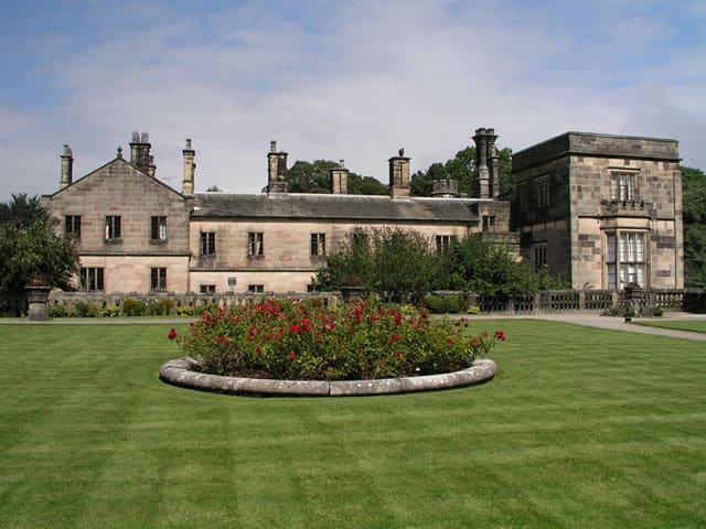
峰区
More areas to explore
图片来源
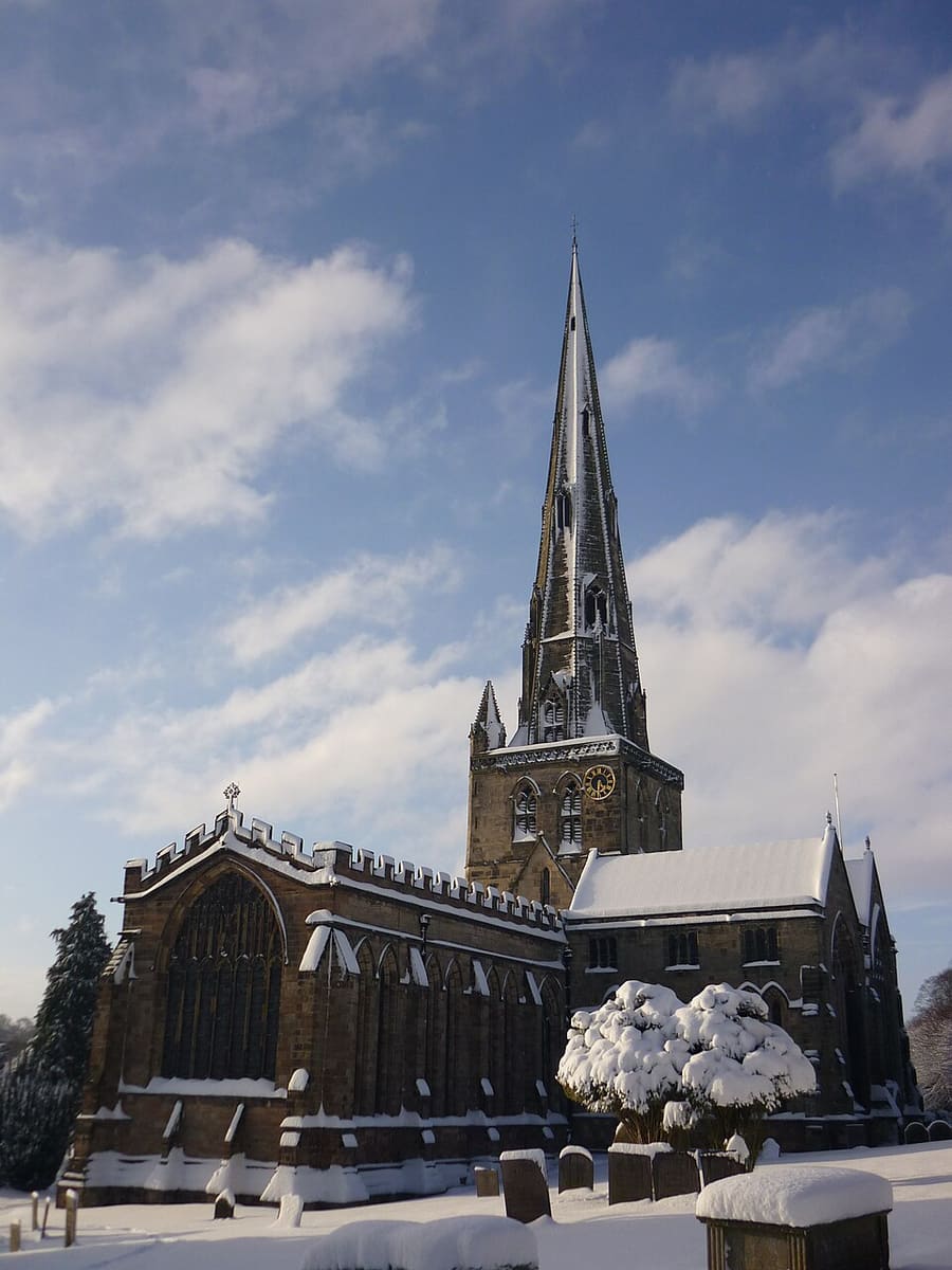
- St Oswald's Church: Martyn Glover, CC BY-SA 2.0, source
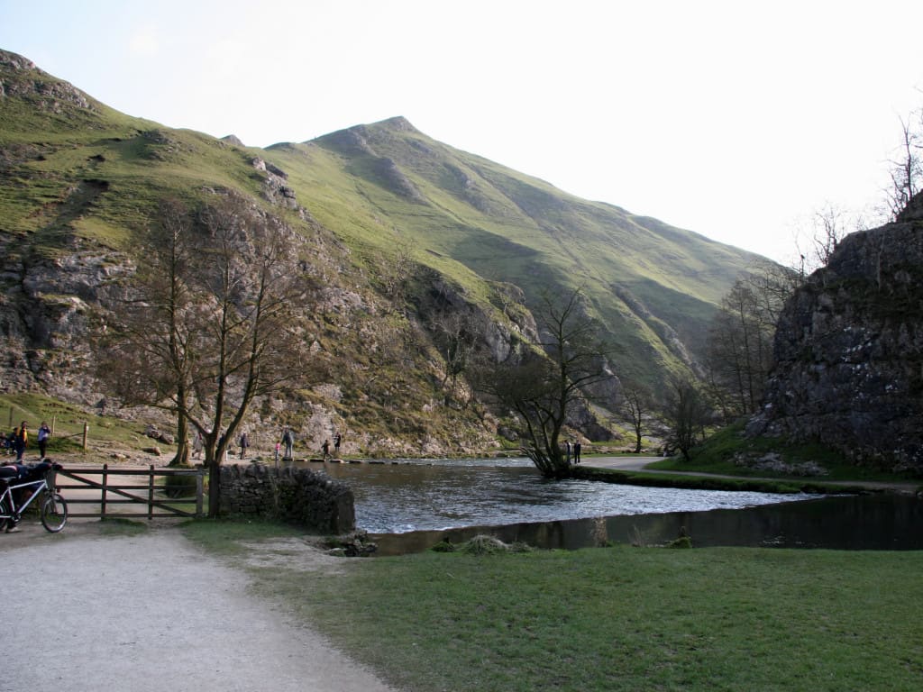
- Dovedale, Ashbourne & the White Peak South (area photo): Paul Albertella from Manchester, UK, CC BY 2.0, source
- Dovedale: Paul Albertella from Manchester, UK, CC BY 2.0, source
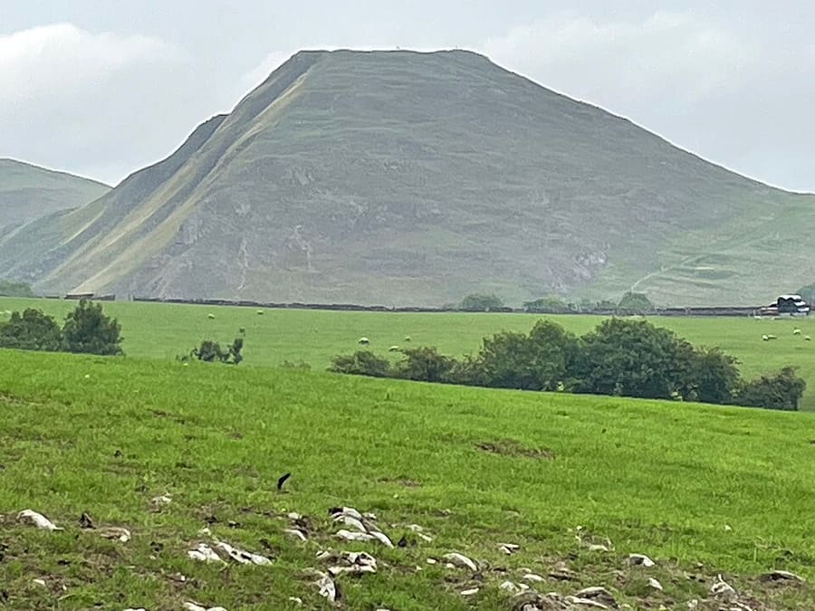
- Thorpe Cloud: Medenmaun, CC BY-SA 4.0, source
- Ilam Park: Andy Potter, CC BY-SA 2.0, source
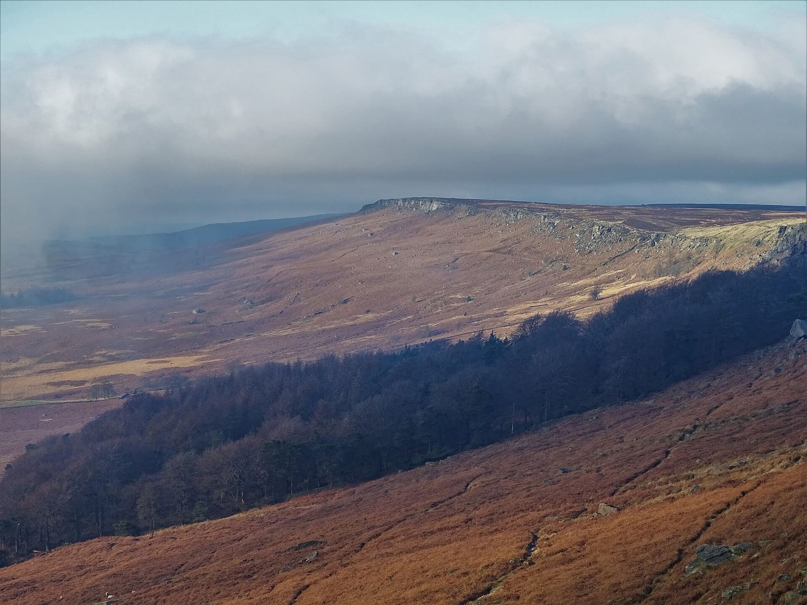
- Hathersage, Longshaw & Eyam: Neil Theasby, CC BY-SA 2.0, source
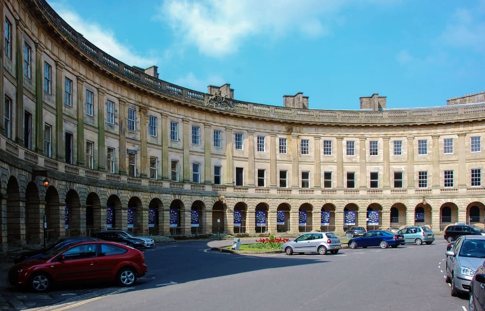
- Buxton & the Northern Peak: Eugene Birchall, CC BY-SA 2.0, source
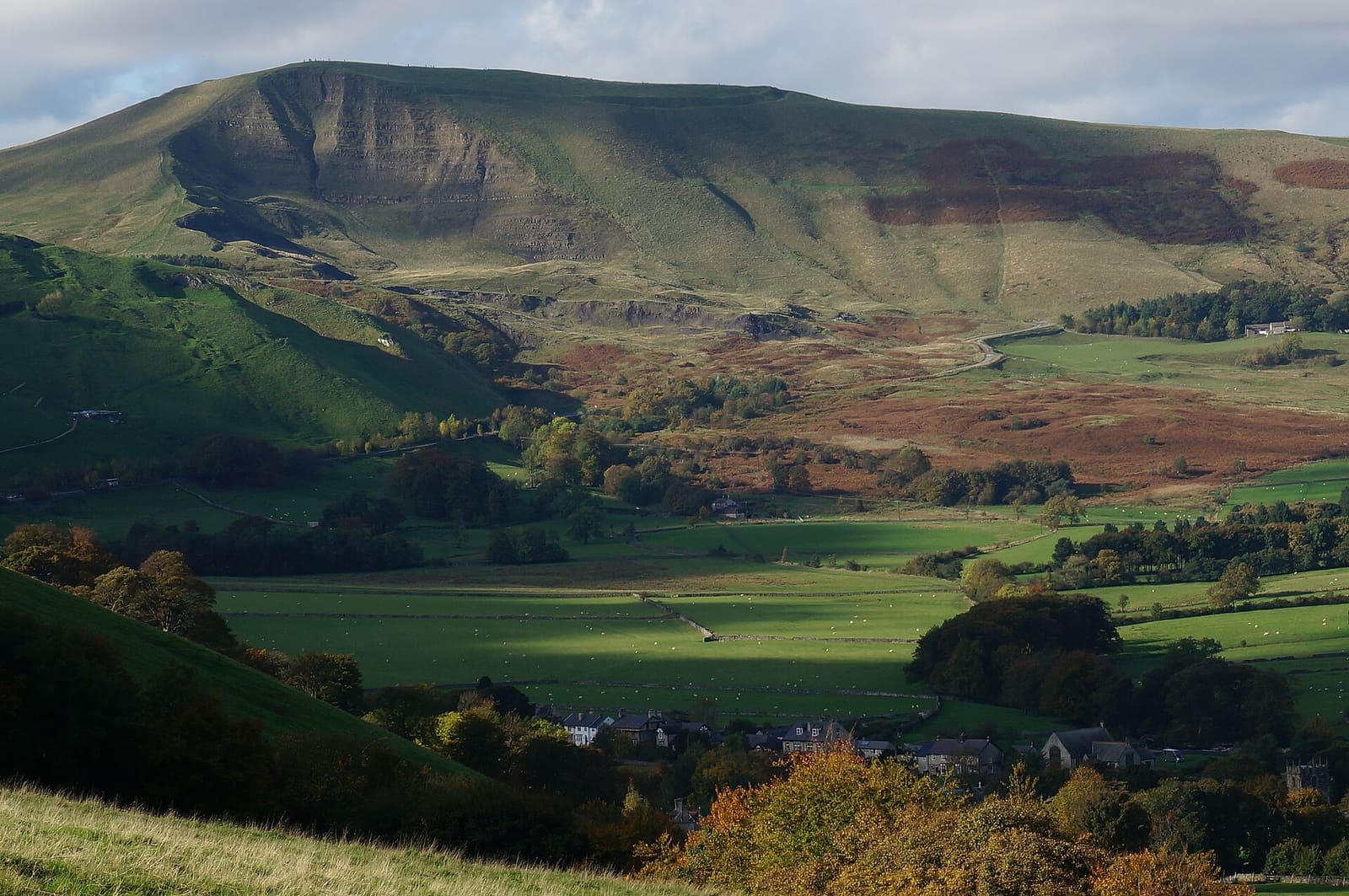
- Castleton, Hope Valley & Edale: Peter Barr, CC BY-SA 2.0, source
- Bakewell, Haddon & Monsal: Kmtextor, CC BY-SA 4.0, source
- Matlock Bath, Matlock & the Derwent Valley: Janine Forbes., CC BY-SA 2.0, source
Photos from Wikimedia Commons, used under the licences shown. All photo credits