 English (UK)
 English (US)
 Français
 Deutsch
 Español
 Italiano
 Nederlands
 简体中文
迷你指南:
Dovedale, Ashbourne & the White Peak South
River Dove的踏脚石、铁路旧线步道和集镇Ashbourne
照片
 1 / 7
欢迎来到这个街区
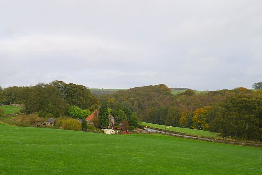
River Dove的踏脚石、铁路旧线步道和集镇Ashbourne
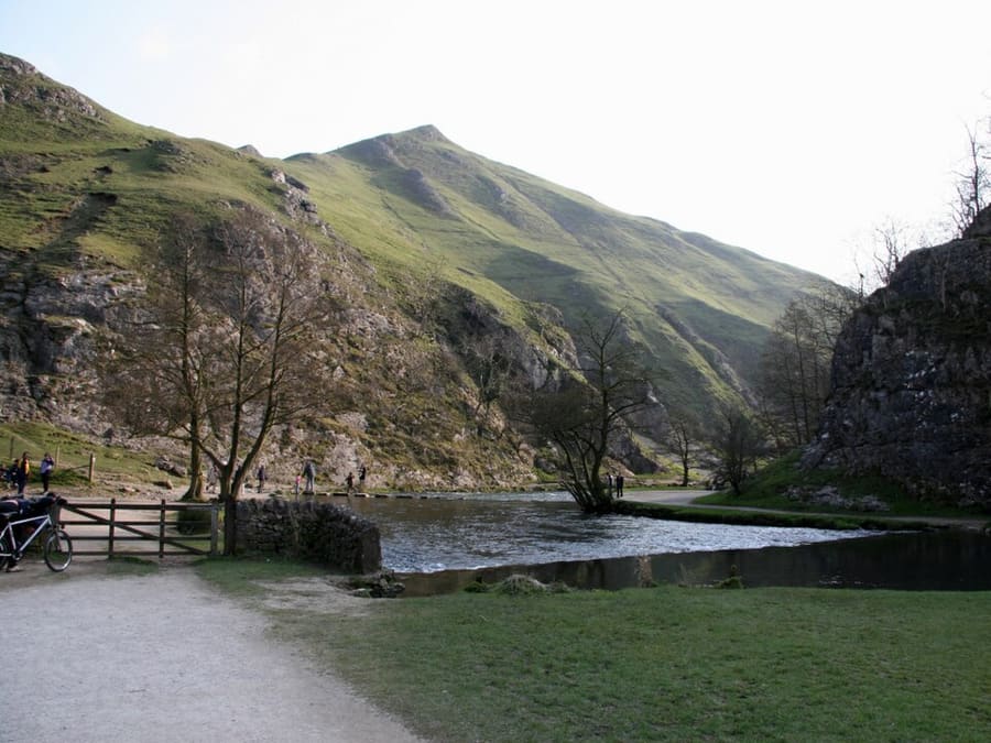
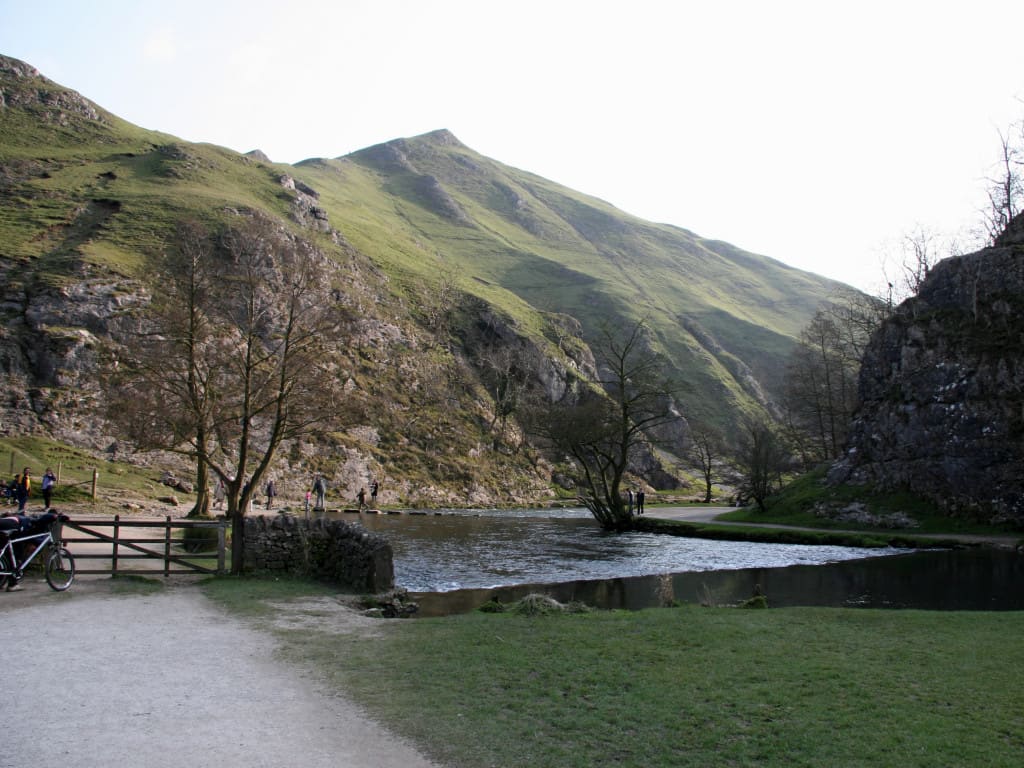
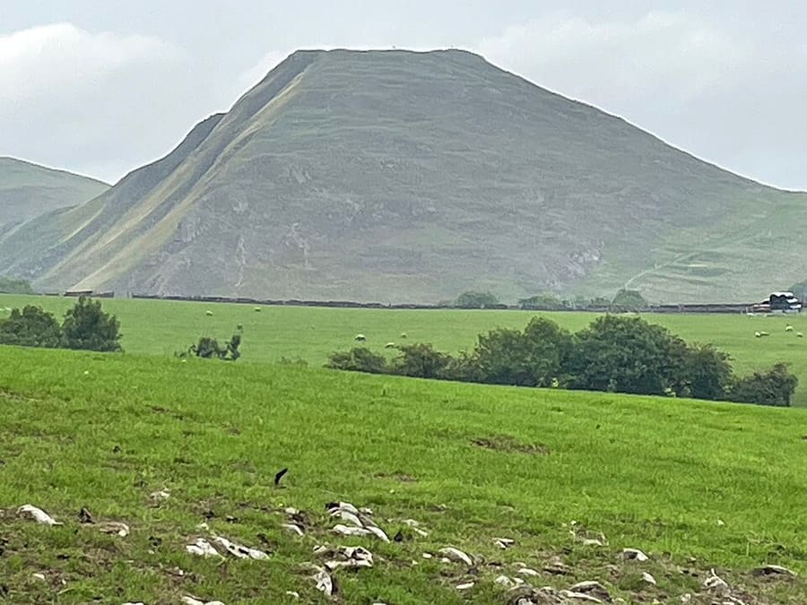
Ashbourne是Derbyshire Dales的一座集镇,位于Derby西北方向14 miles处,是前往White Peak南部的常用门户。Dovedale是一条由River Dove切割而成、长度略超过三 miles的山谷,归National Trust所有,其南端位于石灰岩山丘Thorpe Cloud脚下,设有踏脚石。这条河是郡界,因此对岸属于Staffordshire。
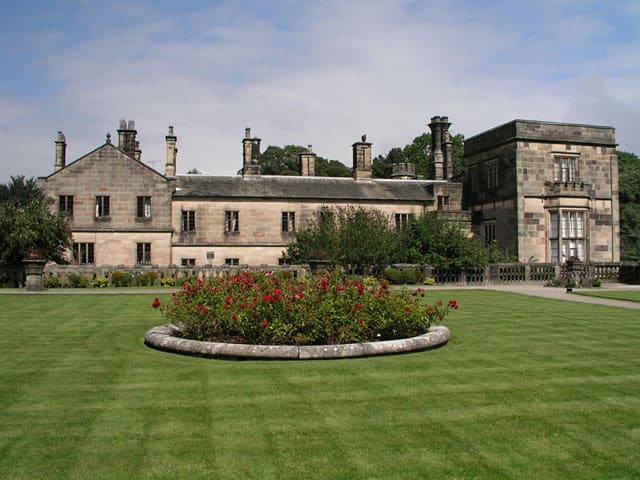
Ilam Park是占地158英亩的National Trust乡村公园,位于Staffordshire的River Manifold畔。Manifold Valley有一条由旧轻轨铁路改建、长8miles的共用步道,上方是Thor's Cave。Tissington Trail沿着旧Ashbourne至Buxton铁路延伸13miles,Hartington、Alstonefield和Tissington则是适合步行或骑行探访的村庄。
亮点
从这里开始
如果只有几个小时,不妨从这些地方开始。
步道
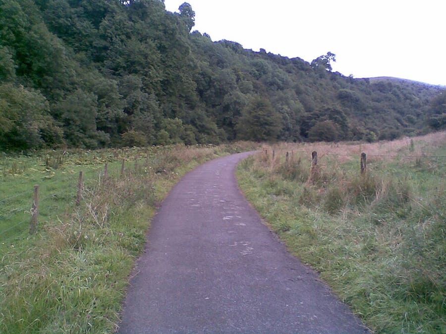
Manifold Way
八英里长的共享步道,从 Hulme End 通往 Waterhouses,沿用旧 Leek and Manifold Valley Light Railway 路基。
内行贴士
出发前须知
1
Dovedale 游客众多
Dovedale的National Trust土地每年吸引约一百万名游客,因此请尽早前往踏脚石和Thorpe Cloud脚下的步道。
2
跨越一条郡界
River Dove是Derbyshire与Staffordshire的分界线,因此Ilam Park和Manifold Valley属于Staffordshire,尽管邮政地址城镇是Ashbourne。
3
沿旧铁路步行或骑行
Tissington Trail沿原Ashbourne至Buxton铁路线而行,Manifold Way则沿原Leek and Manifold Valley Light Railway而行。
4
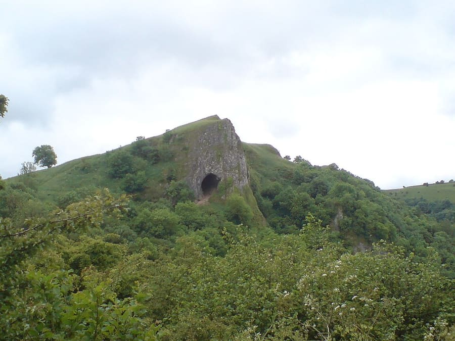
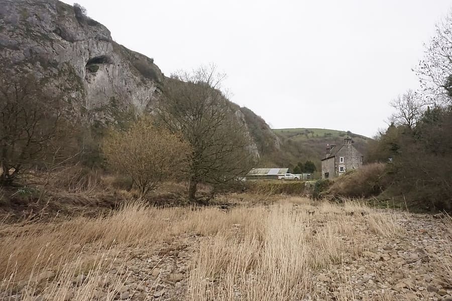
Thor's Cave
从Manifold Way或Wetton出发,沿一条好走的台阶小路即可到达,洞穴是一座约10米高的对称拱门。
Britlens 编辑贴士
浏览本指南
Dovedale, Ashbourne & the White Peak South全部内容
峰区
More areas to explore
图片来源
- Dovedale, Ashbourne & the White Peak South (area photo): Paul Albertella from Manchester, UK, CC BY 2.0, source
- Dovedale: Paul Albertella from Manchester, UK, CC BY 2.0, source
- Thorpe Cloud: Medenmaun, CC BY-SA 4.0, source
- Ilam Park: Andy Potter, CC BY-SA 2.0, source
- Manifold Way: No machine-readable author provided. Hogyn Lleol assumed (based on copyright claims)., Public domain, source
- Thor's Cave: Martin Spamer, CC BY-SA 3.0, source
- Beeston Tor: Bill Boaden, CC BY-SA 2.0, source
- Tissington Trail: Tim Heaton, CC BY-SA 2.0, source
- Tissington: Simon Burchell, CC BY-SA 4.0, source
- Tissington Hall: Joe Empson, CC BY 2.0, source
- Hartington: David, CC BY 2.0, source
- Alstonefield: Row17, CC BY-SA 2.0, source
- Ashbourne: David Hallam-Jones, CC BY-SA 2.0, source
- St Oswald's Church: Martyn Glover, CC BY-SA 2.0, source
- Hathersage, Longshaw & Eyam: Neil Theasby, CC BY-SA 2.0, source
- Buxton & the Northern Peak: Eugene Birchall, CC BY-SA 2.0, source
- Castleton, Hope Valley & Edale: Peter Barr, CC BY-SA 2.0, source
- Bakewell, Haddon & Monsal: Kmtextor, CC BY-SA 4.0, source
- Matlock Bath, Matlock & the Derwent Valley: Janine Forbes., CC BY-SA 2.0, source
Photos from Wikimedia Commons, used under the licences shown. All photo credits