 English (UK)
 English (US)
 Français
 Deutsch
 Español
 Italiano
 Nederlands
 简体中文
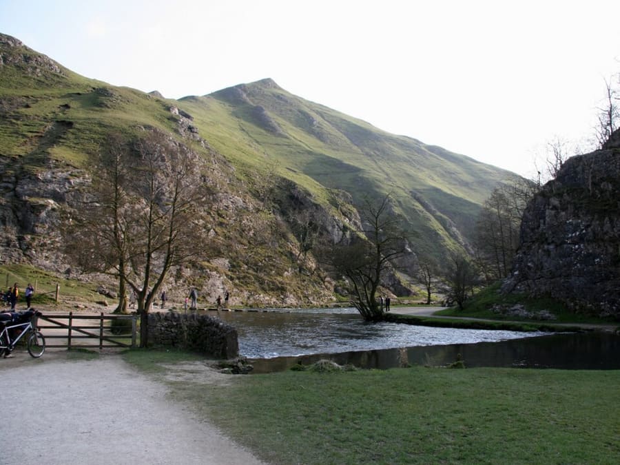
Valley
Dovedale
Valley of just over three miles cut by the River Dove, owned by the National Trust, with stepping stones in the wooded ravine.
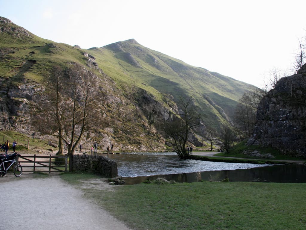
A mini guide to
The River Dove's stepping stones, rail trails and the market town of Ashbourne
 1 / 7
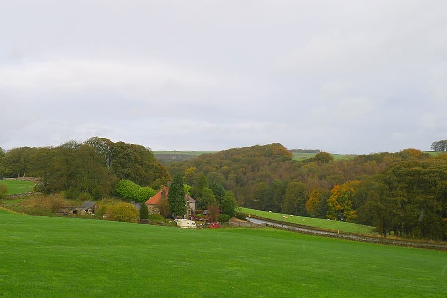
Welcome to the area
Ashbourne is a market town in the Derbyshire Dales, 14 miles north-west of Derby, and the usual gateway to the southern White Peak. Dovedale, a valley of just over three miles cut by the River Dove, is owned by the National Trust and has stepping stones at its southern end below Thorpe Cloud, a limestone hill. The river is the county boundary, so the far bank is in Staffordshire.
Ilam Park, a 158-acre National Trust country park, lies in Staffordshire on the River Manifold. The Manifold Valley has an eight-mile shared-use path on a former light railway and Thor's Cave above it. The Tissington Trail follows the old Ashbourne to Buxton railway for 13 miles, and Hartington, Alstonefield and Tissington are villages to explore on foot or by bike.
Highlights
If you only have a few hours, these are good places to begin.
Valley of just over three miles cut by the River Dove, owned by the National Trust, with stepping stones in the wooded ravine.
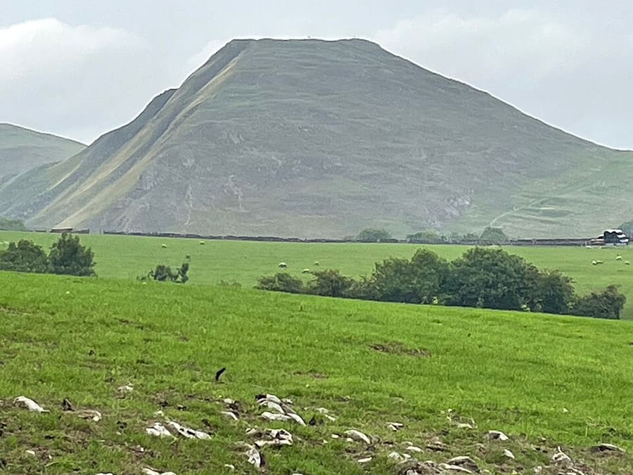
Isolated limestone hill at the southern end of Dovedale, with a viewpoint north up the dale.
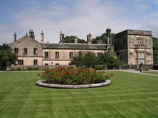
158-acre National Trust park on both banks of the River Manifold, five miles north-west of Ashbourne.
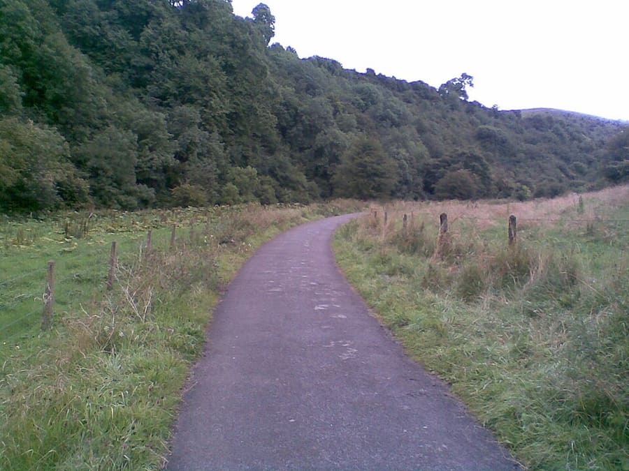
Eight-mile shared-use path from Hulme End to Waterhouses on the old Leek and Manifold Valley Light Railway.
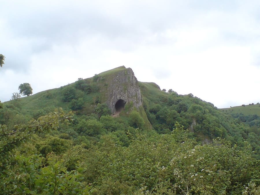
Natural cavern in a limestone crag above the Manifold Valley, reached by a stepped path.
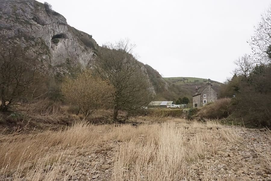
Limestone cliff above the meeting of the Hamps and Manifold, with caves of archaeological importance.
Find your way
The map shows Dovedale, Ashbourne & the White Peak South and the streets around it. The Getting there page lists nearby stops and stations.
Insider tips
The National Trust land in Dovedale attracts about a million visitors a year, so arrive early for the stepping stones and the walk beneath Thorpe Cloud.
The River Dove forms the Derbyshire and Staffordshire boundary, so Ilam Park and the Manifold Valley are in Staffordshire even though Ashbourne is the post town.
The Tissington Trail follows the former Ashbourne to Buxton line, and the Manifold Way follows the old Leek and Manifold Valley Light Railway.
Reached by an easy stepped path from the Manifold Way or from Wetton, the cave is a symmetrical arch about 33 feet (10 meters) high.
Tips from the Britlens editors
Explore this guide
The Peak District
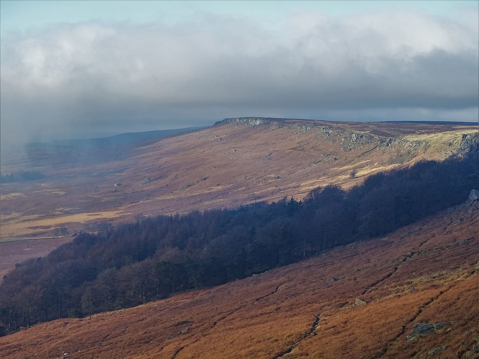
Gritstone edges, Padley Gorge and the Eyam plague village on the eastern side of the Peak
Open the mini guide →
A Georgian spa town with an opera house, a show cave and the Goyt Valley on its doorstep
Open the mini guide →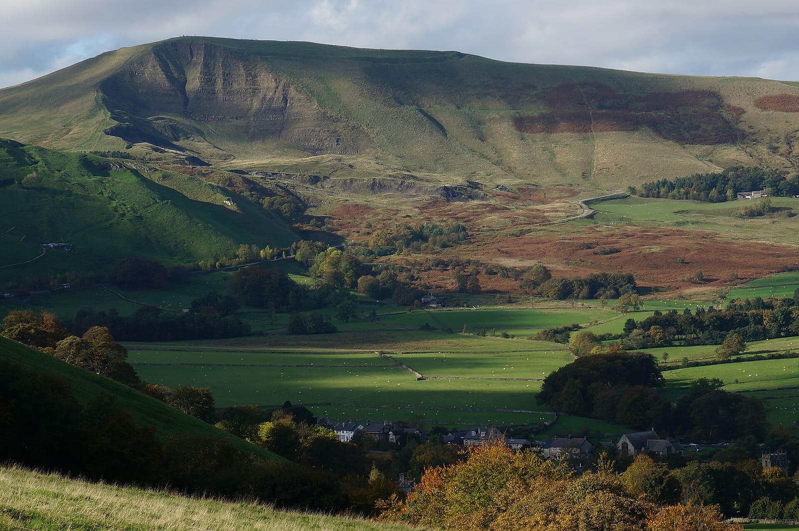
Show caves, a Norman castle and the start of the Pennine Way below Kinder Scout
Open the mini guide →Photos from Wikimedia Commons, used under the licences shown. All photo credits
Keep exploring the Peak District