 English (UK)
 English (US)
 Français
 Deutsch
 Español
 Italiano
 Nederlands
 简体中文
Self-guided
Self-guided walks
13 London routes from station to station, and 28 trails in 12 regions from the coast path to the fells. Every walk has a map and a GPX file.
Grades: where an official page gives one we use it; otherwise our rule (easy up to 5 miles (8 km) and 150 m ascent, hard over 9.9 miles (16 km) or 600 m ascent) applies, shown on each walk page. Lengths come from the official page or are measured from OpenStreetMap geometry.
London, station to station
-
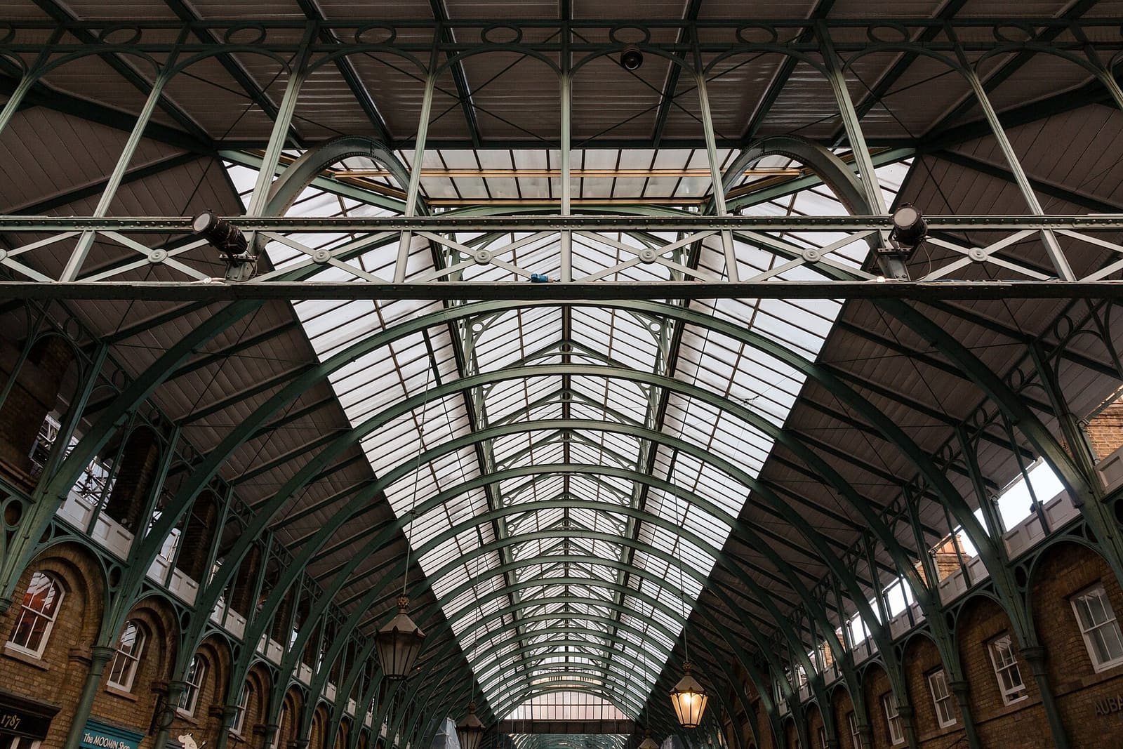
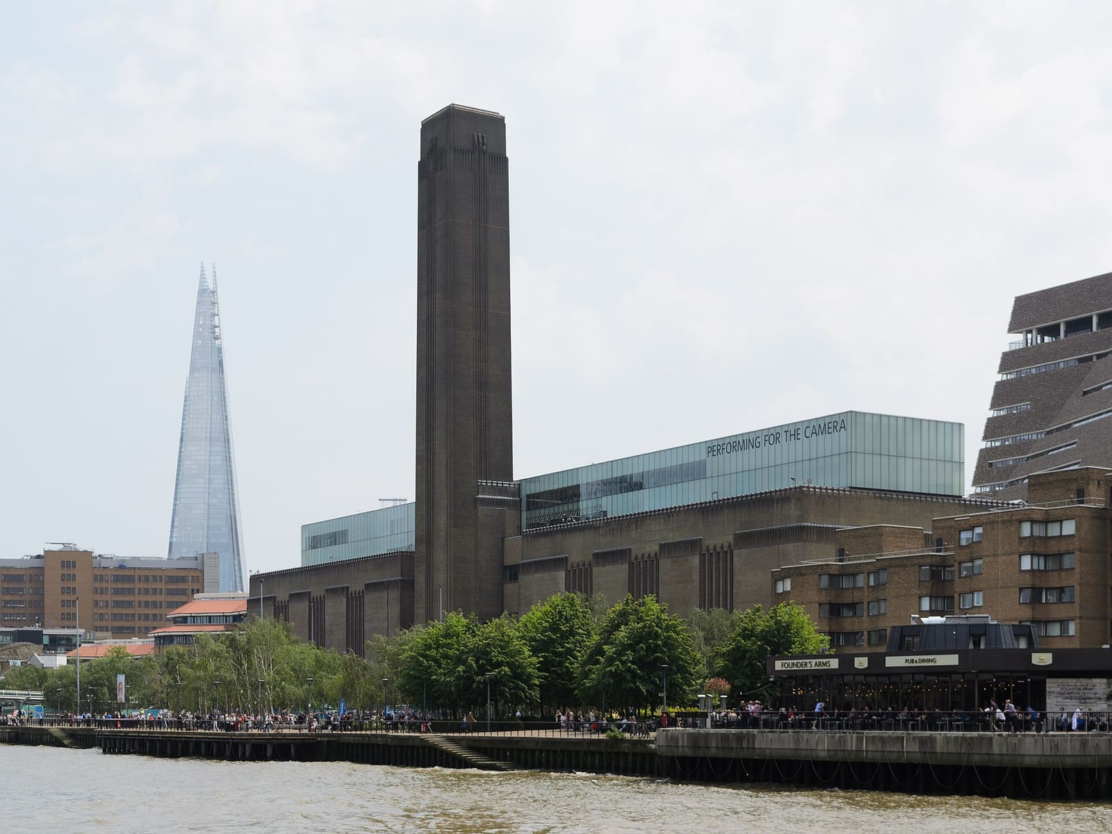
Soho & Covent Garden
Soho and Covent Garden
Squares, markets and side streets between Tottenham Court Road and the Piazza.
- 3.6 km · 2.2 miles
- 45 min walking
- Flat
- Step-free: check route
Best in All year
-
South Bank
Thames Path: Westminster to Tower Bridge
Parliament, the London Eye and the whole South Bank, ending at Tower Bridge.
- 6.5 km · 4.0 miles
- 1 h 25 min walking
- Flat
- Step-free: check route
Best in SpringSummerFall
-
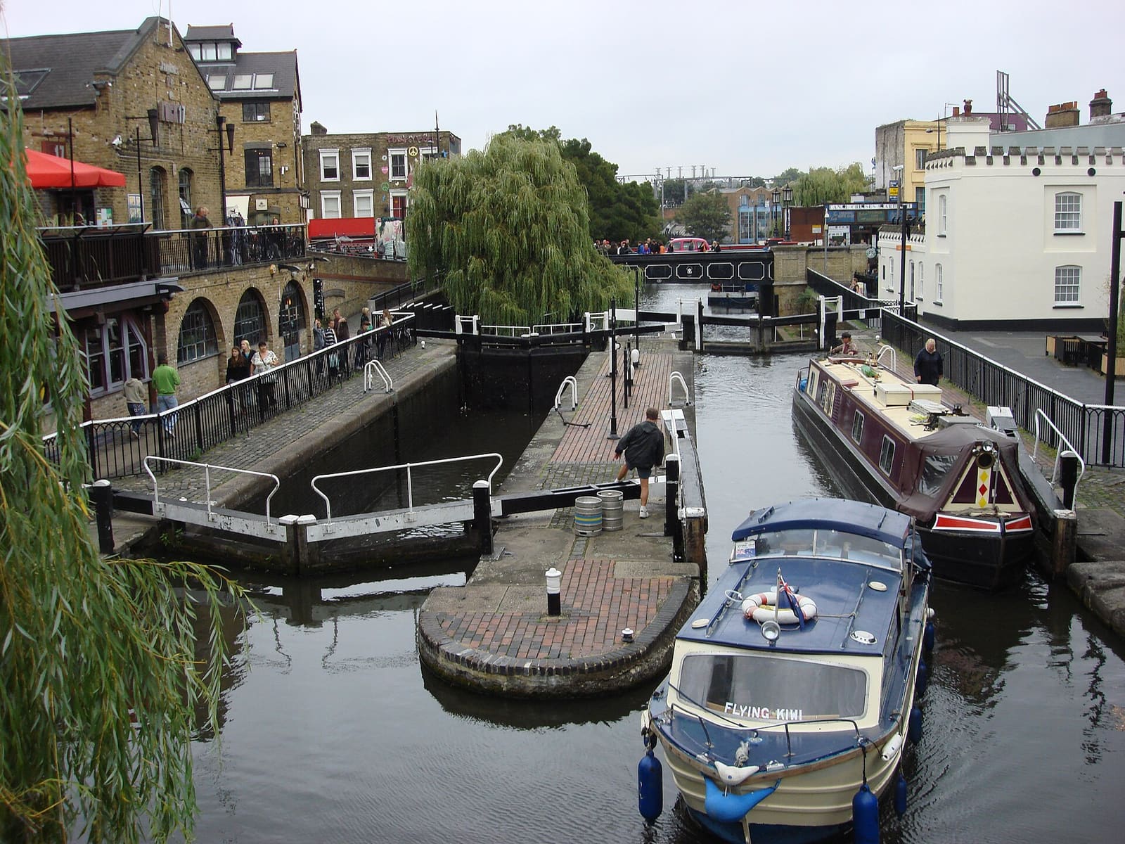
Camden & Primrose Hill
Camden, Primrose Hill and Little Venice
Camden Lock, a hilltop view and the Regent's Canal towpath to Little Venice.
- 6.8 km · 4.3 miles
- 1 h 30 min walking
- Some hills
- Step-free: check route
Best in SpringSummerFall
-
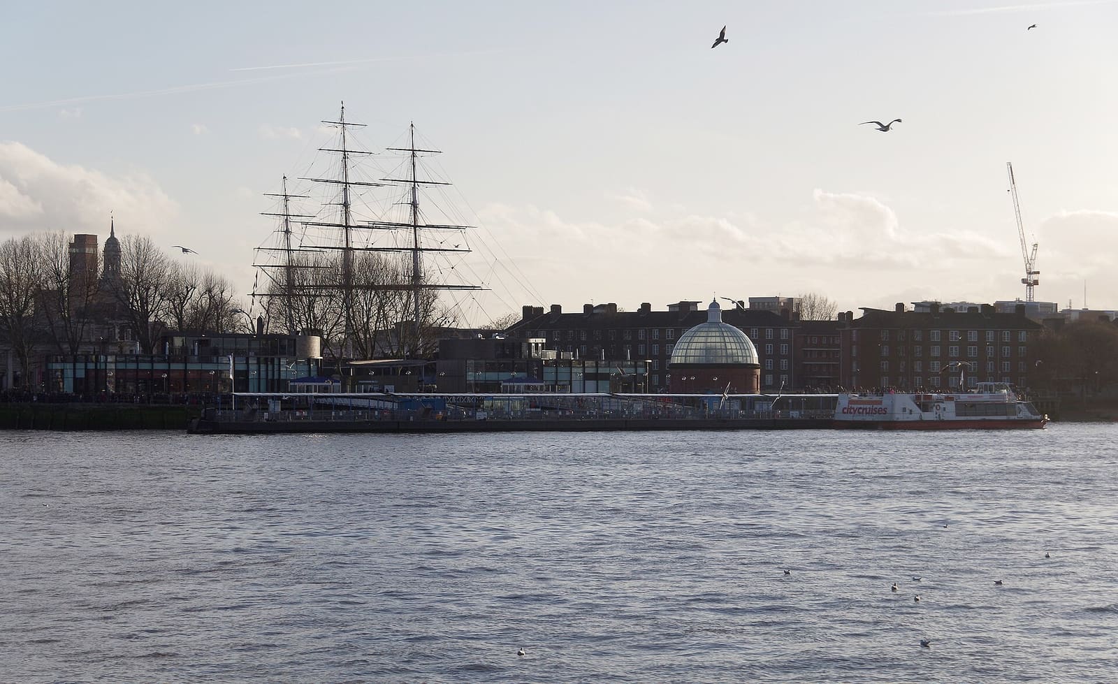
Greenwich
Greenwich: Park, Observatory and Riverside
Cutty Sark, the Old Royal Naval College, the Prime Meridian and the Thames Path.
- 3.9 km · 2.4 miles
- 50 min walking
- Some hills
- Step-free: check route
Best in SpringSummerFall
-
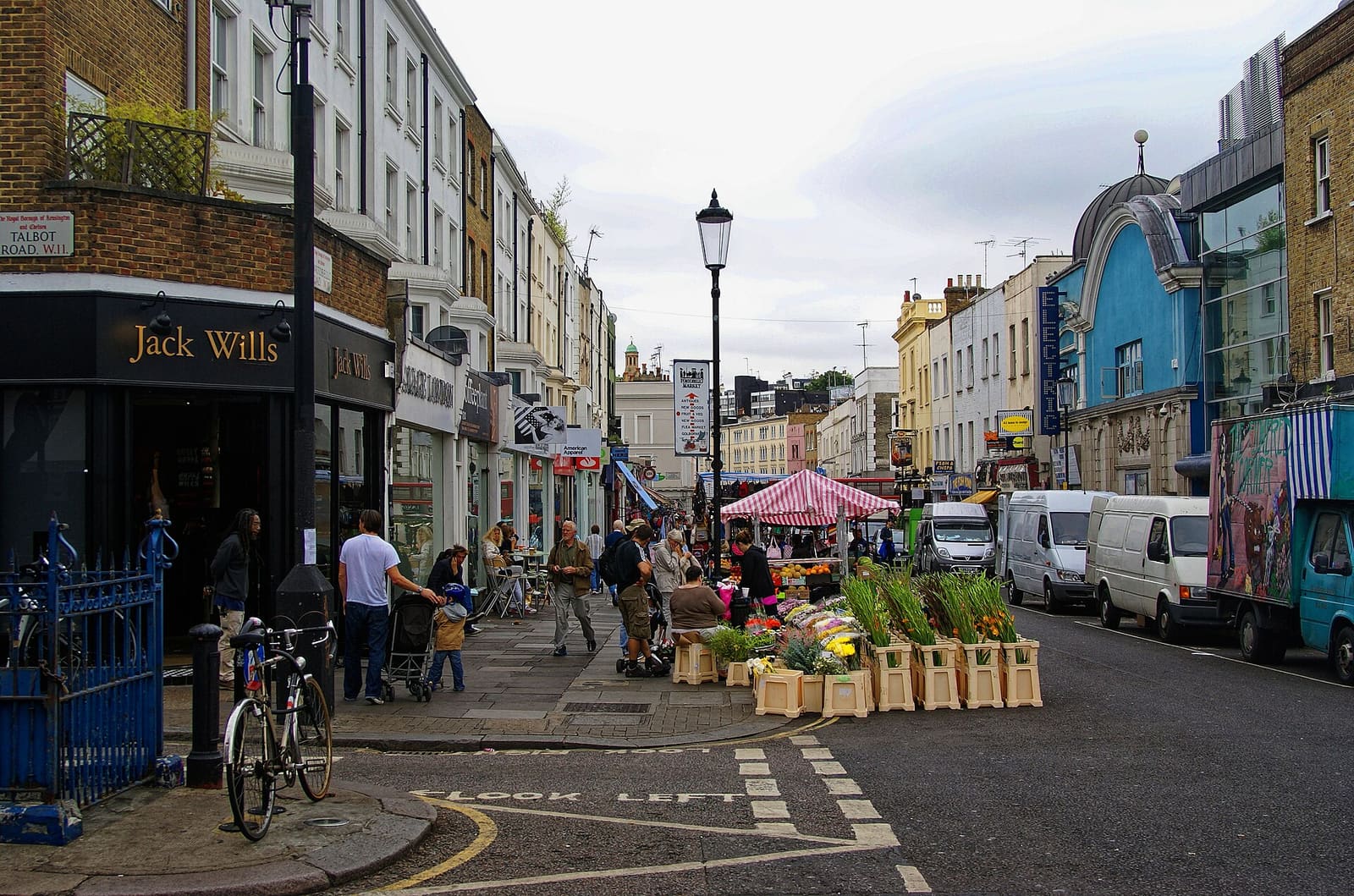
Notting Hill & Holland Park
Notting Hill, Portobello and Holland Park
A famous pub, the Portobello Road, a Japanese garden and a Victorian artist's house.
- 5.8 km · 3.6 miles
- 1 h 15 min walking
- Flat
- Step-free: check route
Best in SpringSummerFall
-
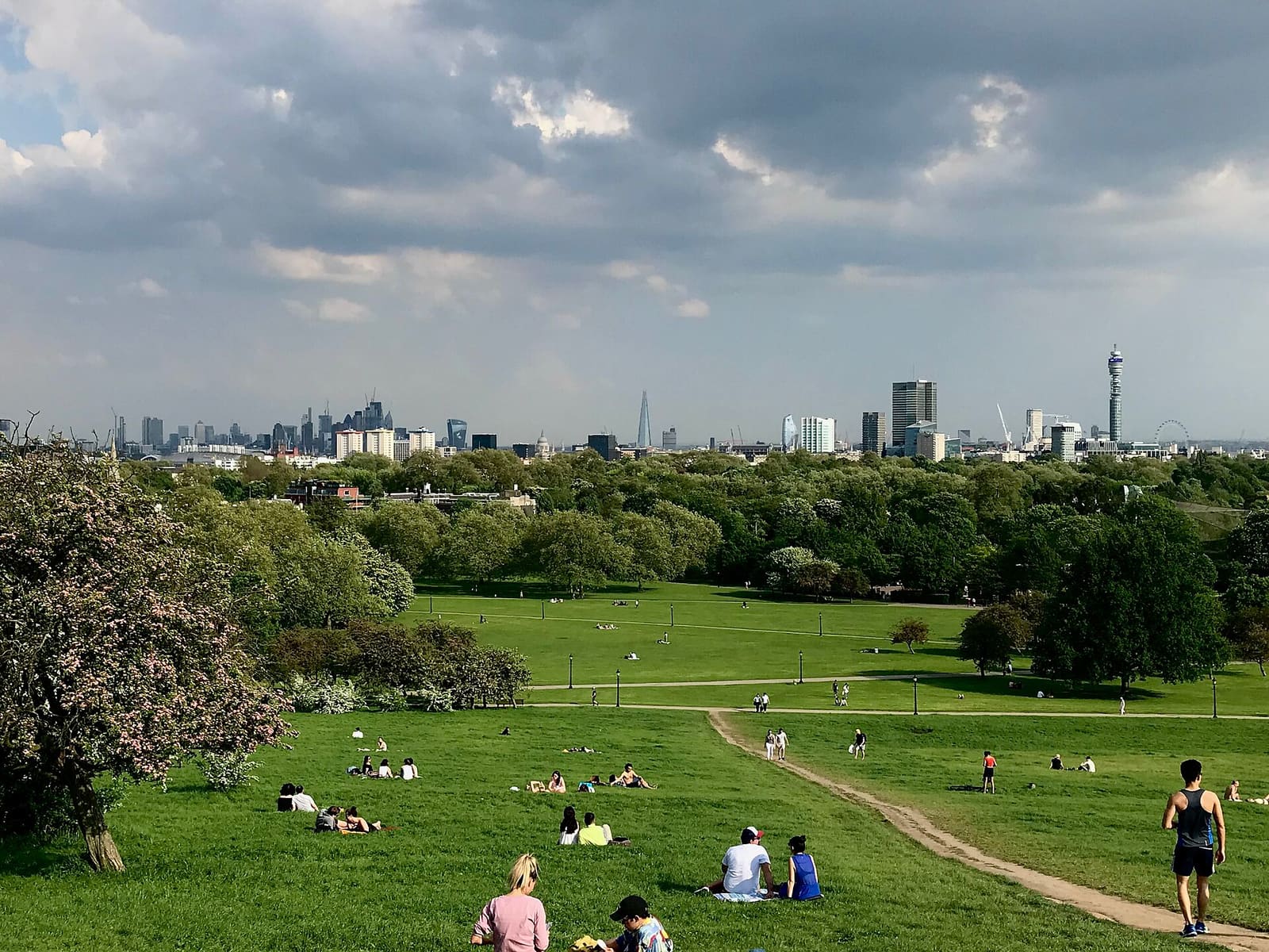
Hampstead & Primrose Hill
Hampstead Heath and Kenwood
Hampstead village, the high heath, Kenwood House and the view from Parliament Hill.
- 5.4 km · 3.4 miles
- 1 h 15 min walking
- Some hills
- Step-free: check route
Best in SpringSummerFall
-
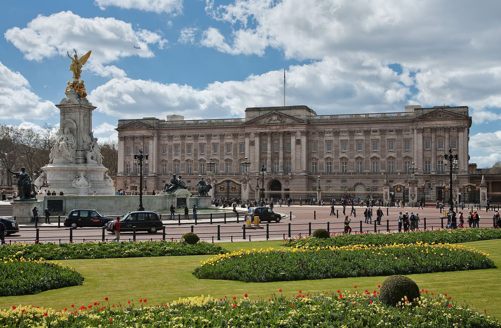
Westminster & Whitehall
Royal London: St James's to Whitehall
From Green Park to Buckingham Palace, Horse Guards and Westminster Abbey.
- 4.0 km · 2.5 miles
- 55 min walking
- Flat
- Step-free: check route
Best in SpringSummerFall
-
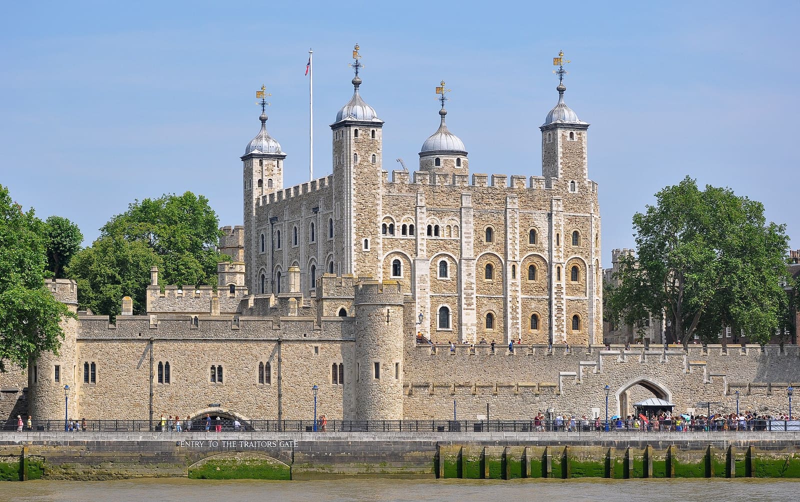
The City & Tower
The City and Roman London
Roman wall, amphitheater and temple in the Square Mile, ending at St Paul's.
- 3.4 km · 2.1 miles
- 45 min walking
- Flat
- Optional steps
- Step-free: check route
Best in All year
-
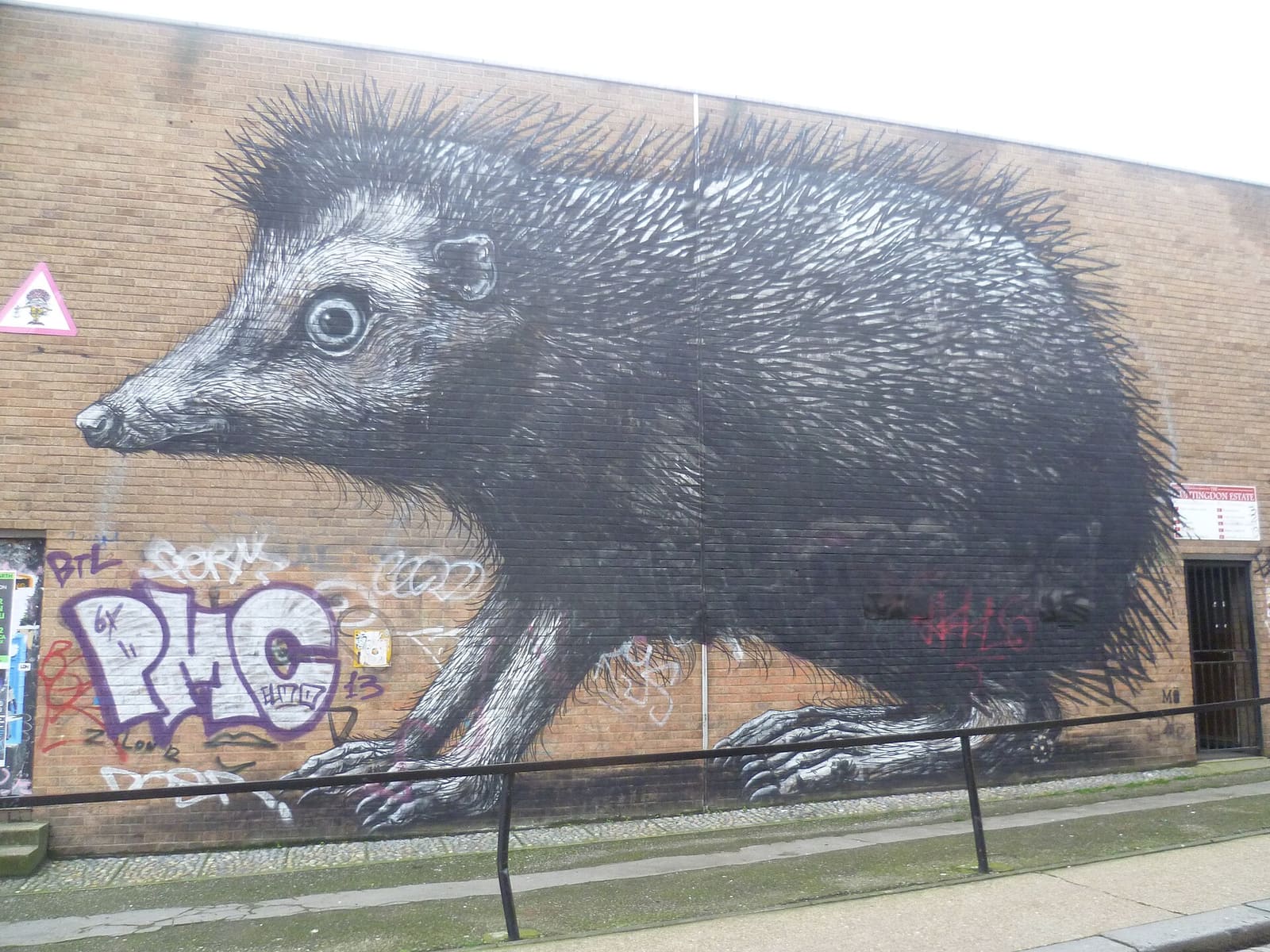
Shoreditch & Spitalfields
Shoreditch Street Art and Brick Lane
Murals, a flower market, Brick Lane bagels and Spitalfields.
- 4.6 km · 2.9 miles
- 1 h walking
- Flat
- Step-free: check route
Best in All year
-
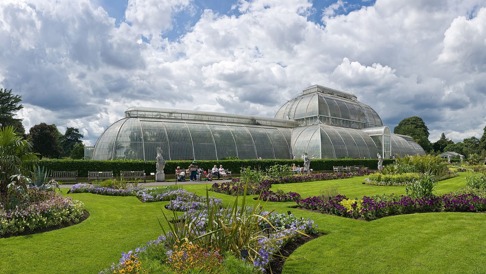
Kew & Richmond
Kew to Richmond along the Thames
Kew Green and Kew Bridge, then the riverside towpath through Old Deer Park to Richmond.
- 8.5 km · 5.3 miles
- 1 h 55 min walking
- Flat
- Step-free: check route
Best in SpringSummer
-
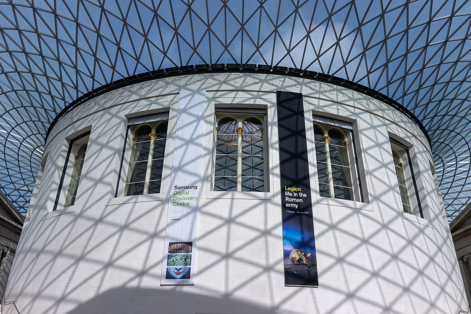
Bloomsbury & Fitzrovia
Bloomsbury Literary Walk
Dickens's house, garden squares and the British Museum.
- 3.9 km · 2.4 miles
- 50 min walking
- Flat
- Step-free: check route
Best in All year
-
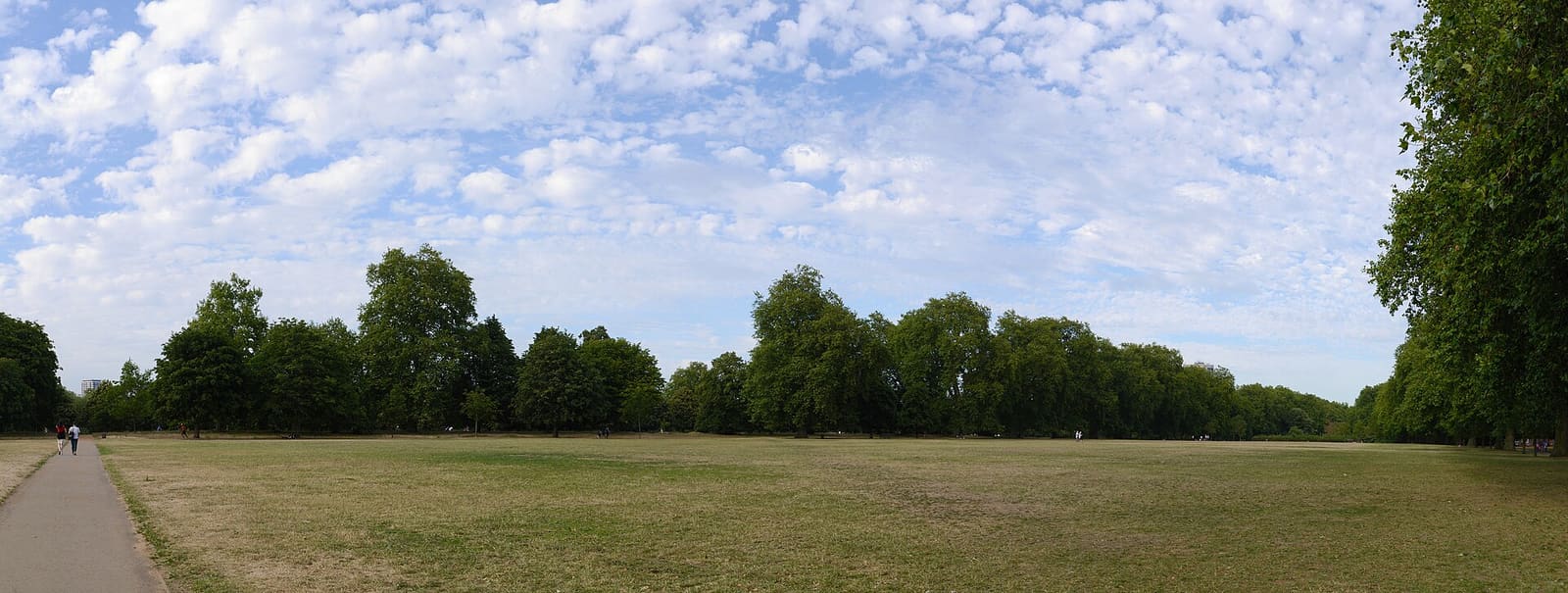
Hyde Park & Kensington Gardens
Hyde Park and Kensington Gardens
Speakers' Corner, the Serpentine, Kensington Palace and the Albert Memorial.
- 5.4 km · 3.4 miles
- 1 h 15 min walking
- Flat
- Step-free: check route
Best in SpringSummerFall
-
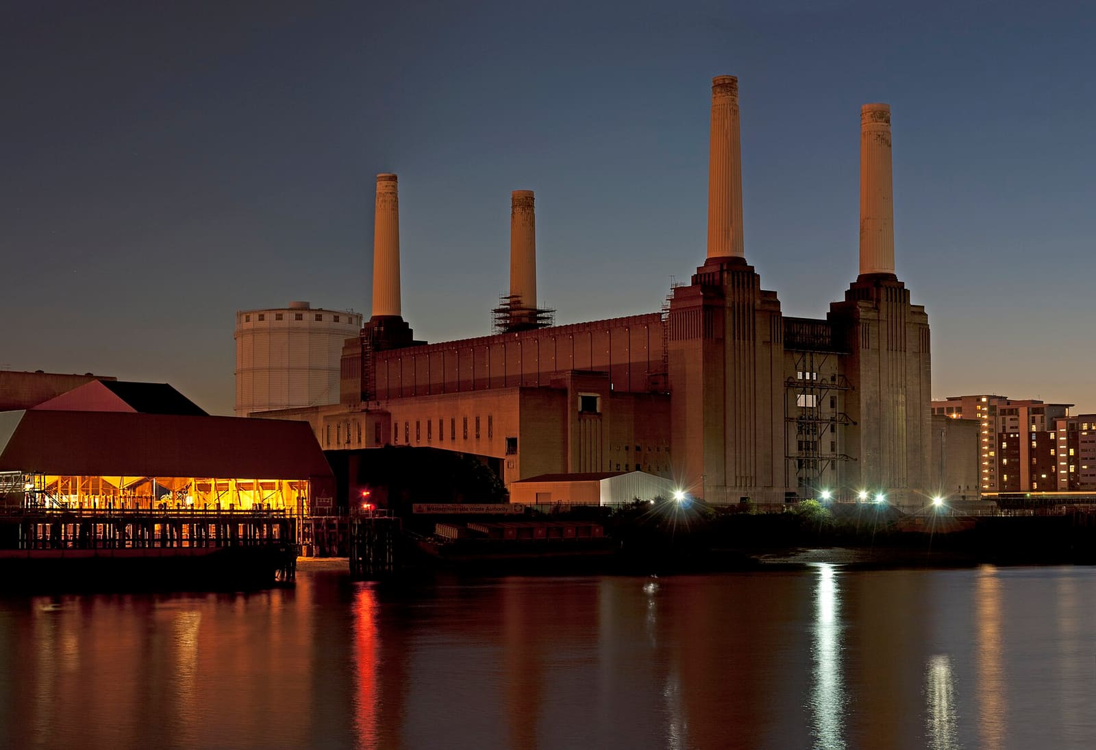
Battersea & Nine Elms
Battersea Park and the Power Station
Chelsea Pensioners, a Thames bridge, a peace pagoda and Battersea Power Station.
- 5.4 km · 3.4 miles
- 1 h 15 min walking
- Flat
- Step-free: check route
Best in SpringSummerFall
No walks match this filter.
Cornwall
-
Linear (one way)
Camel Trail: Wadebridge to Padstow
A surfaced, virtually level former railway beside the Camel estuary, shared with cyclists.
- 5.5 miles (8.8 km)
- Moderate
-
Linear (one way)
Penzance to Marazion
A wide, level coast path along Mount's Bay with St Michael's Mount ahead.
- 2.8 miles (4.5 km)
- Easy
-
Linear (one way)
Hayle to St Ives by the coast path
A one-way South West Coast Path walk round St Ives Bay by Carbis Bay, with a train back option.
- 6.9 miles (11.1 km)
- Moderate
Edinburgh
-
Linear (one way)
Water of Leith Walkway
Thirteen miles along the river from Balerno to Leith, easiest taken in sections.
- 13 miles (20.9 km)
- Hard
- About 2 hours from Balerno to Slateford and about 3 hours from Slateford to Leith (rough guides)
-
Linear (one way)
Union Canal: Lochrin Basin to Slateford
A level towpath section from the canal's Edinburgh terminus, part of the Forth & Clyde/Union route.
- 2.2 miles (3.5 km)
- Easy
Glasgow
-
Linear (one way)
Clyde Walkway: city center to Glasgow Green
About 2.5 miles (4 km) of the Clyde Walkway along the city waterfront, from the west end to Glasgow Green.
- 2.5 miles (4.1 km)
- Easy
-
Linear (one way)
Forth & Clyde Canal towpath at Maryhill
A 1.5 miles (2.4 km) stretch of canal towpath in north Glasgow, part of the Forth & Clyde/Union route.
- 1.5 miles (2.4 km)
- Easy
Liverpool
-
Linear (one way)
Crosby promenade and Another Place
A flat promenade walk beside Antony Gormley's 100 iron figures, with tide and soft-sand rules.
- 1.6 miles (2.6 km)
- Easy
Manchester
-
Linear (one way)
Castlefield to Ducie Street on the Rochdale Canal
A 1.5 miles (2.4 km) towpath walk through Castlefield, past the Rochdale Nine locks and into Piccadilly Tunnel.
- 1.5 miles (2.4 km)
- Easy
-
Linear (one way)
Bridgewater Canal towpath: Castlefield to Stretford
Almost 3.1 miles (5 km) of the Bridgewater Way from Castlefield Basin out along the canal towpath.
- 2.9 miles (4.7 km)
- Easy
Northern Ireland
-
Linear (one way)
Causeway Coast Way: Ballintoy to Portballintrae
A long, demanding coastal section past Dunseverick and the Giant's Causeway.
- 11 miles (17.7 km)
- Hard
-
Linear (one way)
Cuilcagh Boardwalk Trail
A one-way trail from the Marlbank Road in Fermanagh up to a viewing platform on Cuilcagh.
- 4 miles (6.5 km)
- Hard
- The page says 3 hours round trip, but also warns it can take 8 to 10 hours on a busy day
Oxford
-
Linear (one way)
Thames Path: Godstow to Folly Bridge
The Thames Path past Port Meadow and into central Oxford.
- 2.9 miles (4.7 km)
- Easy
The Cotswolds
-
Linear (one way)
Cotswold Way: Wood Stanway to Winchcombe
Section 3 of the National Trail, along the escarpment to the town of Winchcombe.
- 5.5 miles (8.8 km)
- Moderate
-
Linear (one way)
Cotswold Way: Winchcombe to Cleeve Hill
Section 4 of the National Trail: a steady climb from Winchcombe onto the highest Cotswold ground.
- 5.6 miles (9.0 km)
- Moderate
-
Linear (one way)
Cotswold Way: Leckhampton Hill to Birdlip
Section 7 of the National Trail, along the escarpment edge from Leckhampton Hill to Birdlip.
- 5.6 miles (9.0 km)
- Moderate
The Jurassic Coast
-
Linear (one way)
South West Coast Path: Durdle Door to Lulworth Cove
A short one-way stretch of the National Trail between two of Dorset's best-known bays.
- 1.4 miles (2.3 km)
- Easy
-
Linear (one way)
Swanage to Studland over Ballard Down
The end of the National Trail, on chalk downland above Swanage Bay and Studland.
- 4.5 miles (7.2 km)
- Easy
The Lake District
-
Circular
Tarn Hows circular
A level-ish loop round a landscaped tarn above Coniston, with a Miles Without Stiles route description.
- 2.1 miles (3.3 km)
- Easy
- 1.5 hours
-
Linear (one way)
West Windermere Way
Newby Bridge to Lakeside YMCA through woods above the western shore of the south basin.
- 3.5 miles (5.6 km)
- Moderate
- 2.5 hours
-
Circular
Dodd Summit trail
A steep waymarked climb through forest to the open top of Dodd above Bassenthwaite Lake.
- 3.5 miles (5.7 km)
- Hard
-
Circular
Carron Crag trail, Grizedale
A strenuous forest loop from the Grizedale visitor center to the highest point in the forest.
- 4.8 miles (7.8 km)
- Hard
The Scottish Highlands
-
Linear (one way)
West Highland Way: Kingshouse to Kinlochleven
The Devil's Staircase stage, climbing from Glencoe moorland to the highest point of the West Highland Way.
- 9 miles (14.5 km)
- Moderate
-
Linear (one way)
West Highland Way: Kinlochleven to Fort William
The final stage of the West Highland Way: a rough Lairigmor track and a forest path into Glen Nevis.
- 15 miles (24.0 km)
- Hard
Wales
-
Out and back
Pyg Track to Yr Wyddfa (Snowdon)
A rocky, steep mountain path from Pen-y-Pass to the summit, graded hard by the park authority.
- 6.8 miles (11.0 km)
- Hard
- 6 hours
-
Out and back
Llanberis Path to Yr Wyddfa (Snowdon)
The longest and gentlest-graded route up Snowdon, from Llanberis, still graded hard by the park authority.
- 9 miles (14.5 km)
- Hard
- 7 hours
-
Linear (one way)
Pembrokeshire Coast Path: Porthgain to Whitesands
A rugged cliff-top section of the National Trail from a harbor village to St Davids Head's beach.
- 10 miles (16.1 km)
- Hard
-
Linear (one way)
Beacons Way: Storey Arms to Craig-y-Nos
Day 5 of the Beacons Way: a long moorland ridge walk west from the A470 to Craig-y-nos Country Park.
- 15 miles (23.5 km)
- Hard
- 6 hours
No walks match these filters.
More outdoors: beaches and parks and gardens.
How these routes are made
Each stop is a real place with coordinates checked against OpenStreetMap or our place data. The line on the map is a real pedestrian route between stops, worked out once from OpenStreetMap data and saved with the site. Times use a walking speed of 2.8 miles (4.5 km)/h and do not include time at stops, so allow longer. Step-free access has not been checked along these routes: use the link on each walk to check before you go. Opening times change, so check before you visit.
Route and map data: © OpenStreetMap contributors (ODbL), routing by the FOSSGIS OSRM service. Spotted a mistake on the map? Fix the map. Photos are credited on the photo credits page.