 English (UK)
 English (US)
 Français
 Deutsch
 Español
 Italiano
 Nederlands
 简体中文
The Lake District · Linear (one way)
West Windermere Way
Newby Bridge to Lakeside YMCA through woods above the western shore of the south basin.
- Distance 5.6 km · 3.5 miles As stated on the official page
- Typical time 2.5 hours Official page (opens in new tab)
- Ascent Not stated No official ascent figure
- Grade Moderate Official grade: “Moderate”
- Route typeLinear (one way) Newby Bridge to YMCA Lakeside (north)
Take this walk offline
Near the start, along the way and at the finish
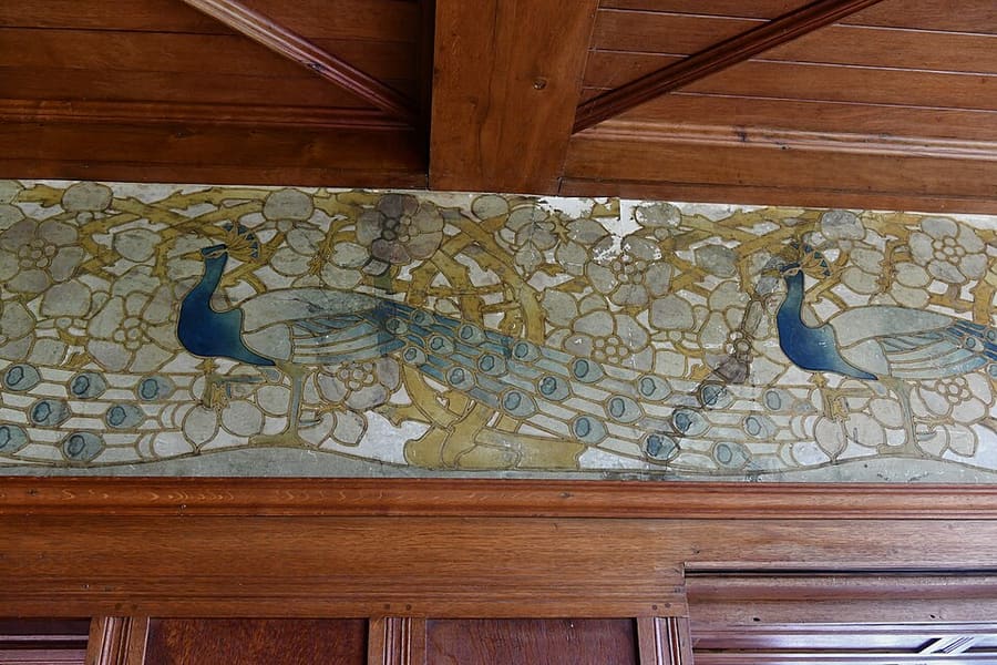

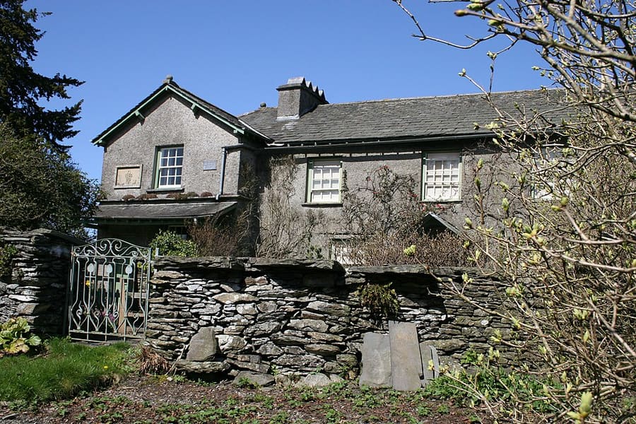

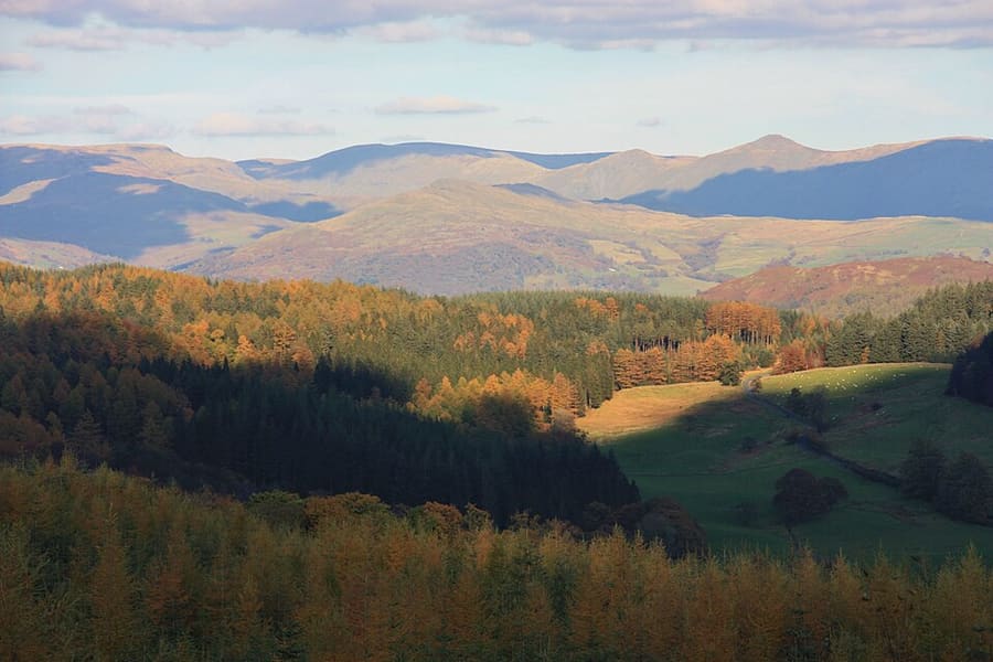

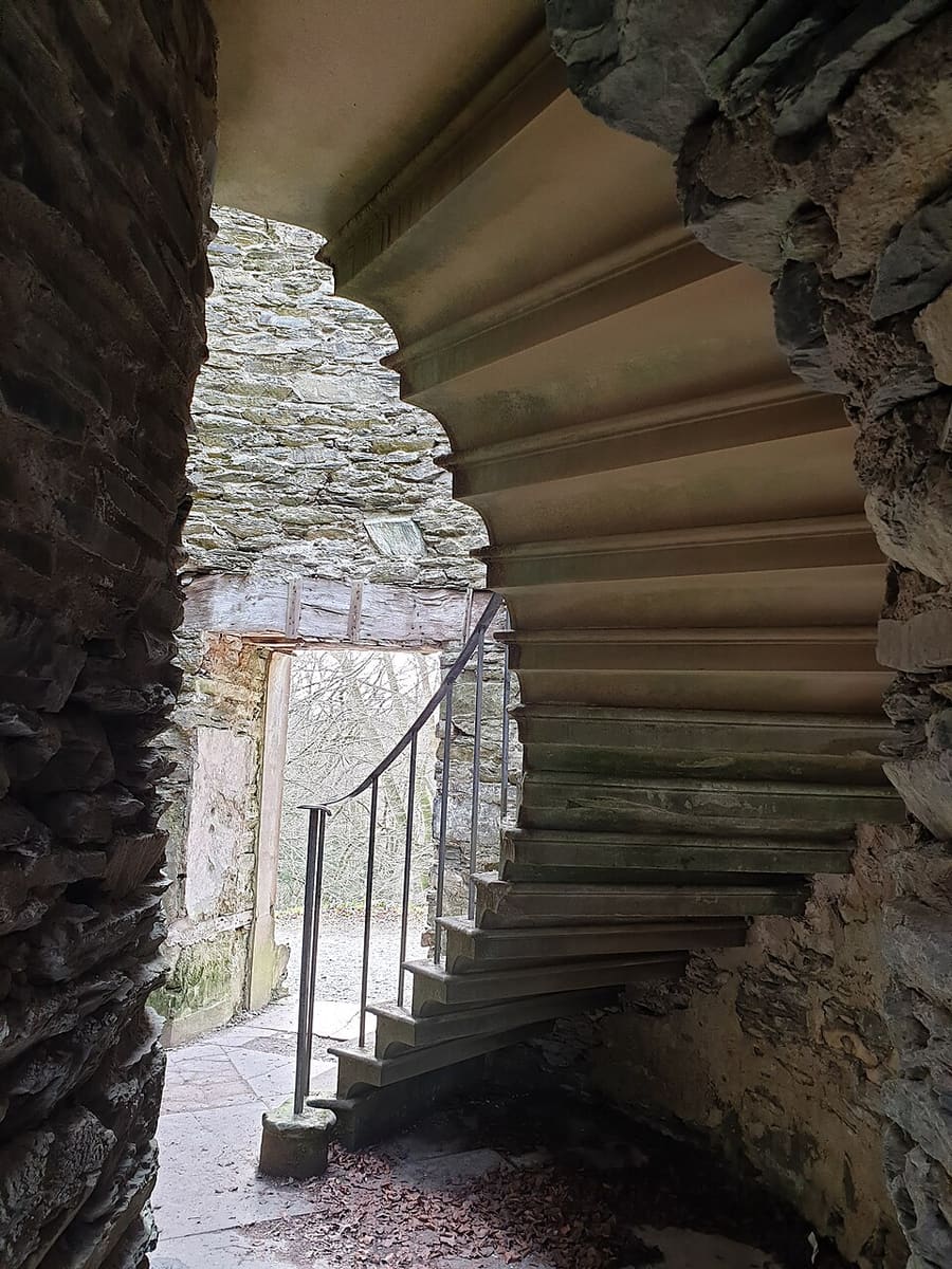

Photos of named places from our guides closest to each point of the walk, with the straight-line distance. They show the area, not the path itself: follow the waymarks and the official page.
The route
A one-way walk from Newby Bridge to the northern end of the route at YMCA Lakeside, passing Finsthwaite and Stott Park. The park authority grades it moderate. You can start at Lakeside pier instead and finish by boat or train.
The interactive map needs JavaScript. The start and finish are listed below.
Along the way
- Start: Newby Bridge
- Finish: YMCA Lakeside (north)
The line is drawn from OpenStreetMap data and simplified to 299 points. It can differ from what is on the ground: waymarks and the official page take priority.
Route and map data © OpenStreetMap contributors (ODbL), saved 2026-10-25. Spotted a mistake? Fix the map.
The GPX file holds the route as a track and the start, finish and waypoints, for use in a walking or hiking app. It is a planning aid, not a navigation guarantee.
Before you go
Safety and access notes come from official pages. Conditions change, so read the linked page for the day you walk.
Getting there
- Nearest station or stop to the start in our dataNewby Bridge Halt (heritage, Lakeside & Haverthwaite Railway), about 0.2 miles (0.3 km) in a straight line.
- Nearest to the finishLakeside (heritage, Lakeside & Haverthwaite Railway), about 1.6 miles (2.6 km) in a straight line.
- Stagecoach buses 6, 6C, X6 and X60 serve Newby Bridge; the Lakeside and Haverthwaite Railway and Windermere Lake Cruises reach Lakeside. Check current schedules. Source (opens in new tab)
Straight-line distances from our station list, not walking distances. Check schedules and the route to the start before you travel. Getting between regions
Step-free and stroller access
The official page does not say whether this route is step-free or suitable for strollers, so we do not either. Check the official page (opens in new tab) or ask the site.
Safety
- The park warns that roads near Finsthwaite are narrow and can be busy, and that you must cross a busy road when heading north from Lakeside pier. Lake District National Park: West Windermere Way (opens in new tab)
- The park says Lake District weather is very unpredictable and summits can be in mist when the start is clear. It advises a map and compass, boots, waterproofs, a whistle and flashlight, and telling someone your route and return time. Lake District National Park: What to pack (opens in new tab)
How these figures were worked out
- Distance: taken from the official page (source (opens in new tab)).
- Grade: taken from the official page.
- Time: only shown when an official page states it.
Sources
- Lake District National Park: West Windermere Way (opens in new tab). distance 3.5 miles (5.58 km), 2.5 hours, Moderate, start and end, safety, transport. Checked on 2026-10-25.
- Lake District National Park: What to pack (opens in new tab). weather and kit safety advice. Checked on 2026-10-25.
- OpenStreetMap relation 16216508 (West Windermere Way) (opens in new tab). route geometry (c) OpenStreetMap contributors, ODbL; measured 3.6 miles (5.75 km). Checked on 2026-10-25.
- OpenStreetMap contributors (opens in new tab) (ODbL). Route geometry. Saved 2026-10-25.
More walks in the Lake District
Dodd Summit trail
A steep waymarked climb through forest to the open top of Dodd above Bassenthwaite Lake.
Carron Crag trail, Grizedale
A strenuous forest loop from the Grizedale visitor center to the highest point in the forest.
Tarn Hows circular
A level-ish loop round a landscaped tarn above Coniston, with a Miles Without Stiles route description.
All walks · The Lake District guide · Beaches · Parks and gardens