 English (UK)
 English (US)
 Français
 Deutsch
 Español
 Italiano
 Nederlands
 简体中文
迷你指南:
Buxton & the Northern Peak:前往方式
前往Buxton & the Northern Peak的站点、车站与交通方式
站点与车站
前往 Buxton & the Northern Peak
请选择离目的地最近的站点。
| 站点或车站 | 服务 | 适合 |
|---|---|---|
| Buxton站 | 北部 | Northern 运营 Manchester Piccadilly 至 Buxton 的线路,其官网页面给出的平均行程为1小时1分钟。从 Buxton 出发的巴士可继续前往 White Peak 的村庄和 Bakewell。 |
| High Peak 61 和 62 路 | High Peak 公交 | Visit Peak District列出从Buxton前往High Peak的61路,以及从Buxton进入国家公园的62路(Peak Pathfinder);请向运营商确认时刻 |
| High Peak 442 | High Peak 公交 | 据Visit Peak District介绍,往返于Ashbourne与Buxton之间;时刻请向运营方查询 |
| Whaley Bridge and the Goyt Valley | 北部 | Visit Peak District介绍了乘火车游览Goyt Valley的无车行程;从Manchester到Glossop的线路也经过New Mills |
Within walking range
Stations near Buxton & the Northern Peak
Stations and stops mapped in OpenStreetMap within 2.5 km of the centre of Buxton & the Northern Peak, nearest first. Distances are straight lines; walking times assume 5 km/h and are a minimum.
| Station or stop | 类型 | 距离 | 步行 |
|---|---|---|---|
| Buxton | Rail station (Northern) | 1.9 km | about 23 min |
Station data: © OpenStreetMap contributors (ODbL), read 25 October 2026. Check step-free access with the operator before you travel.
Walking from nearby areas
- Castleton, Hope Valley & Edale: 13.5 km from Buxton & the Northern Peak, better by public transport
- Bakewell, Haddon & Monsal: 18.2 km from Buxton & the Northern Peak, better by public transport
- Hathersage, Longshaw & Eyam: 19.7 km from Buxton & the Northern Peak, better by public transport
- Dovedale, Ashbourne & the White Peak South: 27.2 km from Buxton & the Northern Peak, better by public transport
前往 峰区
官方出行信息
峰区位于北面的曼彻斯特和谢菲尔德与南面的德比之间。Visit Peak District 建议尽量乘坐公共交通,多条铁路和巴士线路可抵达公园。下列行程时间取自其网页和 Northern 网页的说明;请务必向运营商确认最新时刻。
- Visit Peak District: getting here →——Visit Peak District & Derbyshire,当地旅游机构
- Northern: the Peak District →——Hope Valley、Buxton 和 Glossop 线路
- Peak District National Park Authority →——公园官方网站;该网站会拦截自动请求,因此本指南未读取其内容
- Travel Derbyshire →——峰区、德比郡和德比的时刻表
- National Rail →——列车时刻与车票
- Traveline →——巴士与长途汽车行程规划
班次时间、票价和运营中断情况可能变动:请通过上方运营方页面查看实时信息。
在此规划行程
输入起点,Google Maps 将显示前往Buxton & the Northern Peak的路线。已默认选择公共交通,可在地图上更改。实时中断信息请查看运营方网站。
While you are here
Things to see in Buxton & the Northern Peak
A few of the sights in the area. The Things to do page lists them all, with directions and official links.

峰区
More areas to explore
图片来源
- Whaley Bridge: Dave.Dunford, CC BY-SA 3.0, source
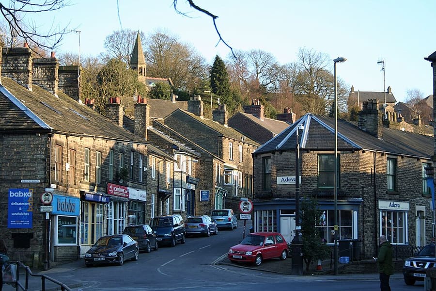
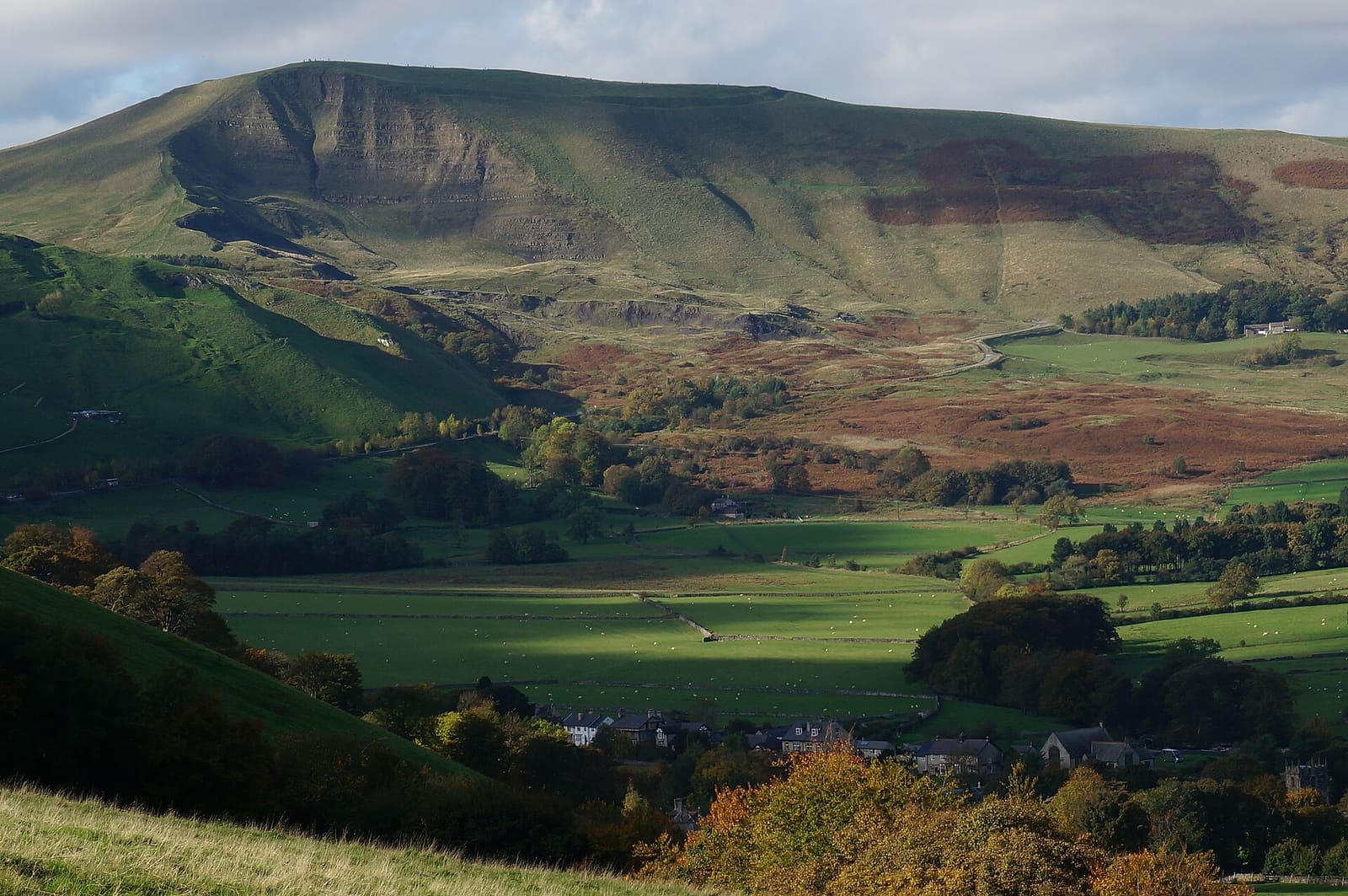
- Buxton & the Northern Peak (area photo): Eugene Birchall, CC BY-SA 2.0, source
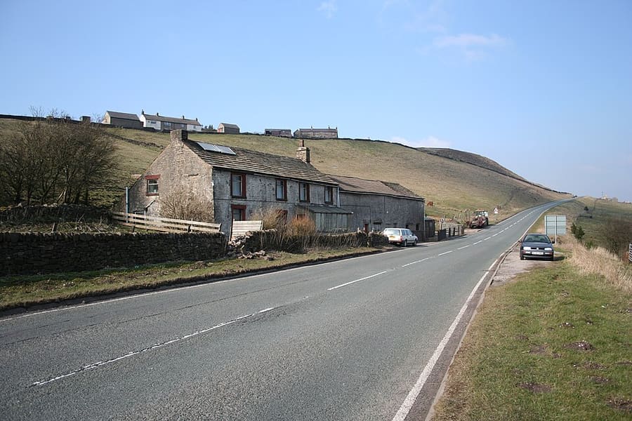
- Axe Edge Moor: Dave Dunford, CC BY-SA 2.0, source
- Buxton Opera House: Dave Pape, Public domain, source
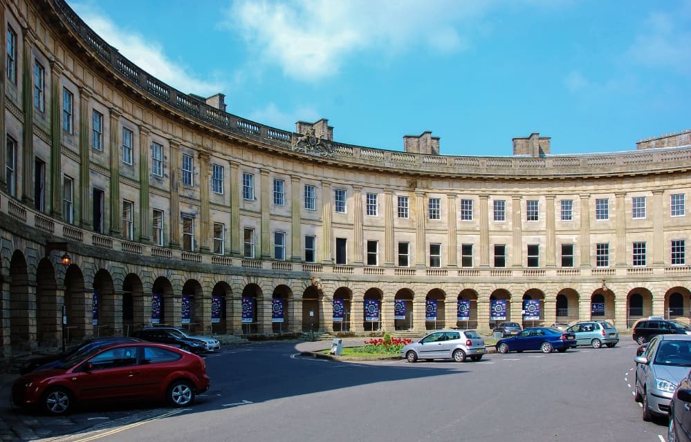
- Buxton Crescent: Eugene Birchall, CC BY-SA 2.0, source
- Castleton, Hope Valley & Edale: Peter Barr, CC BY-SA 2.0, source
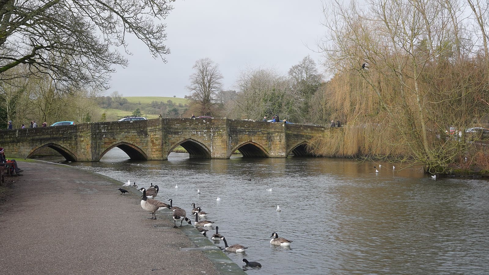
- Bakewell, Haddon & Monsal: Kmtextor, CC BY-SA 4.0, source
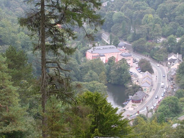
- Matlock Bath, Matlock & the Derwent Valley: Janine Forbes., CC BY-SA 2.0, source
- Dovedale, Ashbourne & the White Peak South: Paul Albertella from Manchester, UK, CC BY 2.0, source
- Hathersage, Longshaw & Eyam: Neil Theasby, CC BY-SA 2.0, source
Photos from Wikimedia Commons, used under the licences shown. All photo credits