 English (UK)
 English (US)
 Français
 Deutsch
 Español
 Italiano
 Nederlands
 简体中文
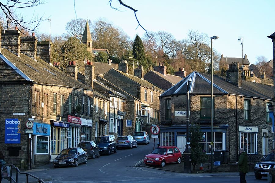
Una miniguía de
Buxton & the Northern Peak: cómo llegar
Paradas, estaciones y cómo llegar a Buxton & the Northern Peak
Paradas y estaciones
Cómo llegar a Buxton & the Northern Peak
Elija la parada más cercana a su destino.
| Parada o estación | Servicios | Ideal para |
|---|---|---|
| Estación de Buxton | Norte | Northern opera la línea de Manchester Piccadilly a Buxton; su propia página indica un trayecto medio de 1 hora 1 minuto. Desde Buxton, los autobuses continúan hasta los pueblos del White Peak y Bakewell. |
| High Peak 61 y 62 | Autobuses del High Peak | Visit Peak District menciona el 61 desde Buxton para el High Peak y el 62 (Peak Pathfinder) desde Buxton hacia el Parque Nacional; conviene consultar los horarios al operador |
| High Peak 442 | Autobuses del High Peak | Circula entre Ashbourne y Buxton según Visit Peak District; conviene consultar los horarios con el operador |
| Whaley Bridge and the Goyt Valley | Norte | Visit Peak District describe un recorrido en tren, sin coche, por el Goyt Valley; la línea de Manchester a Glossop también llega a New Mills |
Within walking range
Stations near Buxton & the Northern Peak
Stations and stops mapped in OpenStreetMap within 2.5 km of the centre of Buxton & the Northern Peak, nearest first. Distances are straight lines; walking times assume 5 km/h and are a minimum.
| Station or stop | Tipo | Distancia | A pie |
|---|---|---|---|
| Buxton | Rail station (Northern) | 1.9 km | about 23 min |
Station data: © OpenStreetMap contributors (ODbL), read 25 October 2026. Check step-free access with the operator before you travel.
Walking from nearby areas
- Castleton, Hope Valley & Edale: 13.5 km from Buxton & the Northern Peak, better by public transport
- Bakewell, Haddon & Monsal: 18.2 km from Buxton & the Northern Peak, better by public transport
- Hathersage, Longshaw & Eyam: 19.7 km from Buxton & the Northern Peak, better by public transport
- Dovedale, Ashbourne & the White Peak South: 27.2 km from Buxton & the Northern Peak, better by public transport
Llegar al Peak District
Información oficial de viajes
El Peak District se extiende entre Manchester y Sheffield, al norte, y Derby, al sur. Visit Peak District recomienda usar el transporte público siempre que sea posible, y varias líneas y rutas de autobús llegan al parque. Los tiempos de viaje que figuran más abajo son los que indican sus páginas y las de Northern; consulte siempre a los operadores los horarios actuales.
- Visit Peak District: cómo llegar → — Visit Peak District & Derbyshire, el organismo de turismo de la zona
- Northern: el Peak District → — líneas de Hope Valley, Buxton y Glossop
- Peak District National Park Authority → — sitio oficial del parque; bloquea las solicitudes automáticas, por lo que no se consultó para esta guía
- Travel Derbyshire → — horarios del Peak District, Derbyshire y Derby
- National Rail → — horarios y billetes de tren
- Traveline → — planificador de viajes en autobús y autocar
Los horarios, tarifas e incidencias cambian: consulte las páginas de los operadores indicadas arriba para información en directo.
Planifique aquí su trayecto
Indique su punto de partida y Google Maps le mostrará rutas a Buxton & the Northern Peak. Está seleccionado el transporte público; puede cambiarlo en el mapa. Consulte las webs de los operadores para ver incidencias en directo.
While you are here
Things to see in Buxton & the Northern Peak
A few of the sights in the area. The Things to do page lists them all, with directions and official links.
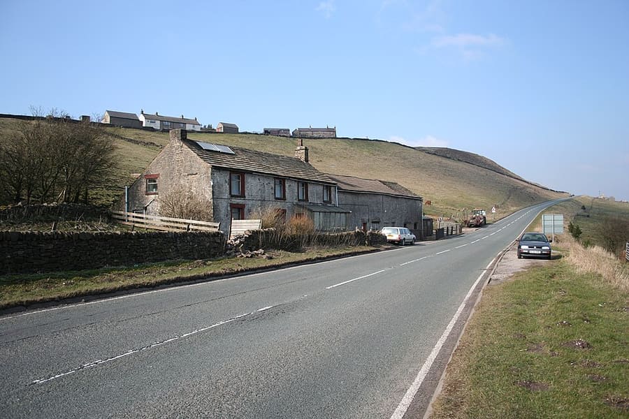
Axe Edge Moor
Extenso páramo de gritstone al suroeste de Buxton.
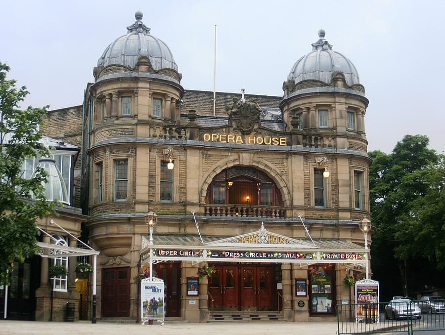
Buxton Opera House
Teatro de 902 asientos en The Square, sede del Buxton Festival y del International Gilbert and Sullivan Festival.
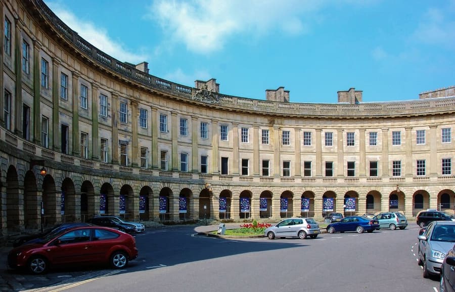
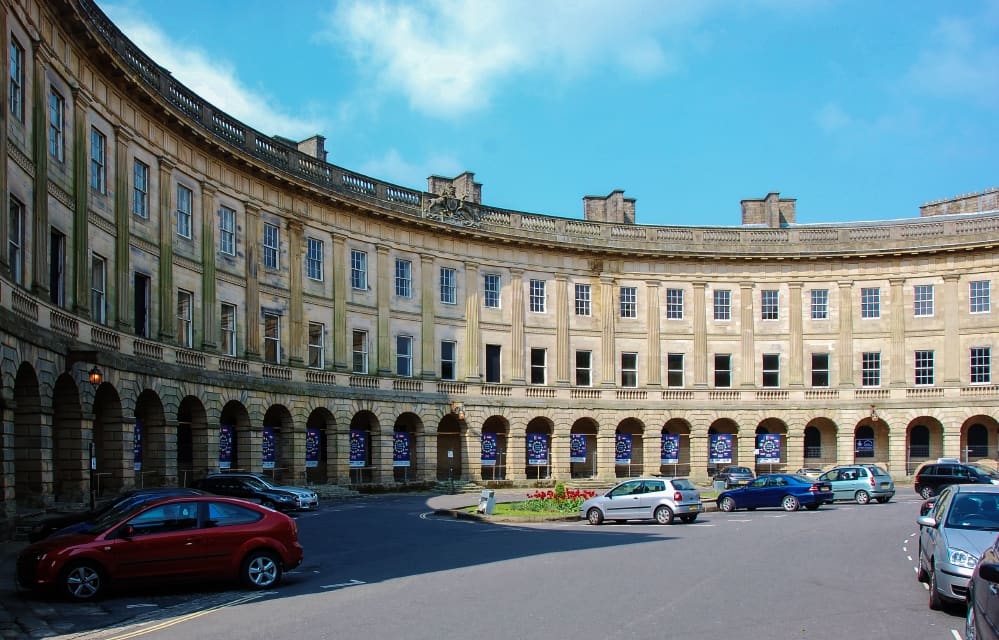
Buxton Crescent
Crescent catalogado Grade I, diseñado por John Carr de York y construido para el 5.º duque de Devonshire entre 1780 y 1789.
The Peak District
More areas to explore
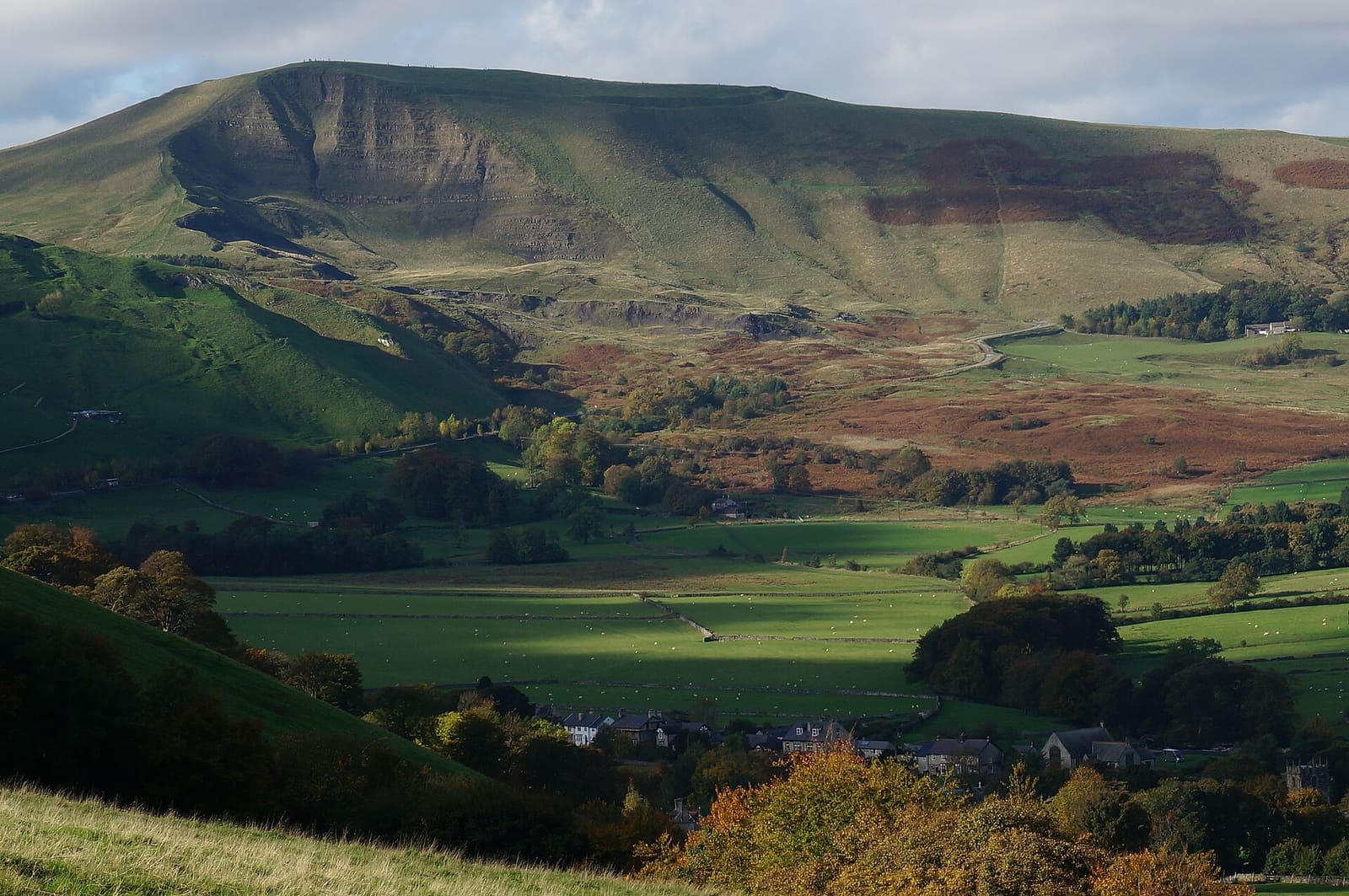
Castleton, Hope Valley & Edale
Cuevas visitables, un castillo normando y el inicio del Pennine Way al pie de Kinder Scout
Abrir la miniguía →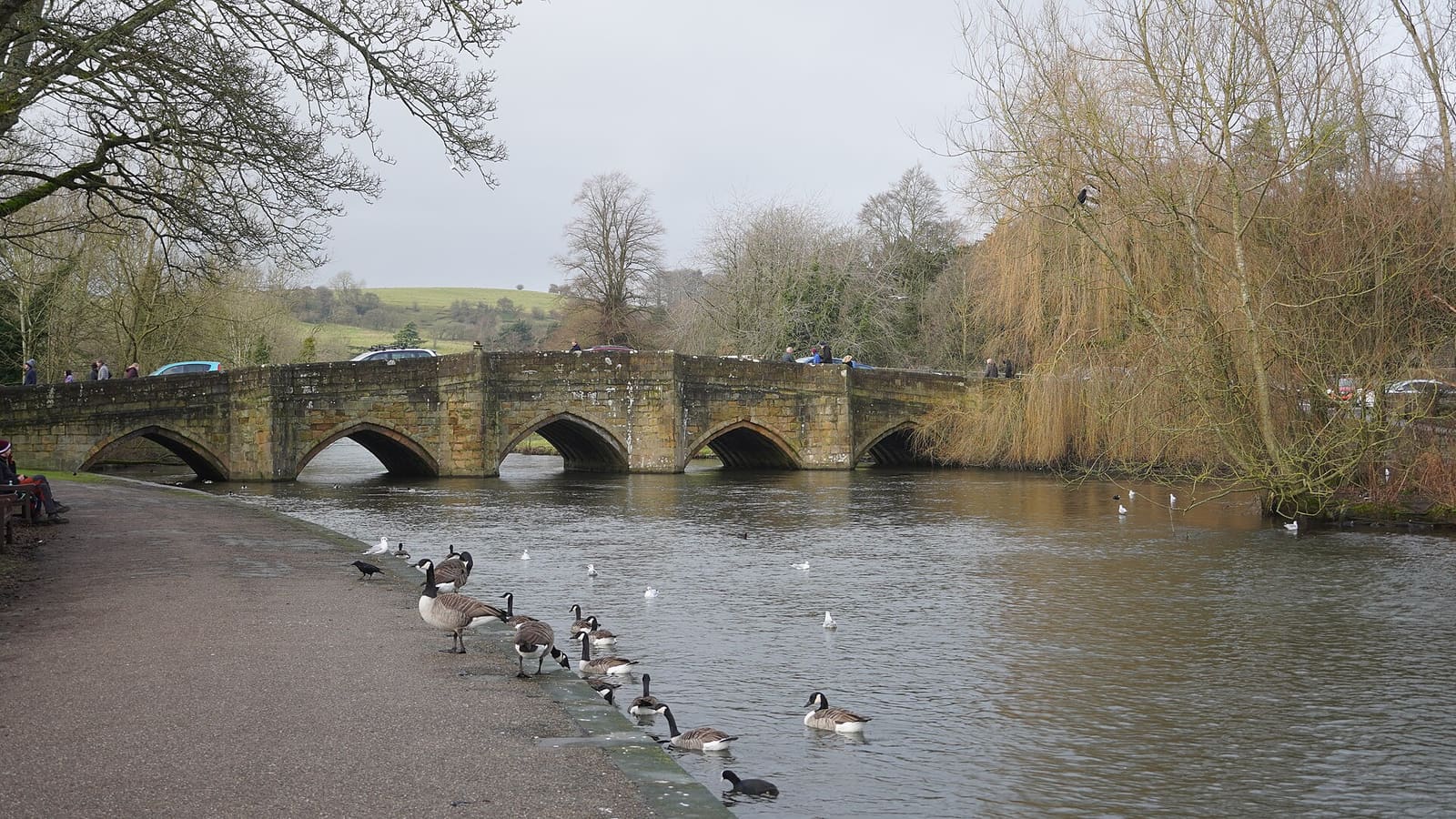
Bakewell, Haddon & Monsal
Una localidad con mercado a orillas del Wye, con Haddon Hall, Chatsworth cerca y el Monsal Trail
Abrir la miniguía →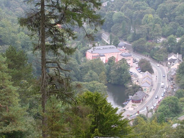
Matlock Bath, Matlock & the Derwent Valley
Un pueblo en una garganta con teleférico y los molinos de Arkwright en un valle Patrimonio de la Humanidad
Abrir la miniguía →Créditos fotográficos
- Whaley Bridge: Dave.Dunford, CC BY-SA 3.0, source
- Buxton & the Northern Peak (area photo): Eugene Birchall, CC BY-SA 2.0, source
- Axe Edge Moor: Dave Dunford, CC BY-SA 2.0, source
- Buxton Opera House: Dave Pape, Public domain, source
- Buxton Crescent: Eugene Birchall, CC BY-SA 2.0, source
- Castleton, Hope Valley & Edale: Peter Barr, CC BY-SA 2.0, source
- Bakewell, Haddon & Monsal: Kmtextor, CC BY-SA 4.0, source
- Matlock Bath, Matlock & the Derwent Valley: Janine Forbes., CC BY-SA 2.0, source
- Dovedale, Ashbourne & the White Peak South: Paul Albertella from Manchester, UK, CC BY 2.0, source
- Hathersage, Longshaw & Eyam: Neil Theasby, CC BY-SA 2.0, source
Photos from Wikimedia Commons, used under the licences shown. All photo credits
Siga explorando el Peak District