 English (UK)
 English (US)
 Français
 Deutsch
 Español
 Italiano
 Nederlands
 简体中文
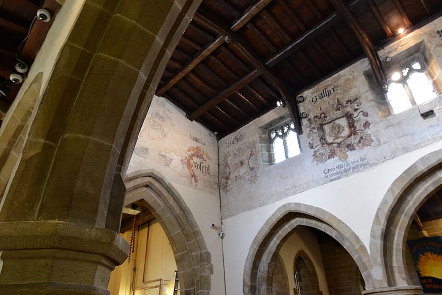
Una miniguía de
Hathersage, Longshaw & Eyam: cómo llegar
Paradas, estaciones y cómo llegar a Hathersage, Longshaw & Eyam
Paradas y estaciones
Cómo llegar a Hathersage, Longshaw & Eyam
Elija la parada más cercana a su destino.
| Parada o estación | Servicios | Ideal para |
|---|---|---|
| Estación de Hathersage | Norte | Hope Valley line entre Manchester Piccadilly y Sheffield; Northern describe la estación como situada bajo Stanage Edge |
| Estación de Grindleford | Norte | Hope Valley line; según Northern, ofrece acceso inmediato a Padley Gorge y está "a solo una hora de Manchester" |
| Estación de Bamford | Norte | Parada de la Hope Valley line para Bamford, el Ladybower Reservoir y el Upper Derwent Valley |
| Peak Sightseer | Stagecoach | Autobús turístico descubierto con paradas libres, entre ellas Hathersage, Bamford y Padley Gorge, según Visit Peak District; circula en verano, así que compruebe las fechas |
Within walking range
Stations near Hathersage, Longshaw & Eyam
Stations and stops mapped in OpenStreetMap within 2.5 km of the centre of Hathersage, Longshaw & Eyam, nearest first. Distances are straight lines; walking times assume 5 km/h and are a minimum.
| Station or stop | Tipo | Distancia | A pie |
|---|---|---|---|
| Grindleford | Rail station (Northern) | 1.1 km | about 13 min |
| Hathersage | Rail station (Northern) | 1.9 km | about 23 min |
Station data: © OpenStreetMap contributors (ODbL), read 25 October 2026. Check step-free access with the operator before you travel.
Walking from nearby areas
- Bakewell, Haddon & Monsal: 9.7 km from Hathersage, Longshaw & Eyam, better by public transport
- Castleton, Hope Valley & Edale: 9.7 km from Hathersage, Longshaw & Eyam, better by public transport
- Buxton & the Northern Peak: 19.7 km from Hathersage, Longshaw & Eyam, better by public transport
- Matlock Bath, Matlock & the Derwent Valley: 21.8 km from Hathersage, Longshaw & Eyam, better by public transport
Llegar al Peak District
Información oficial de viajes
El Peak District se extiende entre Manchester y Sheffield, al norte, y Derby, al sur. Visit Peak District recomienda usar el transporte público siempre que sea posible, y varias líneas y rutas de autobús llegan al parque. Los tiempos de viaje que figuran más abajo son los que indican sus páginas y las de Northern; consulte siempre a los operadores los horarios actuales.
- Visit Peak District: cómo llegar → — Visit Peak District & Derbyshire, el organismo de turismo de la zona
- Northern: el Peak District → — líneas de Hope Valley, Buxton y Glossop
- Peak District National Park Authority → — sitio oficial del parque; bloquea las solicitudes automáticas, por lo que no se consultó para esta guía
- Travel Derbyshire → — horarios del Peak District, Derbyshire y Derby
- National Rail → — horarios y billetes de tren
- Traveline → — planificador de viajes en autobús y autocar
Los horarios, tarifas e incidencias cambian: consulte las páginas de los operadores indicadas arriba para información en directo.
Planifique aquí su trayecto
Indique su punto de partida y Google Maps le mostrará rutas a Hathersage, Longshaw & Eyam. Está seleccionado el transporte público; puede cambiarlo en el mapa. Consulte las webs de los operadores para ver incidencias en directo.
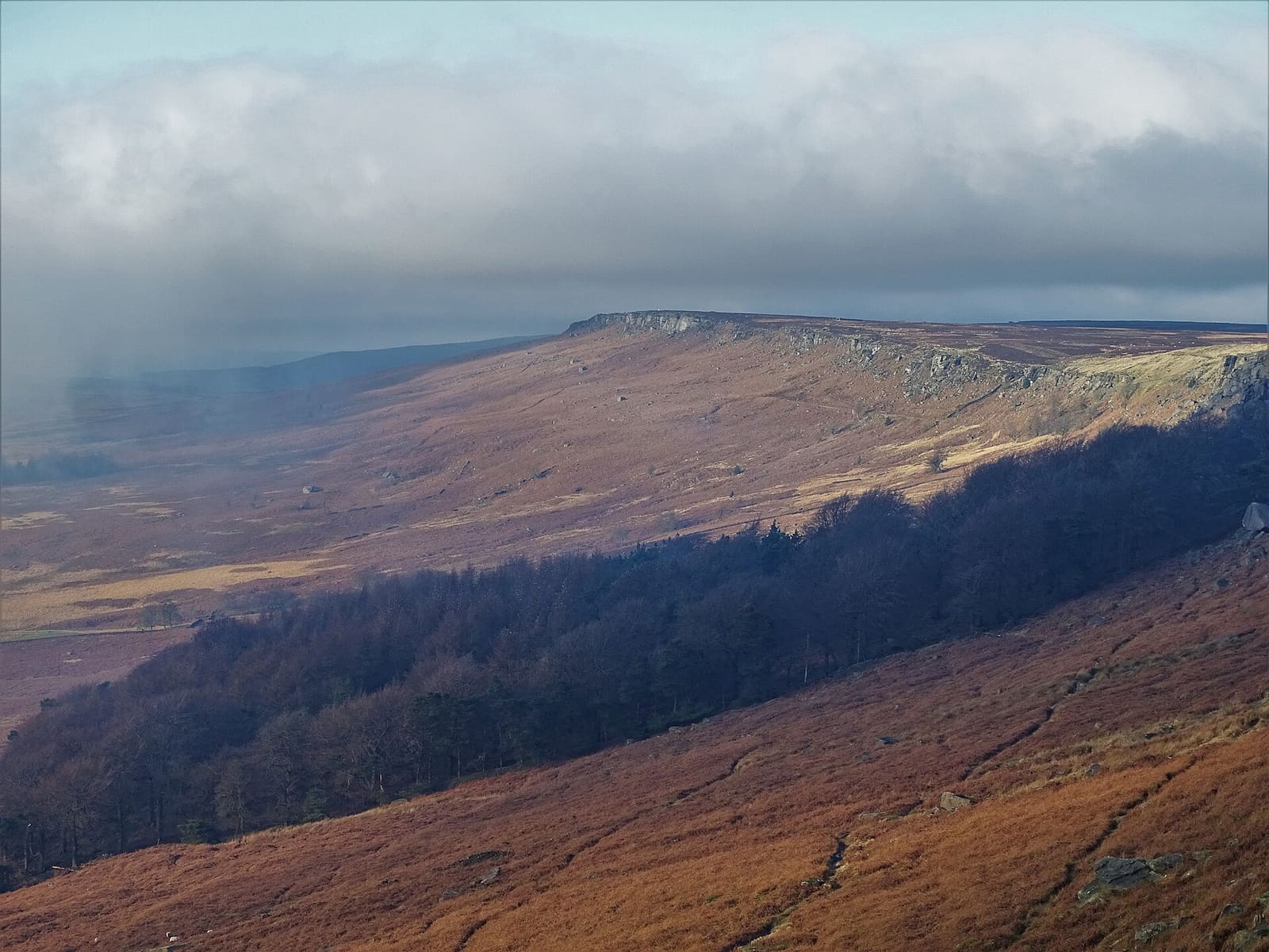
While you are here
Things to see in Hathersage, Longshaw & Eyam
A few of the sights in the area. The Things to do page lists them all, with directions and official links.
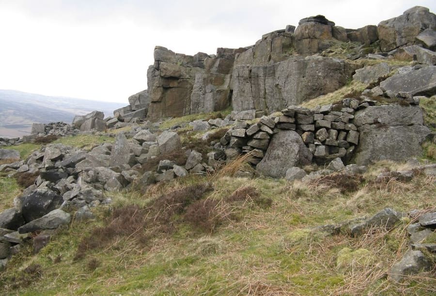
Stanage Edge
Escarpe de gritstone al norte de Hathersage, famoso por la escalada; su punto más alto, High Neb, mide 458 metros.
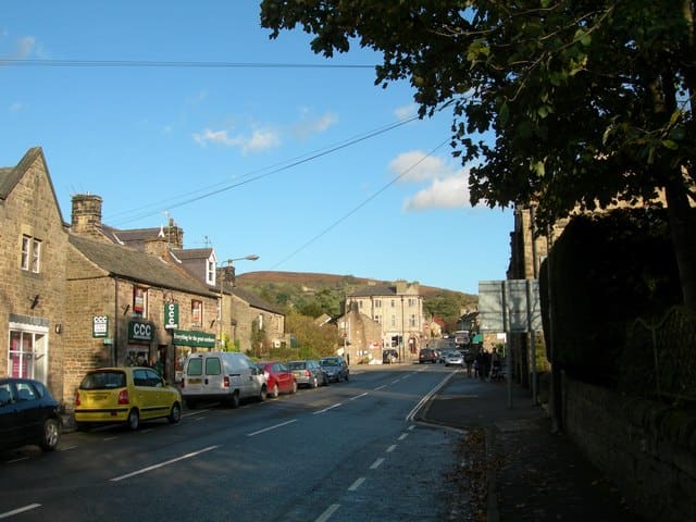
Hathersage
Pueblo y parroquia civil en el Peak District, justo al norte del río Derwent.
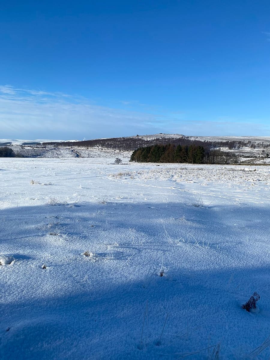
Longshaw Estate
Páramo, bosque y tierras de cultivo del parque nacional, con restos de asentamientos de la Edad del Bronce y medievales.
The Peak District
More areas to explore
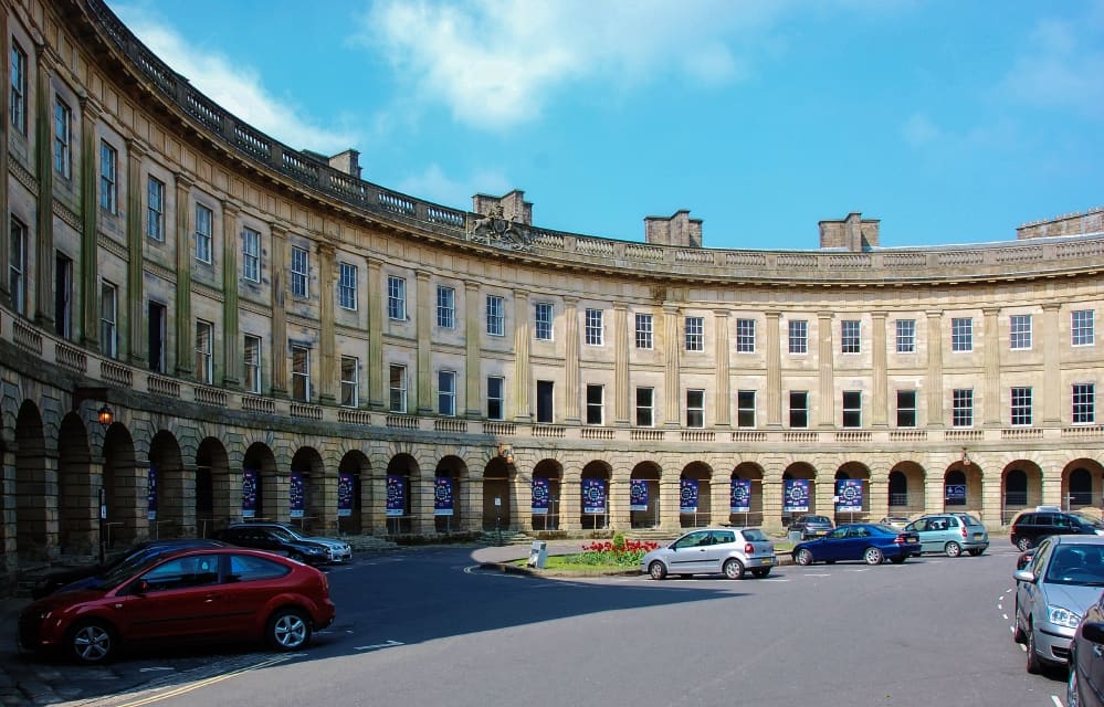
Buxton & the Northern Peak
Una ciudad balneario georgiana con ópera, una cueva visitable y el valle del Goyt a las puertas
Abrir la miniguía →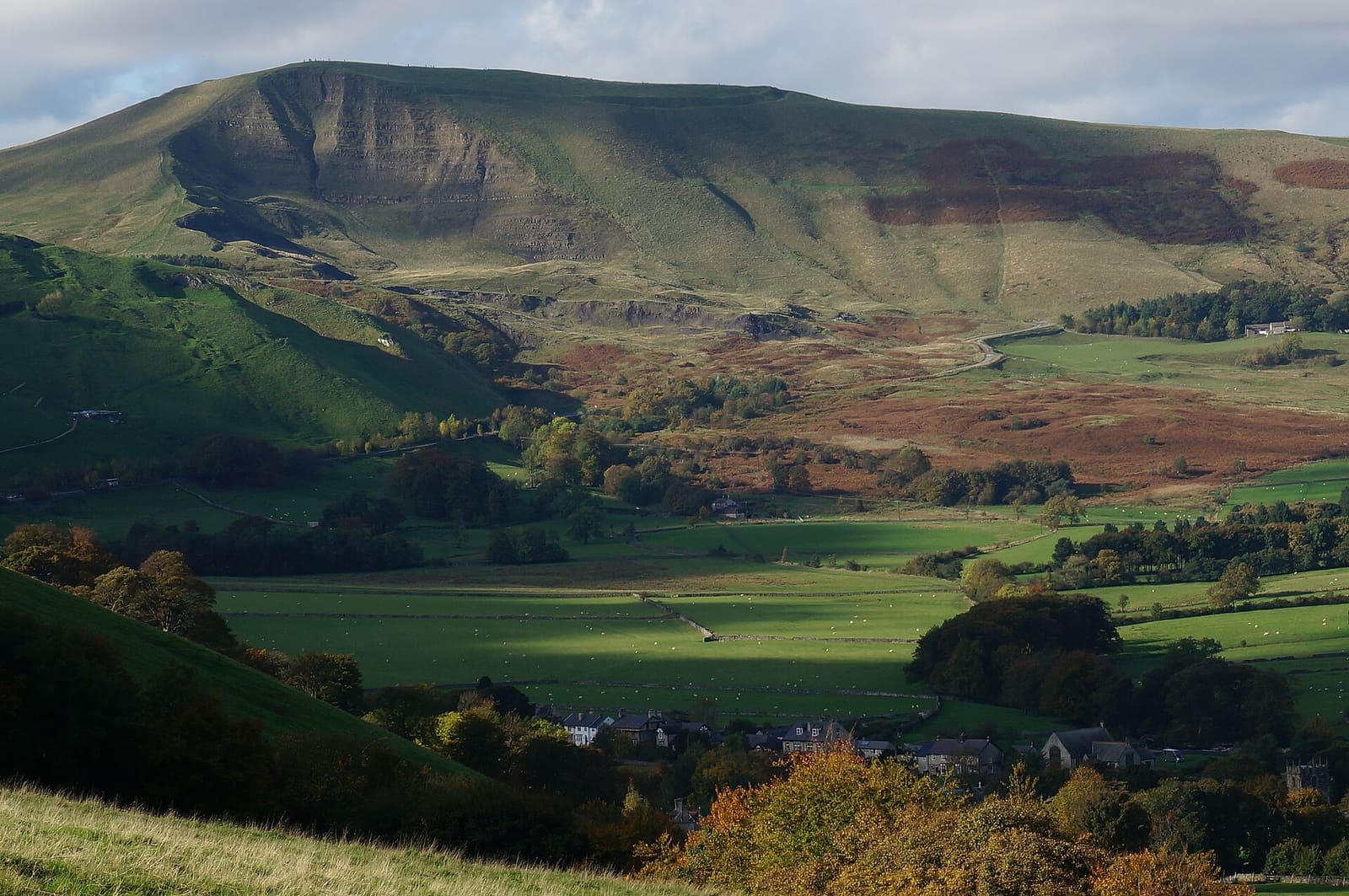
Castleton, Hope Valley & Edale
Cuevas visitables, un castillo normando y el inicio del Pennine Way al pie de Kinder Scout
Abrir la miniguía →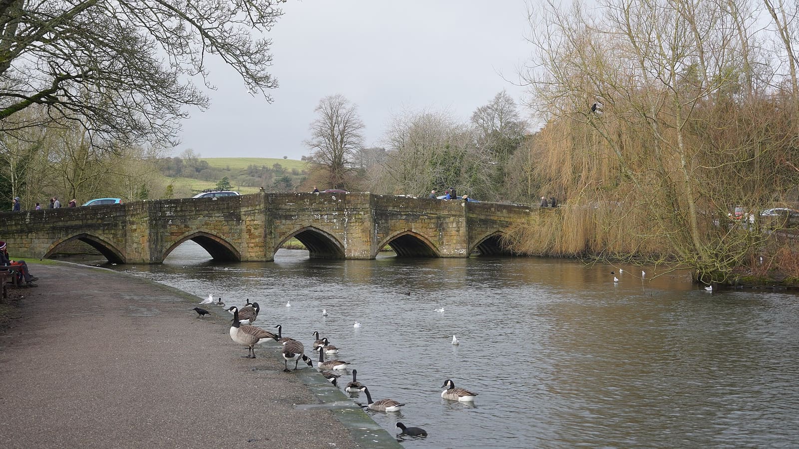
Bakewell, Haddon & Monsal
Una localidad con mercado a orillas del Wye, con Haddon Hall, Chatsworth cerca y el Monsal Trail
Abrir la miniguía →Créditos fotográficos
- St Lawrence's Church, Eyam: Michael Garlick, CC BY-SA 2.0, source
- Hathersage, Longshaw & Eyam (area photo): Neil Theasby, CC BY-SA 2.0, source
- Stanage Edge: Dave Pickersgill, CC BY-SA 2.0, source
- Hathersage: DAVID M GOODWIN, CC BY-SA 2.0, source
- Longshaw Estate: Robrocket82, CC BY 4.0, source
- Buxton & the Northern Peak: Eugene Birchall, CC BY-SA 2.0, source
- Castleton, Hope Valley & Edale: Peter Barr, CC BY-SA 2.0, source
- Bakewell, Haddon & Monsal: Kmtextor, CC BY-SA 4.0, source
- Matlock Bath, Matlock & the Derwent Valley: Janine Forbes., CC BY-SA 2.0, source
- Dovedale, Ashbourne & the White Peak South: Paul Albertella from Manchester, UK, CC BY 2.0, source
Photos from Wikimedia Commons, used under the licences shown. All photo credits
Siga explorando el Peak District