 English (UK)
 English (US)
 Français
 Deutsch
 Español
 Italiano
 Nederlands
 简体中文
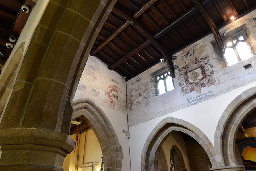
A mini guide to
Hathersage, Longshaw & Eyam: getting there
Stops, stations and how to reach Hathersage, Longshaw & Eyam
Stops and stations
Getting to Hathersage, Longshaw & Eyam
Choose the stop closest to where you are going.
| Stop or station | Services | Good for |
|---|---|---|
| Hathersage station | Northern | Hope Valley line between Manchester Piccadilly and Sheffield; Northern describes the station as lying beneath Stanage Edge |
| Grindleford station | Northern | Hope Valley line; Northern says it gives immediate access to Padley Gorge and is "only an hour from Manchester" |
| Bamford station | Northern | Hope Valley line stop for Bamford, the Ladybower Reservoir and the Upper Derwent Valley |
| Peak Sightseer | Stagecoach | Open-top hop-on hop-off bus with stops including Hathersage, Bamford and Padley Gorge, according to Visit Peak District; it runs in summer, so check the dates |
Within walking range
Stations near Hathersage, Longshaw & Eyam
Stations and stops mapped in OpenStreetMap within 2.5 km of the centre of Hathersage, Longshaw & Eyam, nearest first. Distances are straight lines; walking times assume 5 km/h and are a minimum.
| Station or stop | Type | Distance | On foot |
|---|---|---|---|
| Grindleford | Rail station (Northern) | 1.1 km | about 13 min |
| Hathersage | Rail station (Northern) | 1.9 km | about 23 min |
Station data: © OpenStreetMap contributors (ODbL), read 25 October 2026. Check step-free access with the operator before you travel.
Walking from nearby areas
- Bakewell, Haddon & Monsal: 9.7 km from Hathersage, Longshaw & Eyam, better by public transport
- Castleton, Hope Valley & Edale: 9.7 km from Hathersage, Longshaw & Eyam, better by public transport
- Buxton & the Northern Peak: 19.7 km from Hathersage, Longshaw & Eyam, better by public transport
- Matlock Bath, Matlock & the Derwent Valley: 21.8 km from Hathersage, Longshaw & Eyam, better by public transport
Reaching the Peak District
Official travel information
The Peak District sits between Manchester and Sheffield in the north and Derby in the south. Visit Peak District recommends public transport where possible, and several lines and bus routes reach the park. Journey times below are the ones its pages and Northern's pages state; always check operators for current times.
- Visit Peak District: getting here → — Visit Peak District & Derbyshire, the area tourism body
- Northern: the Peak District → — Hope Valley, Buxton and Glossop lines
- Peak District National Park Authority → — Official park site; it blocks automated requests, so it was not read for this guide
- Travel Derbyshire → — Timetables for the Peak District, Derbyshire and Derby
- National Rail → — Train times and tickets
- Traveline → — Bus and coach journey planner
Times, fares and disruption change: use the operator pages above for live information.
Plan your journey here
Enter your starting point and Google Maps will show routes to Hathersage, Longshaw & Eyam. Public transport is selected; change it on the map. Check operator sites for live disruption.
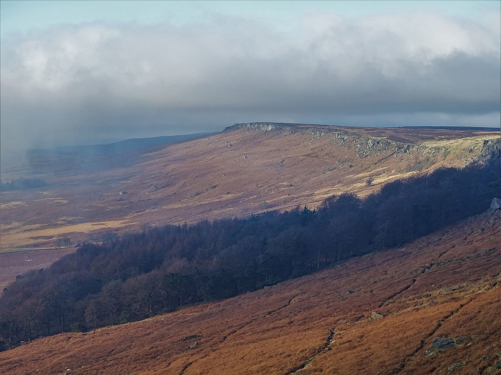
While you are here
Things to see in Hathersage, Longshaw & Eyam
A few of the sights in the area. The Things to do page lists them all, with directions and official links.
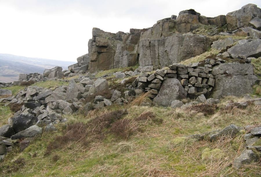
Stanage Edge
Gritstone escarpment north of Hathersage, famous for climbing; its highest point, High Neb, is 458 metres.
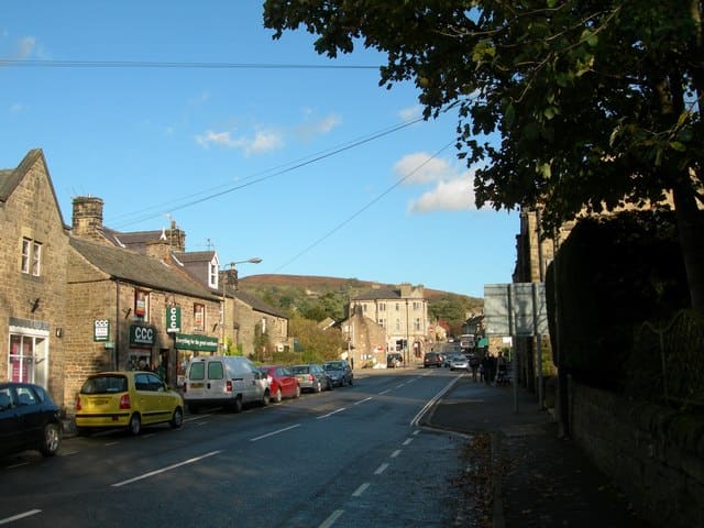
Hathersage
Village and civil parish in the Peak District, just north of the River Derwent.
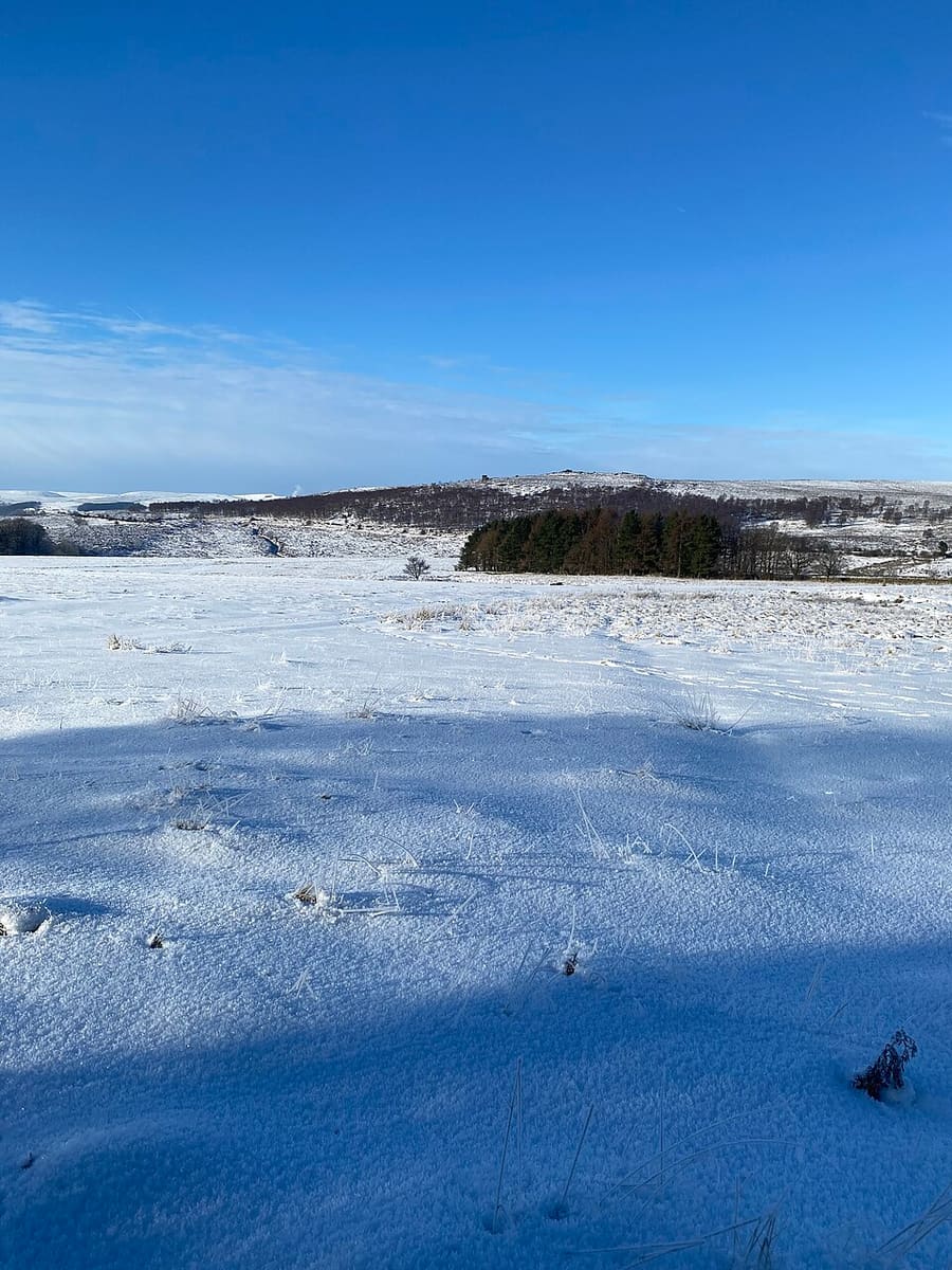
Longshaw Estate
Moorland, woodland and farmland in the National Park, with remains of Bronze Age and medieval settlement.
The Peak District
More areas to explore
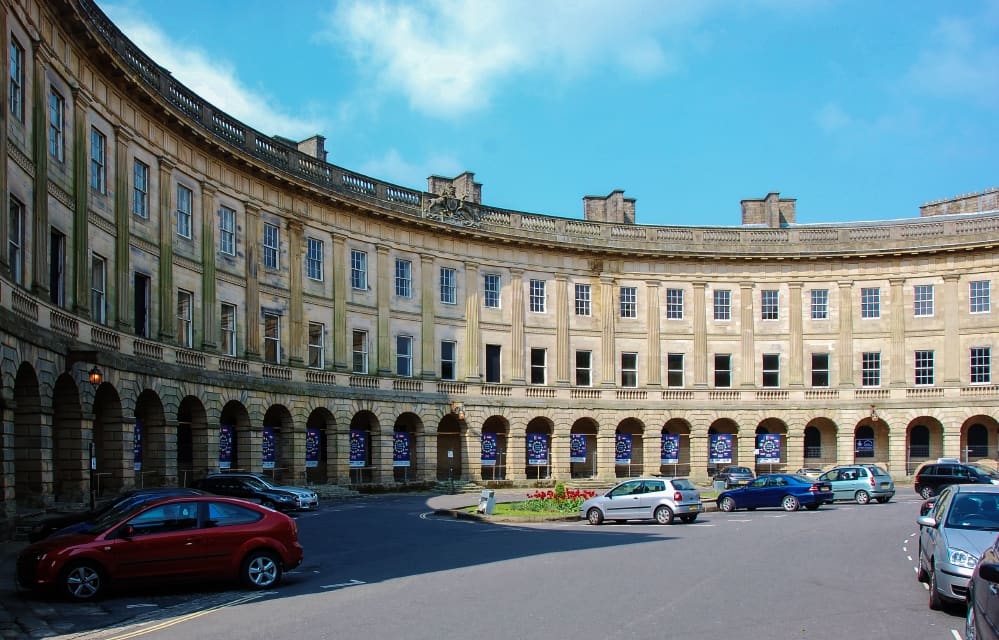
Buxton & the Northern Peak
A Georgian spa town with an opera house, a show cave and the Goyt Valley on its doorstep
Open the mini guide →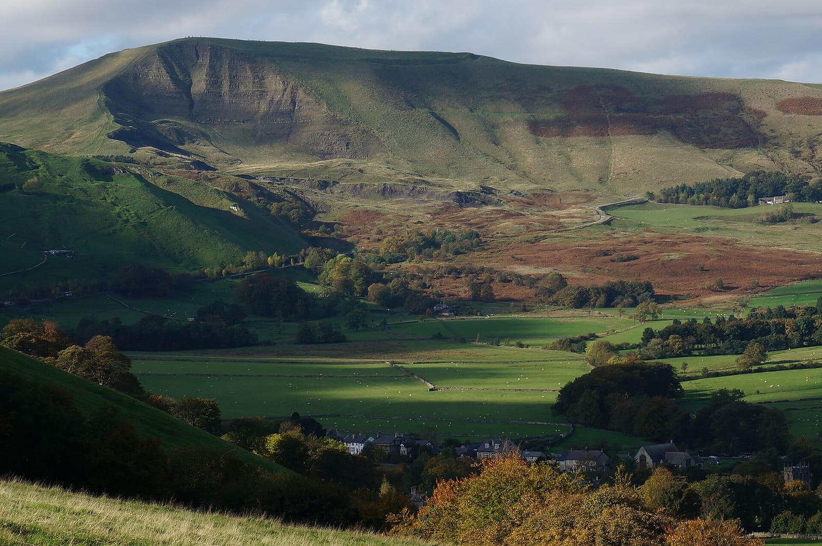
Castleton, Hope Valley & Edale
Show caves, a Norman castle and the start of the Pennine Way below Kinder Scout
Open the mini guide →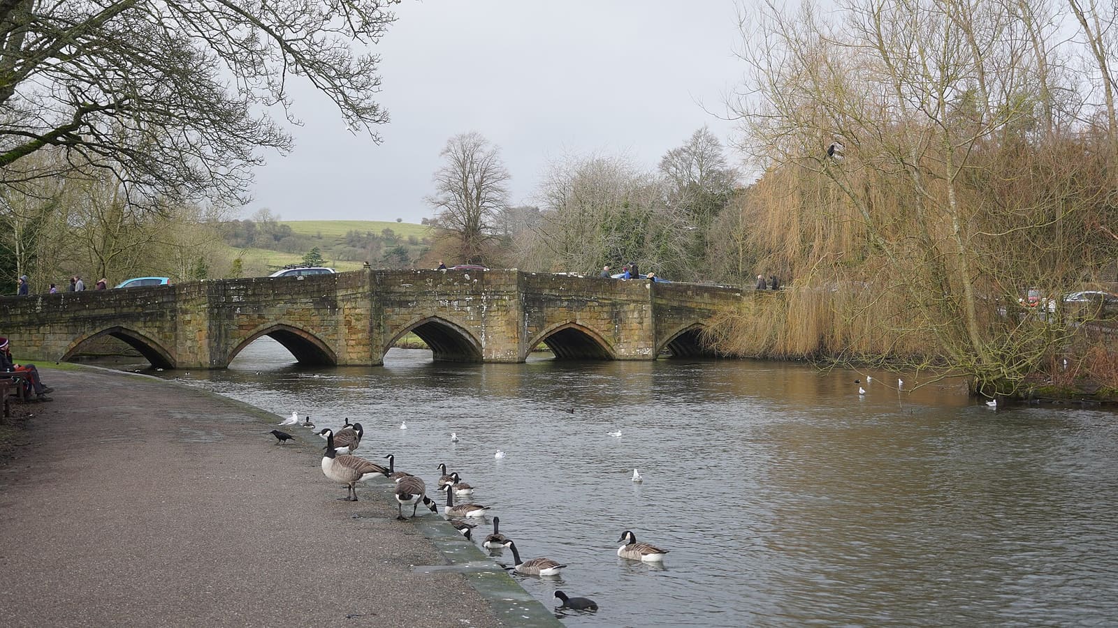
Bakewell, Haddon & Monsal
A market town on the Wye with Haddon Hall, Chatsworth nearby and the Monsal Trail
Open the mini guide →Photo credits
- St Lawrence's Church, Eyam: Michael Garlick, CC BY-SA 2.0, source
- Hathersage, Longshaw & Eyam (area photo): Neil Theasby, CC BY-SA 2.0, source
- Stanage Edge: Dave Pickersgill, CC BY-SA 2.0, source
- Hathersage: DAVID M GOODWIN, CC BY-SA 2.0, source
- Longshaw Estate: Robrocket82, CC BY 4.0, source
- Buxton & the Northern Peak: Eugene Birchall, CC BY-SA 2.0, source
- Castleton, Hope Valley & Edale: Peter Barr, CC BY-SA 2.0, source
- Bakewell, Haddon & Monsal: Kmtextor, CC BY-SA 4.0, source
- Matlock Bath, Matlock & the Derwent Valley: Janine Forbes., CC BY-SA 2.0, source
- Dovedale, Ashbourne & the White Peak South: Paul Albertella from Manchester, UK, CC BY 2.0, source
Photos from Wikimedia Commons, used under the licences shown. All photo credits
Keep exploring the Peak District