 English (UK)
 English (US)
 Français
 Deutsch
 Español
 Italiano
 Nederlands
 简体中文
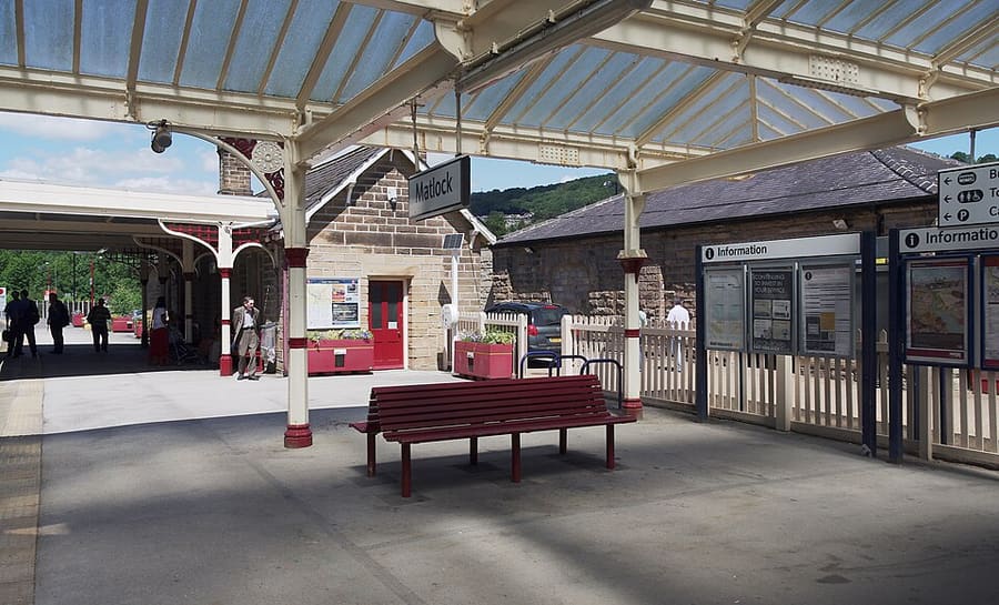
Una miniguía de
Matlock Bath, Matlock & the Derwent Valley: cómo llegar
Paradas, estaciones y cómo llegar a Matlock Bath, Matlock & the Derwent Valley
Paradas y estaciones
Cómo llegar a Matlock Bath, Matlock & the Derwent Valley
Elija la parada más cercana a su destino.
| Parada o estación | Servicios | Ideal para |
|---|---|---|
| Derwent Valley Line | East Midlands Railway | Visit Peak District indica que la línea conecta Derby, Nottingham y Lincoln con Matlock y da servicio a Cromford y Belper; Matlock Bath tiene su propia estación |
| Stagecoach Gold X17 | Stagecoach | Circula desde Sheffield y Chesterfield hasta Matlock Bath, Cromford y Wirksworth, según Visit Peak District; los horarios están en Stagecoach |
| Trentbarton 6.1 | Trentbarton | El servicio 6.1 continúa cada hora desde Belper hasta Wirksworth, Matlock Bath, Matlock y Bakewell, según Visit Peak District |
| Peak Rail | Peak Rail | Trenes de vapor y diésel históricos de Matlock a Rowsley South pasando por Darley Dale; consulte su calendario de funcionamiento |
Within walking range
Stations near Matlock Bath, Matlock & the Derwent Valley
Stations and stops mapped in OpenStreetMap within 2.5 km of the centre of Matlock Bath, Matlock & the Derwent Valley, nearest first. Distances are straight lines; walking times assume 5 km/h and are a minimum.
| Station or stop | Tipo | Distancia | A pie |
|---|---|---|---|
| Matlock Bath | Rail station (East Midlands Railway) | 400 m | about 4 min |
| Cromford | Rail station (East Midlands Railway) | 1.1 km | about 13 min |
| Matlock | Rail station (East Midlands Railway) | 2.0 km | about 24 min |
| Matlock Riverside | Heritage railway (Peak Rail) | 2.4 km | about 29 min |
Station data: © OpenStreetMap contributors (ODbL), read 25 October 2026. Check step-free access with the operator before you travel.
Walking from nearby areas
- Bakewell, Haddon & Monsal: 13.8 km from Matlock Bath, Matlock & the Derwent Valley, better by public transport
- Dovedale, Ashbourne & the White Peak South: 16.0 km from Matlock Bath, Matlock & the Derwent Valley, better by public transport
- Hathersage, Longshaw & Eyam: 21.8 km from Matlock Bath, Matlock & the Derwent Valley, better by public transport
- Castleton, Hope Valley & Edale: 29.1 km from Matlock Bath, Matlock & the Derwent Valley, better by public transport
Llegar al Peak District
Información oficial de viajes
El Peak District se extiende entre Manchester y Sheffield, al norte, y Derby, al sur. Visit Peak District recomienda usar el transporte público siempre que sea posible, y varias líneas y rutas de autobús llegan al parque. Los tiempos de viaje que figuran más abajo son los que indican sus páginas y las de Northern; consulte siempre a los operadores los horarios actuales.
- Visit Peak District: cómo llegar → — Visit Peak District & Derbyshire, el organismo de turismo de la zona
- Northern: el Peak District → — líneas de Hope Valley, Buxton y Glossop
- Peak District National Park Authority → — sitio oficial del parque; bloquea las solicitudes automáticas, por lo que no se consultó para esta guía
- Travel Derbyshire → — horarios del Peak District, Derbyshire y Derby
- National Rail → — horarios y billetes de tren
- Traveline → — planificador de viajes en autobús y autocar
Los horarios, tarifas e incidencias cambian: consulte las páginas de los operadores indicadas arriba para información en directo.
Planifique aquí su trayecto
Indique su punto de partida y Google Maps le mostrará rutas a Matlock Bath, Matlock & the Derwent Valley. Está seleccionado el transporte público; puede cambiarlo en el mapa. Consulte las webs de los operadores para ver incidencias en directo.
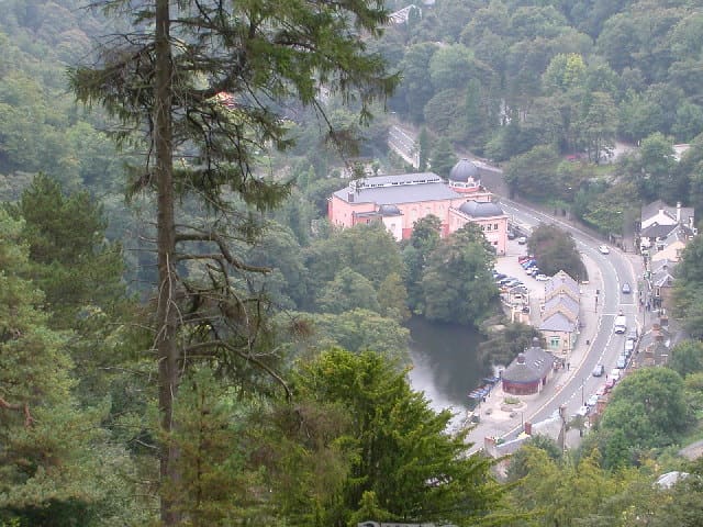
While you are here
Things to see in Matlock Bath, Matlock & the Derwent Valley
A few of the sights in the area. The Things to do page lists them all, with directions and official links.
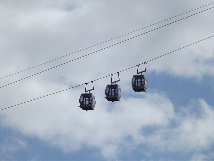
Heights of Abraham
Parque en lo alto de Masson Hill, al que se llega en teleférico, con visitas a cavernas y minas; abierto desde la época victoriana.
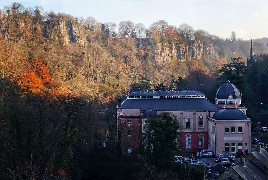
Peak District Mining Museum
Museo benéfico en el Grand Pavilion de Matlock Bath, con recreaciones de minas de plomo que los niños pueden explorar.
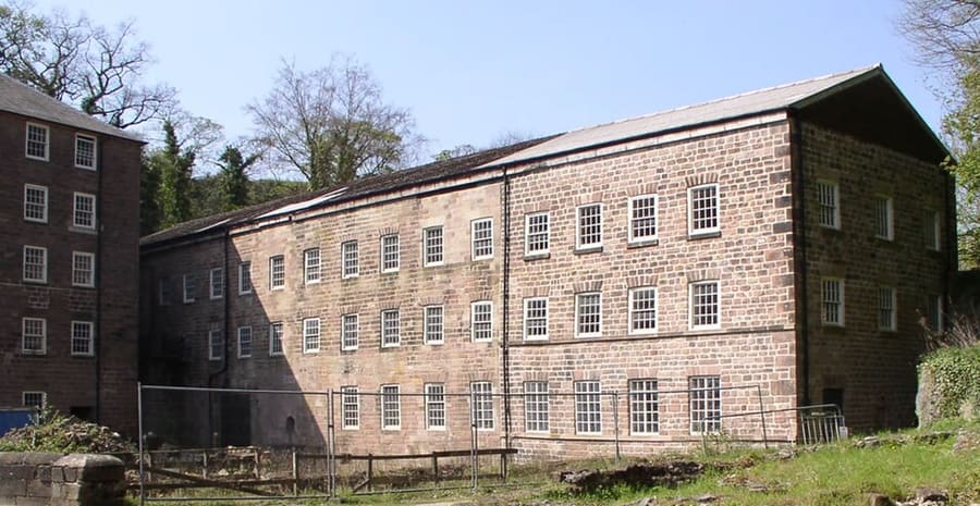
Cromford Mills
Fábrica de algodón de Richard Arkwright, de 1771 y movida por agua, la primera de su tipo, en el corazón del Patrimonio de la Humanidad.
The Peak District
More areas to explore
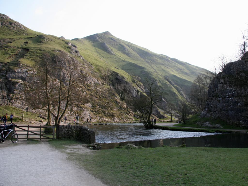
Dovedale, Ashbourne & the White Peak South
Las piedras del vado del River Dove, las antiguas vías de tren convertidas en rutas y la ciudad con mercado de Ashbourne
Abrir la miniguía →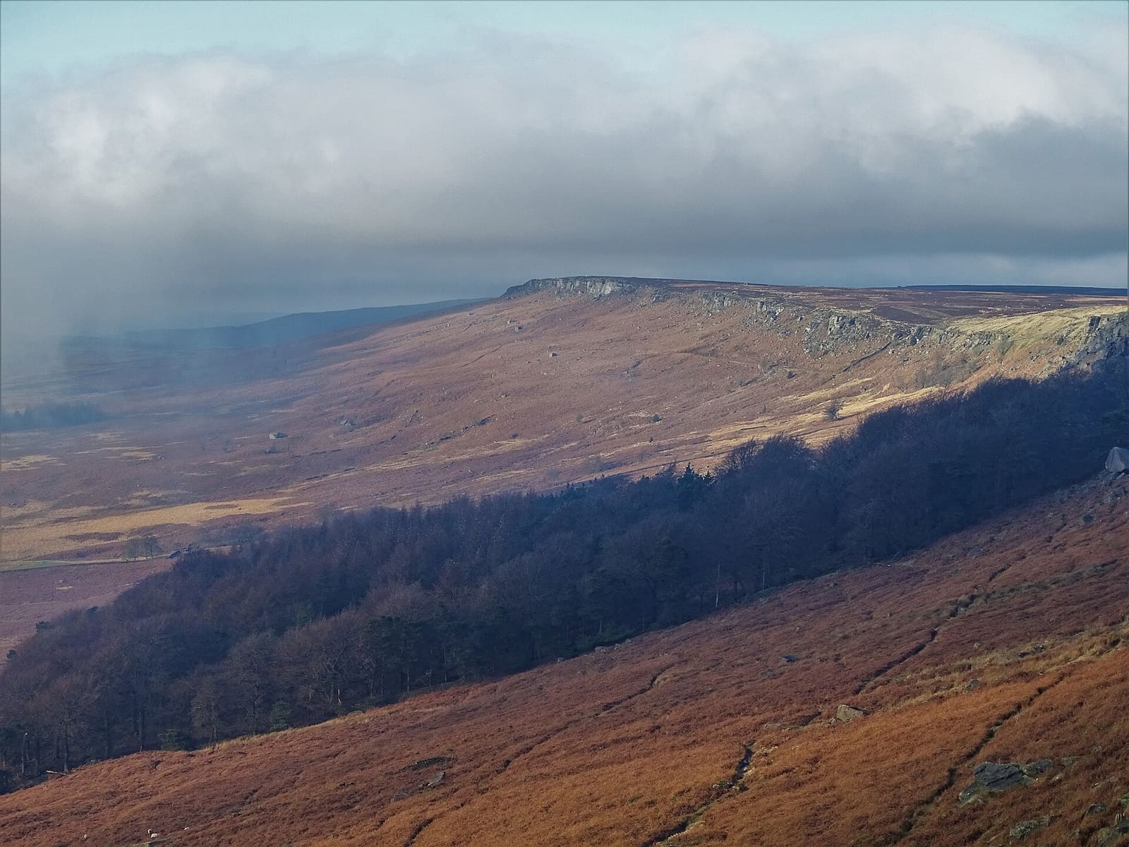
Hathersage, Longshaw & Eyam
Cantiles de gritstone, Padley Gorge y el pueblo de la peste de Eyam, en el lado oriental del Peak
Abrir la miniguía →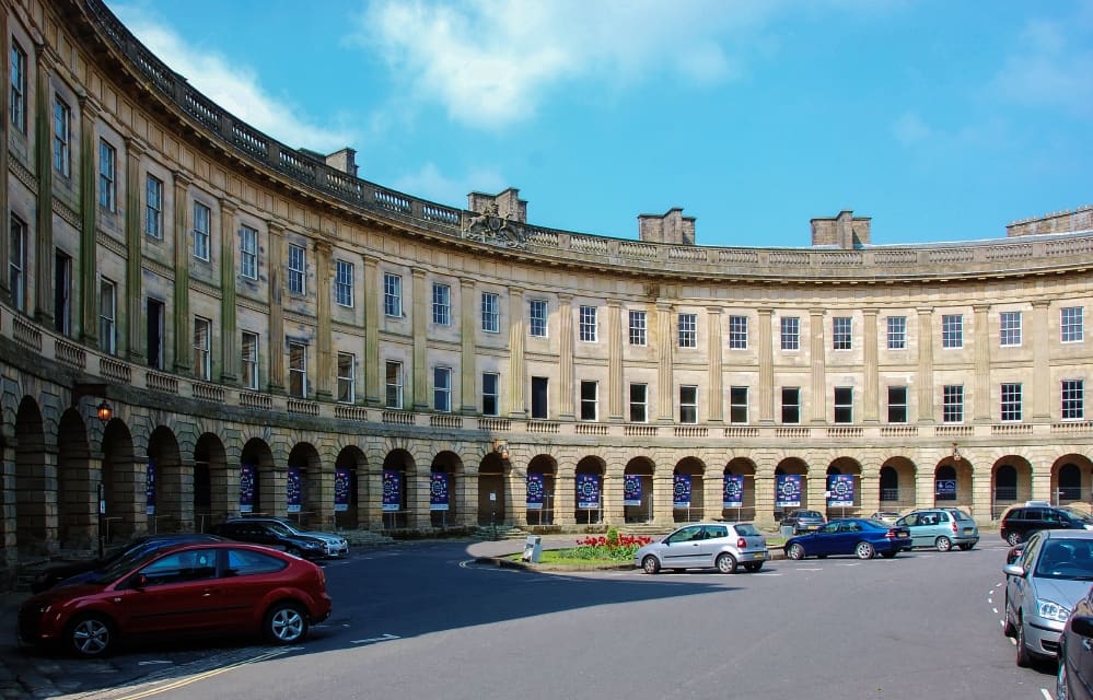
Buxton & the Northern Peak
Una ciudad balneario georgiana con ópera, una cueva visitable y el valle del Goyt a las puertas
Abrir la miniguía →Créditos fotográficos
- Peak Rail: mattbuck (category), CC BY-SA 3.0, source
- Matlock Bath, Matlock & the Derwent Valley (area photo): Janine Forbes., CC BY-SA 2.0, source
- Heights of Abraham: Elliott Brown from Birmingham, United Kingdom, CC BY-SA 2.0, source
- Peak District Mining Museum: Andy Stephenson, CC BY-SA 2.0, source
- Cromford Mills: chevin, Public domain, source
- Dovedale, Ashbourne & the White Peak South: Paul Albertella from Manchester, UK, CC BY 2.0, source
- Hathersage, Longshaw & Eyam: Neil Theasby, CC BY-SA 2.0, source
- Buxton & the Northern Peak: Eugene Birchall, CC BY-SA 2.0, source
- Castleton, Hope Valley & Edale: Peter Barr, CC BY-SA 2.0, source
- Bakewell, Haddon & Monsal: Kmtextor, CC BY-SA 4.0, source
Photos from Wikimedia Commons, used under the licences shown. All photo credits
Siga explorando el Peak District