 English (UK)
 English (US)
 Français
 Deutsch
 Español
 Italiano
 Nederlands
 简体中文
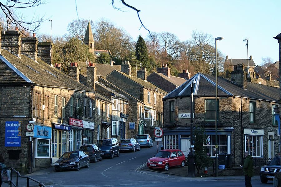
Ein Mini-Guide zu
Buxton & the Northern Peak: Anreise
Haltestellen, Stationen und Anreise: Buxton & the Northern Peak
Haltestellen und Stationen
Anreise nach Buxton & the Northern Peak
Wählen Sie die Haltestelle, die Ihrem Ziel am nächsten liegt.
| Haltestelle oder Station | Services | Gut für |
|---|---|---|
| Bahnhof Buxton | Nördlich | Northern betreibt die Strecke von Manchester Piccadilly nach Buxton; laut eigener Seite dauert die Fahrt durchschnittlich 1 Stunde 1 Minute. Von Buxton fahren Busse weiter in die Dörfer des White Peak und nach Bakewell. |
| High Peak 61 und 62 | High-Peak-Busse | Visit Peak District nennt die 61 ab Buxton für den High Peak und die 62 (Peak Pathfinder) ab Buxton in den Nationalpark; Abfahrtszeiten erfahren Sie beim Betreiber |
| High Peak 442 | High-Peak-Busse | Verkehrt laut Visit Peak District zwischen Ashbourne und Buxton; Fahrzeiten beim Betreiber erfragen |
| Whaley Bridge and the Goyt Valley | Nördlich | Visit Peak District beschreibt eine autofreie Tour durch das Goyt Valley mit dem Zug; die Strecke Manchester–Glossop erreicht auch New Mills |
Within walking range
Stations near Buxton & the Northern Peak
Stations and stops mapped in OpenStreetMap within 2.5 km of the centre of Buxton & the Northern Peak, nearest first. Distances are straight lines; walking times assume 5 km/h and are a minimum.
| Station or stop | Art | Entfernung | Zu Fuß |
|---|---|---|---|
| Buxton | Rail station (Northern) | 1.9 km | about 23 min |
Station data: © OpenStreetMap contributors (ODbL), read 25 October 2026. Check step-free access with the operator before you travel.
Walking from nearby areas
- Castleton, Hope Valley & Edale: 13.5 km from Buxton & the Northern Peak, better by public transport
- Bakewell, Haddon & Monsal: 18.2 km from Buxton & the Northern Peak, better by public transport
- Hathersage, Longshaw & Eyam: 19.7 km from Buxton & the Northern Peak, better by public transport
- Dovedale, Ashbourne & the White Peak South: 27.2 km from Buxton & the Northern Peak, better by public transport
Anreise in den Peak District
Offizielle Reiseinformationen
Der Peak District liegt zwischen Manchester und Sheffield im Norden und Derby im Süden. Visit Peak District empfiehlt wo möglich öffentliche Verkehrsmittel, und mehrere Bahn- und Buslinien erreichen den Park. Die Fahrzeiten unten entsprechen den Angaben auf den Seiten von Visit Peak District und Northern; prüfen Sie stets bei den Betreibern die aktuellen Zeiten.
- Visit Peak District: getting here → — Visit Peak District & Derbyshire, die regionale Tourismusorganisation
- Northern: the Peak District → — Strecken Hope Valley, Buxton und Glossop
- Peak District National Park Authority → — offizielle Website des Parks; sie blockiert automatisierte Abrufe und wurde daher für diesen Guide nicht gelesen
- Travel Derbyshire → — Fahrpläne für den Peak District, Derbyshire und Derby
- National Rail → — Zugzeiten und Tickets
- Traveline → — Bus- und Reisebus-Routenplaner
Zeiten, Preise und Störungen ändern sich: Aktuelle Informationen finden Sie auf den Seiten der Betreiber oben.
Fahrt hierher planen
Geben Sie Ihren Startpunkt ein, und Google Maps zeigt Ihnen Routen nach Buxton & the Northern Peak. Öffentliche Verkehrsmittel sind voreingestellt; Sie können das auf der Karte ändern. Aktuelle Störungen finden Sie auf den Websites der Betreiber.
While you are here
Things to see in Buxton & the Northern Peak
A few of the sights in the area. The Things to do page lists them all, with directions and official links.
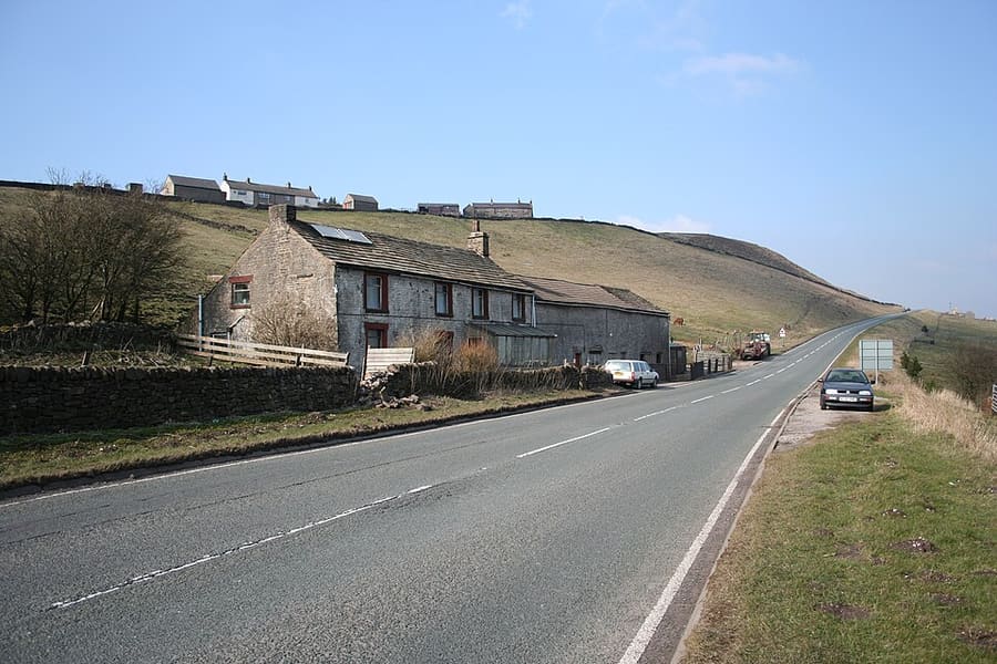
Axe Edge Moor
Ausgedehntes Gritstone-Hochmoor südwestlich von Buxton.
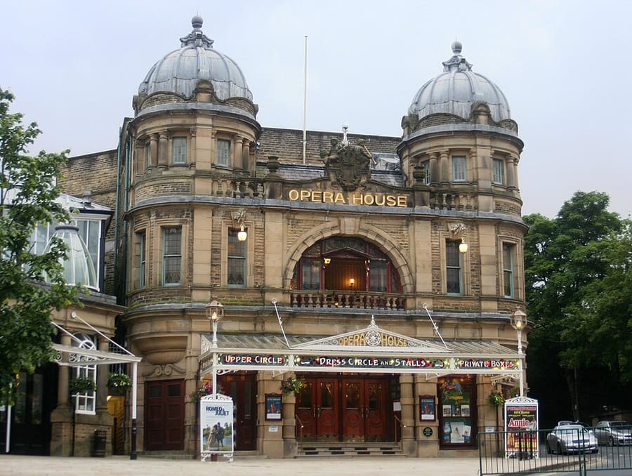
Buxton Opera House
Theater mit 902 Plätzen am The Square, Heimat des Buxton Festival und des International Gilbert and Sullivan Festival.
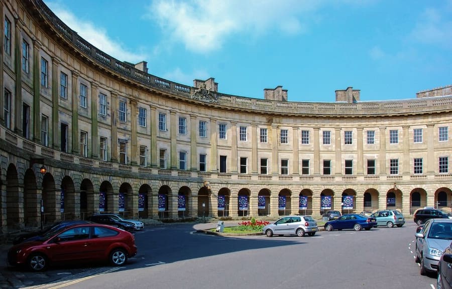
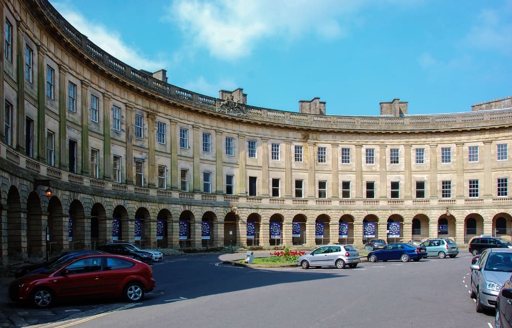
Buxton Crescent
Denkmalgeschützter Crescent (Grade I), von John Carr of York entworfen und zwischen 1780 und 1789 für den 5. Duke of Devonshire erbaut.
The Peak District
More areas to explore
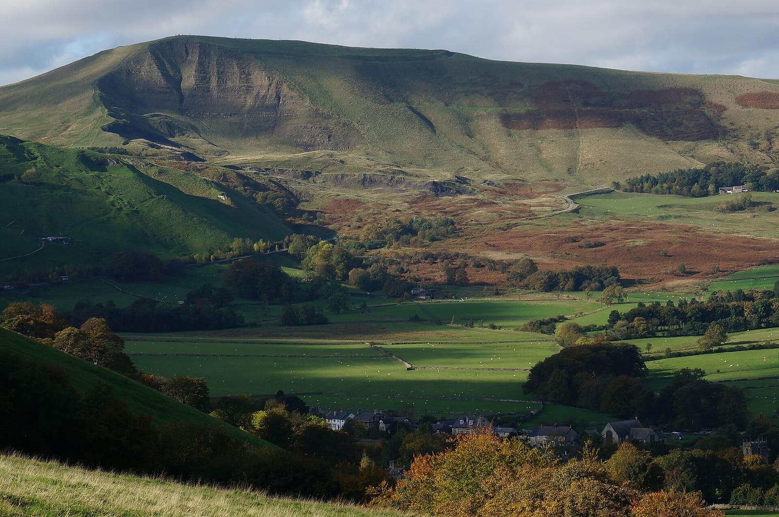
Castleton, Hope Valley & Edale
Schauhöhlen, eine normannische Burg und der Beginn des Pennine Way unterhalb von Kinder Scout
Mini-Guide öffnen →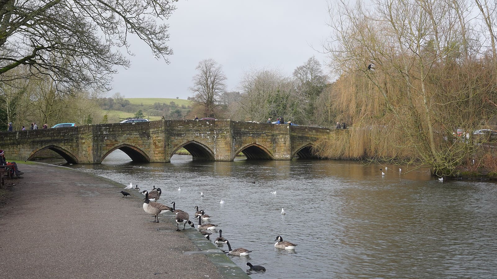
Bakewell, Haddon & Monsal
Ein Marktstädtchen am Wye mit Haddon Hall, Chatsworth in der Nähe und dem Monsal Trail
Mini-Guide öffnen →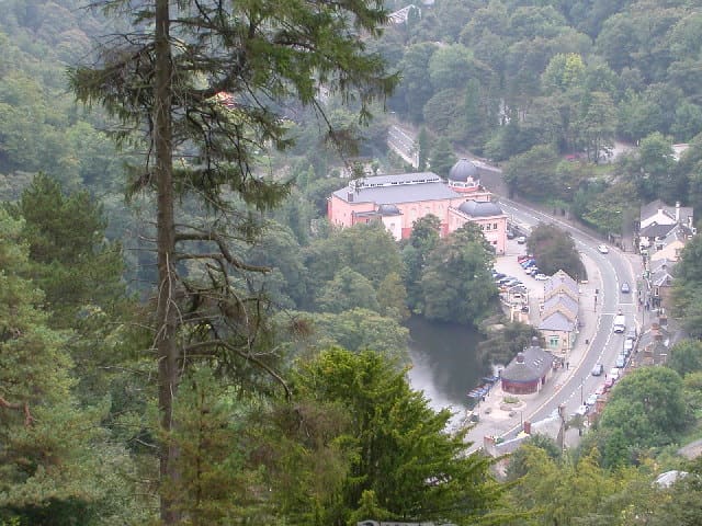
Matlock Bath, Matlock & the Derwent Valley
Ein Dorf in einer Schlucht mit Seilbahn und Arkwrights Mühlen in einem Tal des Weltkulturerbes
Mini-Guide öffnen →Fotonachweise
- Whaley Bridge: Dave.Dunford, CC BY-SA 3.0, source
- Buxton & the Northern Peak (area photo): Eugene Birchall, CC BY-SA 2.0, source
- Axe Edge Moor: Dave Dunford, CC BY-SA 2.0, source
- Buxton Opera House: Dave Pape, Public domain, source
- Buxton Crescent: Eugene Birchall, CC BY-SA 2.0, source
- Castleton, Hope Valley & Edale: Peter Barr, CC BY-SA 2.0, source
- Bakewell, Haddon & Monsal: Kmtextor, CC BY-SA 4.0, source
- Matlock Bath, Matlock & the Derwent Valley: Janine Forbes., CC BY-SA 2.0, source
- Dovedale, Ashbourne & the White Peak South: Paul Albertella from Manchester, UK, CC BY 2.0, source
- Hathersage, Longshaw & Eyam: Neil Theasby, CC BY-SA 2.0, source
Photos from Wikimedia Commons, used under the licences shown. All photo credits
Weiter entdecken: Peak District