 English (UK)
 English (US)
 Français
 Deutsch
 Español
 Italiano
 Nederlands
 简体中文
Directory
Counties and council areas
England's 48 ceremonial counties, Scotland's 32 council areas, Wales's 22 principal areas and Northern Ireland's 11 districts. 59 of the 113 overlap a Britlens guide. For the rest we show the nearest guide, measured in a straight line from a central point, so you can see how far away our coverage is.
England: ceremonial counties
33 of 48 overlap a guide. England at a glance.
| Ceremonial county | Statut | Our pages |
|---|---|---|
| Bedfordshire | No guide yet | Nearest guide: Cambridge, about 39 km |
| Berkshire | Guide available | Windsor day trip, Windsor guide |
| Bristol | Guide available | Guide de Bristol |
| Buckinghamshire | Guide available | Eton, Windsor |
| Cambridgeshire | Guide available | Guide de Cambridge |
| Cheshire | No guide yet | Nearest guide: Liverpool, about 38 km |
| City of London | Guide available | The City & Tower, Londres |
| Cornouailles | Guide available | Cornwall guide, Isles of Scilly guide |
| Cumbria | Guide available | Guide du Lake District |
| Derbyshire | Guide available | Guide du Peak District |
| Devon | Guide available | Seaton, Beer & Sidmouth, The Jurassic Coast, Devon guide, Lundy guide |
| Dorset | Guide available | Guide de la Côte jurassique |
| Durham | No guide yet | Nearest guide: Newcastle and Gateshead, about 37 km |
| East Riding of Yorkshire | No guide yet | Nearest guide: York, about 38 km |
| East Sussex | Guide available | Brighton day trip, Brighton & Hove guide, The South Downs guide, Lewes and the Seven Sisters, The South Downs |
| Essex | No guide yet | Nearest guide: London, about 56 km |
| Gloucestershire | Guide available | Guide des Cotswolds |
| Greater London | Guide available | Guide de Londres |
| Greater Manchester | Guide available | Guide de Manchester |
| Hampshire | Guide available | Portsmouth and Southampton guide, The New Forest guide, Lyndhurst and Brockenhurst, The New Forest, Beaulieu and Lymington, The New Forest |
| Herefordshire | No guide yet | Nearest guide: Hereford, about 4 km |
| Hertfordshire | No guide yet | Nearest guide: London, about 35 km |
| Isle of Wight | Guide planned | Planned: The Isle of Wight. Nearest guide: Portsmouth and Southampton, about 17 km |
| Kent | Guide available | Canterbury & Kent guide |
| Lancashire | No guide yet | Nearest guide: Blackpool and the Lancashire coast, about 30 km |
| Leicestershire | No guide yet | Nearest guide: Leicester, about 5 km |
| Lincolnshire | No guide yet | Nearest guide: Lincoln, about 27 km |
| Merseyside | Guide available | Guide de Liverpool |
| Norfolk | Guide available | Norfolk and the Broads guide |
| North Yorkshire | Guide available | York guide, Yorkshire guide, Whitby & Robin Hood's Bay, Yorkshire, Scarborough, Yorkshire, Harrogate & Knaresborough, Yorkshire, North York Moors, Yorkshire, Yorkshire Dales, Yorkshire |
| Northamptonshire | No guide yet | Nearest guide: Leicester, about 43 km |
| Northumberland | Guide available | Lindisfarne (Holy Island) guide |
| Nottinghamshire | Guide available | Nottingham guide |
| Oxfordshire | Guide available | Oxford guide, Burford, The Cotswolds |
| Rutland | No guide yet | Nearest guide: Leicester, about 27 km |
| Shropshire | Guide available | Ironbridge Gorge guide |
| Somerset | Guide available | Bath guide, Exmoor & Lynmouth, Devon |
| South Yorkshire | Guide available | Sheffield guide |
| Staffordshire | Guide available | Dovedale, Ashbourne & the White Peak South, le Peak District |
| Suffolk | No guide yet | Nearest guide: Cambridge, about 60 km |
| Surrey | No guide yet | Nearest guide: Windsor, about 28 km |
| Tyne and Wear | Guide available | Newcastle and Gateshead guide, Tynemouth, Newcastle and Gateshead |
| Warwickshire | Guide available | Stratford & Warwickshire guide, Stratford-upon-Avon, Stratford & Warwickshire, Warwick, Stratford & Warwickshire, Royal Leamington Spa, Stratford & Warwickshire, Kenilworth, Stratford & Warwickshire |
| West Midlands | Guide available | Birmingham guide |
| West Sussex | Guide available | The South Downs guide, Midhurst and Petworth, The South Downs |
| West Yorkshire | Guide available | Leeds guide |
| Wiltshire | Guide available | Stonehenge day trip, Salisbury & Stonehenge guide, Salisbury and Old Sarum, Salisbury & Stonehenge, Stonehenge and Amesbury, Salisbury & Stonehenge, Avebury and Marlborough, Salisbury & Stonehenge |
| Worcestershire | Guide available | Broadway, les Cotswolds |
Scotland: council areas
12 of 32 overlap a guide. Scotland at a glance.
| Council area | Statut | Our pages |
|---|---|---|
| Aberdeen City | Guide available | Aberdeen city, Aberdeen and Aberdeenshire |
| Aberdeenshire | Guide available | Royal Deeside, Aberdeen and Aberdeenshire, Stonehaven and Dunnottar, Aberdeen and Aberdeenshire |
| Angus | No guide yet | Nearest guide: St Andrews and Fife, about 37 km |
| Argyll and Bute | Guide available | Oban, Argyll & the Mull ferry, The Scottish Highlands, Mull and Iona guide, Islay and Jura guide, Isle of Bute guide |
| City of Edinburgh | Guide available | Guide d'Édimbourg |
| Clackmannanshire | No guide yet | Nearest guide: Stirling and the Trossachs, about 13 km |
| Dumfries and Galloway | No guide yet | Nearest guide: Glasgow, about 88 km |
| Dundee City | No guide yet | Nearest guide: St Andrews and Fife, about 17 km |
| East Ayrshire | No guide yet | Nearest guide: Glasgow, about 40 km |
| East Dunbartonshire | No guide yet | Nearest guide: Glasgow, about 9 km |
| East Lothian | No guide yet | Nearest guide: Edinburgh, about 28 km |
| East Renfrewshire | No guide yet | Nearest guide: Glasgow, about 7 km |
| Falkirk | No guide yet | Nearest guide: Stirling and the Trossachs, about 18 km |
| Fife | Guide available | St Andrews and Fife guide, St Andrews, St Andrews and Fife, East Neuk, St Andrews and Fife, Dunfermline and the Forth, St Andrews and Fife |
| Glasgow City | Guide available | Guide de Glasgow |
| Highland | Guide available | The Scottish Highlands guide, North Coast 500 guide |
| Inverclyde | No guide yet | Nearest guide: Isle of Bute, about 21 km |
| Midlothian | No guide yet | Nearest guide: Edinburgh, about 10 km |
| Moray | No guide yet | Nearest guide: Aberdeen and Aberdeenshire, about 76 km |
| Na h-Eileanan Siar (Western Isles) | Guide available | The Outer Hebrides guide |
| North Ayrshire | Guide available | Isle of Arran guide |
| North Lanarkshire | No guide yet | Nearest guide: Glasgow, about 22 km |
| Orkney | Guide available | Orkney guide |
| Perth and Kinross | No guide yet | Nearest guide: St Andrews and Fife, about 40 km |
| Renfrewshire | No guide yet | Nearest guide: Glasgow, about 18 km |
| Scottish Borders | No guide yet | Nearest guide: Lindisfarne (Holy Island), about 53 km |
| Shetland Islands | Guide available | Shetland guide |
| South Ayrshire | No guide yet | Nearest guide: Isle of Arran, about 47 km |
| South Lanarkshire | No guide yet | Nearest guide: Glasgow, about 42 km |
| Stirling | Guide available | Stirling and the Trossachs guide |
| West Dunbartonshire | No guide yet | Nearest guide: Glasgow, about 21 km |
| West Lothian | No guide yet | Nearest guide: Edinburgh, about 20 km |
Wales: principal areas
9 of 22 overlap a guide. Wales at a glance.
| Principal area | Statut | Our pages |
|---|---|---|
| Blaenau Gwent | No guide yet | Nearest guide: Cardiff, about 33 km |
| Bridgend | No guide yet | Nearest guide: Cardiff, about 30 km |
| Caerphilly | No guide yet | Nearest guide: Cardiff, about 19 km |
| Cardiff | Guide available | Cardiff guide, Cardiff (Caerdydd) & the Bay, Wales |
| Carmarthenshire | No guide yet | Nearest guide: Wales, about 60 km |
| Ceredigion | No guide yet | Nearest guide: Wales, about 15 km |
| Conwy | Guide available | Conwy, Llandudno et les châteaux de la côte nord, pays de Galles |
| Denbighshire | Guide available | Llangollen and Pontcysyllte guide |
| Flintshire | No guide yet | Nearest guide: Liverpool, about 23 km |
| Gwynedd | Guide available | Eryri (Snowdonia), pays de Galles |
| Isle of Anglesey | Guide available | Anglesey guide |
| Merthyr Tydfil | No guide yet | Nearest guide: Cardiff, about 33 km |
| Monmouthshire | No guide yet | Nearest guide: Cardiff, about 31 km |
| Neath Port Talbot | No guide yet | Nearest guide: Cardiff, about 43 km |
| Newport | No guide yet | Nearest guide: Cardiff, about 17 km |
| Pembrokeshire | Guide available | Pembrokeshire Coast (St Davids & Tenby), pays de Galles |
| Powys | Guide available | Bannau Brycheiniog (Brecon Beacons), pays de Galles |
| Rhondda Cynon Taf | No guide yet | Nearest guide: Cardiff, about 26 km |
| Swansea | Guide available | Gower et Swansea (Abertawe), pays de Galles |
| The Vale of Glamorgan | No guide yet | Nearest guide: Cardiff, about 17 km |
| Torfaen | No guide yet | Nearest guide: Cardiff, about 28 km |
| Wrexham | Guide available | Llangollen and Pontcysyllte guide |
Northern Ireland: local government districts
5 of 11 overlap a guide. Northern Ireland at a glance.
| Local government district | Statut | Our pages |
|---|---|---|
| Antrim and Newtownabbey | No guide yet | Nearest guide: Northern Ireland, about 35 km |
| Ards and North Down | No guide yet | Nearest guide: Northern Ireland, about 72 km |
| Armagh City, Banbridge and Craigavon | No guide yet | Nearest guide: Northern Ireland, about 37 km |
| Belfast | Guide available | Belfast city centre & Cathedral Quarter, Northern Ireland, Titanic Quarter & East Belfast, Northern Ireland |
| Causeway Coast and Glens | Guide available | The Causeway Coast, l’Irlande du Nord |
| Derry City and Strabane | Guide available | Derry~Londonderry, Irlande du Nord |
| Fermanagh and Omagh | Guide available | Fermanagh Lakelands, l’Irlande du Nord |
| Lisburn and Castlereagh | No guide yet | Nearest guide: Northern Ireland, about 52 km |
| Mid and East Antrim | No guide yet | Nearest guide: Northern Ireland, about 47 km |
| Mid Ulster | No guide yet | Nearest guide: Northern Ireland, about 5 km |
| Newry, Mourne and Down | Guide available | The Mournes & Newcastle, l’Irlande du Nord |
Sources
Area lists come from the Wikipedia pages below, read on 2026-11-01. "Overlaps a guide" means one of our guides or area pages lies at least partly inside it; it does not mean the whole area is covered.
- Wikipedia: Ceremonial counties of England (opens in new tab). The 48 lieutenancy areas. Checked on 2026-11-01.
- Wikipedia: Council areas of Scotland (opens in new tab). The 32 council areas. Checked on 2026-11-01.
- Wikipedia: Principal areas of Wales (opens in new tab). The 22 principal areas. Checked on 2026-11-01.
- Wikipedia: Local government in Northern Ireland (opens in new tab). The 11 local government districts. Checked on 2026-11-01.
- Wikipedia API (prop=coordinates) (opens in new tab). A representative point for each area, used only to find the nearest guide. Checked on 2026-11-01.
Crédits photos
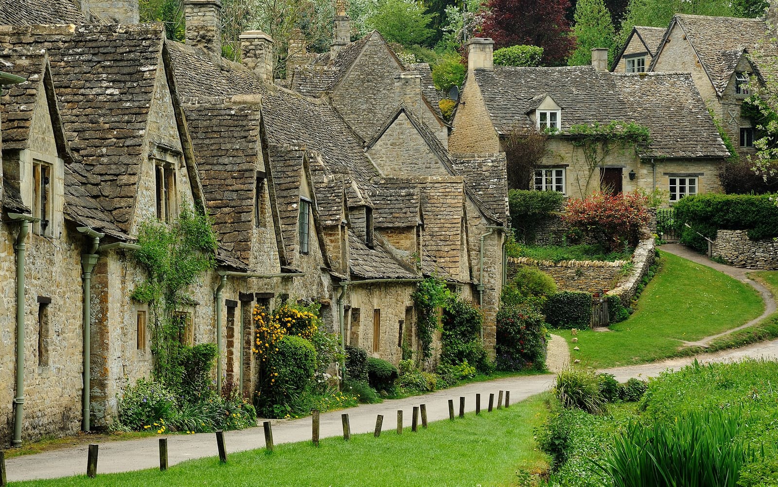
- The Cotswolds: Saffron Blaze, CC BY-SA 3.0, source
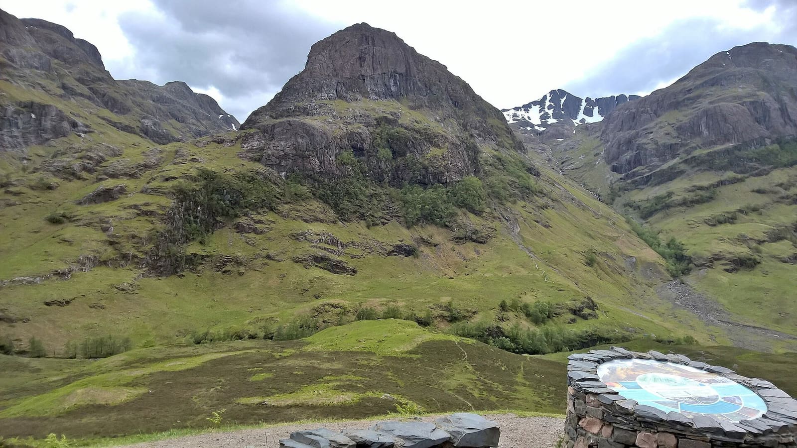
- The Scottish Highlands: Chris Morgan, CC BY-SA 2.0, source
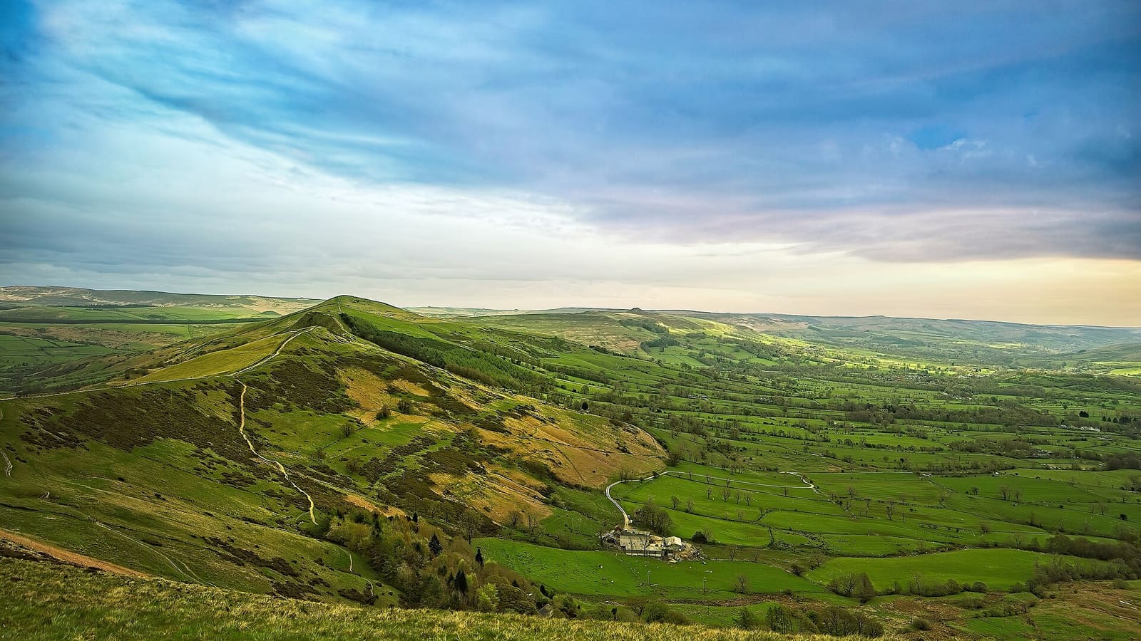
- The Peak District: mendhak, CC BY-SA 2.0, source
Photos from Wikimedia Commons, used under the licences shown. All photo credits