 English (UK)
 English (US)
 Français
 Deutsch
 Español
 Italiano
 Nederlands
 简体中文
Point de vue
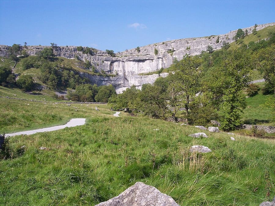
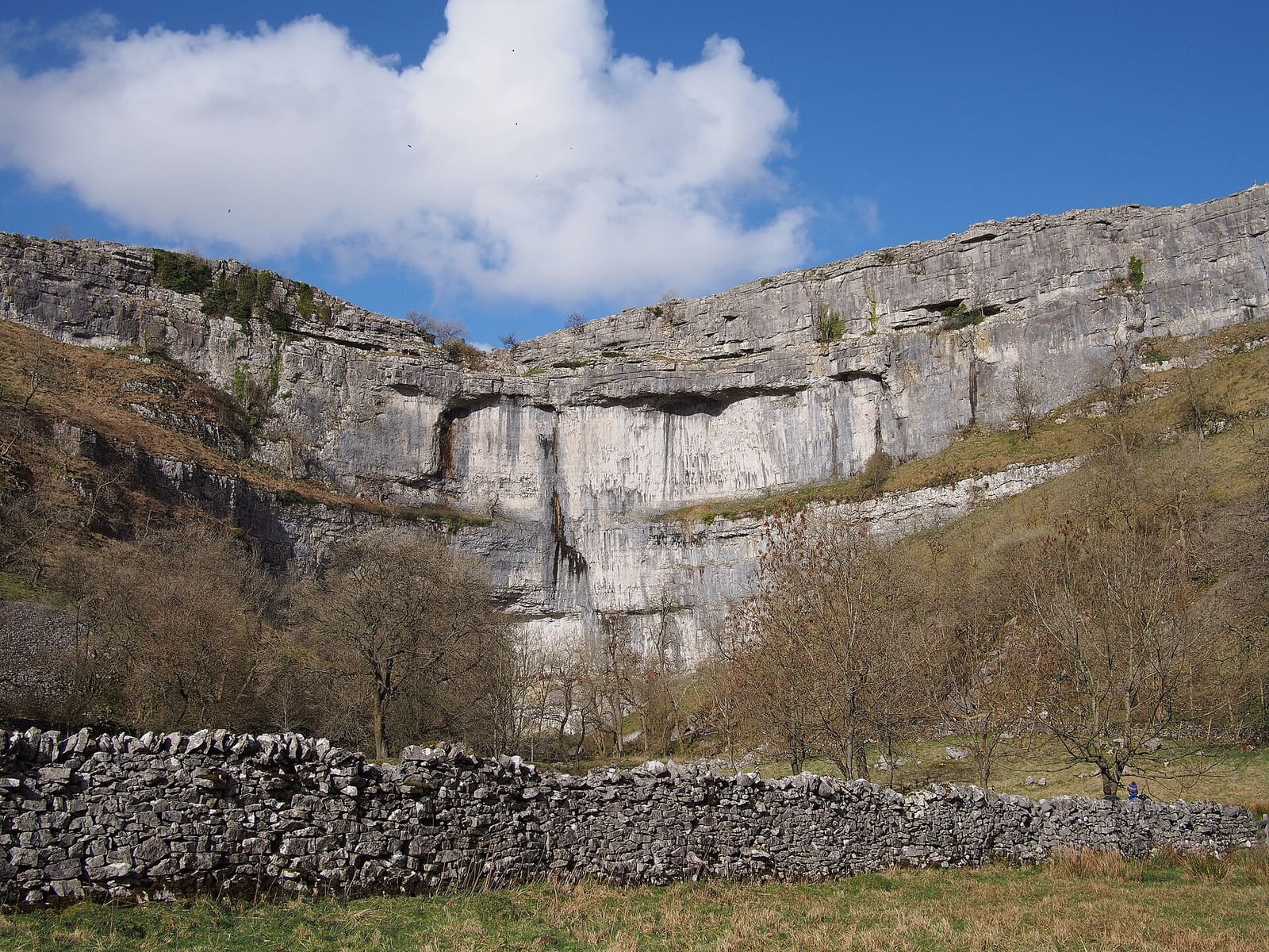
Malham Cove
Curved limestone cliff a kilometre north of Malham, formed by a meltwater waterfall after the last Ice Age, with limestone pavement on top.
Un mini-guide de
Limestone country: Malham, Wharfedale, Wensleydale and the Three Peaks
 1 / 10
Bienvenue dans le quartier
The Yorkshire Dales National Park was designated in 1954 and has covered 2,178 km² since 2016. The park authority counts over 8,000 km of drystone walls, 6,000 field barns and half the country's limestone pavements, and the most extensive caving area in the UK lies under its hills.
Skipton, with its castle, is the southern gateway. North of it are Malham Cove and Gordale Scar, Grassington in Wharfedale and Bolton Abbey on the Wharfe; further north, Hawes and Aysgarth in Wensleydale. To the west the Settle–Carlisle railway crosses Ribblehead Viaduct below Whernside, Ingleborough and Pen-y-ghent, the Three Peaks.
Points forts
Si vous n'avez que quelques heures, voici de bons endroits pour commencer.
Curved limestone cliff a kilometre north of Malham, formed by a meltwater waterfall after the last Ice Age, with limestone pavement on top.
Limestone ravine with two waterfalls and overhanging cliffs over 100 metres high, north-east of Malham.
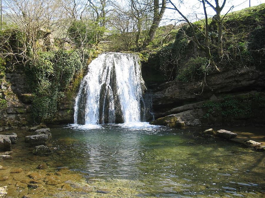
Small waterfall near Malham where Gordale Beck drops over a tufa-topped ledge into a deep pool.
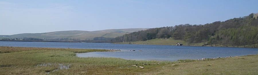
Glacial lake at 377 metres, the highest marl lake in the UK; owned by the National Trust.
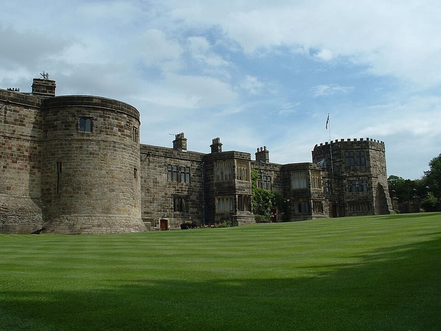
Grade I listed medieval castle at the top of the High Street, begun in 1090; still a private home.
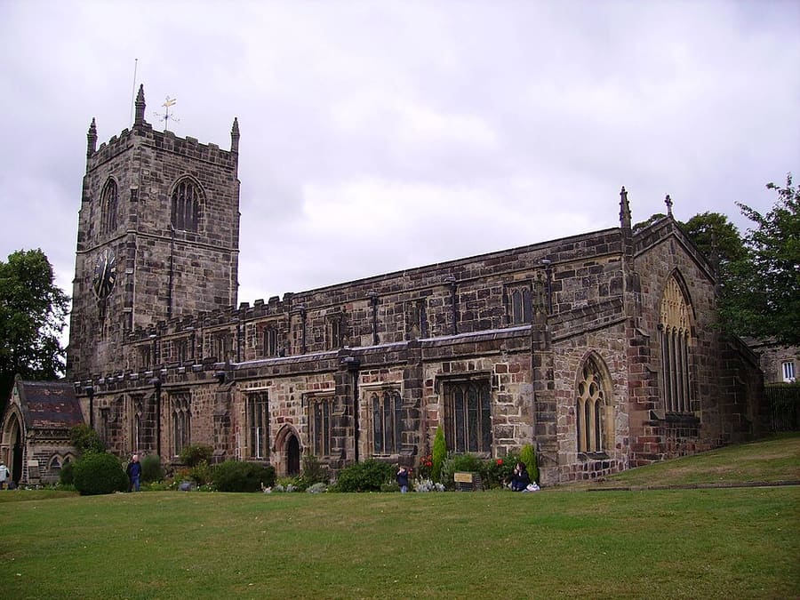
Grade I listed medieval parish church on Skipton High Street, next to the castle.
Itinéraire Signaler un problème concernant Holy Trinity Church
S'orienter
The map shows Yorkshire Dales and the streets around it. The Getting there page lists nearby stops and stations.
Bons plans d'initiés
The park authority says its Malham, Horton-in-Ribblesdale and Aysgarth Falls car parks tend to be the busiest; have a back-up plan.
Settle–Carlisle line stations such as Horton-in-Ribblesdale, Ribblehead, Dent and Garsdale are the start of many walks.
Janet's Foss, Gordale Scar and Malham Cove are all within a short distance of Malham village and can be linked on foot.
The park publishes 'Miles without Stiles' routes for wheelchair users and people with pushchairs.
Les conseils de la rédaction d'Britlens
Yorkshire
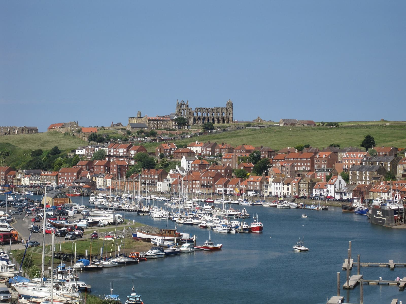
Harbour town at the mouth of the Esk, with the abbey, Captain Cook and Dracula
Ouvrir le mini-guide →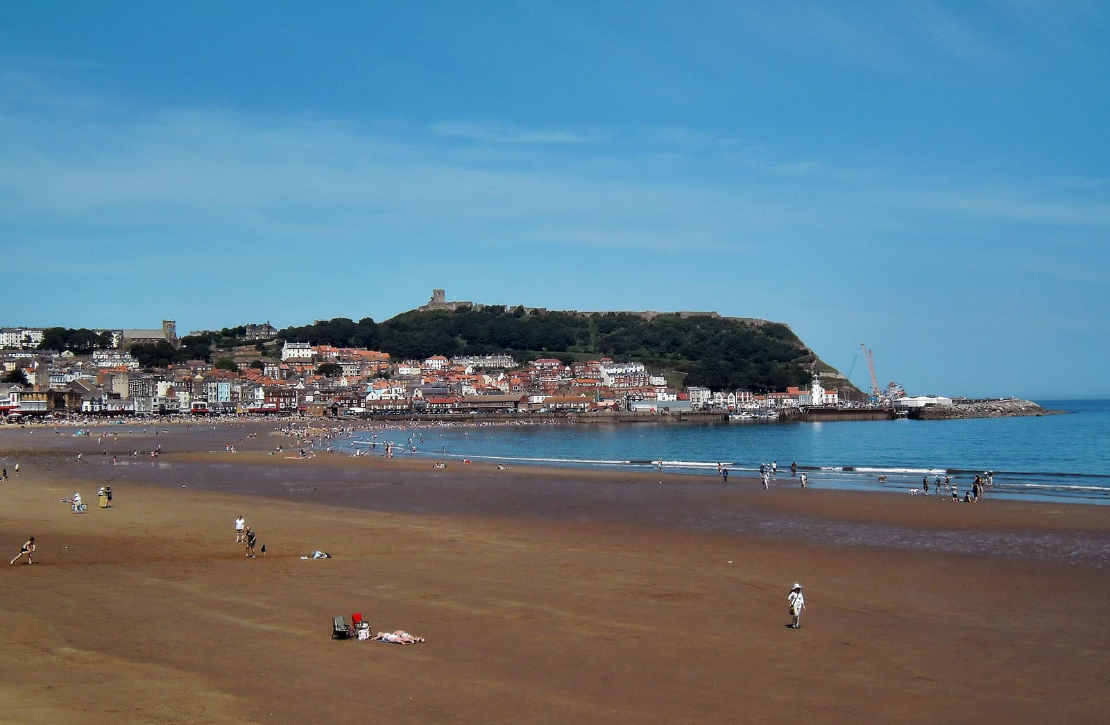
Two sandy bays, a castle headland and the resort that grew from a spa
Ouvrir le mini-guide →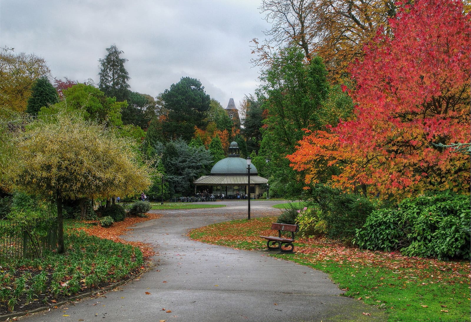
Victorian spa town with gardens and baths, and the Nidd gorge at Knaresborough
Ouvrir le mini-guide →Photos from Wikimedia Commons, used under the licences shown. All photo credits
Keep exploring Yorkshire