 English (UK)
 English (US)
 Français
 Deutsch
 Español
 Italiano
 Nederlands
 简体中文
Good without a car Our reading of the sources below, not an official rating.
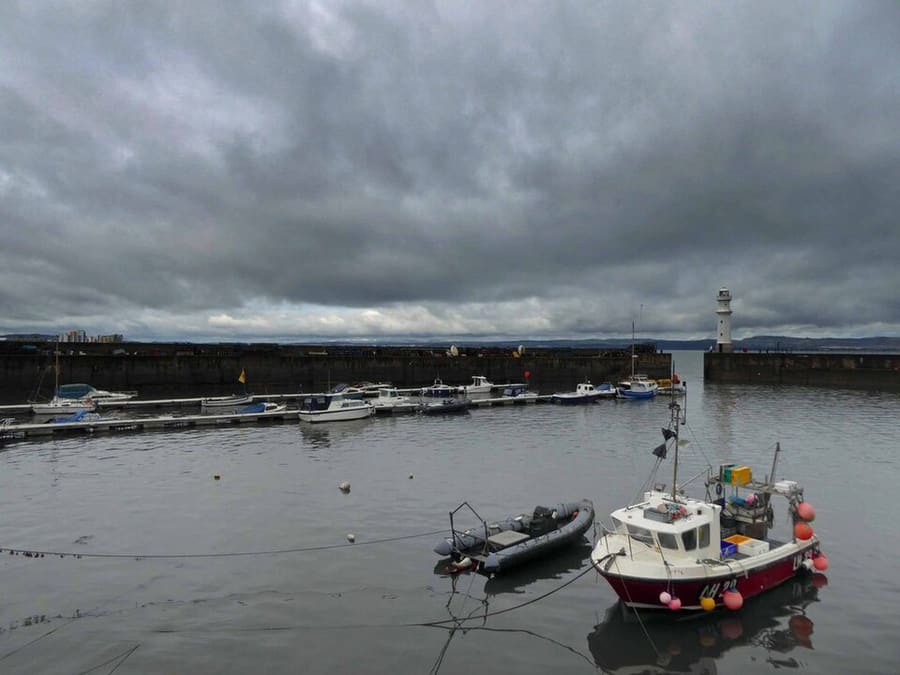

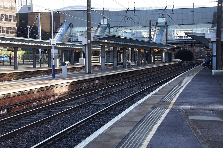


Stations, bridges and harbours from our guide where we hold a photo; each links to the area page that lists it.
Paying for local transport in Edinburgh
Lothian Buses and Edinburgh Trams
- Lothian lists contactless on bus with "TapTapCap", described as "contactless payments with daily and weekly capping", Ridacards (valid on all services), the M-Ticket app, and cash with exact fares.Source: Lothian Buses (opens in new tab).
- Lothian describes Airlink as "24/7 departures between Edinburgh Airport and the City Centre" with a "30-minute journey" and contactless payments available.Source: Lothian Buses (opens in new tab).
- Lothian’s fares page (read Nov 1, 2026) says TapTapCap works out the cheapest adult daily or weekly fare when you use the same contactless card or device, that up to three children under 5 travel free with a fare-paying passenger, and that standard Lothian day tickets and caps are not valid on Airlink to the airport.Source: Lothian Buses (opens in new tab), checked Nov 1, 2026.
ScotRail (Scotland’s trains).ScotRail runs most trains within Scotland. Its tickets page refused automated access, so check ticket types and any Scotland-only offers on its site.ScotRail tickets (opens in new tab)
Without a car
Getting here
By air
Edinburgh Airport is about 5 miles (8 km) west of the city center. The trams and Lothian's Airlink bus both quote a journey time of around 30 minutes to the center. 1
Edinburgh Airport transport (opens in new tab) · Airlink airport buses (opens in new tab)
By tram
Edinburgh Trams run between the airport and Newhaven via Haymarket, Princes Street, St Andrew Square (for Waverley) and Leith. 2
By train
Trains arrive at Edinburgh Waverley, in the middle of the city, and at Haymarket to the west. Operators include LNER, TransPennine Express, Avanti West Coast, Caledonian Sleeper and ScotRail. 3
National Rail (opens in new tab) · LNER (opens in new tab) · ScotRail (opens in new tab)
By coach
Edinburgh Bus Station is in the city center. National Express and Megabus serve it, and Traveline Scotland lists schedules for Scottish services. 4
National Express (opens in new tab) · Traveline Scotland (opens in new tab)
Once you are there
Walk the center
The Old Town and New Town are compact, but the Old Town is steep and cobbled in places. Allow extra time for hills and stairs.
Buses and trams
Lothian Buses and Edinburgh Trams accept contactless payment. Lothian says adults who tap the same card or device each time are charged no more than the cheapest daily fare. 5
Access information
Check access before you travel: Visit Edinburgh has a disabled access guide, and each tram has two spaces for wheelchairs and mobility scooters. 6
Stops near each area
From our area guides (Edinburgh): the stations and stops listed for each base. See each area's Getting there page for more.
Old Town & Royal Mile
- Edinburgh Waverley: ScotRail, LNER and other operators. The main railway station, at the foot of the Old Town
- St Andrew Square: Edinburgh Trams. The tram stop labeled "for Waverley"; a short walk to the Royal Mile
- Princes Street: Edinburgh Trams. For the Mound and the way up to the Castle
- Edinburgh Bus Station: National Express, Megabus and other coaches. Coaches arrive in the city center, a short walk from the Old Town
New Town
- Edinburgh Waverley: ScotRail, LNER and other operators. The main station, at the east end of Princes Street Gardens
- Haymarket: ScotRail and Edinburgh Trams. Rail and tram stop at the west end of the New Town
- St Andrew Square: Edinburgh Trams. Tram stop for George Street and Waverley
- Princes Street: Edinburgh Trams. Tram stop for the galleries and the gardens
- West End: Edinburgh Trams. Tram stop for Charlotte Square and the west New Town
- Edinburgh Bus Station: National Express, Megabus and other coaches. Coaches arrive just off St Andrew Square
Holyrood, Arthur's Seat & Calton Hill
- Waverley: ScotRail, LNER and other operators. The nearest main station; walk down the Royal Mile or to Calton Hill
- St Andrew Square: Edinburgh Trams. For Waverley, Calton Hill and the walk to Holyrood
- Picardy Place: Edinburgh Trams. The closest tram stop for the foot of Calton Hill
- Edinburgh Bus Station: National Express, Megabus and other coaches. About a 15 minute walk to Calton Hill
Stockbridge & Dean Village
- Haymarket: ScotRail and Edinburgh Trams. The nearest rail and tram stop for Dean Village, about 15 minutes on foot
- West End: Edinburgh Trams. Tram stop for the walk to Dean Village via Dean Bridge
- Edinburgh Waverley: ScotRail, LNER and other operators. The main station; allow about 30 minutes on foot or take a bus
- Lothian Buses: City bus routes. Services link the city center with Stockbridge and the galleries; check the operator for routes
Leith & the Waterfront
- The Shore: Edinburgh Trams. Tram stop beside the waterfront restaurants
- Foot of the Walk: Edinburgh Trams. Tram stop at the bottom of Leith Walk
- Port of Leith: Edinburgh Trams. Tram stop for the docks and the northern waterfront
- Ocean Terminal: Edinburgh Trams. Tram stop for the Royal Yacht Britannia
- Newhaven: Edinburgh Trams. The terminus, beside Newhaven Harbour
Grassmarket & Southside
- Edinburgh Waverley: ScotRail, LNER and other operators. The main station; allow about 15 minutes on foot, uphill
- Haymarket: ScotRail and Edinburgh Trams. Rail and tram stop on the west side of the center
- Princes Street: Edinburgh Trams. Closest tram stop for the climb up to the Old Town
- Edinburgh Bus Station: National Express, Megabus and other coaches. Coaches arrive in the city center, about 20 minutes on foot
Haymarket & Murrayfield
- Haymarket: ScotRail and Edinburgh Trams. Second largest station in Edinburgh, with trains to Fife and Glasgow and the tram to the airport
- West End: Edinburgh Trams. Tram stop for the Usher Hall and the theaters
- Murrayfield Stadium: Edinburgh Trams. Tram stop beside the national stadium
- Lothian Buses: City bus routes. Routes run along Lothian Road, Dalry Road and Corstorphine Road; check the operator for services to the zoo
Bruntsfield & Morningside
- Edinburgh Waverley: ScotRail, LNER and others. Main city station; take a bus or taxi south, as there is no rail or tram stop in Morningside
- Lothian Buses: City bus routes. Services run south from the center along Bruntsfield Place and Morningside Road; check Lothian Buses for routes
- Haymarket: ScotRail and Edinburgh Trams. Nearest tram stop for the west end of Bruntsfield; check the walk before you travel
Portobello & the Coast
- Portobello High Street: Lothian Buses. Several Lothian bus routes serve the High Street; check Lothian Buses for routes and times
- Brunstane: ScotRail. Station south of Joppa; check ScotRail for services and the walk to the sea
- Edinburgh Waverley: ScotRail, LNER and others. Main city station; Portobello is about 3.1 miles (5 km) east of the city center
No schedules or fares are copied here: check the operator or Traveline for the day you travel. Taxis and ride-hailing apps operate in most towns, but we have no sourced coverage data for rural areas, so do not count on one at short notice.
With a car
Low Emission Zone
The City of Edinburgh Council says it has issued fines for vehicles that do not meet the standard since Jun 1, 2024. The zone runs 24 hours a day, 365 days a year and is enforced by number plate cameras. The national standard for cars is gas Euro 4 or higher and diesel Euro 6 or higher (mygov.scot). The online checker cannot check vehicles registered outside the UK; mygov.scot suggests the vehicle manual, the manufacturer or your national vehicle authority. You cannot prepay a fine. 7,8,9
Zones to check
| Zone | When | Cars | Amount | Official page |
|---|---|---|---|---|
| Edinburgh Low Emission Zone 7,8,9 | 24 hours a day, 365 days a year. Fines issued since Jun 1, 2024. | Cars must be gas Euro 4 or higher, or diesel Euro 6 or higher, unless exempt. You cannot prepay to avoid a fine. | No daily charge. Penalty amounts are on the council's penalty page, not the page we read | Official page for Edinburgh Low Emission Zone (opens in new tab) |
Amounts as the official page stated on Oct 25, 2026. For vehicles registered outside the UK see the full table on the driving guide.
General rules (driving on the left, licenses, roundabouts, speed limits in mph, parking, tolls, EV charging): Driving in Britain. Charge points: Zapmap (opens in new tab).
To and from other regions
Straight-line distance from our region centers, and the fastest train time that National Rail publishes on its destination pages (not a schedule; it may include a change). Where we found no figure we say so. The full table is on getting between regions.
| To or from | Straight line | Fastest train (National Rail) | Notes |
|---|---|---|---|
| Bath | 511 km (318 miles) | No official figure found. Check National Rail (opens in new tab) | — |
| Bristol | 502 km (312 miles) | No official figure found. Check National Rail (opens in new tab) | — |
| Cambridge | 469 km (292 miles) | No official figure found. Check National Rail (opens in new tab) | — |
| Cardiff | 497 km (309 miles) | No official figure found. Check National Rail (opens in new tab) | — |
| Cornwall | 646 km (402 miles) | No official figure found. Check National Rail (opens in new tab) | — |
| Glasgow | 68 km (42 miles) | 45 min 11 | The Glasgow page lists 46 min. |
| Liverpool | 283 km (176 miles) | 3 h 29 min 12 | The Edinburgh page lists 3 hr 28 min. |
| London | 534 km (332 miles) | 4 h 20 min 11 | National Express and Megabus serve Edinburgh; coach schedules are on Traveline Scotland.13 |
| Manchester | 282 km (175 miles) | 3 h 11 min 11 | National Rail's Manchester page lists 3 h 14. |
| Northern Ireland | 268 km (167 miles) | No official figure found. Check National Rail (opens in new tab) | The 2 hours 15 minutes is the Stena Line crossing between Belfast and Cairnryan only (about 12 daily sailings, per Stena). Stena says Edinburgh is reachable from Cairnryan in 3.5 hours. |
| Oxford | 484 km (301 miles) | 5 h 47 min 14 | — |
| Portsmouth and Southampton | 582 km (362 miles) | No official figure found. Check National Rail (opens in new tab) | — |
| Stratford & Warwickshire | 424 km (263 miles) | No official figure found. Check National Rail (opens in new tab) | — |
| The Cotswolds | 460 km (286 miles) | No official figure found. Check National Rail (opens in new tab) | — |
| The Jurassic Coast | 590 km (367 miles) | No official figure found. Check National Rail (opens in new tab) | — |
| The Lake District | 166 km (103 miles) | No official figure found. Check National Rail (opens in new tab) | — |
| The Peak District | 314 km (195 miles) | No official figure found. Check National Rail (opens in new tab) | — |
| The Scottish Highlands | 174 km (108 miles) | No official figure found. Check National Rail (opens in new tab) | — |
| Wales | 408 km (254 miles) | No official figure found. Check National Rail (opens in new tab) | — |
| York | 259 km (161 miles) | 2 h 23 min 15 | — |
Figures retrieved Oct 25, 2026 for the intercity data. Schedules change.
Stations in our data
32 stations and stops (Edinburgh)
OpenStreetMap contributors (ODbL), via Overpass API. Fetched 2026-10-24. This is the list behind the near-me page, not a complete list of stations.
- Balfour Street (tram), Edinburgh Trams Ltd.
- Balgreen (tram), Edinburgh Trams Ltd.
- Bankhead (tram), Edinburgh Trams Ltd.
- Brunstane (rail), ScotRail
- Curriehill (rail), ScotRail
- Edinburgh Gateway (rail), ScotRail
- Edinburgh Park (rail), ScotRail
- Edinburgh Park Central (tram), Edinburgh Trams Ltd.
- Edinburgh Waverley (rail), Network Rail
- Eskbank (rail), ScotRail
- Foot of the Walk (tram), Edinburgh Trams Ltd.
- Gogarburn (tram), Edinburgh Trams Ltd.
- Gyle Centre (tram), Edinburgh Trams Ltd.
- Haymarket (rail), Edinburgh Trams Ltd.
- Kingsknowe (rail), ScotRail
- McDonald Road (tram), Edinburgh Trams Ltd.
- Murrayfield Stadium (tram), Edinburgh Trams Ltd.
- Musselburgh (rail), ScotRail
- Newcraighall (rail), ScotRail
- Newhaven (tram), Edinburgh Trams Ltd.
- Ocean Terminal (tram), Edinburgh Trams Ltd.
- Picardy Place (tram), Edinburgh Trams Ltd.
- Port of Leith (tram), Edinburgh Trams Ltd.
- Princes Street (tram), Edinburgh Trams Ltd.
- Saughton (tram), Edinburgh Trams Ltd.
- Shawfair (rail), ScotRail
- Slateford (rail), ScotRail
- South Gyle (rail), ScotRail
- St Andrew Square (tram), Edinburgh Trams Ltd.
- The Shore (tram), Edinburgh Trams Ltd.
- West End (tram), Edinburgh Trams Ltd.
- Wester Hailes (rail), ScotRail
Official links
- Edinburgh Airport: getting to and from the airport (opens in new tab): tram, bus, taxi and train
- Edinburgh Trams (opens in new tab): routes, stops and tickets
- Lothian Buses airport buses (opens in new tab): Airlink
- National Rail Inquiries (opens in new tab): train times and fares
- ScotRail (opens in new tab): trains across Scotland
- Traveline Scotland (opens in new tab): journey planner for buses, trams and trains
- City of Edinburgh Council: plan your journey (opens in new tab): official travel information
- Visit Edinburgh: transport options (opens in new tab): all the ways to arrive
More on Edinburgh: Edinburgh guide · how to get there
Questions people ask
Can I get around Edinburgh without a car?
Edinburgh is built for visiting without a car. The center is walkable, and trams, buses and trains reach the airport and the main sights. A car adds little in the center and the city has a Low Emission Zone.
Do I need to check a driving zone in Edinburgh?
Yes: Edinburgh Low Emission Zone applies. The table on this page links the official pages.