 English (UK)
 English (US)
 Français
 Deutsch
 Español
 Italiano
 Nederlands
 简体中文
Not yet assessed Our reading of the sources below, not an official rating.
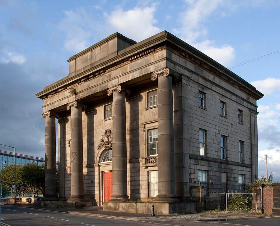

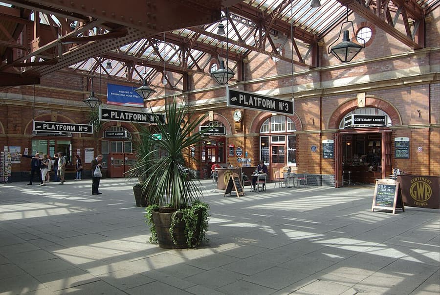

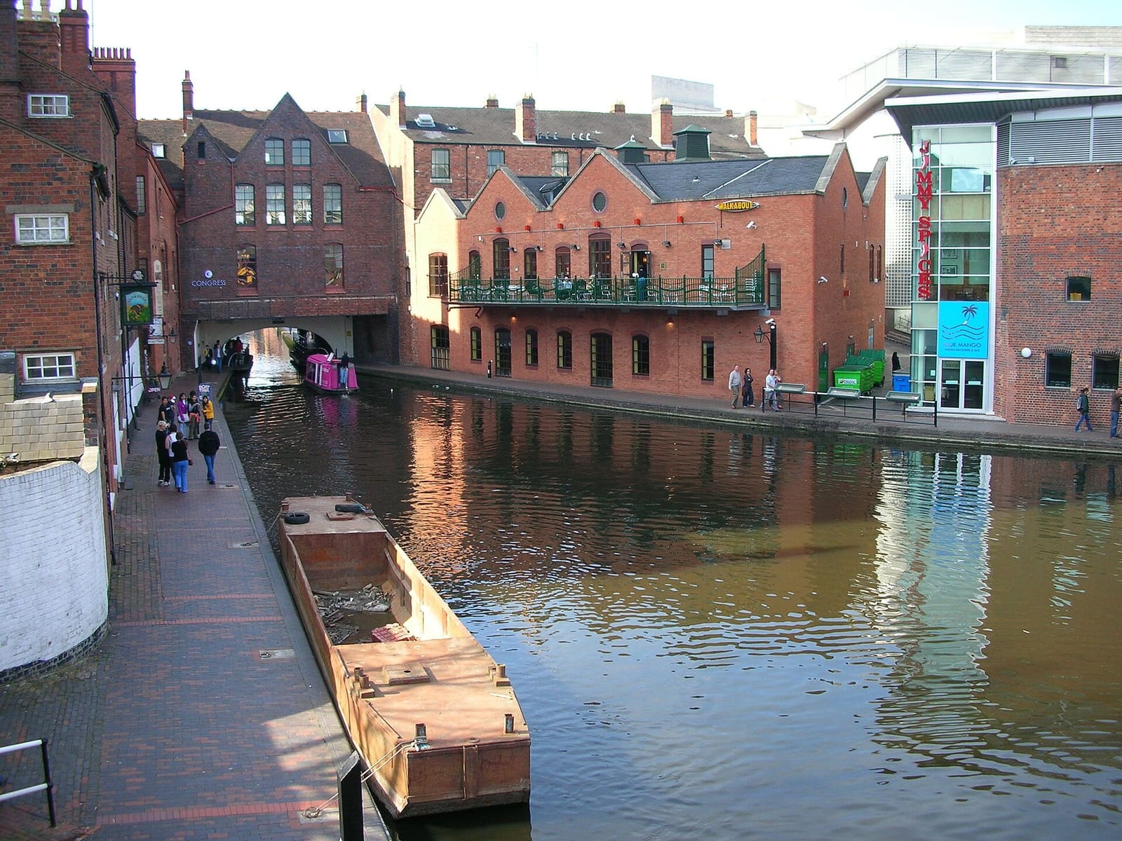

Stations, bridges and harbours from our guide where we hold a photo; each links to the area page that lists it.
Without a car
Getting here
By air
Birmingham Airport is linked to Birmingham International railway station by the free Air-Rail Link. Visit Birmingham describes the train from Birmingham International as a ten-minute direct link to the city centre. 1
Visit Birmingham: travel by train (opens in new tab) · National Rail: Birmingham International (opens in new tab) · Birmingham Airport (opens in new tab)
By train
New Street is the main station, with Avanti West Coast trains from London Euston. Chiltern Railways runs from London Marylebone to Moor Street, next to the Bullring, and quotes as little as 1 hour 43 minutes. Snow Hill, in the Colmore business district, has local services. 2
National Rail: Birmingham New Street (opens in new tab) · Chiltern Railways: trains to Birmingham (opens in new tab) · Avanti West Coast (opens in new tab)
By tram
West Midlands Metro runs through the centre from Edgbaston Village, Five Ways and Brindleyplace via Library, Town Hall and Grand Central, with stops for the Jewellery Quarter and for Eastside at Albert Street and Millennium Point. Buy a ticket before you board. 3
West Midlands Metro: maps and stops (opens in new tab) · West Midlands Metro (opens in new tab)
By bus and coach
Long-distance coaches use Birmingham Coach Station in Digbeth, south-east of the Bullring. Transport for West Midlands has the journey planner, bus timetables and Swift tickets. 4
Transport for West Midlands (opens in new tab) · National Express (opens in new tab)
Once you are there
Walk the center
Visit Birmingham puts New Street station about five minutes' walk from the cathedral and the cathedral about ten minutes from the Library of Birmingham; Brindleyplace is a short walk beyond, through the ICC. Digbeth is under ten minutes' walk from the Bullring.
Trams
West Midlands Metro links Brindleyplace, Centenary Square, Victoria Square, New Street (Grand Central), the Jewellery Quarter and Eastside. Buy a ticket before boarding: the operator charges a penalty fare to anyone travelling without one.
Trains and buses
The Jewellery Quarter has its own railway station, and Moor Street and Snow Hill serve local lines. Transport for West Midlands has bus timetables and Swift ticket information.
Driving
A Clean Air Zone covers the city centre inside the A4540 Middleway, 24 hours a day. Vehicles that do not meet its standards pay a daily charge, payable up to six days before or after travel.
Stops near each area
From our area guides (Birmingham): the stations and stops listed for each base. See each area's Getting there page for more.
City Centre & Bullring
- Birmingham New Street: National Rail. Main station, under Grand Central; step-free to all platforms
- Birmingham Moor Street: National Rail. Chiltern Railways station next to the Bullring
- Birmingham Snow Hill: National Rail. Colmore Row; local trains and some Chiltern services
- Grand Central: West Midlands Metro. Tram stop at New Street station
- Town Hall: West Midlands Metro. Tram stop for Victoria Square
- Bull Street: West Midlands Metro. Tram stop near the cathedral
Jewellery Quarter
- Jewellery Quarter: National Rail and West Midlands Metro. Station on Vyse Street with trains and trams
- St Paul's: West Midlands Metro. Tram stop for St Paul's Square
- Birmingham Snow Hill: National Rail. A short walk south-east of St Paul's Square
Brindleyplace & the Canals
- Library: West Midlands Metro. Tram stop on Centenary Square
- Brindleyplace: West Midlands Metro. Tram stop on Broad Street
- Five Ways: West Midlands Metro and National Rail. Tram stop and railway station at the western end of Broad Street
- Birmingham New Street: National Rail. About 15 minutes' walk via Centenary Square
Digbeth & Eastside
- Birmingham Moor Street: National Rail. Station on the western edge of Digbeth, next to the Bullring
- Millennium Point: West Midlands Metro. Tram stop for Thinktank and Eastside City Park
- Albert Street: West Midlands Metro. Tram stop on the Eastside extension
- Birmingham Coach Station: National Express. Coach station in Digbeth
No schedules or fares are copied here: check the operator or Traveline for the day you travel. Taxis and ride-hailing apps operate in most towns, but we have no sourced coverage data for rural areas, so do not count on one at short notice.
With a car
We hold no sourced driving notes for Birmingham beyond the general rules.
General rules (driving on the left, licenses, roundabouts, speed limits in mph, parking, tolls, EV charging): Driving in Britain. Charge points: Zapmap (opens in new tab).
To and from other regions
Straight-line distance from our region centers, and the fastest train time that National Rail publishes on its destination pages (not a schedule; it may include a change). Where we found no figure we say so. The full table is on getting between regions.
| To or from | Straight line | Fastest train (National Rail) | Notes |
|---|
Figures retrieved Oct 25, 2026 for the intercity data. Schedules change.
Stations in our data
21 stations and stops (Birmingham)
OpenStreetMap contributors (ODbL), via Overpass API. Fetched 2026-11-03. This is the list behind the near-me page, not a complete list of stations.
- Albert Street (tram), Midland Metro Limited
- Birmingham Moor Street (rail), Chiltern Railways
- Birmingham New Street (rail), Network Rail
- Birmingham Snow Hill (rail), West Midlands Trains (West Midlands Railway)
- Bordesley (rail), West Midlands Trains (West Midlands Railway)
- Brindley Place (tram), Midland Metro Limited
- Bull Street (tram), Midland Metro Limited
- Colmore Row Bus Station (bus)
- Corporation Street (tram), Midland Metro Limited
- Digbeth High Street (tram), Midland Metro Limited
- Duddeston (rail), West Midlands Trains (West Midlands Railway)
- Edgbaston Village (tram), Midland Metro Limited
- Five Ways (rail), West Midlands Trains (West Midlands Railway)
- Five Ways (tram), Midland Metro Limited
- Grand Central (tram), Midland Metro Limited
- Jewellery Quarter (rail), Midland Metro Limited
- Library (tram), Midland Metro Limited
- Millennium Point (tram), Midland Metro Limited
- St Chads (tram), Midland Metro Limited
- St Paul's (tram), Midland Metro Limited
- Town Hall (tram), Midland Metro Limited
Official links
- Visit Birmingham (opens in new tab): the official visitor site
- Visit Birmingham: getting around (opens in new tab): walking, public transport and taxis
- Transport for West Midlands (opens in new tab): journey planner, timetables, Swift tickets
- West Midlands Metro (opens in new tab): tram stops, tickets and planned works
- National Rail: Birmingham New Street (opens in new tab): station facilities and step-free access
- National Rail: Birmingham Moor Street (opens in new tab): station facilities and step-free access
- National Rail: Birmingham Snow Hill (opens in new tab): station facilities and step-free access
- Chiltern Railways (opens in new tab): London Marylebone to Moor Street and Snow Hill
- Avanti West Coast (opens in new tab): London Euston to New Street
- Brum Breathes (Clean Air Zone) (opens in new tab): check whether your vehicle is charged and pay
More on Birmingham: Birmingham guide · how to get there
Questions people ask
Can I get around Birmingham without a car?
We have not yet assessed getting around Birmingham. The official links below, and the region guide, are the place to start.
Do I need to check a driving zone in Birmingham?
We found no charging or low emission zone for Birmingham in the official pages we read. Check the council site before you drive in.