 English (UK)
 English (US)
 Français
 Deutsch
 Español
 Italiano
 Nederlands
 简体中文
Not yet assessed Our reading of the sources below, not an official rating.
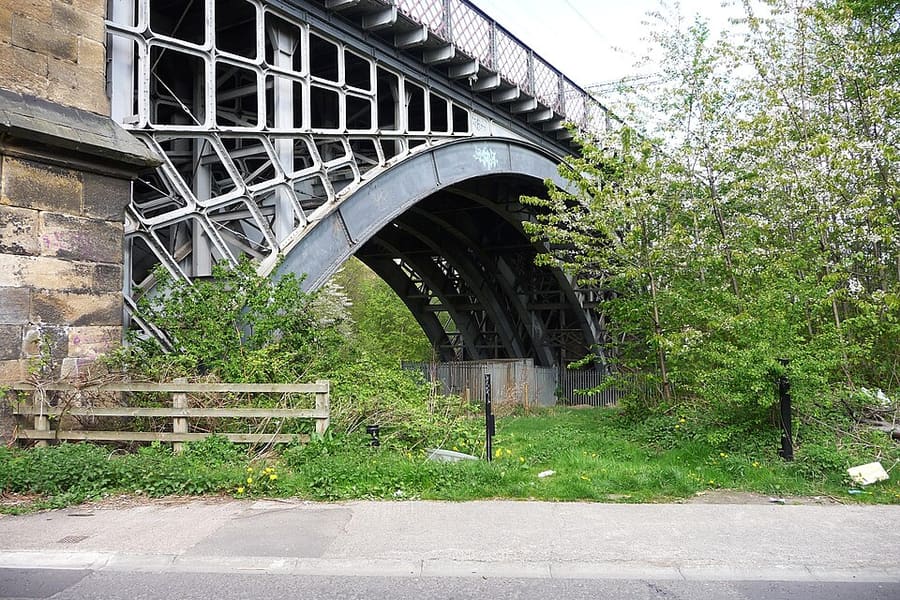

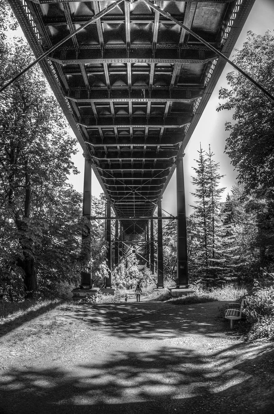

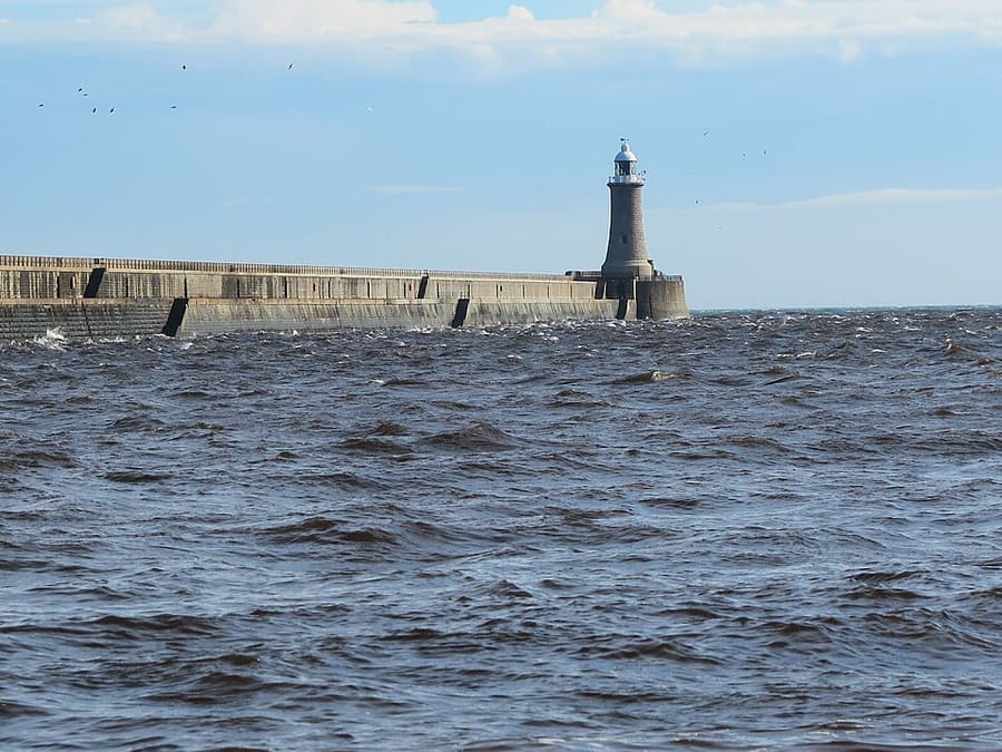

Stations, bridges and harbours from our guide where we hold a photo; each links to the area page that lists it.
Without a car
Getting here
By air
Newcastle International Airport has its own station on the Tyne and Wear Metro, which runs to Central Station and the city centre. See our airport page for details. 1
Newcastle Airport guide (opens in new tab) · Tyne and Wear Metro (opens in new tab)
By train
Newcastle station (Central Station) is on the East Coast Main Line, about 268 miles north of London King's Cross. National Rail lists LNER as the station manager. Check journey times and fares with National Rail. 2
National Rail: Newcastle station (opens in new tab) · LNER (opens in new tab)
Tyne and Wear Metro
The Metro links the airport, Central Station, Monument, Gateshead, Jesmond and the coast at Tynemouth and Cullercoats. Nexus sells Pop Pay As You Go cards for Metro travel. 3
Shields Ferry
The Shields Ferry crosses the Tyne between North Shields and South Shields; Nexus gives the crossing time as seven minutes. 4
Once you are there
Walk the center
Grainger Town, the castle and the Quayside are close together, but the streets between them are steep. The Gateshead bank is a walk across the Millennium Bridge or the Tyne Bridge.
Metro to the suburbs and the coast
Use the Metro for Jesmond, Byker, Gateshead and the coast. Tynemouth, North Shields and Cullercoats each have a station.
Accessibility
National Rail lists step-free access category B2 for Newcastle station, with lifts. The Metro has a separate accessibility page on the Travel North East website.
Stops near each area
From our area guides (Newcastle and Gateshead): the stations and stops listed for each base. See each area's Getting there page for more.
Quayside and Gateshead
- Central Station: Tyne and Wear Metro and National Rail. Main station, uphill from the western end of the Quayside
- Monument: Tyne and Wear Metro. City-centre Metro station; Grey Street and Dean Street lead down to the river
- Manors: Tyne and Wear Metro. Metro station north of the eastern Quayside
- Gateshead: Tyne and Wear Metro. Metro station in Gateshead town centre, south of the river
Grainger Town
- Monument: Tyne and Wear Metro. Under Grey's Monument, the central stop for Grey Street and the shops
- Central Station: Tyne and Wear Metro and National Rail. Main railway station; LNER manages it, according to National Rail
- St James: Tyne and Wear Metro. Metro station beside St James' Park
- Haymarket: Tyne and Wear Metro. Metro station at the northern end of Northumberland Street, near the universities
Ouseburn and Jesmond
- Manors: Tyne and Wear Metro. Nearest Metro station for the lower Ouseburn valley
- Byker: Tyne and Wear Metro. Metro station on the eastern side of the valley
- Jesmond: Tyne and Wear Metro. Metro station for Jesmond and Osborne Road
- Haymarket: Tyne and Wear Metro. Metro station near the Great North Museum and Hatton Gallery
Tynemouth
- Tynemouth: Tyne and Wear Metro. Metro station a short walk from Front Street and the priory
- North Shields: Tyne and Wear Metro. Metro station uphill from the Fish Quay and the ferry
- Cullercoats: Tyne and Wear Metro. Metro station for Cullercoats Bay and the northern end of Longsands
- North Shields ferry landing: Shields Ferry (Nexus). Ferry across the Tyne to South Shields; Nexus gives the crossing as seven minutes
No schedules or fares are copied here: check the operator or Traveline for the day you travel. Taxis and ride-hailing apps operate in most towns, but we have no sourced coverage data for rural areas, so do not count on one at short notice.
With a car
We hold no sourced driving notes for Newcastle and Gateshead beyond the general rules.
General rules (driving on the left, licenses, roundabouts, speed limits in mph, parking, tolls, EV charging): Driving in Britain. Charge points: Zapmap (opens in new tab).
To and from other regions
Straight-line distance from our region centers, and the fastest train time that National Rail publishes on its destination pages (not a schedule; it may include a change). Where we found no figure we say so. The full table is on getting between regions.
| To or from | Straight line | Fastest train (National Rail) | Notes |
|---|
Figures retrieved Oct 25, 2026 for the intercity data. Schedules change.
Stations in our data
39 stations and stops (Newcastle and Gateshead)
OpenStreetMap contributors (ODbL), via Nominatim search (may be incomplete). Fetched 2026-11-03. This is the list behind the near-me page, not a complete list of stations.
- Bede (station)
- Benton (station)
- Brockley Whins (station)
- Byker (station)
- Central (station)
- Chichester (station)
- Chillingham Road (station)
- Cullercoats (station)
- Dunston (station)
- East Boldon (station)
- Fawdon (station)
- Fellgate (station)
- Felling (station)
- Four Lane Ends (station)
- Gateshead (station)
- Gateshead Stadium (station)
- Haymarket (station)
- Hebburn (station)
- Heworth (station)
- Howdon (station)
- Ilford Road (station)
- Manors (station)
- Monkseaton (station)
- Monument (station)
- Newcastle (station)
- Northumberland Park (station)
- Northumberland Park (Metro) (station)
- Palmersville (station)
- Pelaw (station)
- Percy Main (station)
- Regent Centre (station)
- South Gosforth (station)
- South Shields (station)
- St James (station)
- Tynemouth (station)
- Walkergate (station)
- Wallsend (station)
- Wansbeck Road (station)
- West Monkseaton (station)
Official links
- Travel North East: Metro (opens in new tab): stations, timetables and tickets
- Travel North East: Shields Ferry (opens in new tab): North Shields to South Shields
- National Rail: Newcastle station (opens in new tab): facilities, step-free access and departures
- Newcastle International Airport (opens in new tab): flights and airport information
- Newcastle City Council (opens in new tab): local information
More on Newcastle and Gateshead: Newcastle and Gateshead guide · how to get there
Questions people ask
Can I get around Newcastle and Gateshead without a car?
We have not yet assessed getting around Newcastle and Gateshead. The official links below, and the region guide, are the place to start.
Do I need to check a driving zone in Newcastle and Gateshead?
We found no charging or low emission zone for Newcastle and Gateshead in the official pages we read. Check the council site before you drive in.