 English (UK)
 English (US)
 Français
 Deutsch
 Español
 Italiano
 Nederlands
 简体中文
Not yet assessed 这是我们对以下来源的解读,并非官方评级。
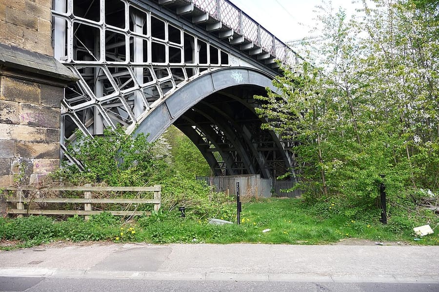

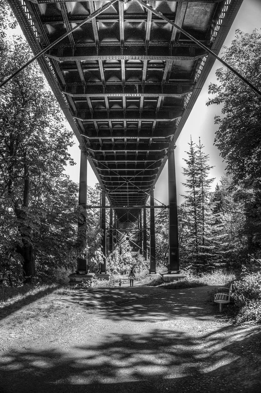

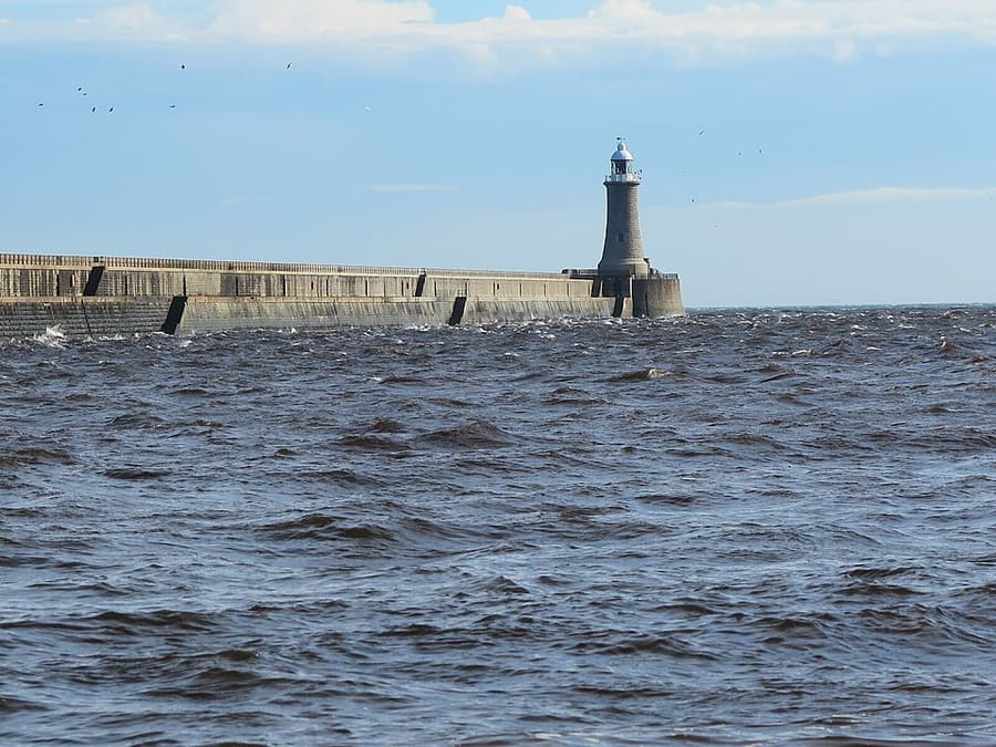

Stations, bridges and harbours from our guide where we hold a photo; each links to the area page that lists it.
不自驾
抵达方式
乘飞机
Newcastle International Airport has its own station on the Tyne and Wear Metro, which runs to Central Station and the city centre. See our airport page for details. 1
Newcastle Airport guide (opens in new tab) · Tyne and Wear Metro (opens in new tab)
乘火车
Newcastle station (Central Station) is on the East Coast Main Line, about 268 miles north of London King's Cross. National Rail lists LNER as the station manager. Check journey times and fares with National Rail. 2
National Rail: Newcastle station (opens in new tab) · LNER (opens in new tab)
Tyne and Wear Metro
The Metro links the airport, Central Station, Monument, Gateshead, Jesmond and the coast at Tynemouth and Cullercoats. Nexus sells Pop Pay As You Go cards for Metro travel. 3
Shields Ferry
The Shields Ferry crosses the Tyne between North Shields and South Shields; Nexus gives the crossing time as seven minutes. 4
抵达之后
步行游览市中心
Grainger Town, the castle and the Quayside are close together, but the streets between them are steep. The Gateshead bank is a walk across the Millennium Bridge or the Tyne Bridge.
Metro to the suburbs and the coast
Use the Metro for Jesmond, Byker, Gateshead and the coast. Tynemouth, North Shields and Cullercoats each have a station.
无障碍
National Rail lists step-free access category B2 for Newcastle station, with lifts. The Metro has a separate accessibility page on the Travel North East website.
各区域附近的站点
From our area guides (Newcastle and Gateshead): the stations and stops listed for each base. See each area's Getting there page for more.
Quayside and Gateshead
- Central Station: Tyne and Wear Metro and National Rail. Main station, uphill from the western end of the Quayside
- Monument: Tyne and Wear Metro. City-centre Metro station; Grey Street and Dean Street lead down to the river
- Manors: Tyne and Wear Metro. Metro station north of the eastern Quayside
- Gateshead: Tyne and Wear Metro. Metro station in Gateshead town centre, south of the river
Grainger Town
- Monument: Tyne and Wear Metro. Under Grey's Monument, the central stop for Grey Street and the shops
- Central Station: Tyne and Wear Metro and National Rail. Main railway station; LNER manages it, according to National Rail
- St James: Tyne and Wear Metro. Metro station beside St James' Park
- Haymarket: Tyne and Wear Metro. Metro station at the northern end of Northumberland Street, near the universities
Ouseburn and Jesmond
- Manors: Tyne and Wear Metro. Nearest Metro station for the lower Ouseburn valley
- Byker: Tyne and Wear Metro. Metro station on the eastern side of the valley
- Jesmond: Tyne and Wear Metro. Metro station for Jesmond and Osborne Road
- Haymarket: Tyne and Wear Metro. Metro station near the Great North Museum and Hatton Gallery
Tynemouth
- Tynemouth: Tyne and Wear Metro. Metro station a short walk from Front Street and the priory
- North Shields: Tyne and Wear Metro. Metro station uphill from the Fish Quay and the ferry
- Cullercoats: Tyne and Wear Metro. Metro station for Cullercoats Bay and the northern end of Longsands
- North Shields ferry landing: Shields Ferry (Nexus). Ferry across the Tyne to South Shields; Nexus gives the crossing as seven minutes
此处不抄录时刻表或票价:请在出行当天向运营商或Traveline核实。大多数城镇都有出租车和网约车,但我们没有农村地区的可靠覆盖数据,因此请勿指望临时能叫到车。
自驾
We hold no sourced driving notes for Newcastle and Gateshead beyond the general rules.
通用规则(靠左行驶、驾照、环岛、以mph计的限速、停车、收费、电动车充电):在英国驾车。充电桩:Zapmap(在新标签页打开)。
往返其他地区
我们区域中心之间的直线距离,以及National Rail在其目的地页面上公布的最快列车用时(并非时刻表;可能包含换乘)。未找到数据时我们会注明。完整表格见地区之间的交通。
| 出发地或目的地 | 直线距离 | 最快列车(National Rail) | Notes |
|---|
城际数据的数字获取于2026年10月25日。时刻表可能变化。
我们数据中的车站
39 stations and stops (Newcastle and Gateshead)
OpenStreetMap contributors (ODbL), via Nominatim search (may be incomplete). Fetched 2026-11-03. This is the list behind the near-me page, not a complete list of stations.
- Bede (station)
- Benton (station)
- Brockley Whins (station)
- Byker (station)
- Central (station)
- Chichester (station)
- Chillingham Road (station)
- Cullercoats (station)
- Dunston (station)
- East Boldon (station)
- Fawdon (station)
- Fellgate (station)
- Felling (station)
- Four Lane Ends (station)
- Gateshead (station)
- Gateshead Stadium (station)
- Haymarket (station)
- Hebburn (station)
- Heworth (station)
- Howdon (station)
- Ilford Road (station)
- Manors (station)
- Monkseaton (station)
- Monument (station)
- Newcastle (station)
- Northumberland Park (station)
- Northumberland Park (Metro) (station)
- Palmersville (station)
- Pelaw (station)
- Percy Main (station)
- Regent Centre (station)
- South Gosforth (station)
- South Shields (station)
- St James (station)
- Tynemouth (station)
- Walkergate (station)
- Wallsend (station)
- Wansbeck Road (station)
- West Monkseaton (station)
官方链接
- Travel North East: Metro (opens in new tab): stations, timetables and tickets
- Travel North East: Shields Ferry (opens in new tab): North Shields to South Shields
- National Rail: Newcastle station (opens in new tab): facilities, step-free access and departures
- Newcastle International Airport (opens in new tab): flights and airport information
- Newcastle City Council (opens in new tab): local information
More on Newcastle and Gateshead: Newcastle and Gateshead guide · how to get there
常见问题
Can I get around Newcastle and Gateshead without a car?
We have not yet assessed getting around Newcastle and Gateshead. The official links below, and the region guide, are the place to start.
Do I need to check a driving zone in Newcastle and Gateshead?
We found no charging or low emission zone for Newcastle and Gateshead in the official pages we read. Check the council site before you drive in.