 English (UK)
 English (US)
 Français
 Deutsch
 Español
 Italiano
 Nederlands
 简体中文
Not yet assessed Nuestra interpretación de las fuentes de abajo, no una valoración oficial.
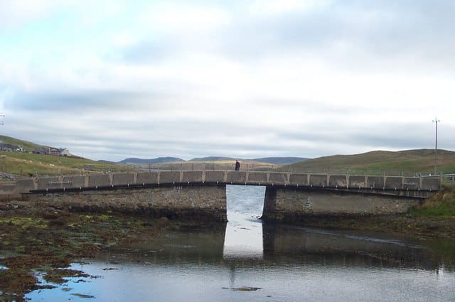

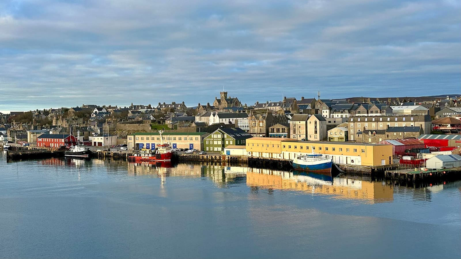

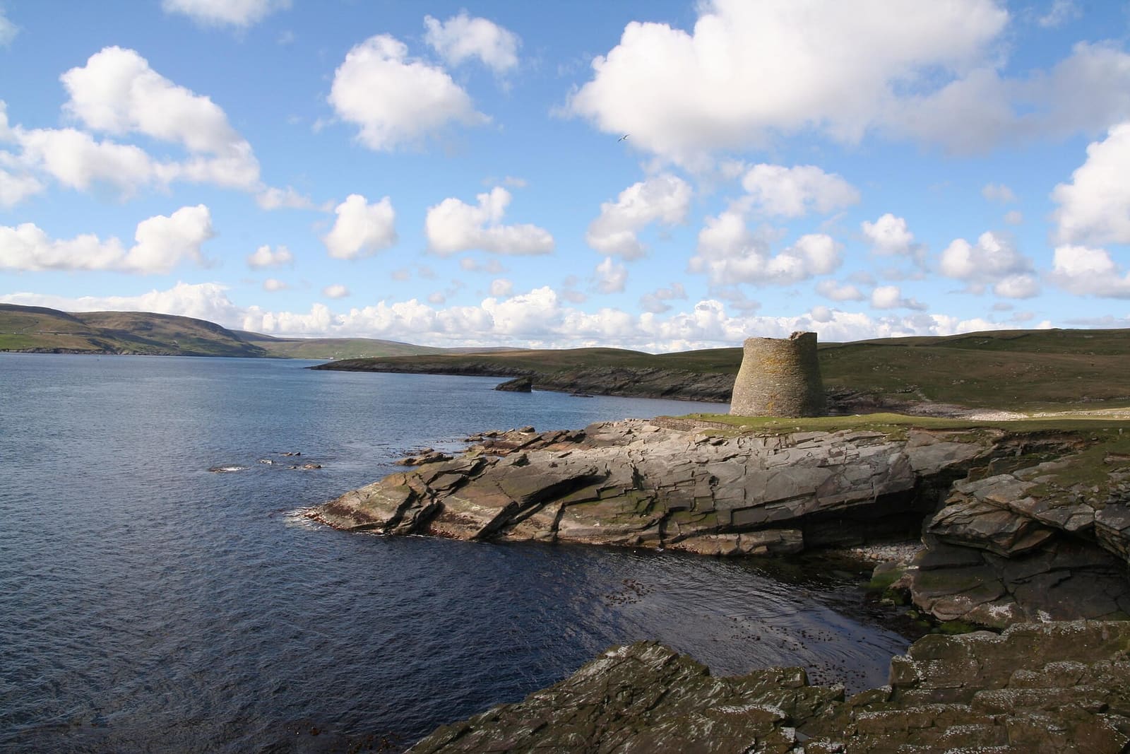

Stations, bridges and harbours from our guide where we hold a photo; each links to the area page that lists it.
Paying for local transport in Shetland
ScotRail (Scotland’s trains).ScotRail runs most trains within Scotland. Its tickets page refused automated access, so check ticket types and any Scotland-only offers on its site.ScotRail tickets (opens in new tab)
Sin coche
Cómo llegar
En ferri
NorthLink Ferries runs overnight sailings between Aberdeen and Lerwick; some sailings call at Kirkwall in Orkney. Check-in opens 120 minutes before departure at Aberdeen and Lerwick and closes 30 minutes before. 1
NorthLink: timetables (opens in new tab) · NorthLink: Shetland (opens in new tab)
En avión
Loganair lists flights to Shetland (Sumburgh) from Aberdeen, Edinburgh and Glasgow. Sumburgh Airport, run by Highlands and Islands Airports, is at the southern tip of the Mainland, about 31 km south of Lerwick. 2
Loganair (opens in new tab) · Sumburgh Airport (HIAL) (opens in new tab)
Una vez allí
A car helps
Buses from Lerwick run to Scalloway, Sumburgh and the north, but services to remote places can be few. Many visitors hire a car at Lerwick or Sumburgh Airport. 3
Carreteras de un solo carril
Many rural roads are single-track with passing places. Shetland.org asks drivers to pull into a passing place on the left, or wait opposite one on the right, and to let following cars pass. 4
Inter-island ferries
Shetland Islands Council runs the ferries to Bressay, Yell, Unst, Fetlar and Whalsay. The Bressay ferry takes no bookings; for Yell, Unst and Whalsay the council strongly recommends booking vehicle space. 5
Fuel and charging
There are fuel pumps on the Mainland, Yell, Unst and Whalsay but none on Fetlar or Bressay. Public electric vehicle chargers need a charging card or the ChargePlace app. 4
Paradas cerca de cada zona
From our area guides (Shetland): the stations and stops listed for each base. See each area's Getting there page for more.
Lerwick & Bressay
- NorthLink ferry terminal: Ferries to Aberdeen. Overnight sailings to Aberdeen, some calling at Kirkwall in Orkney; check NorthLink for times
- Bressay ferry: Shetland Islands Council. A short crossing from Lerwick; no bookings are taken, so turn up and go
- Viking Bus Station: Local buses. Shetland's bus hub; ZetTrans publishes timetables for routes across the islands
- Sumburgh Airport: Loganair flights. About 31 km south of Lerwick at the southern tip of the Mainland
South Mainland: Sumburgh, Jarlshof & Mousa
- Sumburgh Airport: Loganair flights. Flights to Aberdeen, Edinburgh and Glasgow, at the southern tip of the Mainland
- Lerwick to Sumburgh bus: Local bus. Runs between Lerwick and Sumburgh along the A970; check ZetTrans for times
- Sandsayre pier, Sandwick: Mousa Boat. Seasonal crossings to Mousa from April; all sailings depend on the weather
Scalloway & the West Mainland
- Lerwick to Scalloway bus: Local bus. Buses run between Lerwick and Scalloway through the day; check ZetTrans for times
- Tingwall Airport: Inter-island flights. Used for inter-island flights, not flights to mainland Scotland
- A970 and A971: Roads. The A970 links Lerwick and Scalloway; the A971 heads west towards Walls
Northmavine, Yell & Unst
- Toft to Ulsta ferry: Shetland Islands Council. Links the Mainland to Yell; booking vehicle space is strongly recommended
- Gutcher to Belmont ferry: Shetland Islands Council. The Bluemull Sound crossing from Yell to Unst; book vehicle space
- Mavis Grind: A970. The road to Hillswick and Esha Ness crosses this narrow isthmus
Aquí no se copian horarios ni tarifas: consulte al operador o a Traveline para el día en que viaje. Hay taxis y aplicaciones de transporte en la mayoría de las localidades, pero no tenemos datos de cobertura contrastados para zonas rurales, así que no cuente con uno con poca antelación.
Con coche
We hold no sourced driving notes for Shetland beyond the general rules.
Normas generales (conducción por la izquierda, permisos, rotondas, límites de velocidad en mph, aparcamiento, peajes, carga de vehículos eléctricos): Conducir en Gran Bretaña. Puntos de carga: Zapmap (se abre en una pestaña nueva).
Desde y hacia otras regiones
Distancia en línea recta desde los centros de nuestras regiones y tiempo del tren más rápido que National Rail publica en sus páginas de destino (no es un horario; puede incluir un transbordo). Donde no hemos encontrado ninguna cifra, lo indicamos. La tabla completa está en cómo desplazarse entre regiones.
| Desde o hacia | Línea recta | Tren más rápido (National Rail) | Notas |
|---|
Cifras obtenidas el 25 oct 2026 para los datos interurbanos. Los horarios cambian.
Enlaces oficiales
- Promote Shetland (shetland.org) (opens in new tab): the official visitor site
- NorthLink Ferries (opens in new tab): Aberdeen, Kirkwall and Lerwick sailings
- Loganair (opens in new tab): flights to Sumburgh
- Sumburgh Airport (HIAL) (opens in new tab): airport information
- Shetland Islands Council: ferries (opens in new tab): inter-island timetables, fares and bookings
- ZetTrans (opens in new tab): bus timetables
- Driving around Shetland (opens in new tab): single-track roads and fuel
More on Shetland: Shetland guide · how to get there
Preguntas frecuentes
Can I get around Shetland without a car?
We have not yet assessed getting around Shetland. The official links below, and the region guide, are the place to start.
Do I need to check a driving zone in Shetland?
We found no charging or low emission zone for Shetland in the official pages we read. Check the council site before you drive in.