 English (UK)
 English (US)
 Français
 Deutsch
 Español
 Italiano
 Nederlands
 简体中文
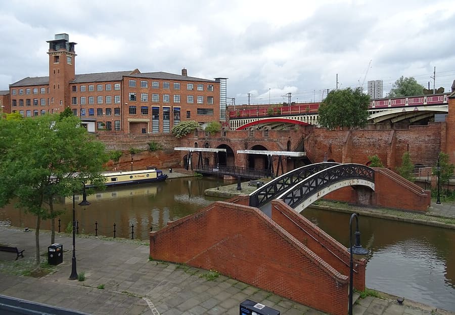
迷你指南:
Castlefield & the Canals:前往方式
车站、站点及前往Castlefield & the Canals的方式
站点与车站
前往 Castlefield & the Canals
请选择离目的地最近的站点。
| 站点或车站 | 服务 | 适合 |
|---|---|---|
| Deansgate-Castlefield | Metrolink | 位于运河码头旁、高架桥下的有轨电车站 |
| Deansgate | National Rail | 位于Deansgate与Whitworth Street West的火车站 |
| St Peter's Square | Metrolink | 位于市政中心的有轨电车站,步行不远即达Science and Industry Museum |
| Cornbrook | Metrolink | 位于 Castlefield 西南边缘的换乘站 |
Within walking range
Stations near Castlefield & the Canals
Stations and stops mapped in OpenStreetMap within 2.5 km of the centre of Castlefield & the Canals, nearest first. Distances are straight lines; walking times assume 5 km/h and are a minimum.
| Station or stop | 类型 | 距离 | 步行 |
|---|---|---|---|
| Salford Central | Rail station (Northern Trains) | 700 m | about 8 min |
| Manchester Oxford Road | Rail station (Northern Trains) | 800 m | about 10 min |
| Mosley Street | Tram stop | 1.0 km | about 12 min |
Station data: © OpenStreetMap contributors (ODbL), read 25 October 2026. Check step-free access with the operator before you travel.
Walking from nearby areas
- Spinningfields & Deansgate: 500 m from Castlefield & the Canals, about 7 min on foot
- Piccadilly, Chinatown & the Village: 1000 m from Castlefield & the Canals, about 12 min on foot
- Northern Quarter & Cathedral: 1.3 km from Castlefield & the Canals, about 16 min on foot
- Ancoats & New Islington: 1.9 km from Castlefield & the Canals, about 23 min on foot
前往Manchester
官方出行信息
Manchester南部设有一座国际机场,市中心有四座主要火车站,Piccadilly Gardens附近设有长途汽车站。时刻、票价和运营中断情况请务必向运营方确认。
- Visit Manchester →——这座城市的官方游客网站
- Manchester Airport:往返机场 →——火车、有轨电车、巴士和出租车
- Bee Network (TfGM) →——路线规划、出行动态与车票
- Bee Network:有轨电车 →——Metrolink 线路及计划内施工
- Bee Network:公交与有轨电车非接触式支付 →——轻触即付的使用方式,以及每日和每周封顶价
- Bee Network:公交 →——线路与车票
- Bee Network:无障碍出行 →——出行协助服务
- National Rail Enquiries →——列车时刻与票价
- Avanti West Coast →——前往 London Euston 及西海岸沿线
- TransPennine Express →——开往北部并横跨 Pennines 的列车
- Northern →——区域列车
- Manchester City Council →——本地信息
班次时间、票价和运营中断情况可能变动:请通过上方运营方页面查看实时信息。
在此规划行程
输入起点,Google Maps将显示前往Castlefield & the Canals的路线。已默认选择公共交通,可在地图上更改。实时中断信息请查看运营方网站。
While you are here
Things to see in Castlefield & the Canals
A few of the sights in the area. The Things to do page lists them all, with directions and official links.
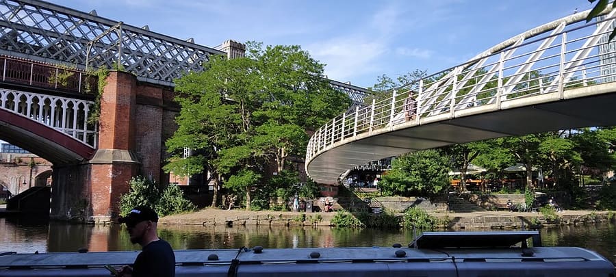
曼彻斯特
More areas to explore
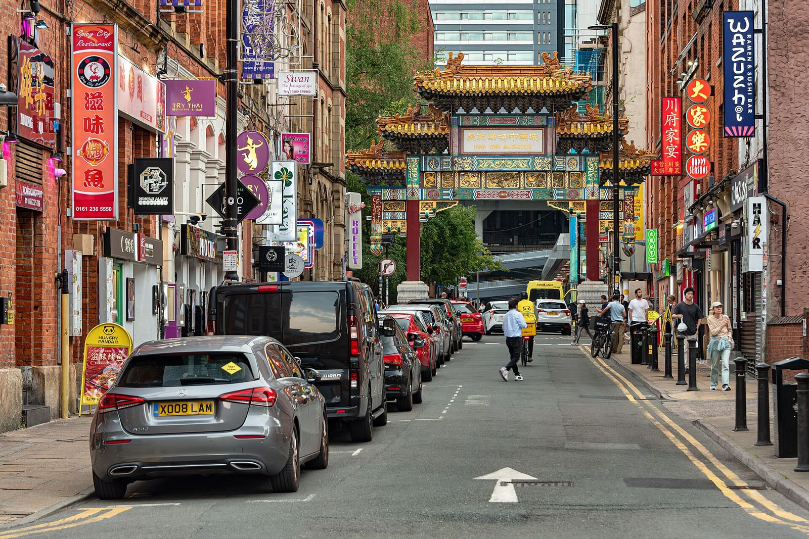
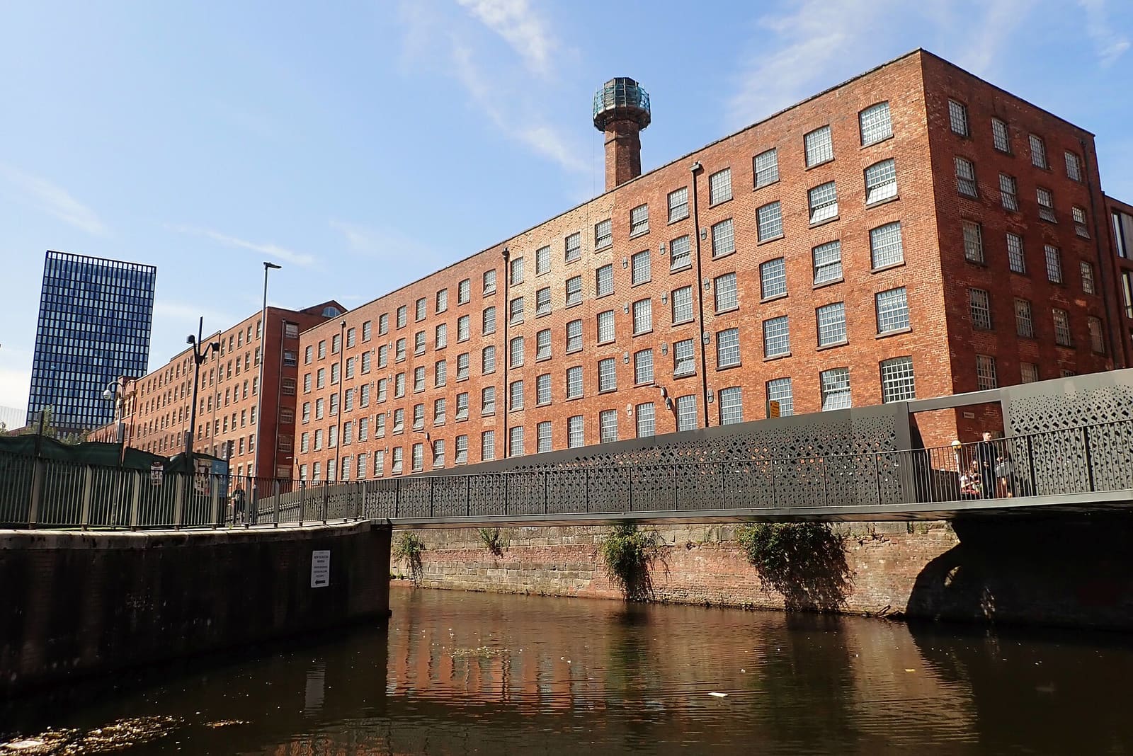
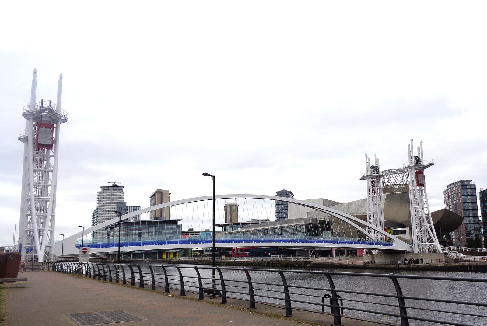
图片来源
- Castlefield Canal Basin: habiloid, CC BY-SA 2.0, source
- Castlefield & the Canals (area photo): Ridiculopathy, CC0, source
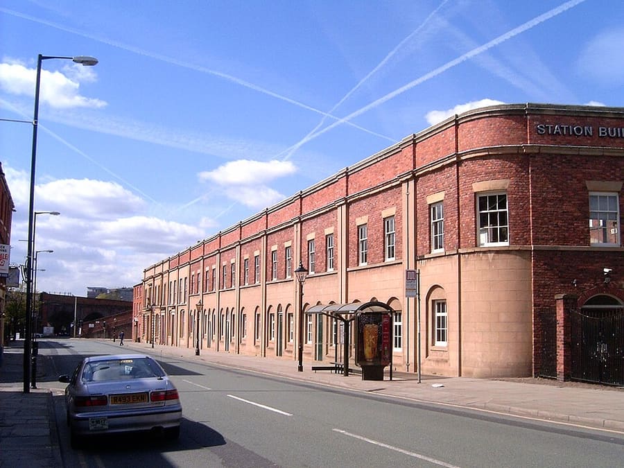
- Liverpool Road Station: The original uploader was Pit-yacker at English Wikipedia., CC BY-SA 2.0, source
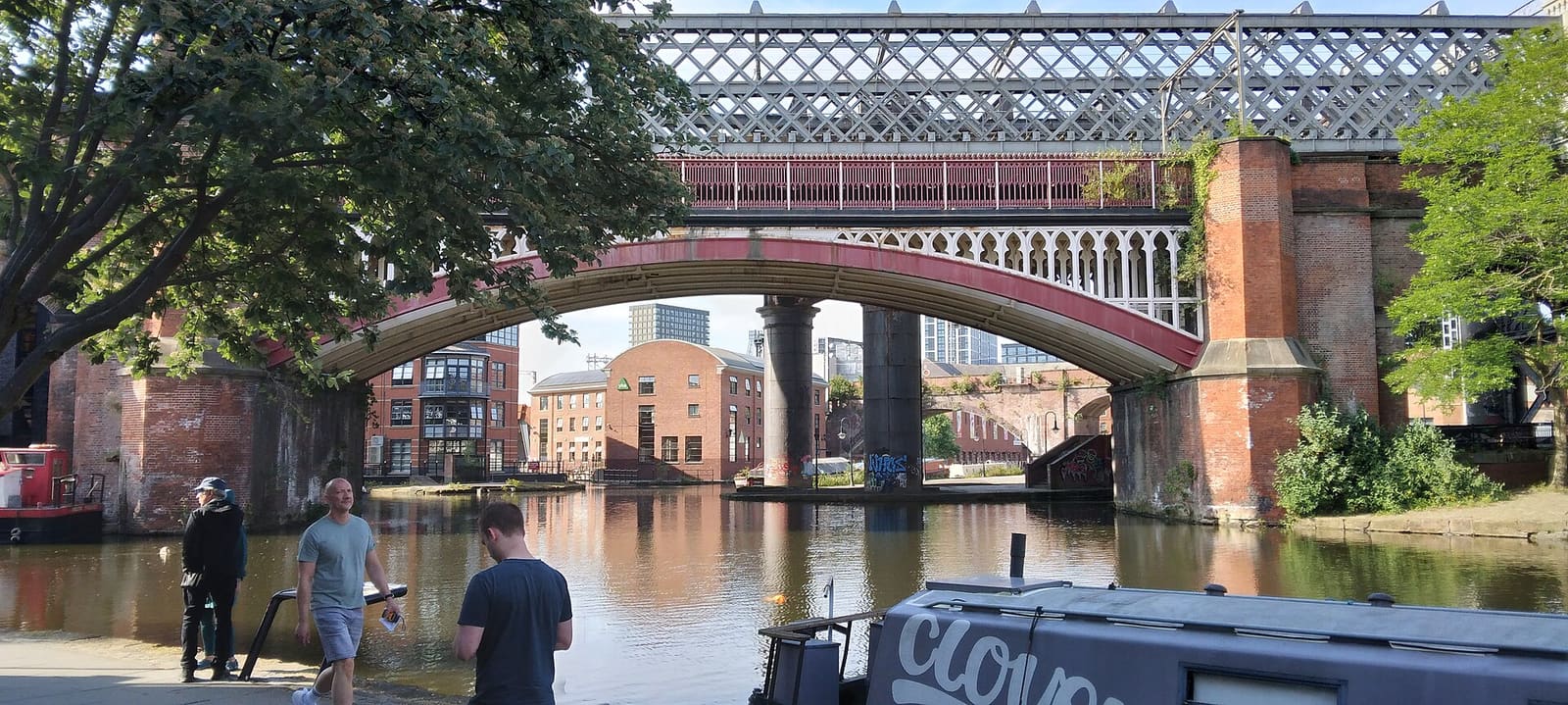
- Castlefield Viaduct: Gerald England, CC BY-SA 2.0, source
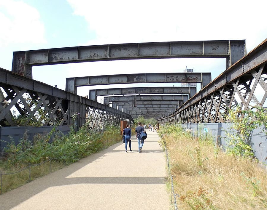
- Merchant's Bridge: Ridiculopathy, CC0, source
- Piccadilly, Chinatown & the Village: Jorge Franganillo, CC BY 4.0, source
- Ancoats & New Islington: DS Pugh, CC BY-SA 2.0, source
- Salford Quays & MediaCity: Rosser1954, CC BY 4.0, source
- Oxford Road & Rusholme: DrPhoenix, CC BY-SA 3.0, source
- Chorlton & Didsbury: Wikidwitch, CC BY-SA 3.0, source
- Altrincham & Sale: Parrot of Doom, CC BY-SA 3.0, source
- Northern Quarter & Cathedral: Anthony Parkes, CC BY-SA 2.0, source
- Spinningfields & Deansgate: Anthony O'Neil, CC BY-SA 2.0, source
Photos from Wikimedia Commons, used under the licences shown. All photo credits