 English (UK)
 English (US)
 Français
 Deutsch
 Español
 Italiano
 Nederlands
 简体中文
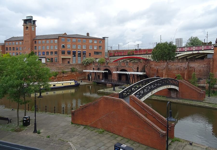
Una mini guida a
Castlefield & the Canals: come arrivare
Fermate, stazioni e come raggiungere Castlefield & the Canals
Fermate e stazioni
Come arrivare a Castlefield & the Canals
Scegliere la fermata più vicina alla destinazione.
| Fermata o stazione | Servizi | Adatto a |
|---|---|---|
| Deansgate-Castlefield | Metrolink | Fermata del tram accanto al bacino del canale, sotto il viadotto |
| Deansgate | National Rail | Stazione ferroviaria a Deansgate e Whitworth Street West |
| St Peter's Square | Metrolink | Fermata del tram nel centro civico, a breve distanza a piedi dal Science and Industry Museum |
| Cornbrook | Metrolink | Fermata di interscambio sul margine sud-occidentale di Castlefield |
Within walking range
Stations near Castlefield & the Canals
Stations and stops mapped in OpenStreetMap within 2.5 km of the centre of Castlefield & the Canals, nearest first. Distances are straight lines; walking times assume 5 km/h and are a minimum.
| Station or stop | Tipo | Distanza | A piedi |
|---|---|---|---|
| Salford Central | Rail station (Northern Trains) | 700 m | about 8 min |
| Manchester Oxford Road | Rail station (Northern Trains) | 800 m | about 10 min |
| Mosley Street | Tram stop | 1.0 km | about 12 min |
Station data: © OpenStreetMap contributors (ODbL), read 25 October 2026. Check step-free access with the operator before you travel.
Walking from nearby areas
- Spinningfields & Deansgate: 500 m from Castlefield & the Canals, about 7 min on foot
- Piccadilly, Chinatown & the Village: 1000 m from Castlefield & the Canals, about 12 min on foot
- Northern Quarter & Cathedral: 1.3 km from Castlefield & the Canals, about 16 min on foot
- Ancoats & New Islington: 1.9 km from Castlefield & the Canals, about 23 min on foot
Raggiungere Manchester
Informazioni ufficiali sui trasporti
Manchester ha un aeroporto internazionale a sud del centro, quattro principali stazioni ferroviarie e una stazione dei pullman vicino a Piccadilly Gardens. Verificare sempre con il gestore orari, tariffe e disservizi aggiornati.
- Visit Manchester → — il sito ufficiale per i visitatori della città
- Manchester Airport: da e per l'aeroporto → — treno, tram, autobus e taxi
- Bee Network (TfGM) → — pianificatore di viaggio, aggiornamenti sui trasporti, biglietti
- Bee Network: tram → — percorsi Metrolink e lavori programmati
- Bee Network: contactless su autobus e tram → — come funziona il tap and go, con limiti giornalieri e settimanali
- Bee Network: autobus → — percorsi e biglietti
- Bee Network: viaggiare in modo accessibile → — assistenza durante il viaggio
- National Rail Enquiries → — orari e tariffe dei treni
- Avanti West Coast → — London Euston e la West Coast
- TransPennine Express → — treni per il nord e attraverso i Pennini
- Northern → — treni regionali
- Manchester City Council → — informazioni locali
Orari, tariffe e disservizi cambiano: per informazioni in tempo reale consultare le pagine dei gestori qui sopra.
Pianifichi qui il tragitto
Inserisca il punto di partenza e Google Maps mostrerà i percorsi per Castlefield & the Canals. Il trasporto pubblico è preselezionato; si può cambiare sulla mappa. Per eventuali disagi in tempo reale, controllare i siti degli operatori.
While you are here
Things to see in Castlefield & the Canals
A few of the sights in the area. The Things to do page lists them all, with directions and official links.
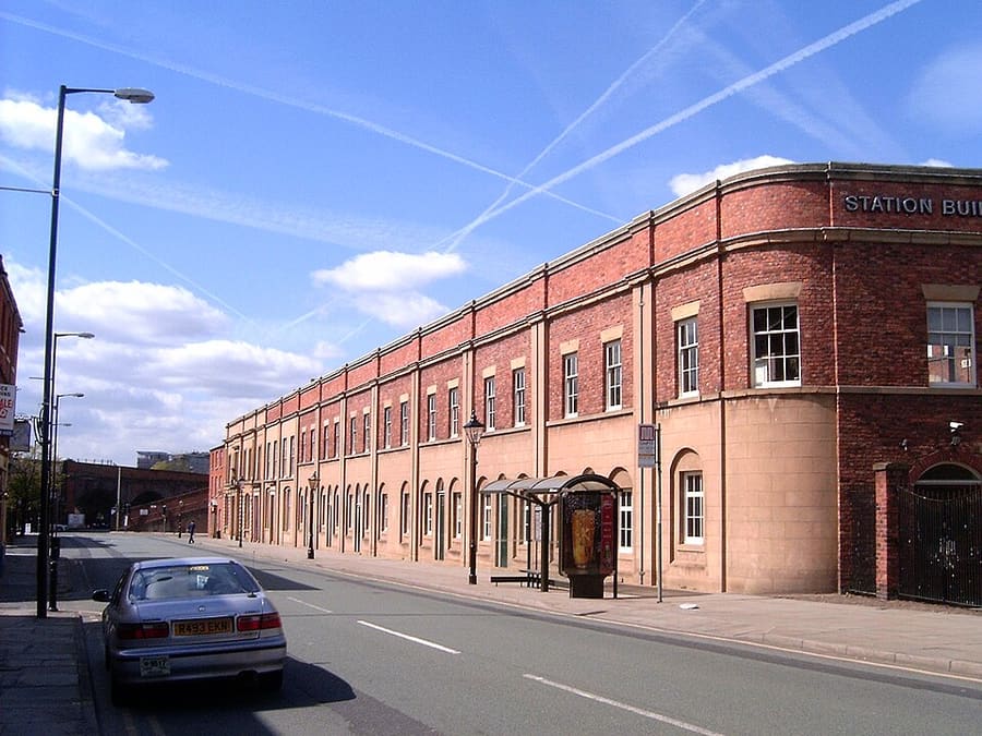
Liverpool Road Station
Capolinea della Liverpool and Manchester Railway del 1830, classificato Grade I: la più antica stazione terminale ancora esistente al mondo, oggi parte del museo.
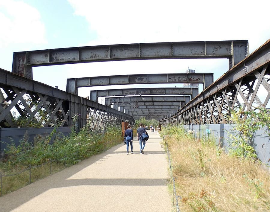
Castlefield Viaduct
Viadotto ferroviario del 1893, su una parte del quale il National Trust ha creato un giardino.
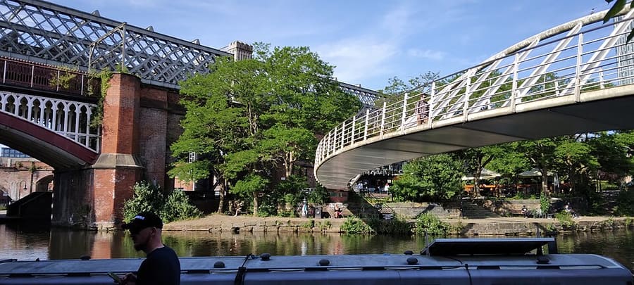
Merchant's Bridge
Passerella pedonale con un arco in acciaio di 40 metri di luce, costruita da Slate Wharf a Catalan Square e progettata da Whitby Bird.
Manchester
More areas to explore
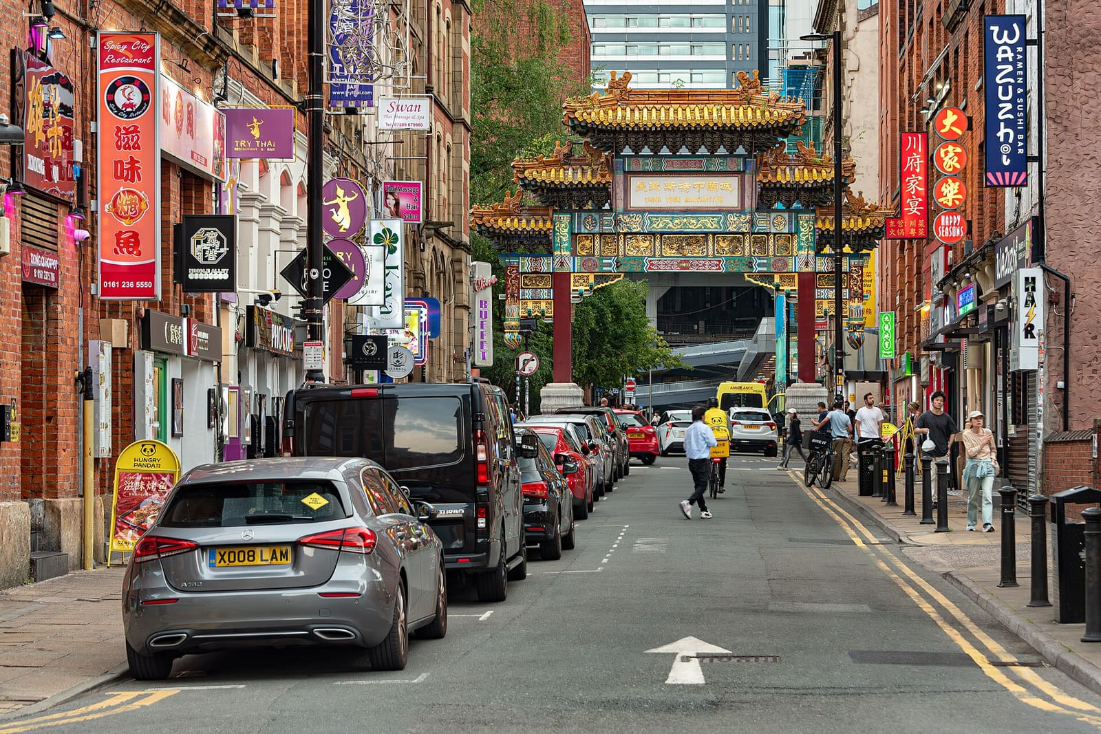
Piccadilly, Chinatown & the Village
L'arco di Chinatown, il Gay Village sul canale e la galleria su Mosley Street
Apri la mini guida →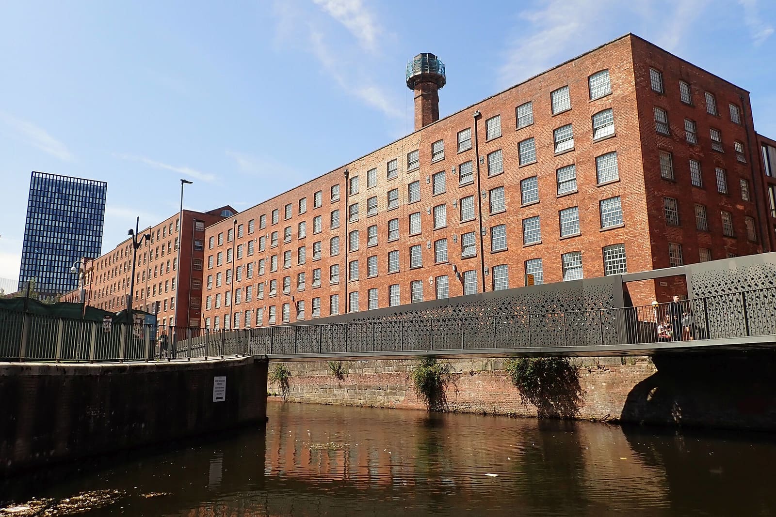
Ancoats & New Islington
Primi cotonifici, canali e un quartiere sull'acqua riqualificato
Apri la mini guida →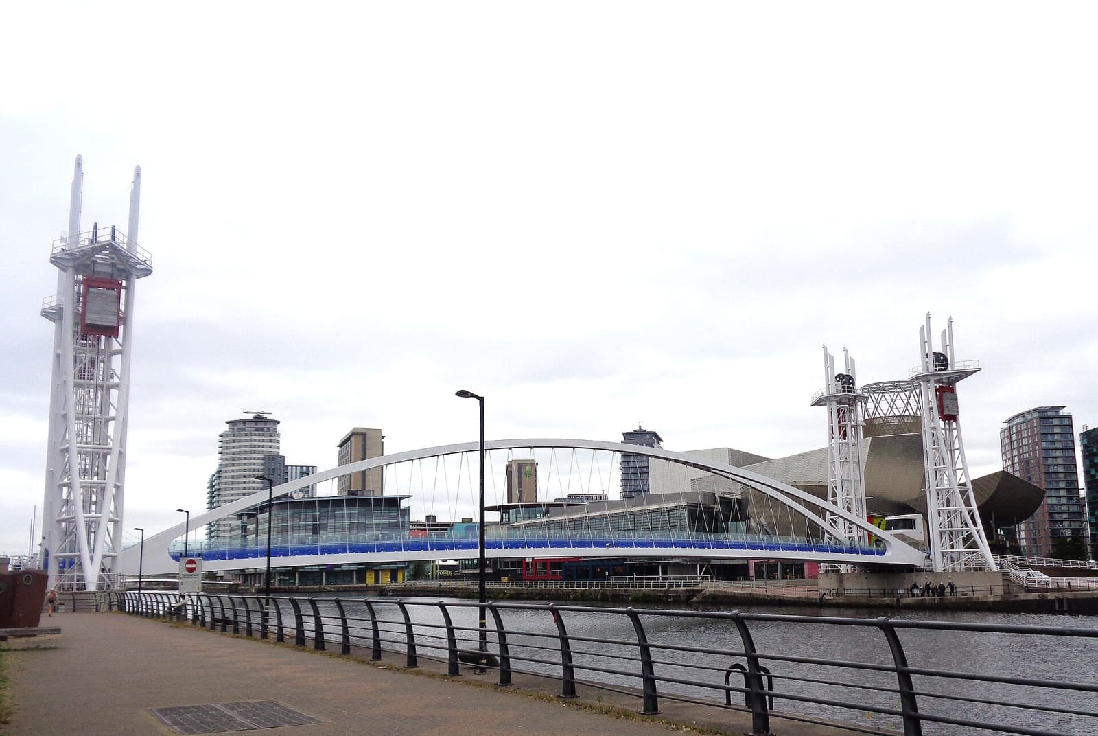
Salford Quays & MediaCity
Arte, musei e media city nei Docklands, a Salford (una città separata da Manchester)
Apri la mini guida →Crediti fotografici
- Castlefield Canal Basin: habiloid, CC BY-SA 2.0, source
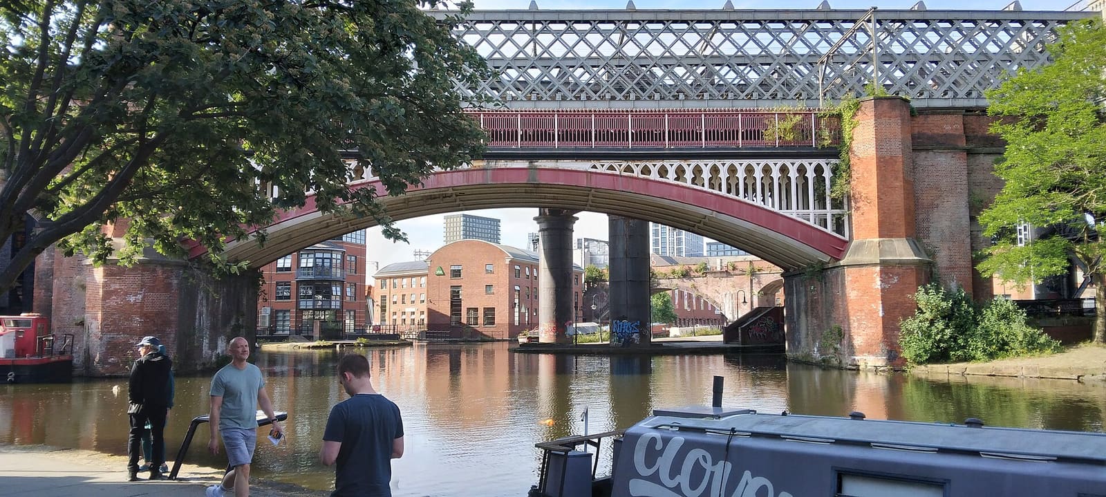
- Castlefield & the Canals (area photo): Ridiculopathy, CC0, source
- Liverpool Road Station: The original uploader was Pit-yacker at English Wikipedia., CC BY-SA 2.0, source
- Castlefield Viaduct: Gerald England, CC BY-SA 2.0, source
- Merchant's Bridge: Ridiculopathy, CC0, source
- Piccadilly, Chinatown & the Village: Jorge Franganillo, CC BY 4.0, source
- Ancoats & New Islington: DS Pugh, CC BY-SA 2.0, source
- Salford Quays & MediaCity: Rosser1954, CC BY 4.0, source
- Oxford Road & Rusholme: DrPhoenix, CC BY-SA 3.0, source
- Chorlton & Didsbury: Wikidwitch, CC BY-SA 3.0, source
- Altrincham & Sale: Parrot of Doom, CC BY-SA 3.0, source
- Northern Quarter & Cathedral: Anthony Parkes, CC BY-SA 2.0, source
- Spinningfields & Deansgate: Anthony O'Neil, CC BY-SA 2.0, source
Photos from Wikimedia Commons, used under the licences shown. All photo credits
Continua a esplorare Manchester