 English (UK)
 English (US)
 Français
 Deutsch
 Español
 Italiano
 Nederlands
 简体中文
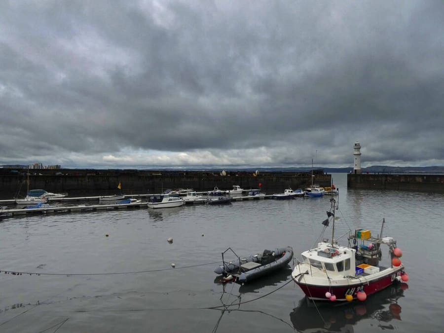
Un mini-guide de
Leith & the Waterfront : comment s'y rendre
Arrêts, gares et accès à Leith & the Waterfront
Arrêts et stations
Se rendre à Leith & the Waterfront
Choisissez l'arrêt le plus proche de votre destination.
| Arrêt ou station | Services | Idéal pour |
|---|---|---|
| The Shore | Edinburgh Trams | Arrêt de tram à côté des restaurants du front de mer |
| Foot of the Walk | Edinburgh Trams | Arrêt de tram au bas de Leith Walk |
| Port de Leith | Edinburgh Trams | Arrêt de tram pour les docks et le front de mer nord |
| Ocean Terminal | Edinburgh Trams | Arrêt de tram pour le Royal Yacht Britannia |
| Newhaven | Edinburgh Trams | Le terminus, à côté de Newhaven Harbour |
Within walking range
Stations near Leith & the Waterfront
Stations and stops mapped in OpenStreetMap within 2.5 km of the centre of Leith & the Waterfront, nearest first. Distances are straight lines; walking times assume 5 km/h and are a minimum.
| Station or stop | Type | Distance | À pied |
|---|---|---|---|
| Balfour Street | Tram stop (Edinburgh Trams Ltd.) | 1.2 km | about 15 min |
Station data: © OpenStreetMap contributors (ODbL), read 24 October 2026. Check step-free access with the operator before you travel.
Walking from nearby areas
- Holyrood, Arthur's Seat & Calton Hill: 2.6 km from Leith & the Waterfront, about 32 min on foot
- New Town: 3.0 km from Leith & the Waterfront, about 36 min on foot
- Old Town & Royal Mile: 3.3 km from Leith & the Waterfront, about 39 min on foot
- Stockbridge & Dean Village: 3.4 km from Leith & the Waterfront, about 41 min on foot
Rejoindre Edinburgh
Informations officielles sur les transports
Édimbourg possède un aéroport international à l'ouest du centre, deux grandes gares ferroviaires et une gare routière centrale. Vérifiez toujours auprès de l'opérateur les horaires, les tarifs et les perturbations en cours.
- Edinburgh Airport : rejoindre l'aéroport et en repartir → — tramway, bus, taxi et train
- Edinburgh Trams → — lignes, arrêts et billets
- Bus de l'aéroport Lothian Buses → — Airlink
- National Rail Enquiries → — horaires et tarifs des trains
- ScotRail → — trains dans toute l'Écosse
- Traveline Scotland → — calculateur d'itinéraire pour bus, tramways et trains
- City of Edinburgh Council : préparer votre trajet → — informations officielles sur les transports
- Visit Edinburgh : options de transport → — toutes les façons d'arriver
Les horaires, les tarifs et les perturbations changent : consultez les pages des opérateurs ci-dessus pour des informations en direct.
Planifiez votre trajet ici
Indiquez votre point de départ et Google Maps affichera les itinéraires vers Leith & the Waterfront. Les transports en commun sont sélectionnés ; vous pouvez changer de mode sur la carte. Consultez les sites des opérateurs pour connaître les perturbations en direct.
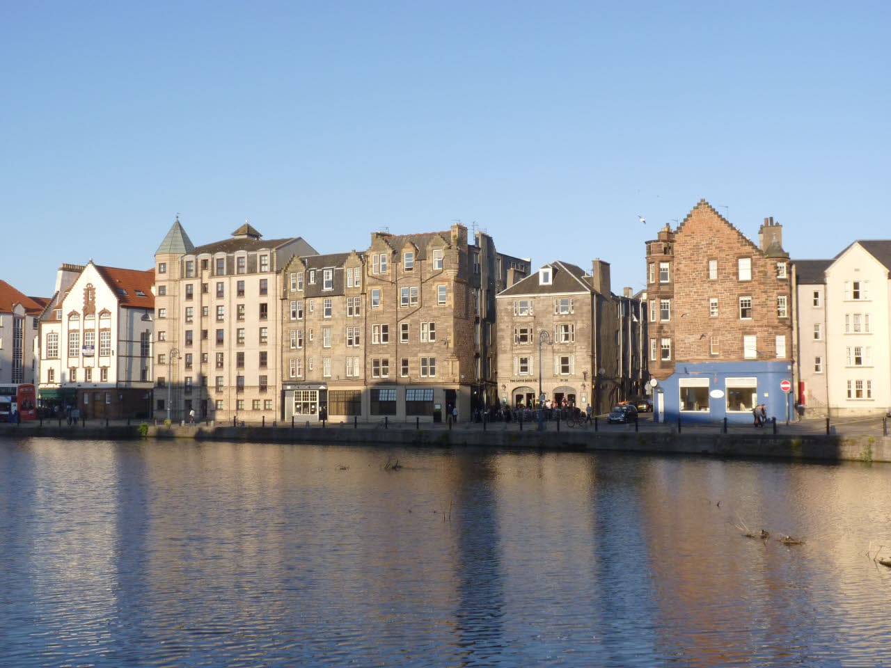
While you are here
Things to see in Leith & the Waterfront
A few of the sights in the area. The Things to do page lists them all, with directions and official links.
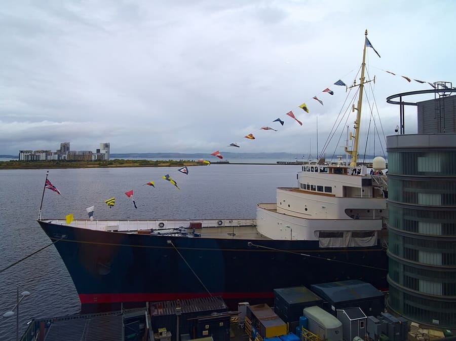
Royal Yacht Britannia
Ancien yacht royal, désormais amarré à Ocean Terminal et transformé en musée flottant.
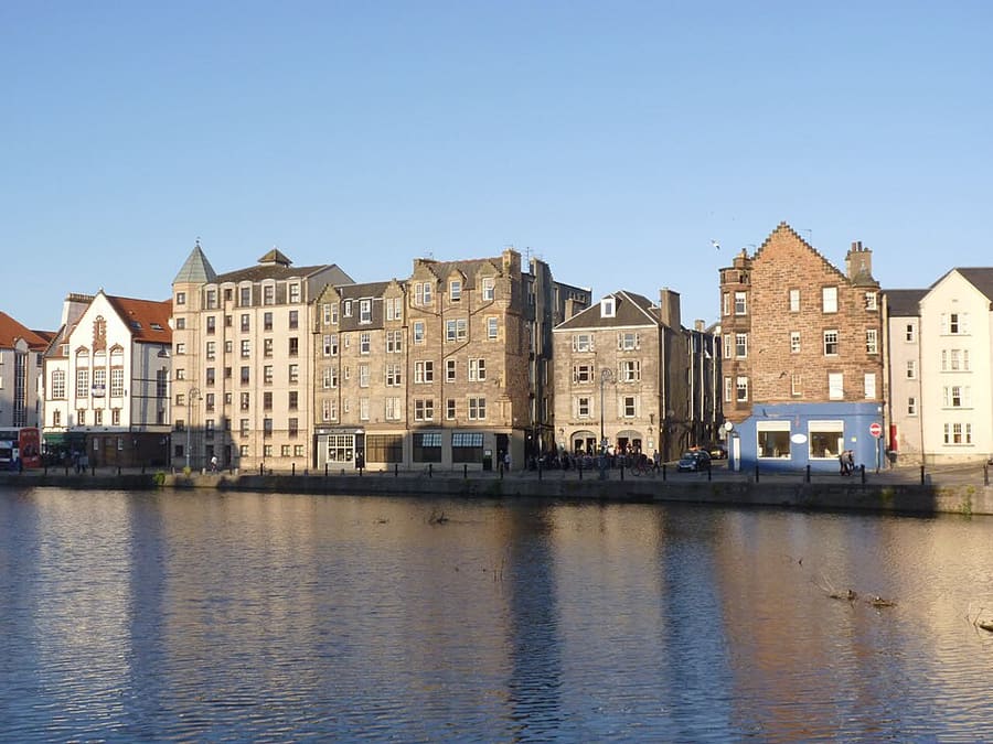
The Shore
Port historique sur la Water of Leith, bordé d’anciens entrepôts devenus restaurants et bars.
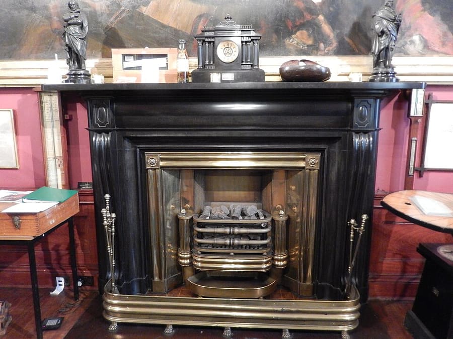
Trinity House
Musée maritime dans un bâtiment historique de Kirkgate, consacré au passé maritime de Leith.
Édimbourg
More areas to explore
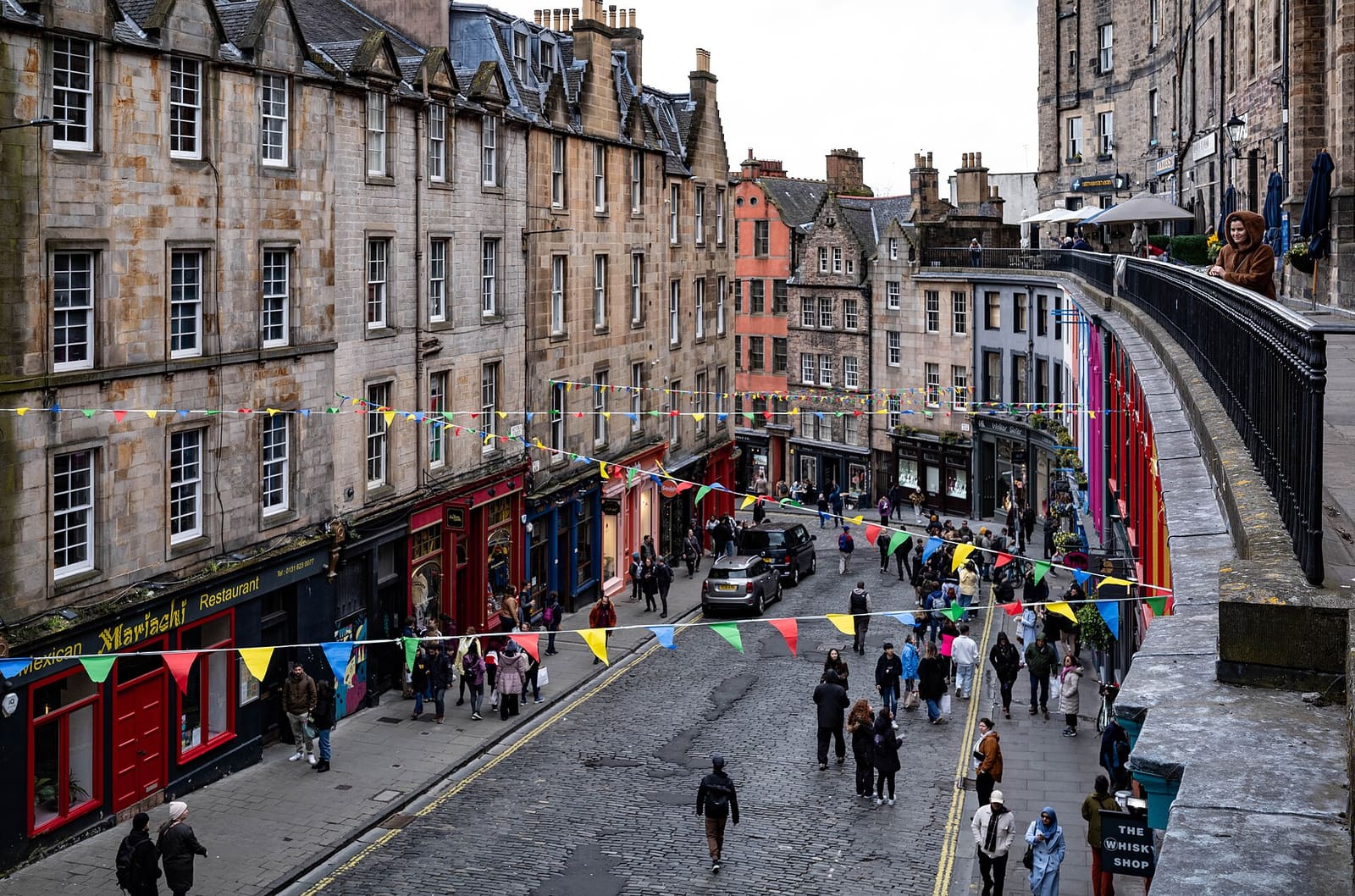
Grassmarket & Southside
Une place de marché sous le château, Greyfriars et le principal musée de la ville
Ouvrir le mini-guide →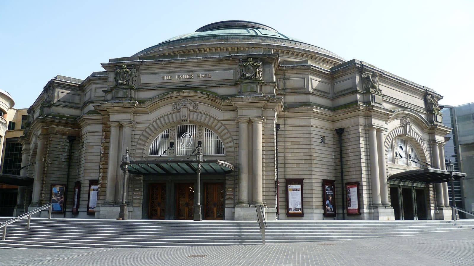
Haymarket & Murrayfield
Le quartier des théâtres, le bassin du canal, le stade de rugby et le zoo, tous à l’ouest du château
Ouvrir le mini-guide →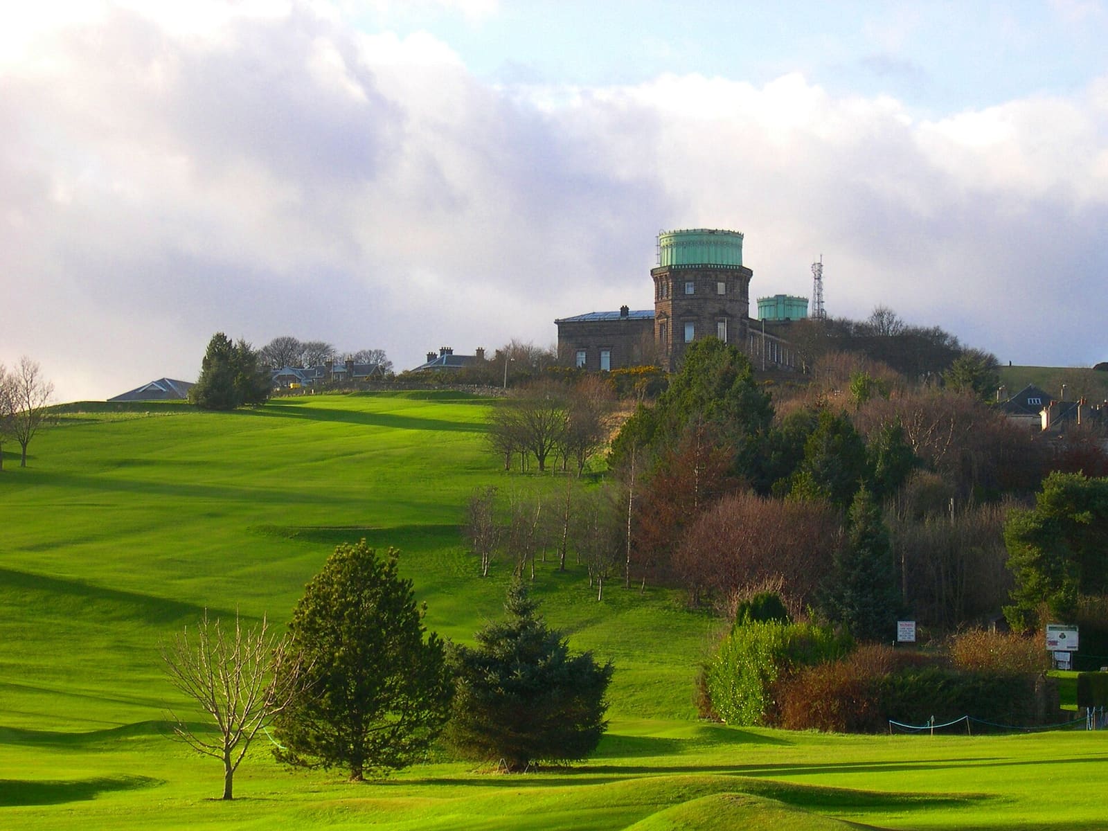
Bruntsfield & Morningside
Quartiers résidentiels verdoyants du sud, avec rues commerçantes locales, Blackford Hill et un observatoire sur la colline
Ouvrir le mini-guide →Crédits photos
- Newhaven Harbour: Steve Fareham, CC BY-SA 2.0, source
- Leith & the Waterfront (area photo): Alan Murray-Rust, CC BY-SA 2.0, source
- Royal Yacht Britannia: Daniel Kraft, CC BY-SA 3.0, source
- The Shore: Alan Murray-Rust, CC BY-SA 2.0, source
- Trinity House: AlasdairW, CC BY-SA 4.0, source
- Grassmarket & Southside: rboed*, CC BY 2.0, source
- Haymarket & Murrayfield: Kim Traynor, CC BY-SA 3.0, source
- Bruntsfield & Morningside: Macumba, Public domain, source
- Portobello & the Coast: M J Richardson, CC BY-SA 2.0, source
- Old Town & Royal Mile: Anthony O'Neil, CC BY-SA 2.0, source
- New Town: Chris Morgan, CC BY-SA 2.0, source
- Holyrood, Arthur's Seat & Calton Hill: Peulle, CC BY 4.0, source
- Stockbridge & Dean Village: Mike Shaw, CC BY-SA 4.0, source
Photos from Wikimedia Commons, used under the licences shown. All photo credits
Continuer à explorer Édimbourg