 English (UK)
 English (US)
 Français
 Deutsch
 Español
 Italiano
 Nederlands
 简体中文
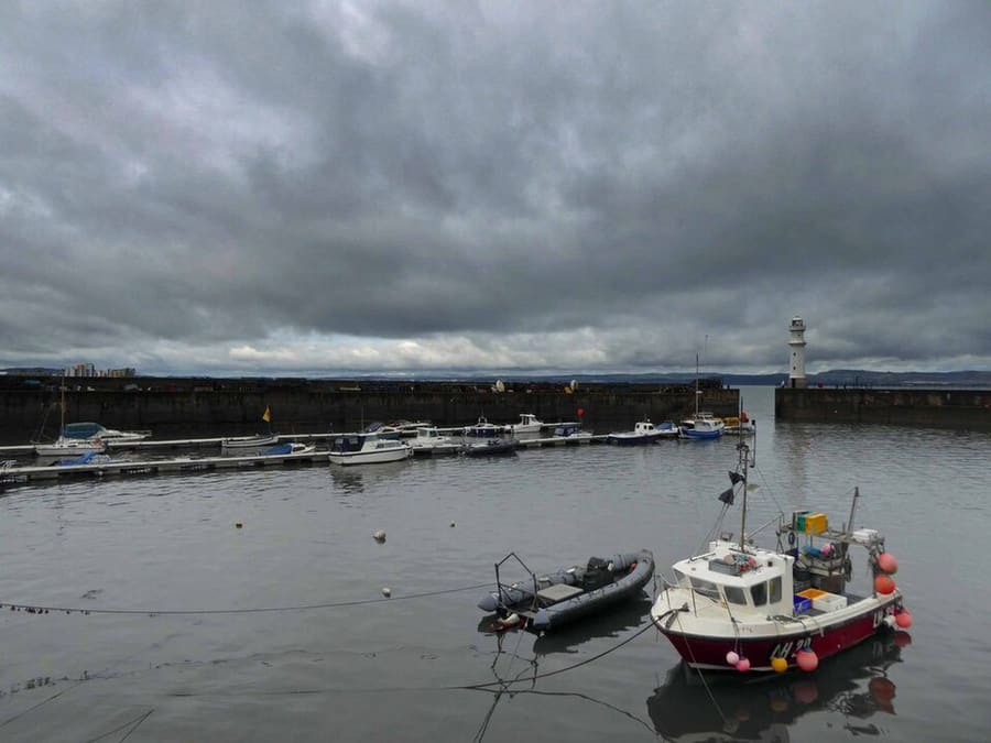
Een minigids voor
Leith & the Waterfront: hoe komt u er
Haltes, stations en hoe u bij Leith & the Waterfront komt
Haltes en stations
Hoe komt u bij Leith & the Waterfront
Kies de halte die het dichtst bij uw bestemming ligt.
| Halte of station | Voorzieningen | Geschikt voor |
|---|---|---|
| The Shore | Edinburgh Trams | Tramhalte naast de restaurants aan het water |
| Foot of the Walk | Edinburgh Trams | Tramhalte onderaan Leith Walk |
| Haven van Leith | Edinburgh Trams | Tramhalte voor de dokken en het noordelijke waterfront |
| Ocean Terminal | Edinburgh Trams | Tramhalte voor de Royal Yacht Britannia |
| Newhaven | Edinburgh Trams | Het eindpunt, naast Newhaven Harbour |
Within walking range
Stations near Leith & the Waterfront
Stations and stops mapped in OpenStreetMap within 2.5 km of the centre of Leith & the Waterfront, nearest first. Distances are straight lines; walking times assume 5 km/h and are a minimum.
| Station or stop | Type | Afstand | Te voet |
|---|---|---|---|
| Balfour Street | Tram stop (Edinburgh Trams Ltd.) | 1.2 km | about 15 min |
Station data: © OpenStreetMap contributors (ODbL), read 24 October 2026. Check step-free access with the operator before you travel.
Walking from nearby areas
- Holyrood, Arthur's Seat & Calton Hill: 2.6 km from Leith & the Waterfront, about 32 min on foot
- New Town: 3.0 km from Leith & the Waterfront, about 36 min on foot
- Old Town & Royal Mile: 3.3 km from Leith & the Waterfront, about 39 min on foot
- Stockbridge & Dean Village: 3.4 km from Leith & the Waterfront, about 41 min on foot
Edinburgh bereiken
Officiële reisinformatie
Edinburgh heeft een internationale luchthaven ten westen van het centrum, twee grote treinstations en een centraal busstation. Controleer altijd bij de vervoerder de actuele tijden, tarieven en storingen.
- Edinburgh Airport: van en naar de luchthaven → — tram, bus, taxi en trein
- Edinburgh Trams → — routes, haltes en tickets
- Lothian Buses: luchthavenbussen → — Airlink
- National Rail Enquiries → — treintijden en tarieven
- ScotRail → — treinen door heel Schotland
- Traveline Scotland → — routeplanner voor bus, tram en trein
- City of Edinburgh Council: plan uw reis → — officiële reisinformatie
- Visit Edinburgh: vervoersopties → — alle manieren om er te komen
Tijden, tarieven en storingen veranderen: raadpleeg de bovenstaande pagina's van de vervoerders voor actuele informatie.
Plan hier uw reis
Voer uw vertrekpunt in en Google Maps toont routes naar Leith & the Waterfront. Openbaar vervoer is geselecteerd; wijzig dit op de kaart. Controleer de websites van de vervoerders voor actuele verstoringen.
While you are here
Things to see in Leith & the Waterfront
A few of the sights in the area. The Things to do page lists them all, with directions and official links.
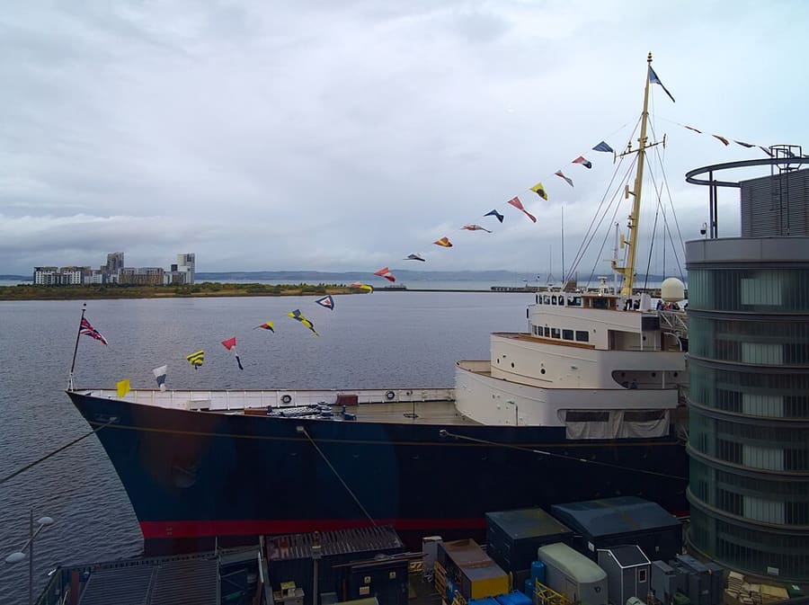
Royal Yacht Britannia
Voormalig koninklijk jacht, nu aangemeerd bij Ocean Terminal als drijvend museum.
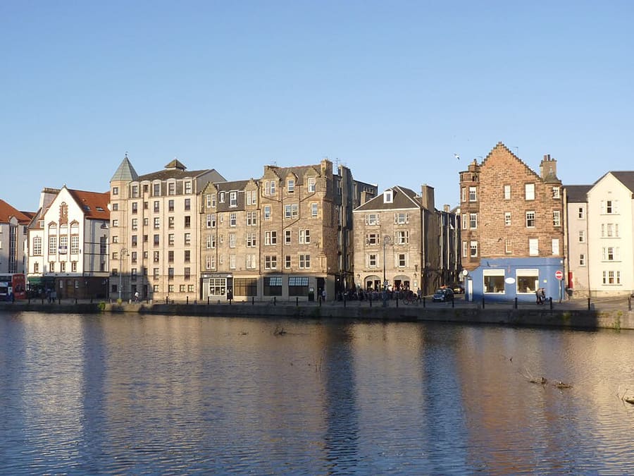
The Shore
Historische haven aan de Water of Leith, omzoomd door voormalige pakhuizen waar nu restaurants en bars zitten.
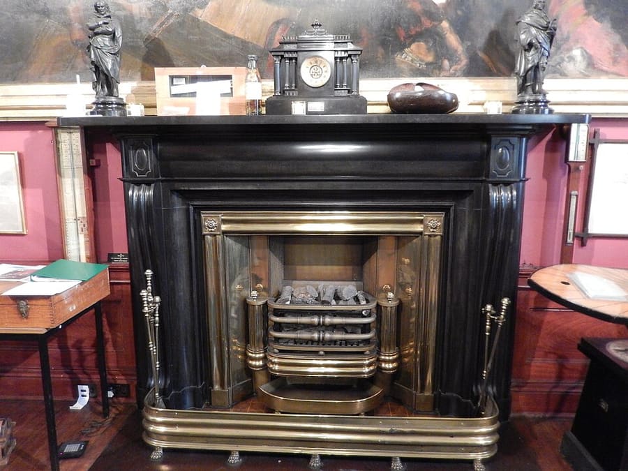
Trinity House
Scheepvaartmuseum in een historisch gebouw aan Kirkgate over het zeevarende verleden van Leith.
Edinburgh
More areas to explore
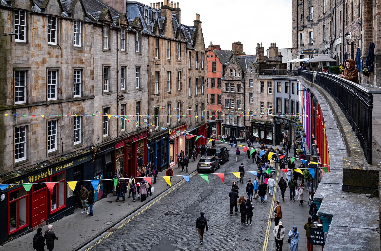
Grassmarket & Southside
Een marktplein onder het Castle, Greyfriars en het belangrijkste museum van de stad
Open de minigids →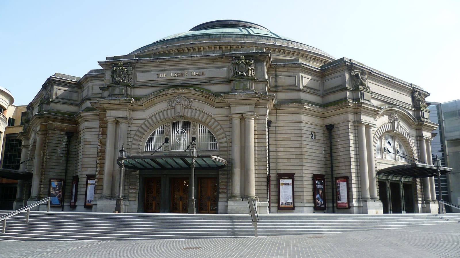
Haymarket & Murrayfield
De theaterwijk, het kanaalbassin, het rugbystadion en de dierentuin, allemaal ten westen van het Castle
Open de minigids →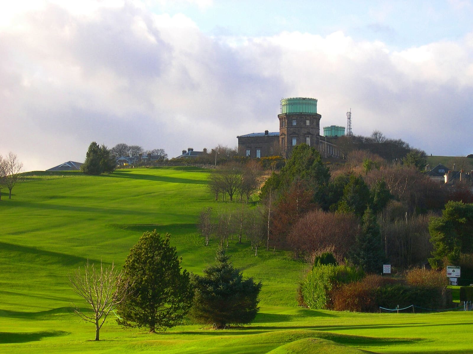
Bruntsfield & Morningside
Groene zuidelijke buitenwijken met lokale winkelstraten, Blackford Hill en een sterrenwacht op de heuvel
Open de minigids →Fotoverantwoording
- Newhaven Harbour: Steve Fareham, CC BY-SA 2.0, source
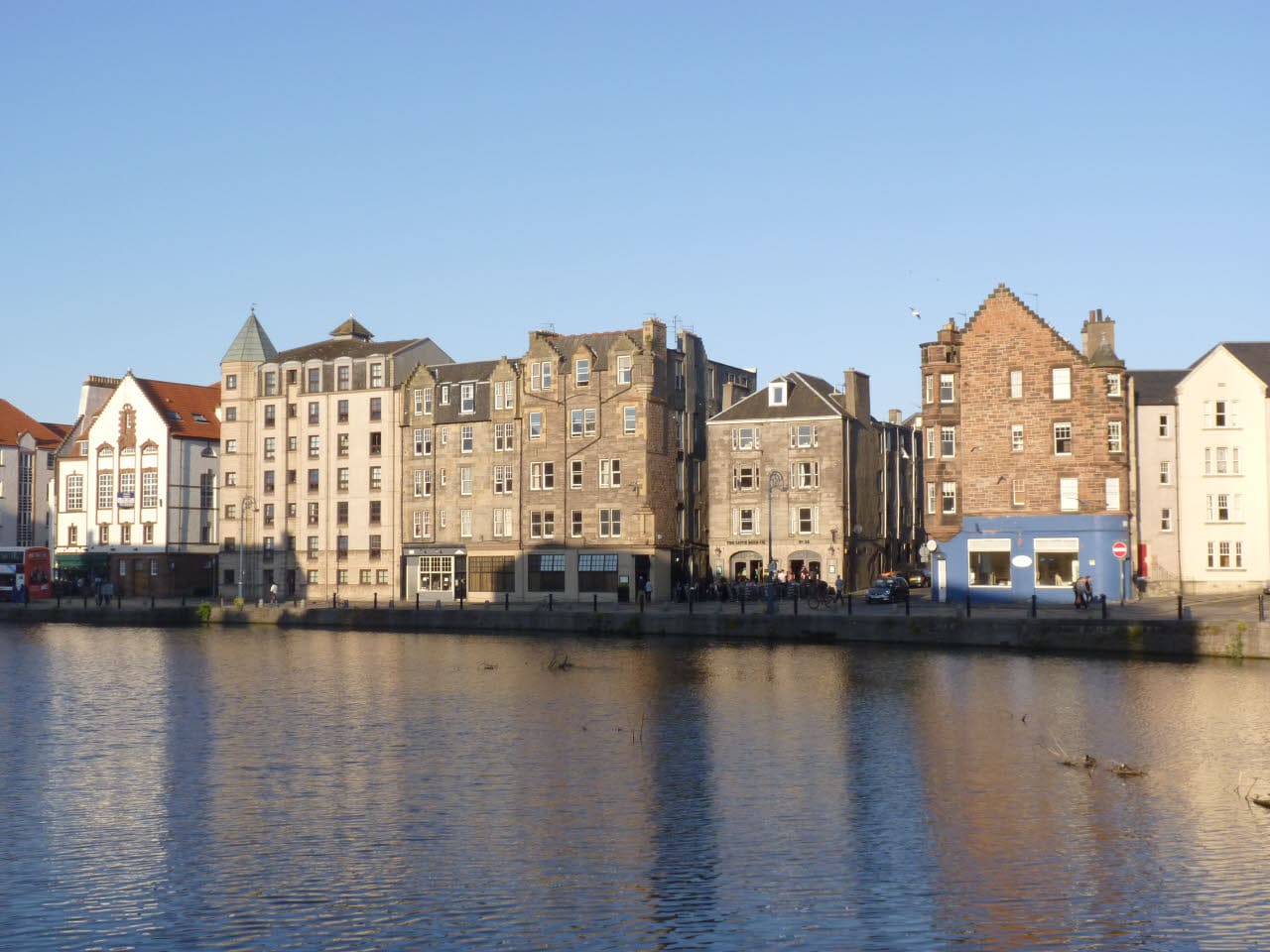
- Leith & the Waterfront (area photo): Alan Murray-Rust, CC BY-SA 2.0, source
- Royal Yacht Britannia: Daniel Kraft, CC BY-SA 3.0, source
- The Shore: Alan Murray-Rust, CC BY-SA 2.0, source
- Trinity House: AlasdairW, CC BY-SA 4.0, source
- Grassmarket & Southside: rboed*, CC BY 2.0, source
- Haymarket & Murrayfield: Kim Traynor, CC BY-SA 3.0, source
- Bruntsfield & Morningside: Macumba, Public domain, source
- Portobello & the Coast: M J Richardson, CC BY-SA 2.0, source
- Old Town & Royal Mile: Anthony O'Neil, CC BY-SA 2.0, source
- New Town: Chris Morgan, CC BY-SA 2.0, source
- Holyrood, Arthur's Seat & Calton Hill: Peulle, CC BY 4.0, source
- Stockbridge & Dean Village: Mike Shaw, CC BY-SA 4.0, source
Photos from Wikimedia Commons, used under the licences shown. All photo credits
Ontdek meer van Edinburgh