 English (UK)
 English (US)
 Français
 Deutsch
 Español
 Italiano
 Nederlands
 简体中文
A mini guide to
Leith & the Waterfront: getting there
Stops, stations and how to reach Leith & the Waterfront
Stops and stations
Getting to Leith & the Waterfront
Choose the stop closest to where you are going.
| Stop or station | Services | Good for |
|---|---|---|
| The Shore | Edinburgh Trams | Tram stop beside the waterfront restaurants |
| Foot of the Walk | Edinburgh Trams | Tram stop at the bottom of Leith Walk |
| Port of Leith | Edinburgh Trams | Tram stop for the docks and the northern waterfront |
| Ocean Terminal | Edinburgh Trams | Tram stop for the Royal Yacht Britannia |
| Newhaven | Edinburgh Trams | The terminus, beside Newhaven Harbour |
Within walking range
Stations near Leith & the Waterfront
Stations and stops mapped in OpenStreetMap within 2.5 km of the centre of Leith & the Waterfront, nearest first. Distances are straight lines; walking times assume 5 km/h and are a minimum.
| Station or stop | Type | Distance | On foot |
|---|---|---|---|
| Balfour Street | Tram stop (Edinburgh Trams Ltd.) | 1.2 km | about 15 min |
Station data: © OpenStreetMap contributors (ODbL), read 24 October 2026. Check step-free access with the operator before you travel.
Walking from nearby areas
- Holyrood, Arthur's Seat & Calton Hill: 2.6 km from Leith & the Waterfront, about 32 min on foot
- New Town: 3.0 km from Leith & the Waterfront, about 36 min on foot
- Old Town & Royal Mile: 3.3 km from Leith & the Waterfront, about 39 min on foot
- Stockbridge & Dean Village: 3.4 km from Leith & the Waterfront, about 41 min on foot
Reaching Edinburgh
Official travel information
Edinburgh has an international airport west of the centre, two main railway stations and a central bus station. Always check the operator for current times, fares and disruption.
- Edinburgh Airport: getting to and from the airport → — tram, bus, taxi and train
- Edinburgh Trams → — routes, stops and tickets
- Lothian Buses airport buses → — Airlink
- National Rail Enquiries → — train times and fares
- ScotRail → — trains across Scotland
- Traveline Scotland → — journey planner for buses, trams and trains
- City of Edinburgh Council: plan your journey → — official travel information
- Visit Edinburgh: transport options → — all the ways to arrive
Times, fares and disruption change: use the operator pages above for live information.
Plan your journey here
Enter your starting point and Google Maps will show routes to Leith & the Waterfront. Public transport is selected; change it on the map. Check operator sites for live disruption.
While you are here
Things to see in Leith & the Waterfront
A few of the sights in the area. The Things to do page lists them all, with directions and official links.
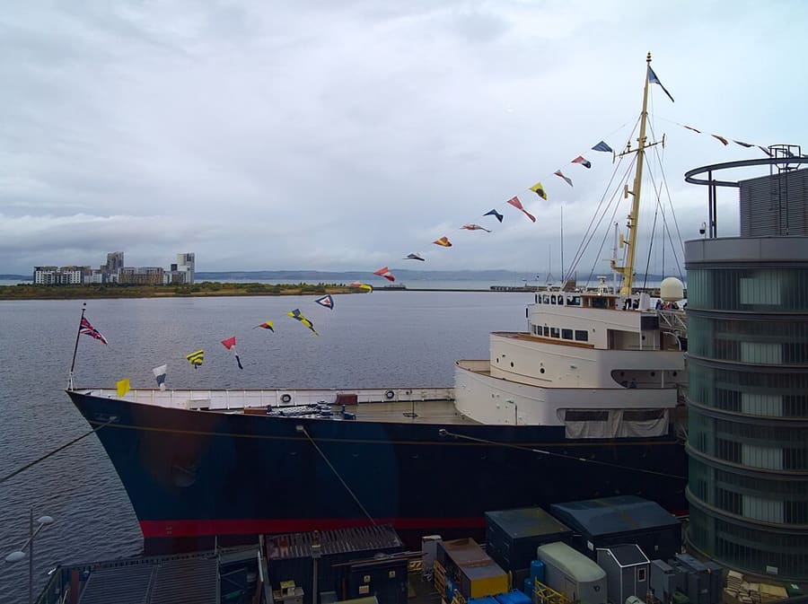
Royal Yacht Britannia
Former royal yacht, now moored at Ocean Terminal as a floating museum.
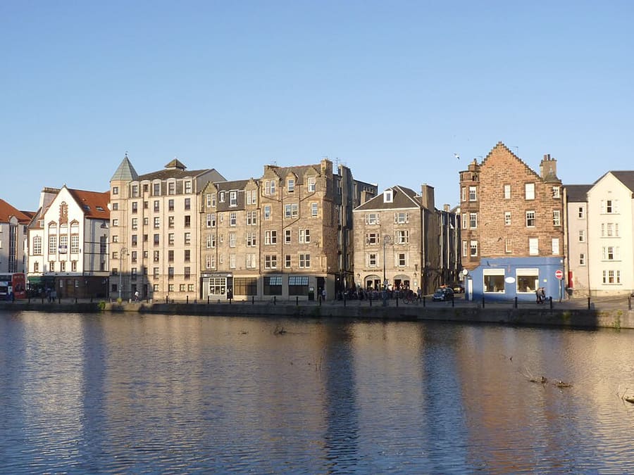
The Shore
Historic harbour on the Water of Leith, lined with former warehouses now home to restaurants and bars.
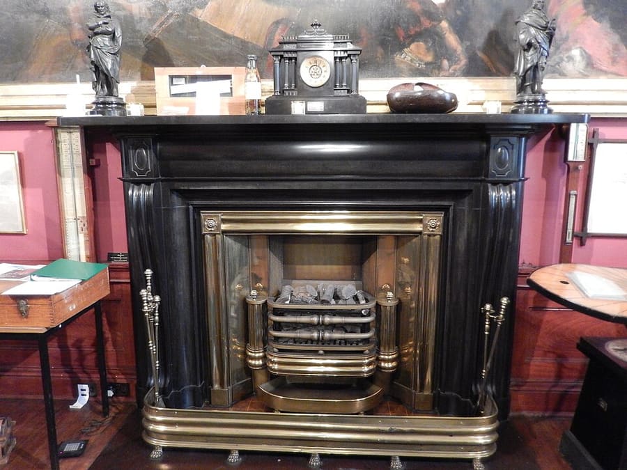
Trinity House
Maritime museum in a historic building on Kirkgate, about Leith's seafaring past.
Edinburgh
More areas to explore
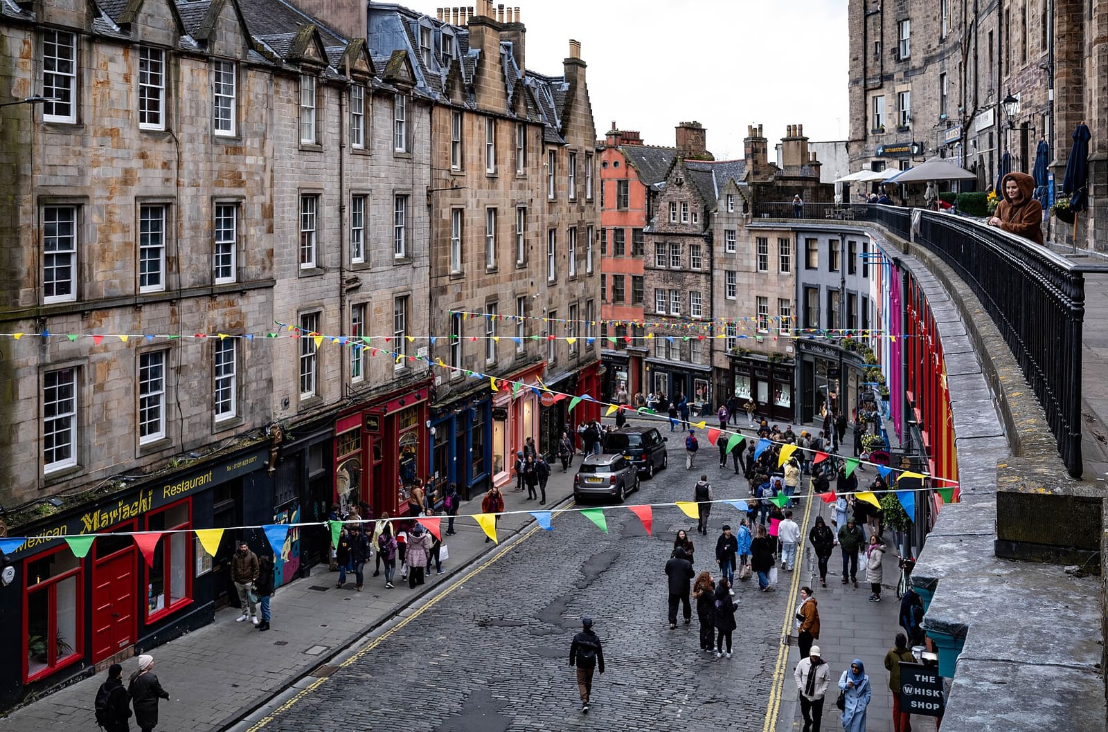
Grassmarket & Southside
A market square under the Castle, Greyfriars and the city's main museum
Open the mini guide →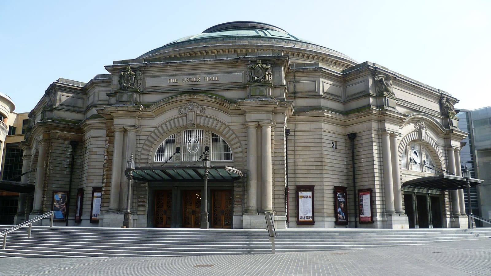
Haymarket & Murrayfield
The theatre district, the canal basin, the rugby stadium and the zoo, all west of the Castle
Open the mini guide →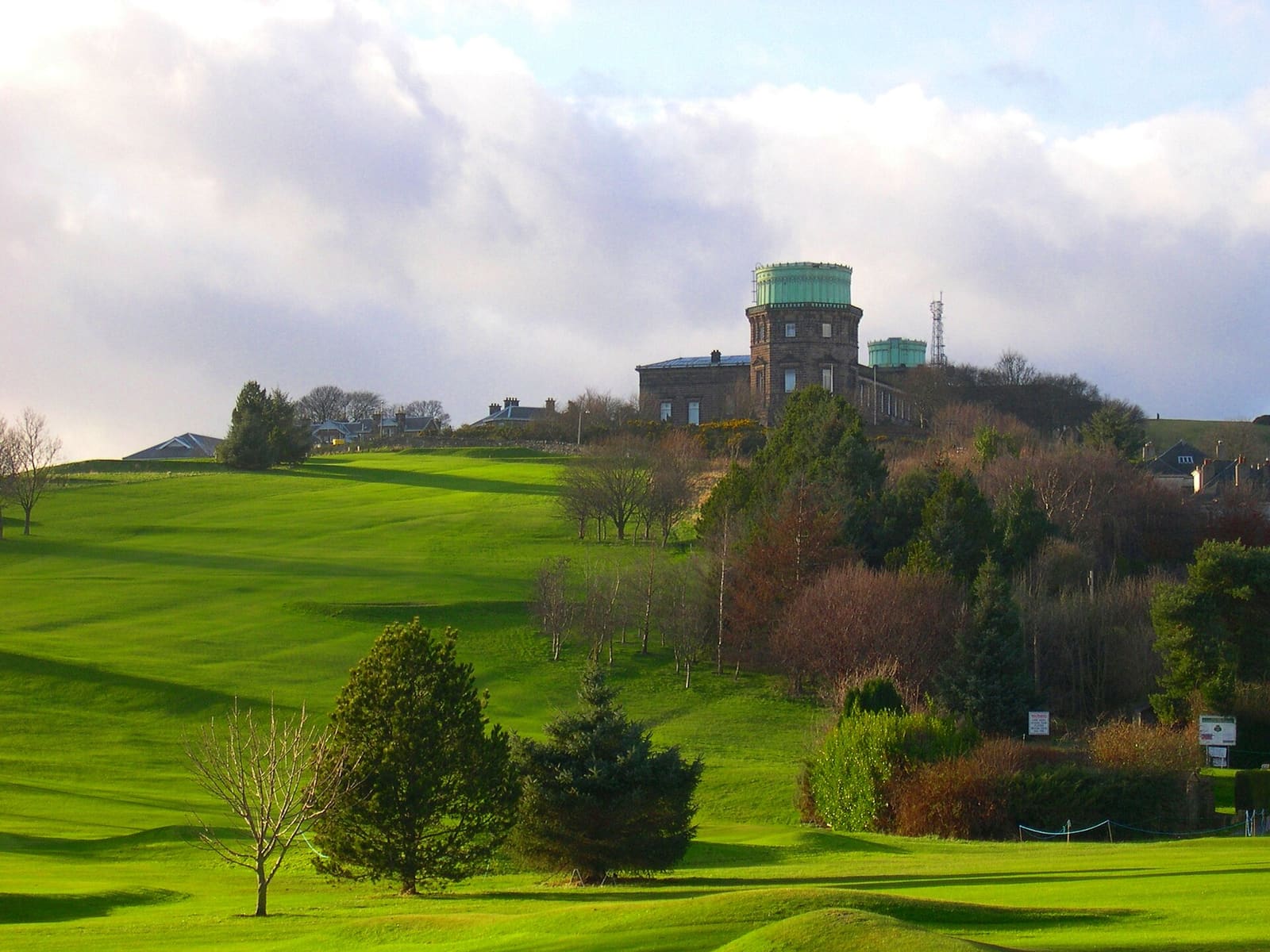
Bruntsfield & Morningside
Leafy southern suburbs with local high streets, Blackford Hill and a hillside observatory
Open the mini guide →Photo credits
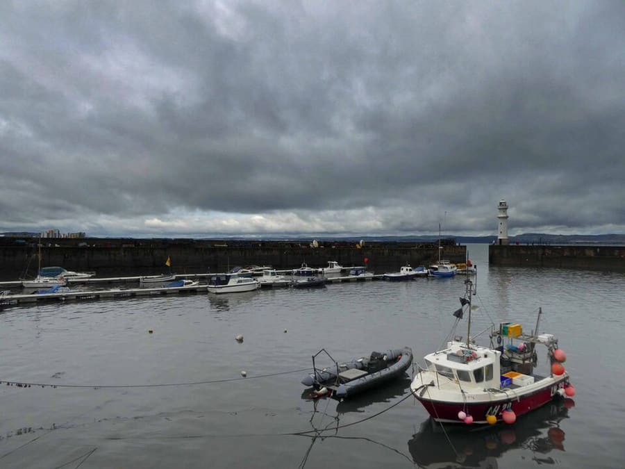
- Newhaven Harbour: Steve Fareham, CC BY-SA 2.0, source
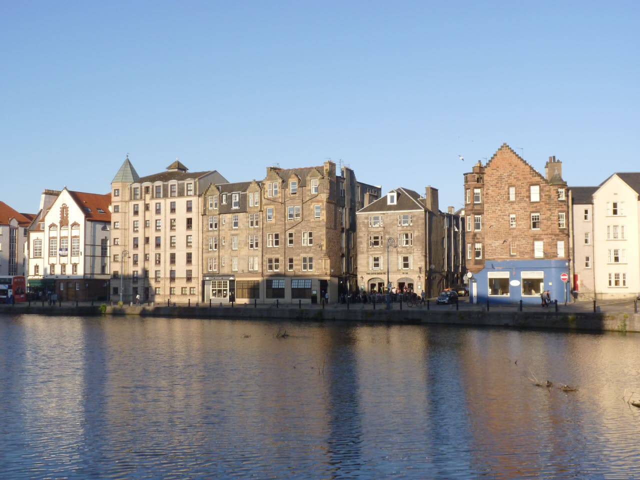
- Leith & the Waterfront (area photo): Alan Murray-Rust, CC BY-SA 2.0, source
- Royal Yacht Britannia: Daniel Kraft, CC BY-SA 3.0, source
- The Shore: Alan Murray-Rust, CC BY-SA 2.0, source
- Trinity House: AlasdairW, CC BY-SA 4.0, source
- Grassmarket & Southside: rboed*, CC BY 2.0, source
- Haymarket & Murrayfield: Kim Traynor, CC BY-SA 3.0, source
- Bruntsfield & Morningside: Macumba, Public domain, source
- Portobello & the Coast: M J Richardson, CC BY-SA 2.0, source
- Old Town & Royal Mile: Anthony O'Neil, CC BY-SA 2.0, source
- New Town: Chris Morgan, CC BY-SA 2.0, source
- Holyrood, Arthur's Seat & Calton Hill: Peulle, CC BY 4.0, source
- Stockbridge & Dean Village: Mike Shaw, CC BY-SA 4.0, source
Photos from Wikimedia Commons, used under the licences shown. All photo credits
Keep exploring Edinburgh