 English (UK)
 English (US)
 Français
 Deutsch
 Español
 Italiano
 Nederlands
 简体中文
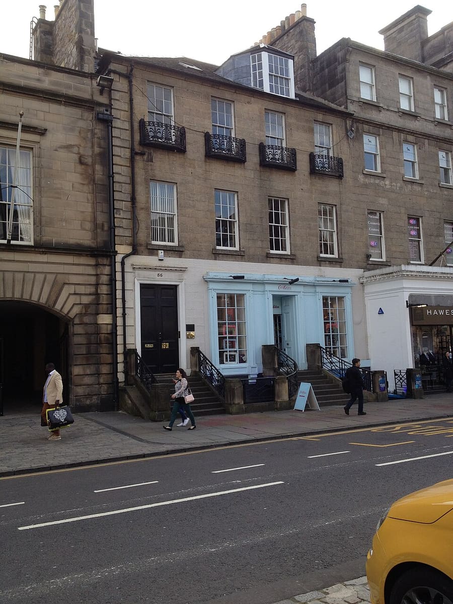
A mini guide to
New Town: getting there
Stops, stations and how to reach New Town
Stops and stations
Getting to New Town
Choose the stop closest to where you are going.
| Stop or station | Services | Good for |
|---|---|---|
| Edinburgh Waverley | ScotRail, LNER and other operators | The main station, at the east end of Princes Street Gardens |
| Haymarket | ScotRail and Edinburgh Trams | Rail and tram stop at the west end of the New Town |
| St Andrew Square | Edinburgh Trams | Tram stop for George Street and Waverley |
| Princes Street | Edinburgh Trams | Tram stop for the galleries and the gardens |
| West End | Edinburgh Trams | Tram stop for Charlotte Square and the west New Town |
| Edinburgh Bus Station | National Express, Megabus and other coaches | Coaches arrive just off St Andrew Square |
Within walking range
Stations near New Town
Stations and stops mapped in OpenStreetMap within 2.5 km of the centre of New Town, nearest first. Distances are straight lines; walking times assume 5 km/h and are a minimum.
| Station or stop | Type | Distance | On foot |
|---|---|---|---|
| Picardy Place | Tram stop (Edinburgh Trams Ltd.) | 800 m | about 9 min |
| McDonald Road | Tram stop (Edinburgh Trams Ltd.) | 1.3 km | about 15 min |
Station data: © OpenStreetMap contributors (ODbL), read 24 October 2026. Check step-free access with the operator before you travel.
Walking from nearby areas
- Old Town & Royal Mile: 500 m from New Town, about 6 min on foot
- Grassmarket & Southside: 900 m from New Town, about 11 min on foot
- Stockbridge & Dean Village: 1000 m from New Town, about 12 min on foot
- Holyrood, Arthur's Seat & Calton Hill: 1.3 km from New Town, about 16 min on foot
Reaching Edinburgh
Official travel information
Edinburgh has an international airport west of the centre, two main railway stations and a central bus station. Always check the operator for current times, fares and disruption.
- Edinburgh Airport: getting to and from the airport → — tram, bus, taxi and train
- Edinburgh Trams → — routes, stops and tickets
- Lothian Buses airport buses → — Airlink
- National Rail Enquiries → — train times and fares
- ScotRail → — trains across Scotland
- Traveline Scotland → — journey planner for buses, trams and trains
- City of Edinburgh Council: plan your journey → — official travel information
- Visit Edinburgh: transport options → — all the ways to arrive
Times, fares and disruption change: use the operator pages above for live information.
Plan your journey here
Enter your starting point and Google Maps will show routes to New Town. Public transport is selected; change it on the map. Check operator sites for live disruption.
While you are here
Things to see in New Town
A few of the sights in the area. The Things to do page lists them all, with directions and official links.
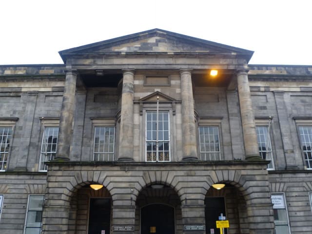
The Assembly Rooms
Georgian assembly hall on George Street, used for concerts and festival events.
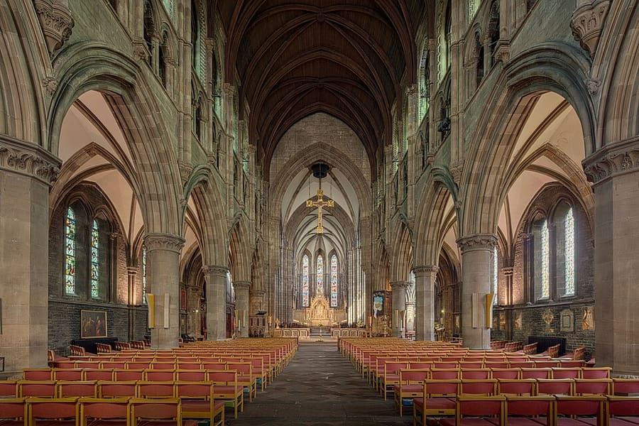
St Mary's Cathedral
Victorian Episcopal cathedral on Palmerston Place, with three spires.
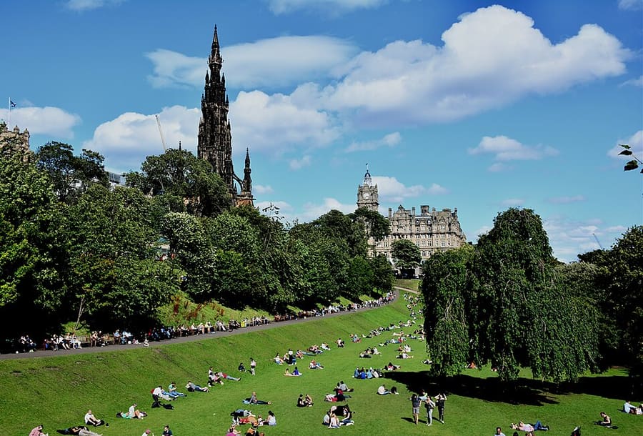
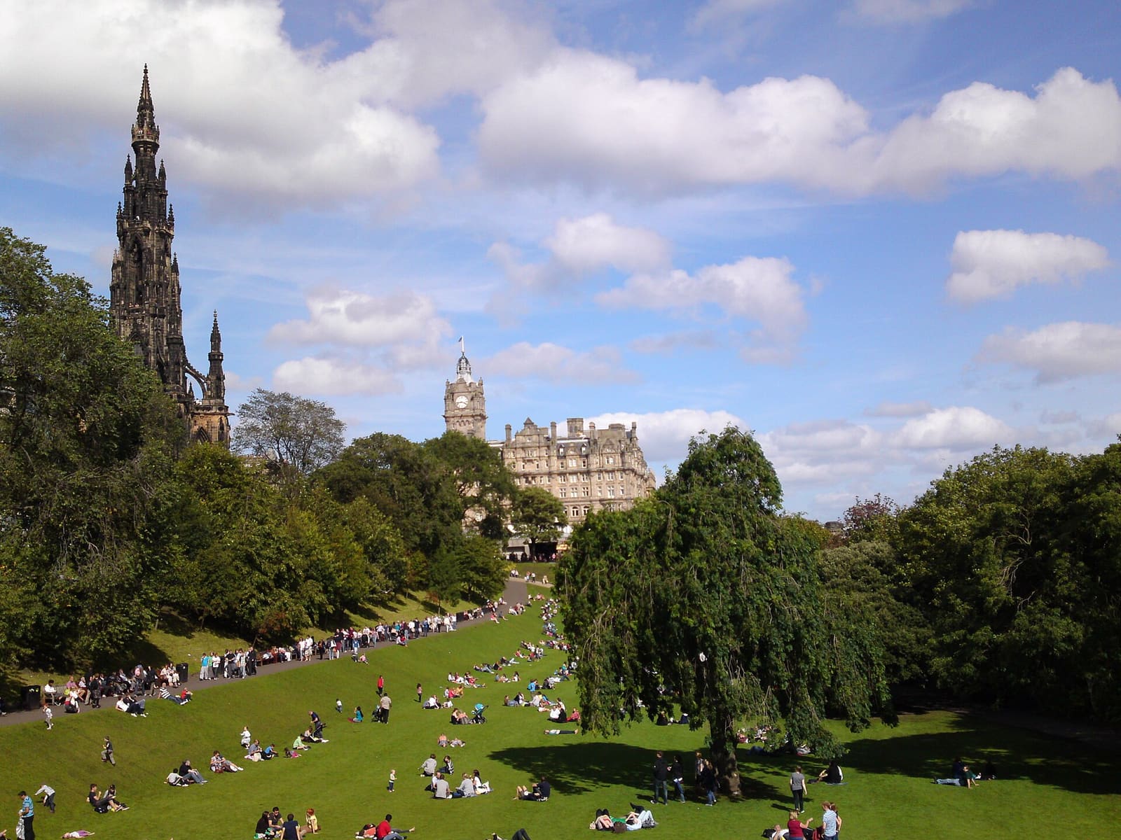
Princes Street Gardens
Public gardens below the Castle rock, between the Old Town and Princes Street.
Edinburgh
More areas to explore
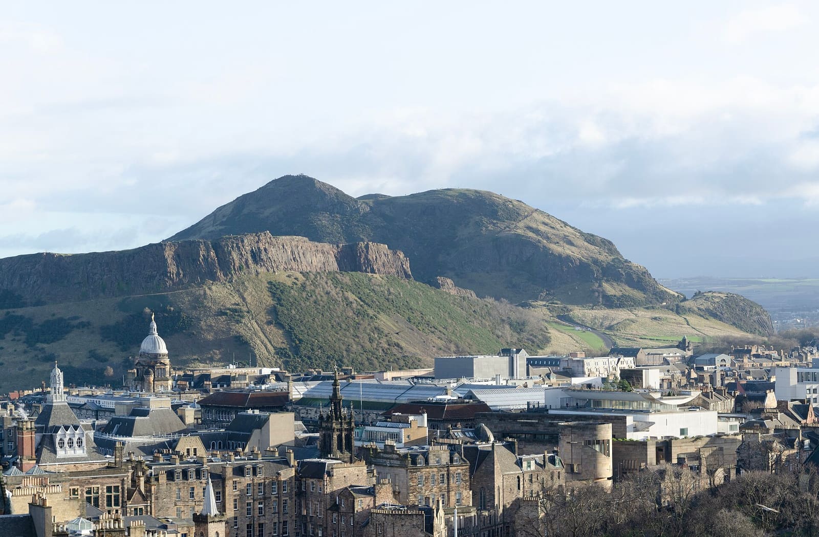
Holyrood, Arthur's Seat & Calton Hill
A royal palace, a Parliament and two hills with city views
Open the mini guide →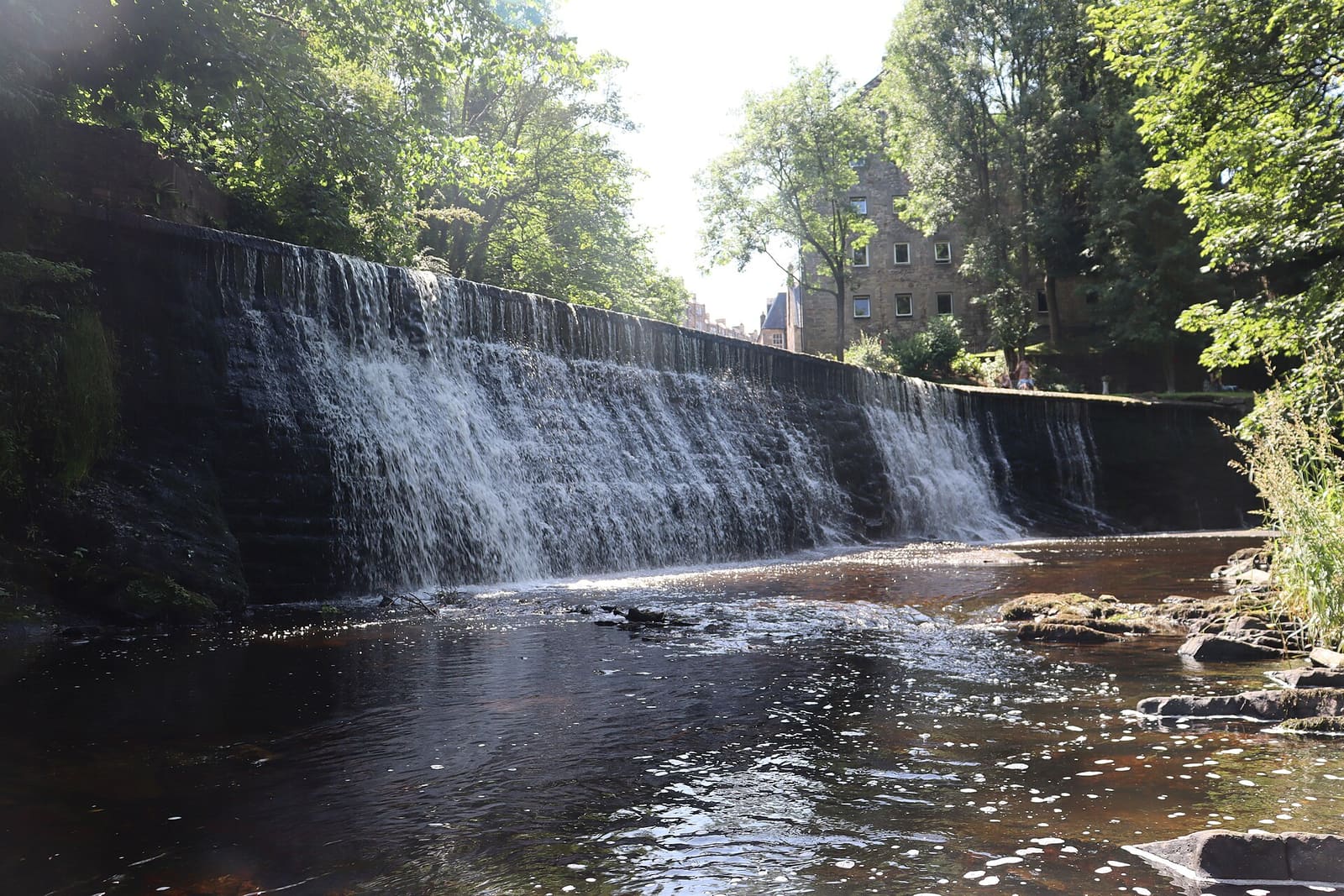
Stockbridge & Dean Village
A riverside village, a botanic garden and Edinburgh's best-loved suburb
Open the mini guide →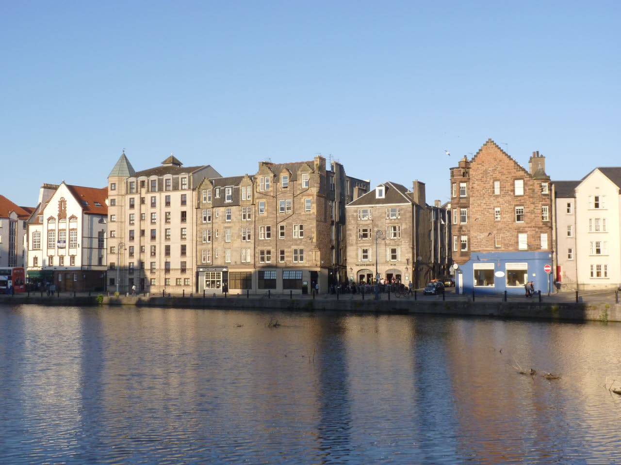
Leith & the Waterfront
A historic port with a royal yacht, a lively waterfront and some of the city's best food
Open the mini guide →Photo credits
- George Street: SylviaStanley, CC BY-SA 4.0, source
- New Town (area photo): Chris Morgan, CC BY-SA 2.0, source
- The Assembly Rooms: kim traynor, CC BY-SA 2.0, source
- St Mary's Cathedral: Michael D Beckwith, CC0, source
- Princes Street Gardens: Mike McBey, CC BY 2.0, source
- Holyrood, Arthur's Seat & Calton Hill: Peulle, CC BY 4.0, source
- Stockbridge & Dean Village: Mike Shaw, CC BY-SA 4.0, source
- Leith & the Waterfront: Alan Murray-Rust, CC BY-SA 2.0, source
- Grassmarket & Southside: rboed*, CC BY 2.0, source
- Haymarket & Murrayfield: Kim Traynor, CC BY-SA 3.0, source
- Bruntsfield & Morningside: Macumba, Public domain, source
- Portobello & the Coast: M J Richardson, CC BY-SA 2.0, source
- Old Town & Royal Mile: Anthony O'Neil, CC BY-SA 2.0, source
Photos from Wikimedia Commons, used under the licences shown. All photo credits
Keep exploring Edinburgh