 English (UK)
 English (US)
 Français
 Deutsch
 Español
 Italiano
 Nederlands
 简体中文
迷你指南:
The Causeway Coast:前往方式
前往The Causeway Coast的站点、车站与交通方式
站点与车站
前往 The Causeway Coast
请选择离目的地最近的站点。
| 站点或车站 | 服务 | 适合 |
|---|---|---|
| Portrush | 火车 | Coleraine至Portrush线路的终点站,位于海岸西端的海滨度假小镇 |
| Coleraine | 火车与巴士 | 与 Ulsterbus 车场共用设施的车站,可换乘沿海线路 |
| Causeway Coastal Route | 驾车路线 | Causeway Coast and Glens 旅游网站所列的这段海岸沿线风景自驾路线 |
| Ballycastle | 渡轮 | 据Wikipedia介绍,Rathlin Island Ferry驶往Rathlin Island上的Church Bay |
Within walking range
Stations near The Causeway Coast
Stations and stops mapped in OpenStreetMap within 2.5 km of the centre of The Causeway Coast, nearest first. Distances are straight lines; walking times assume 5 km/h and are a minimum.
| Station or stop | 类型 | 距离 | 步行 |
|---|---|---|---|
| Giant's Causeway | Heritage railway (Giant's Causeway & Bushmills Railway) | 1.7 km | about 20 min |
| Bushmills | Heritage railway (Giant's Causeway & Bushmills Railway) | 2.3 km | about 28 min |
Station data: © OpenStreetMap contributors (ODbL), read 1 November 2026. Check step-free access with the operator before you travel.
Walking from nearby areas
- Derry~Londonderry: 57.1 km from The Causeway Coast, better by public transport
- Belfast city centre & Cathedral Quarter: 78.1 km from The Causeway Coast, better by public transport
- Titanic Quarter & East Belfast: 78.3 km from The Causeway Coast, better by public transport
- The Mournes & Newcastle: 118.4 km from The Causeway Coast, better by public transport
前往 北爱尔兰
官方出行信息
北爱尔兰有两座贝尔法斯特机场,德里~伦敦德里设有一座区域机场,贝尔法斯特和 Larne 设有渡轮港口,铁路和巴士网络由 Translink 运营。出行前请务必向运营商确认最新时刻、票价和运营中断情况。
- Discover Northern Ireland →——北爱尔兰旅游局官方游客网站
- Visit Belfast →——该城市的官方游客网站
- Visit Derry →——Derry~Londonderry 官方旅游网站
- Causeway Coast and Glens →——北部海岸官方指南
- Fermanagh Lakelands →——Fermanagh 官方旅游网站
- Visit Mourne Mountains → — official tourism site for the Mournes and Ring of Gullion
- Translink →——北爱尔兰各地的巴士与列车
- Belfast International Airport →——航班与接驳
- George Best Belfast City Airport →——航班与接驳
- City of Derry Airport →——西北部航班
- Stena Line →——前往 Belfast 的渡轮
- P&O Ferries →——前往 Larne 的渡轮
- GOV.UK: electronic travel authorisation →——哪些人需要办理 ETA 才能访问英国
班次时间、票价和运营中断情况可能变动:请通过上方运营方页面查看实时信息。
在此规划行程
输入起点,Google Maps 将显示前往The Causeway Coast的路线。已默认选择公共交通,可在地图上更改。实时中断信息请查看运营方网站。
While you are here
Things to see in The Causeway Coast
A few of the sights in the area. The Things to do page lists them all, with directions and official links.
图片来源
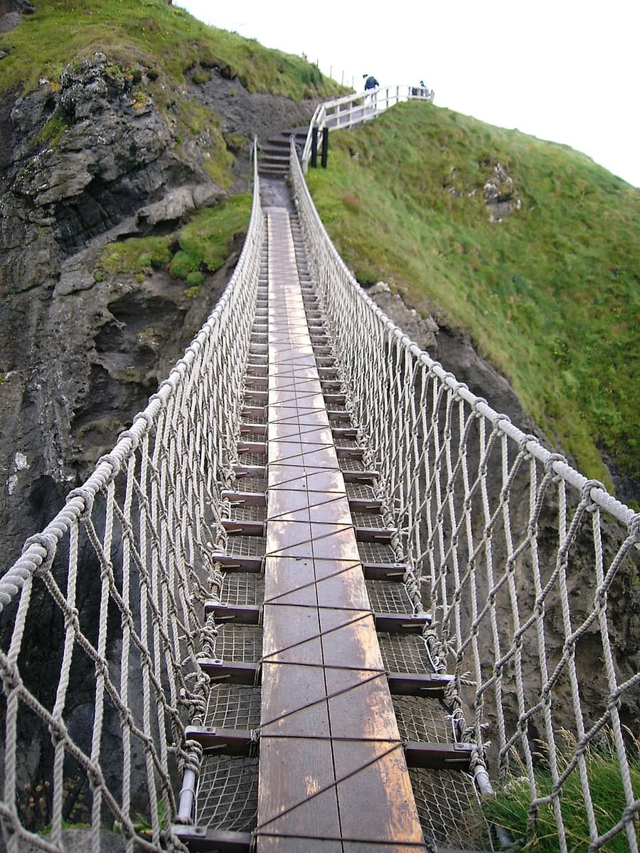
- Carrick-a-Rede: Stuart Yeates, CC BY-SA 2.0, source
- The Causeway Coast (area photo): Ajay Suresh from New York, NY, USA, CC BY 2.0, source
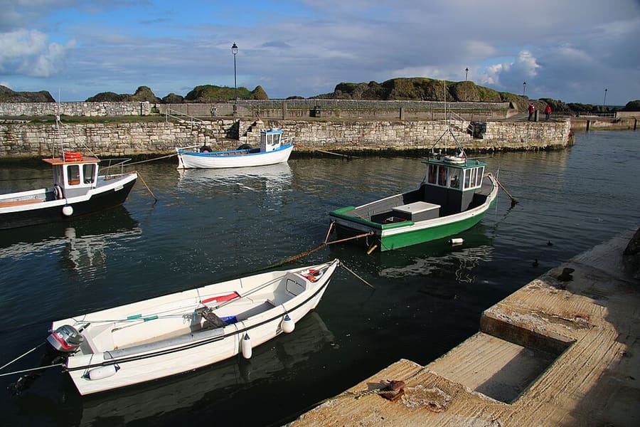
- Ballintoy Harbour: Bob Jones, CC BY-SA 2.0, source
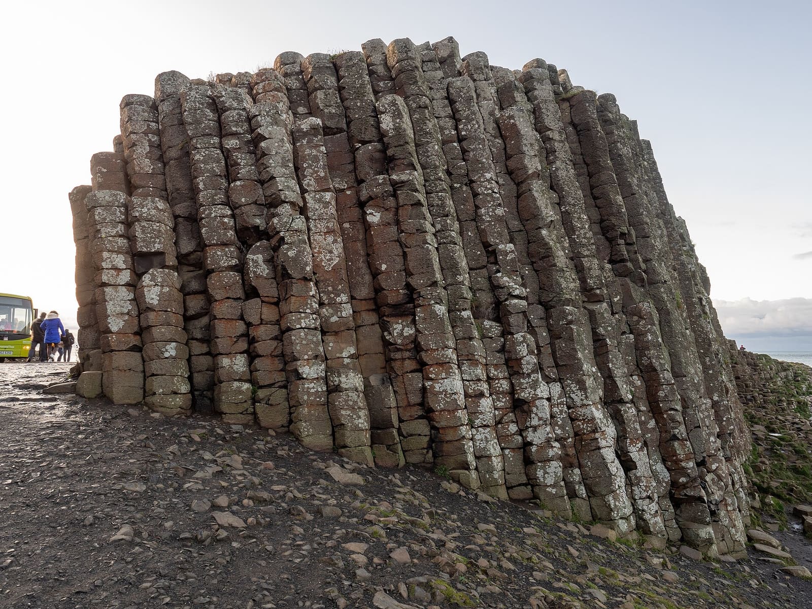
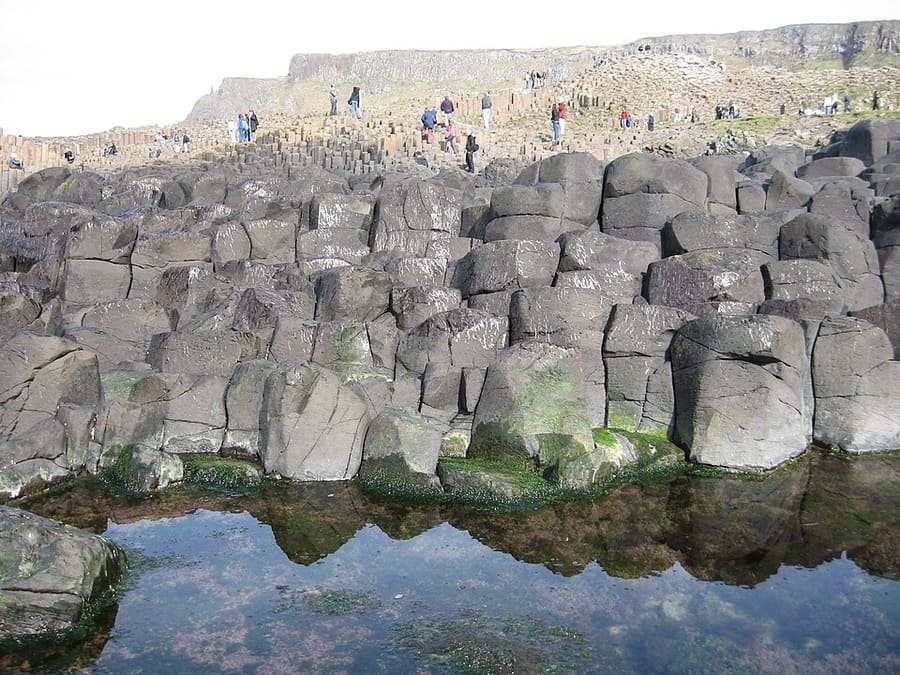
- Giant's Causeway: Quichot (uploader), Public domain, source
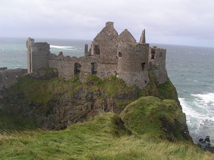
- Dunluce Castle: Aph-ch (uploader), Public domain, source
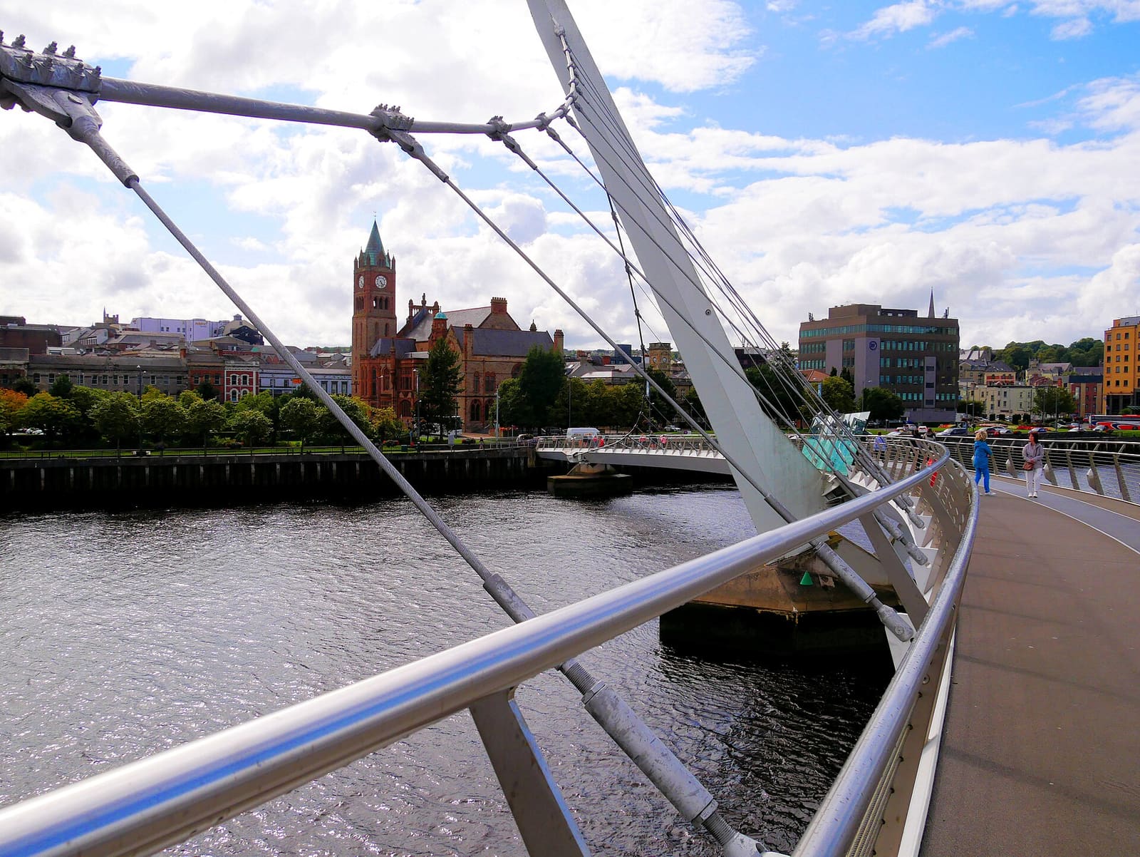
- Derry~Londonderry: Mario Falcetti, CC BY 4.0, source
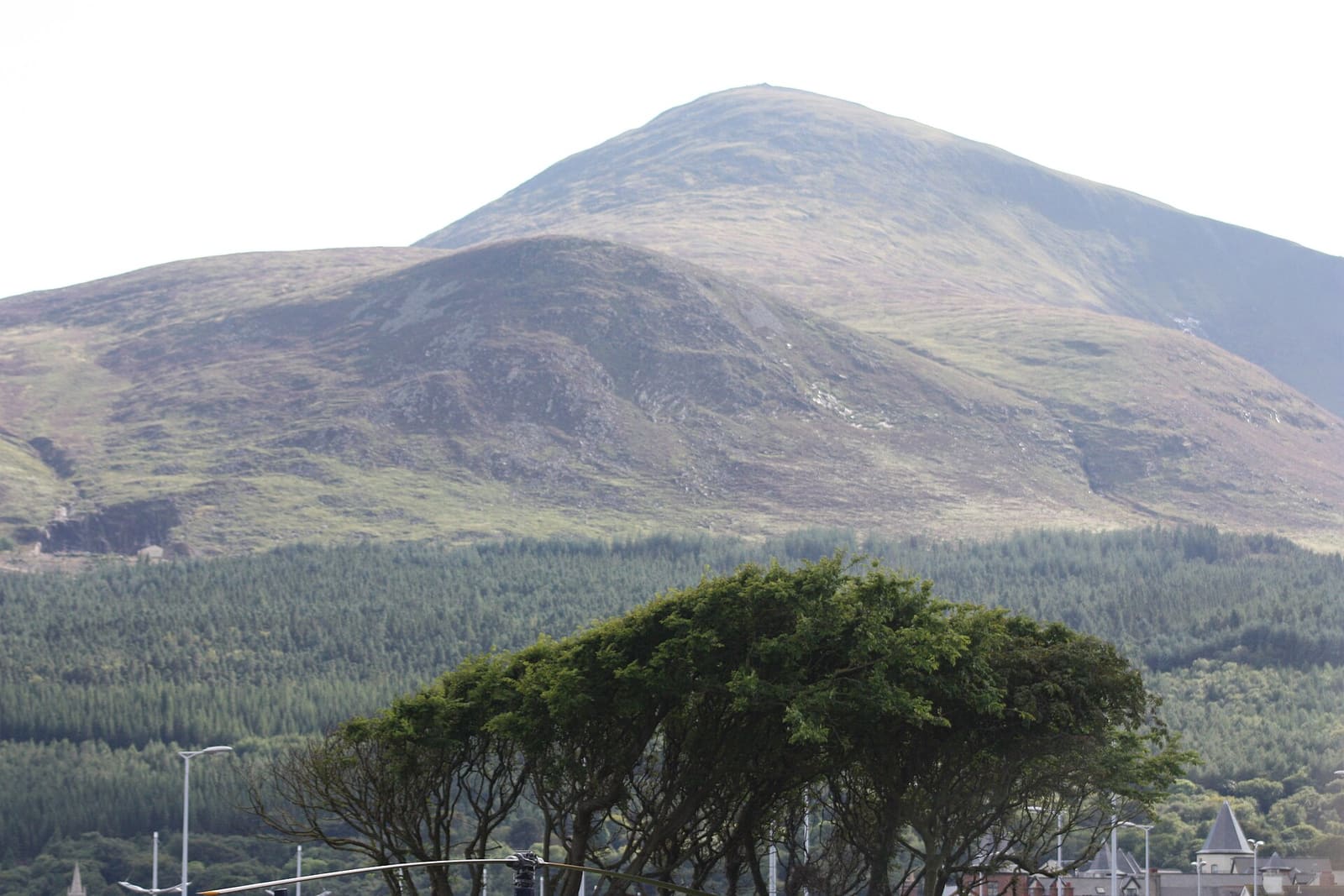
- The Mournes & Newcastle: Ardfern, CC BY-SA 3.0, source
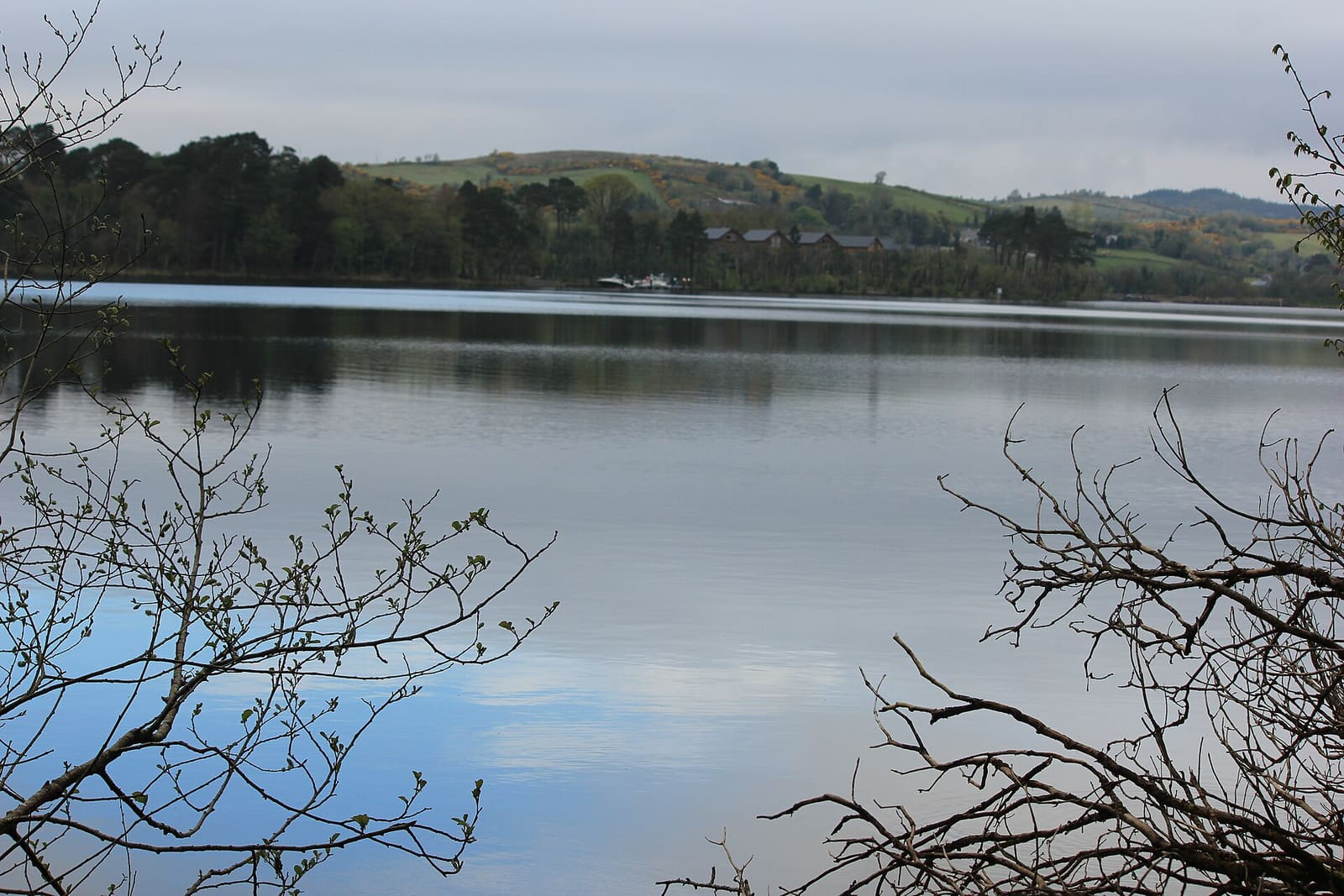
- Fermanagh Lakelands: Joli, CC BY-SA 4.0, source
- Belfast city centre & Cathedral Quarter: Bryn Holmes, CC BY-SA 2.0, source
- Titanic Quarter & East Belfast: Suicasmo, CC BY-SA 4.0, source
Photos from Wikimedia Commons, used under the licences shown. All photo credits