 English (UK)
 English (US)
 Français
 Deutsch
 Español
 Italiano
 Nederlands
 简体中文
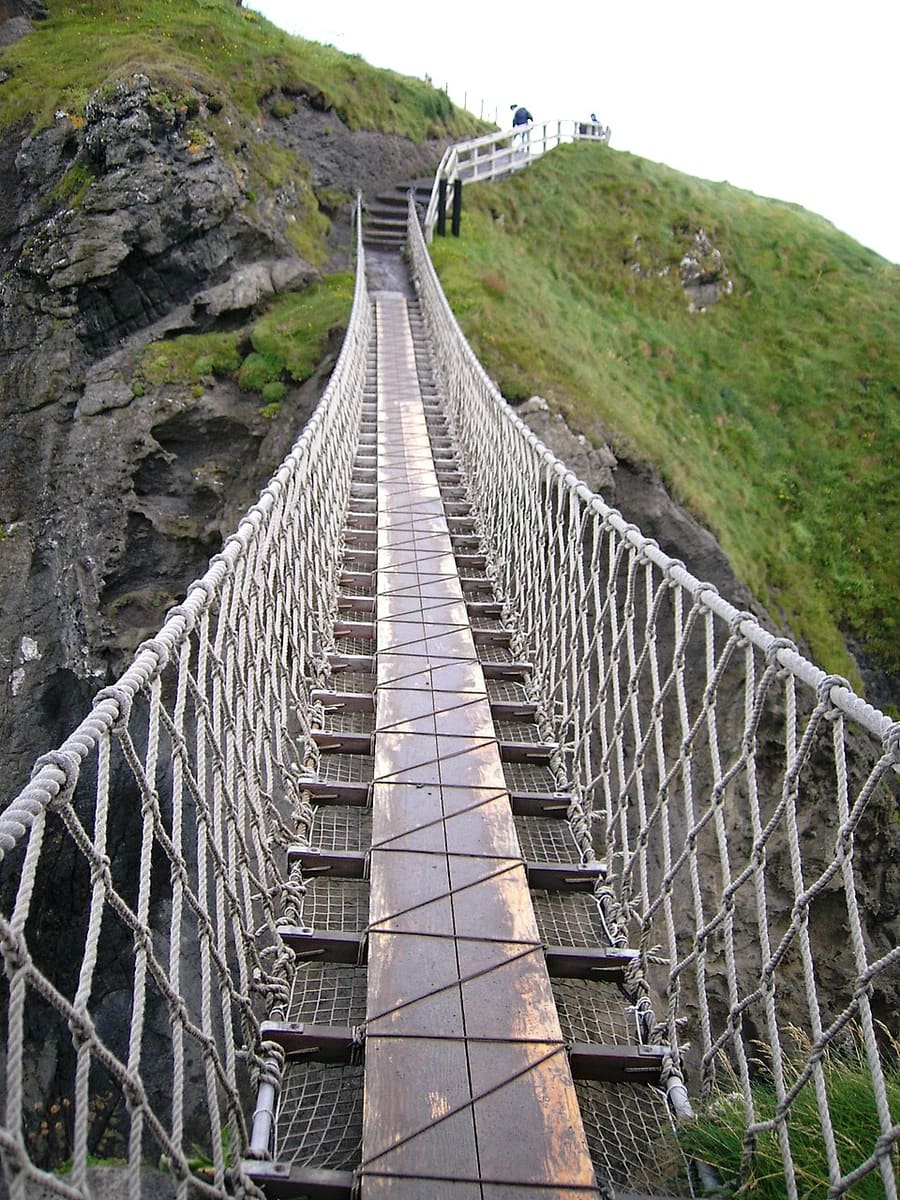
Ein Mini-Guide zu
The Causeway Coast: Anreise
Haltestellen, Stationen und Anreise: The Causeway Coast
Haltestellen und Stationen
Anreise nach The Causeway Coast
Wählen Sie die Haltestelle, die Ihrem Ziel am nächsten liegt.
| Haltestelle oder Station | Services | Gut für |
|---|---|---|
| Portrush | Züge | Endstation der Strecke Coleraine–Portrush im Seebad am westlichen Ende der Küste |
| Coleraine | Züge und Busse | Bahnhof, der sich Einrichtungen mit dem Ulsterbus-Depot teilt, für Anschlüsse entlang der Küste |
| Causeway Coastal Route | Fahrroute | Panoramastraße, die die Tourismusseite der Causeway Coast and Glens als Route entlang dieser Küste nennt |
| Ballycastle | Fähre | Die Rathlin Island Ferry fährt laut Wikipedia nach Church Bay auf Rathlin Island |
Within walking range
Stations near The Causeway Coast
Stations and stops mapped in OpenStreetMap within 2.5 km of the centre of The Causeway Coast, nearest first. Distances are straight lines; walking times assume 5 km/h and are a minimum.
| Station or stop | Art | Entfernung | Zu Fuß |
|---|---|---|---|
| Giant's Causeway | Heritage railway (Giant's Causeway & Bushmills Railway) | 1.7 km | about 20 min |
| Bushmills | Heritage railway (Giant's Causeway & Bushmills Railway) | 2.3 km | about 28 min |
Station data: © OpenStreetMap contributors (ODbL), read 1 November 2026. Check step-free access with the operator before you travel.
Walking from nearby areas
- Derry~Londonderry: 57.1 km from The Causeway Coast, better by public transport
- Belfast city centre & Cathedral Quarter: 78.1 km from The Causeway Coast, better by public transport
- Titanic Quarter & East Belfast: 78.3 km from The Causeway Coast, better by public transport
- The Mournes & Newcastle: 118.4 km from The Causeway Coast, better by public transport
Anreise nach Nordirland
Offizielle Reiseinformationen
Nordirland hat zwei Flughäfen für Belfast, einen Regionalflughafen in Derry~Londonderry, Fährhäfen in Belfast und Larne sowie ein von Translink betriebenes Bahn- und Busnetz. Prüfen Sie stets beim Betreiber die aktuellen Zeiten, Preise und Störungen.
- Discover Northern Ireland → — die offizielle Besucherseite von Tourism Northern Ireland
- Visit Belfast → — die offizielle Besucherseite der Stadt
- Visit Derry → — offizielle Tourismus-Website für Derry~Londonderry
- Causeway Coast and Glens → — der offizielle Guide für die Nordküste
- Fermanagh Lakelands → — offizielle Tourismus-Website für Fermanagh
- Visit Mourne Mountains → — official tourism site for the Mournes and Ring of Gullion
- Translink → — Busse und Züge in ganz Nordirland
- Belfast International Airport → — Flüge und Transfers
- George Best Belfast City Airport → — Flüge und Transfers
- City of Derry Airport → — Flüge für den Nordwesten
- Stena Line → — Fähren nach Belfast
- P&O Ferries → — Fähren nach Larne
- GOV.UK: electronic travel authorisation → — wer für die Einreise ins Vereinigte Königreich eine ETA benötigt
Zeiten, Preise und Störungen ändern sich: Aktuelle Informationen finden Sie auf den Seiten der Betreiber oben.
Fahrt hierher planen
Geben Sie Ihren Startpunkt ein, und Google Maps zeigt Ihnen Routen nach The Causeway Coast. Öffentliche Verkehrsmittel sind voreingestellt; Sie können das auf der Karte ändern. Aktuelle Störungen finden Sie auf den Websites der Betreiber.
While you are here
Things to see in The Causeway Coast
A few of the sights in the area. The Things to do page lists them all, with directions and official links.
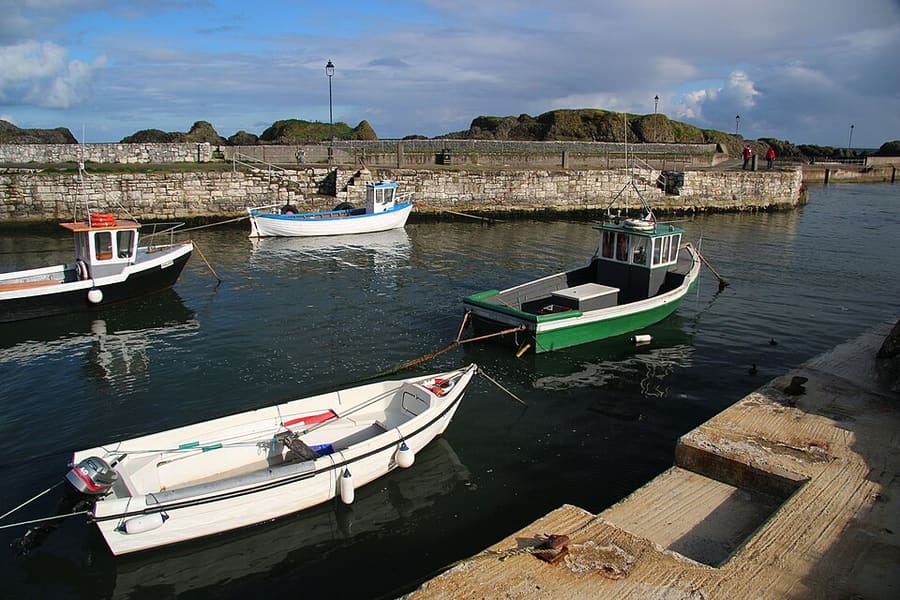
Ballintoy Harbour
Kleiner Fischerhafen am Ende einer steilen Straße hinunter vom Dorf Ballintoy, nahe der Abzweigung nach Carrick-a-Rede.
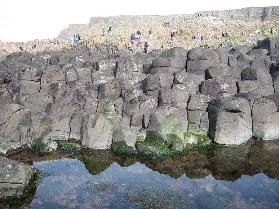
Giant's Causeway
Rund 40.000 ineinandergreifende Basaltsäulen an der Nordküste, seit 1986 UNESCO-Welterbe.
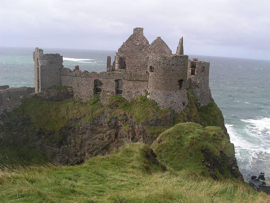
Dunluce Castle
Mittelalterliche Burgruine, Sitz des Clans MacQuillan, auf einem Basaltfelsen, der über eine Brücke vom Festland aus erreichbar ist.
Nordirland
More areas to explore
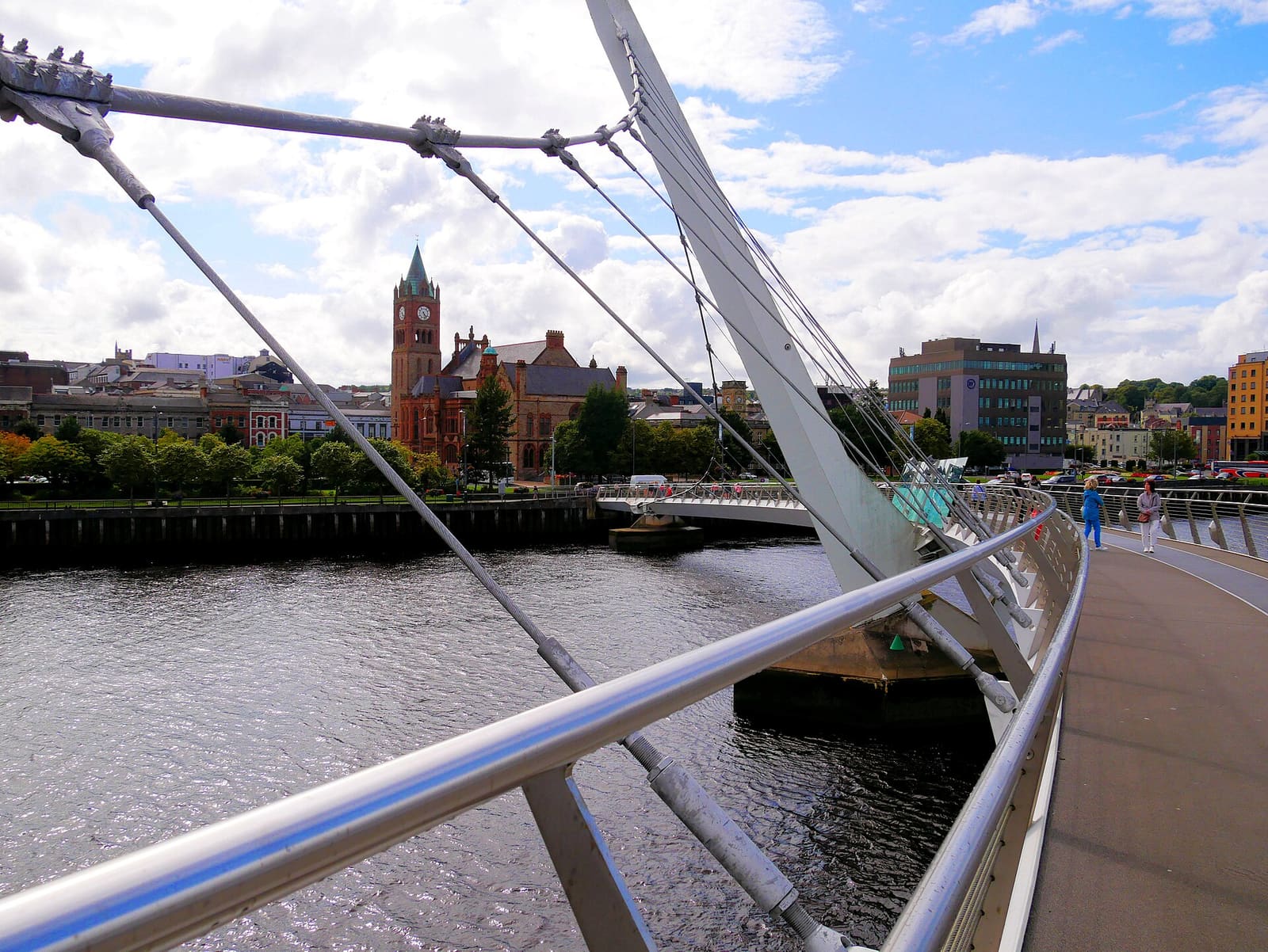
Derry~Londonderry
Eine von Mauern umgebene Stadt am River Foyle mit Museen, Kathedralen und einer Fußgängerbrücke über das Wasser
Mini-Guide öffnen →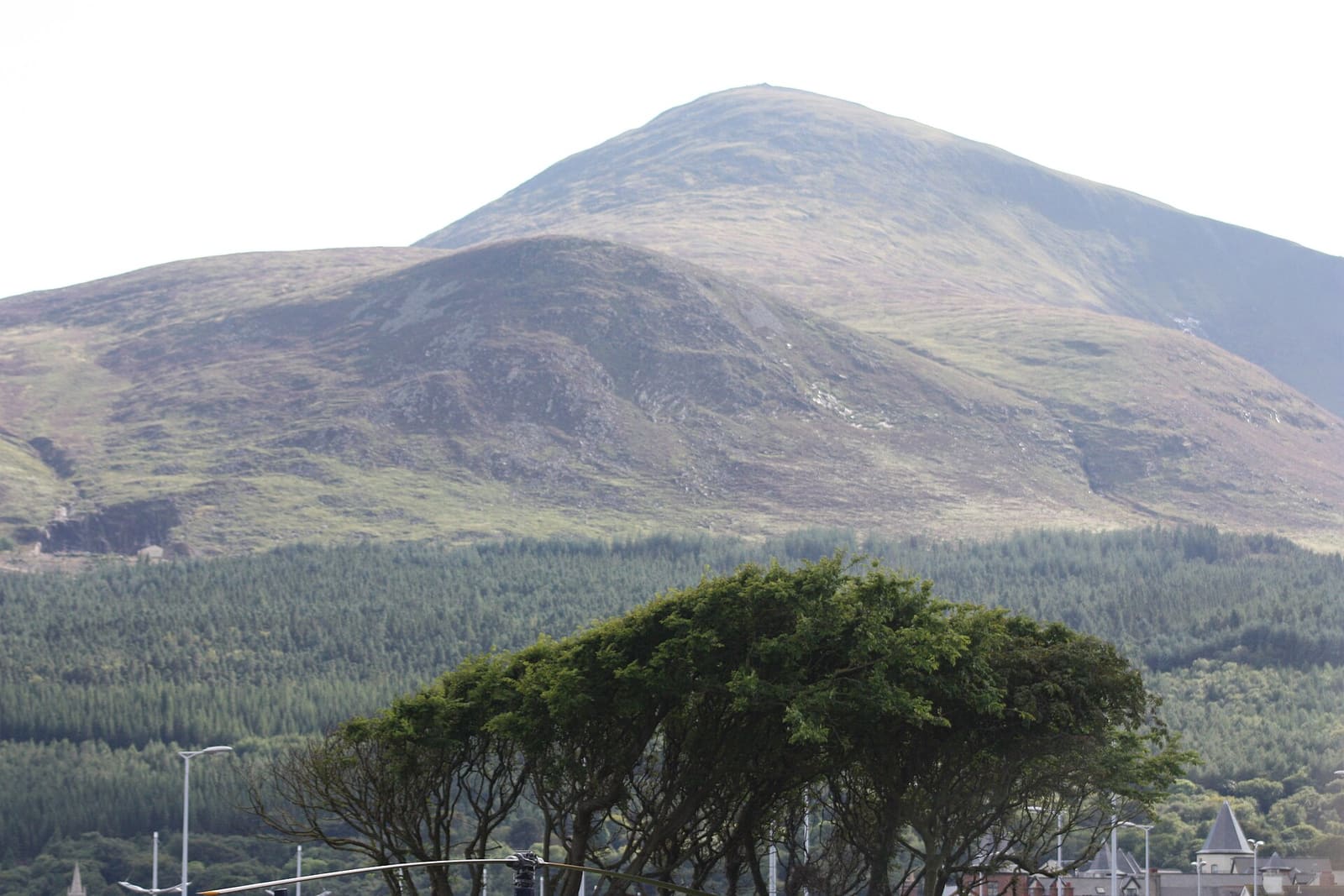
The Mournes & Newcastle
Granitberge, Waldparks und ein Küstenort am Fuß des Slieve Donard
Mini-Guide öffnen →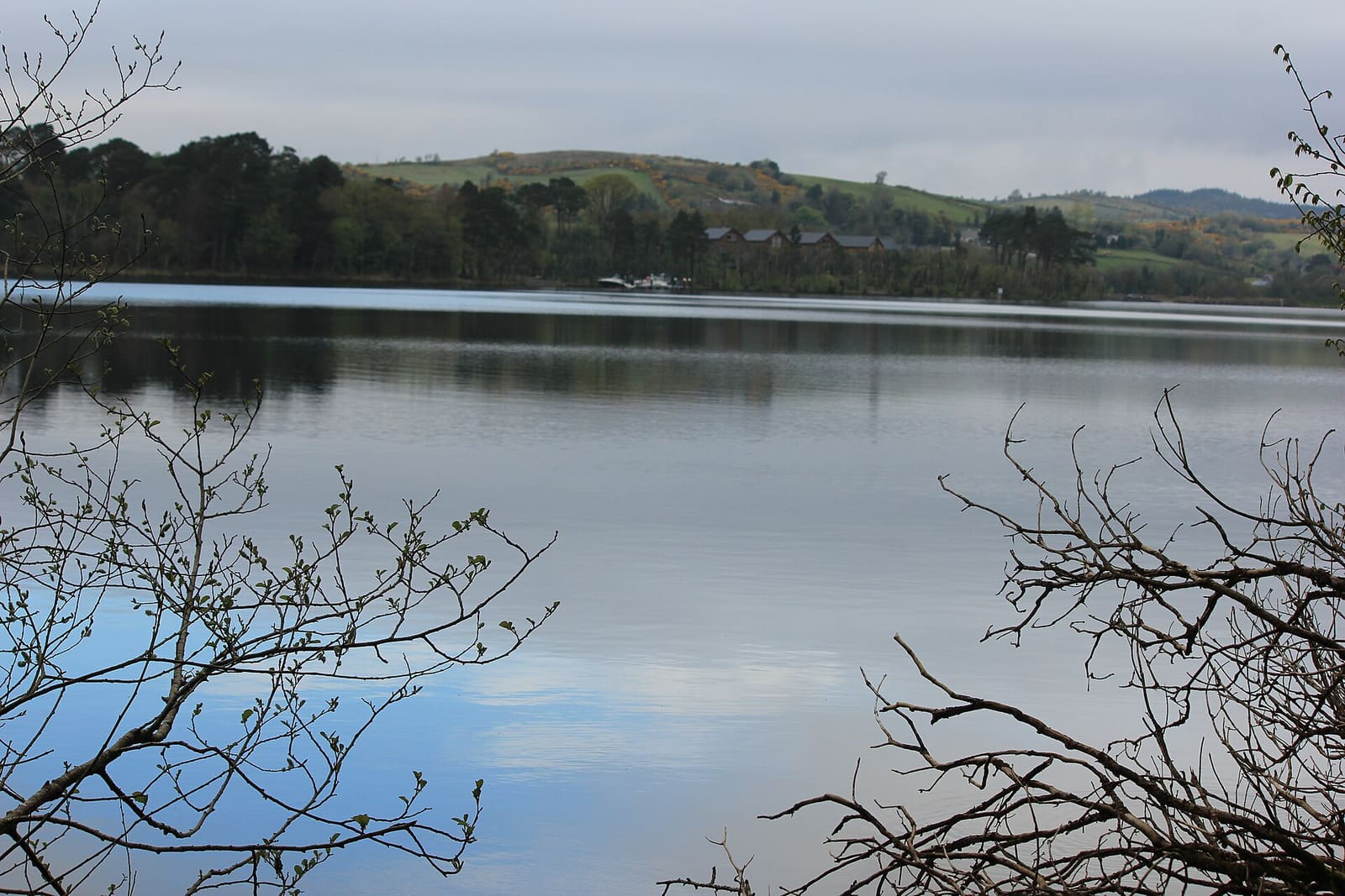
Fermanagh Lakelands
Inseln im Lough Erne, Häuser des National Trust und Kalksteinhöhlen rund um Enniskillen
Mini-Guide öffnen →Fotonachweise
- Carrick-a-Rede: Stuart Yeates, CC BY-SA 2.0, source
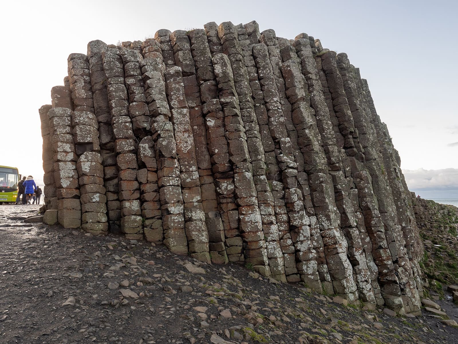
- The Causeway Coast (area photo): Ajay Suresh from New York, NY, USA, CC BY 2.0, source
- Ballintoy Harbour: Bob Jones, CC BY-SA 2.0, source
- Giant's Causeway: Quichot (uploader), Public domain, source
- Dunluce Castle: Aph-ch (uploader), Public domain, source
- Derry~Londonderry: Mario Falcetti, CC BY 4.0, source
- The Mournes & Newcastle: Ardfern, CC BY-SA 3.0, source
- Fermanagh Lakelands: Joli, CC BY-SA 4.0, source
- Belfast city centre & Cathedral Quarter: Bryn Holmes, CC BY-SA 2.0, source
- Titanic Quarter & East Belfast: Suicasmo, CC BY-SA 4.0, source
Photos from Wikimedia Commons, used under the licences shown. All photo credits
Weiter entdecken: Nordirland