 English (UK)
 English (US)
 Français
 Deutsch
 Español
 Italiano
 Nederlands
 简体中文
迷你指南:
Brindleyplace & the Canals: getting there
Stops, stations and how to reach Brindleyplace & the Canals
站点与车站
Getting to Brindleyplace & the Canals
请选择离目的地最近的站点。
| 站点或车站 | 服务 | 适合 |
|---|---|---|
| 图书馆 | West Midlands Metro | Tram stop on Centenary Square |
| Brindleyplace | West Midlands Metro | Tram stop on Broad Street |
| Five Ways | West Midlands Metro and National Rail | Tram stop and railway station at the western end of Broad Street |
| Birmingham New Street | National Rail | About 15 minutes' walk via Centenary Square |
Within walking range
Stations near Brindleyplace & the Canals
Stations and stops mapped in OpenStreetMap within 2.5 km of the centre of Brindleyplace & the Canals, nearest first. Distances are straight lines; walking times assume 5 km/h and are a minimum.
| Station or stop | 类型 | 距离 | 步行 |
|---|---|---|---|
| Brindley Place | Tram stop (Midland Metro Limited) | 200 m | about 2 min |
| Town Hall | Tram stop (Midland Metro Limited) | 500 m | about 6 min |
| Grand Central | Tram stop (Midland Metro Limited) | 700 m | about 9 min |
Station data: © OpenStreetMap contributors (ODbL), read 3 November 2026. Check step-free access with the operator before you travel.
Walking from nearby areas
- City Centre & Bullring: 700 m from Brindleyplace & the Canals, about 9 min on foot
- Jewellery Quarter: 1.2 km from Brindleyplace & the Canals, about 14 min on foot
- Digbeth & Eastside: 1.6 km from Brindleyplace & the Canals, about 20 min on foot
Reaching Birmingham
官方出行信息
Birmingham has an airport east of the city with its own railway station, three city-centre railway stations and a coach station in Digbeth. Always check the operator for current times, fares and disruption.
- Visit Birmingham → — the official visitor site
- Visit Birmingham: getting around → — walking, public transport and taxis
- Transport for West Midlands → — journey planner, timetables, Swift tickets
- West Midlands Metro → — tram stops, tickets and planned works
- National Rail: Birmingham New Street → — station facilities and step-free access
- National Rail: Birmingham Moor Street → — station facilities and step-free access
- National Rail: Birmingham Snow Hill → — station facilities and step-free access
- Chiltern Railways → — London Marylebone to Moor Street and Snow Hill
- Avanti West Coast → — London Euston to New Street
- Brum Breathes (Clean Air Zone) → — check whether your vehicle is charged and pay
班次时间、票价和运营中断情况可能变动:请通过上方运营方页面查看实时信息。
在此规划行程
Enter your starting point and Google Maps will show routes to Brindleyplace & the Canals. Public transport is selected; change it on the map. Check operator sites for live disruption.
While you are here
Things to see in Brindleyplace & the Canals
A few of the sights in the area. The Things to do page lists them all, with directions and official links.
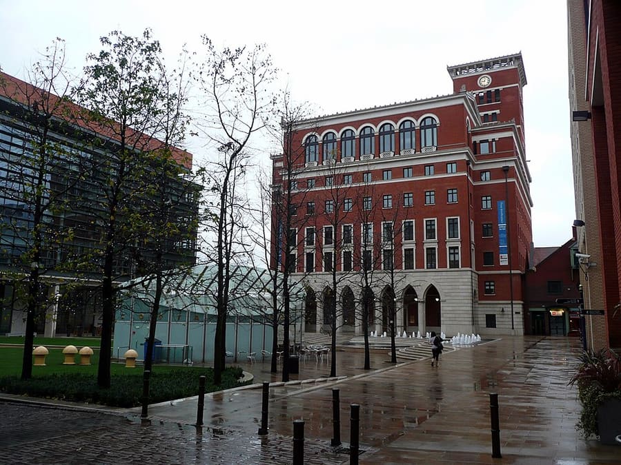
Brindleyplace
Canalside development begun in 1993, with squares of restaurants and bars, the Ikon Gallery and the Sea Life Centre.
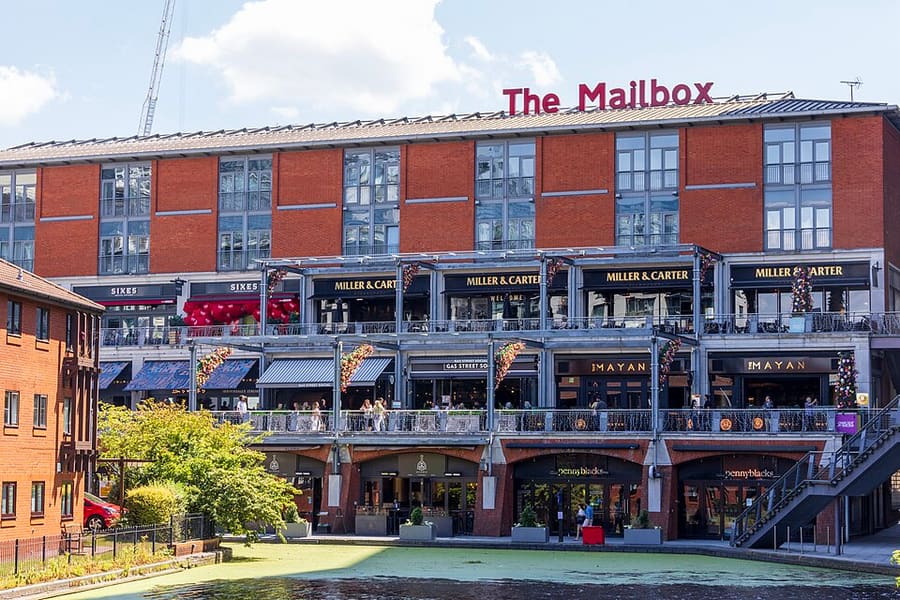
The Mailbox
Canalside development with shops, restaurants and the BBC Birmingham studios.
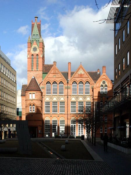
Ikon Gallery
Contemporary art gallery in the neo-Gothic former Oozells Street Board School of 1877.
Birmingham
More areas to explore
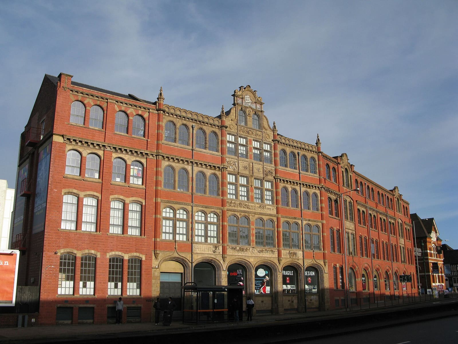
Digbeth & Eastside
Former factories turned studios, music venues and street food, beside the new Eastside park
打开迷你指南 →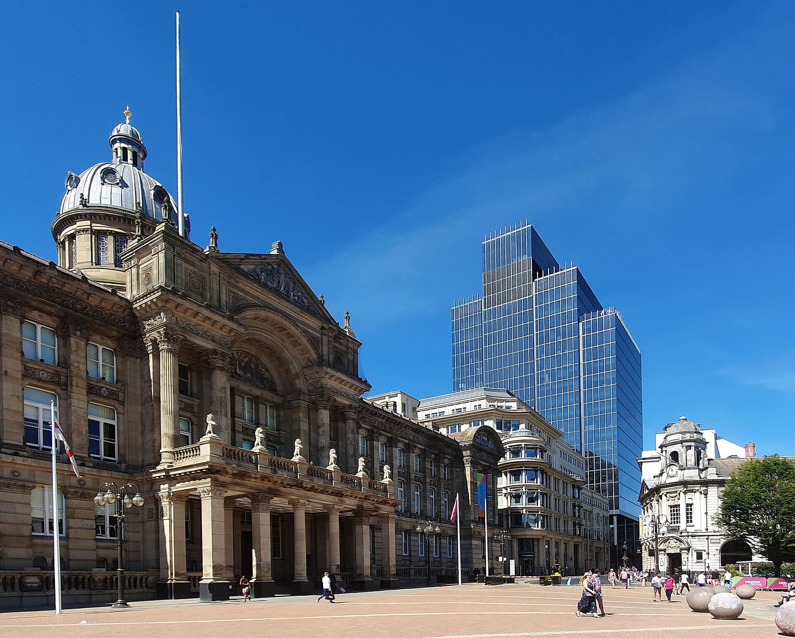
City Centre & Bullring
Victorian civic squares, two cathedrals and the Bullring around New Street station
打开迷你指南 →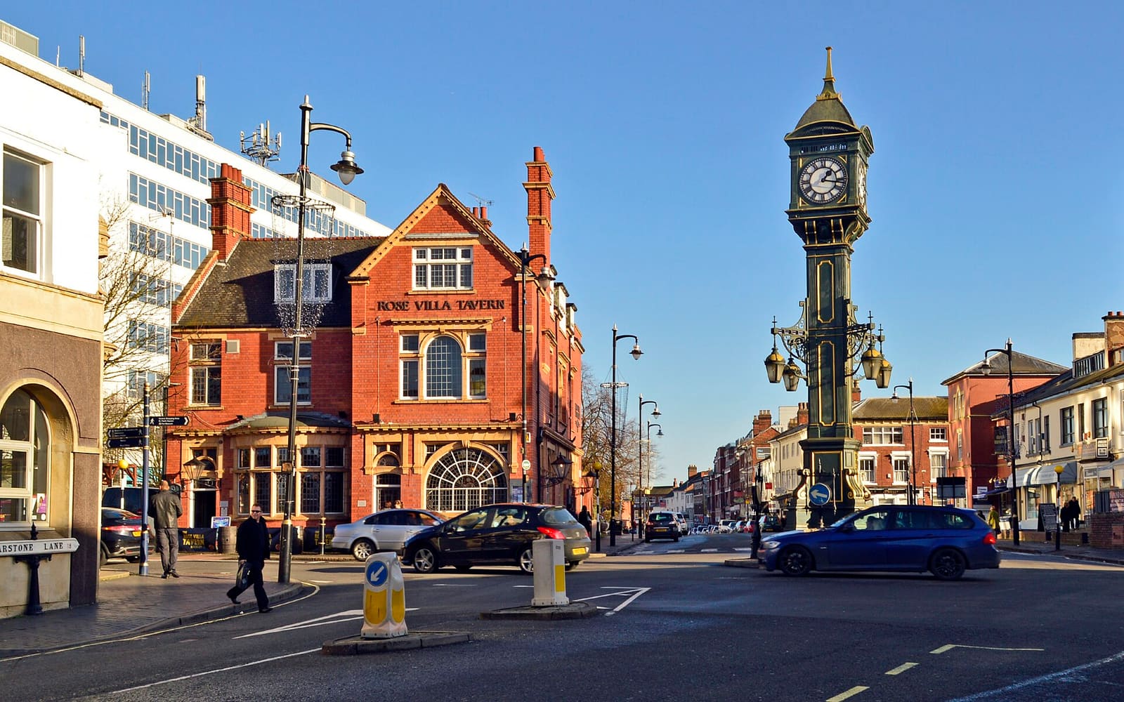
Jewellery Quarter
Workshops, small museums and a Georgian square in a working jewellery district
打开迷你指南 →图片来源
- Gas Street Basin: Oosoom at English Wikipedia, CC BY-SA 3.0, source
- Brindleyplace & the Canals (area photo): Oosoom at English Wikipedia, CC BY-SA 3.0, source
- Brindleyplace: Reading Tom from Reading, UK, CC BY 2.0, source
- The Mailbox: The wub, CC BY-SA 4.0, source
- Ikon Gallery: SilentVicinity, Public domain, source
- Digbeth & Eastside: Brianboru100, CC BY-SA 3.0, source
- City Centre & Bullring: Mutney, CC BY-SA 4.0, source
- Jewellery Quarter: Brian Clift, CC BY 2.0, source
Photos from Wikimedia Commons, used under the licences shown. All photo credits
Keep exploring Birmingham