 English (UK)
 English (US)
 Français
 Deutsch
 Español
 Italiano
 Nederlands
 简体中文
迷你指南:
Jewellery Quarter: getting there
Stops, stations and how to reach Jewellery Quarter
站点与车站
Getting to Jewellery Quarter
请选择离目的地最近的站点。
| 站点或车站 | 服务 | 适合 |
|---|---|---|
| Jewellery Quarter | National Rail and West Midlands Metro | Station on Vyse Street with trains and trams |
| St Paul's | West Midlands Metro | Tram stop for St Paul's Square |
| Birmingham Snow Hill | National Rail | A short walk south-east of St Paul's Square |
Within walking range
Stations near Jewellery Quarter
Stations and stops mapped in OpenStreetMap within 2.5 km of the centre of Jewellery Quarter, nearest first. Distances are straight lines; walking times assume 5 km/h and are a minimum.
| Station or stop | 类型 | 距离 | 步行 |
|---|---|---|---|
| St Chads | Tram stop (Midland Metro Limited) | 700 m | about 9 min |
| Colmore Row Bus Station | Bus or coach station | 1.0 km | about 12 min |
| 图书馆 | Tram stop (Midland Metro Limited) | 1.0 km | about 12 min |
Station data: © OpenStreetMap contributors (ODbL), read 3 November 2026. Check step-free access with the operator before you travel.
Walking from nearby areas
- Brindleyplace & the Canals: 1.2 km from Jewellery Quarter, about 14 min on foot
- City Centre & Bullring: 1.2 km from Jewellery Quarter, about 14 min on foot
- Digbeth & Eastside: 2.0 km from Jewellery Quarter, about 24 min on foot
Reaching Birmingham
官方出行信息
Birmingham has an airport east of the city with its own railway station, three city-centre railway stations and a coach station in Digbeth. Always check the operator for current times, fares and disruption.
- Visit Birmingham → — the official visitor site
- Visit Birmingham: getting around → — walking, public transport and taxis
- Transport for West Midlands → — journey planner, timetables, Swift tickets
- West Midlands Metro → — tram stops, tickets and planned works
- National Rail: Birmingham New Street → — station facilities and step-free access
- National Rail: Birmingham Moor Street → — station facilities and step-free access
- National Rail: Birmingham Snow Hill → — station facilities and step-free access
- Chiltern Railways → — London Marylebone to Moor Street and Snow Hill
- Avanti West Coast → — London Euston to New Street
- Brum Breathes (Clean Air Zone) → — check whether your vehicle is charged and pay
班次时间、票价和运营中断情况可能变动:请通过上方运营方页面查看实时信息。
在此规划行程
Enter your starting point and Google Maps will show routes to Jewellery Quarter. Public transport is selected; change it on the map. Check operator sites for live disruption.
While you are here
Things to see in Jewellery Quarter
A few of the sights in the area. The Things to do page lists them all, with directions and official links.
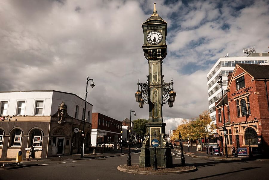
Birmingham
More areas to explore
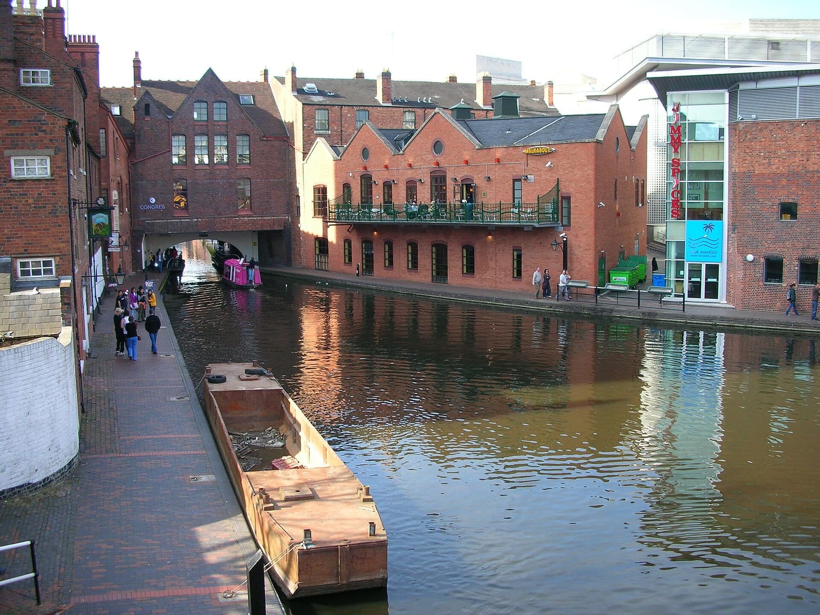
Brindleyplace & the Canals
Gas Street Basin, Centenary Square and the concert halls and canalside squares of Westside
打开迷你指南 →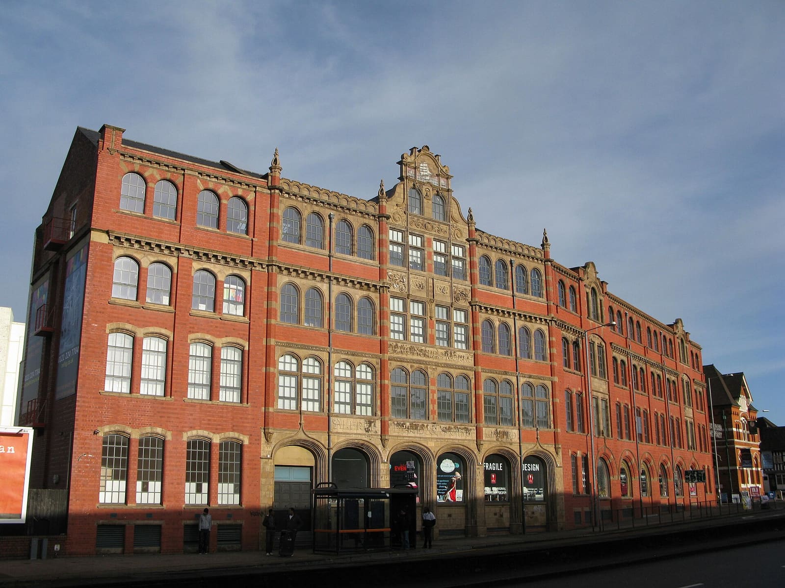
Digbeth & Eastside
Former factories turned studios, music venues and street food, beside the new Eastside park
打开迷你指南 →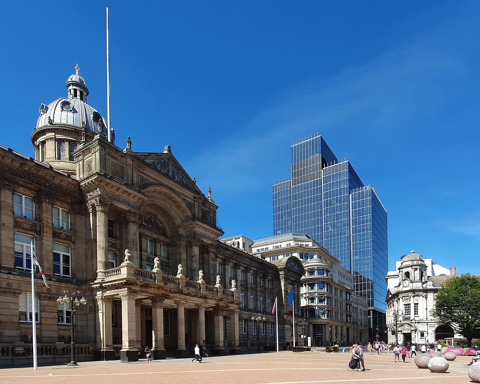
City Centre & Bullring
Victorian civic squares, two cathedrals and the Bullring around New Street station
打开迷你指南 →图片来源
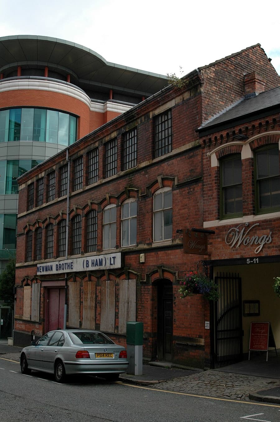
- Coffin Works: Erebus555, CC BY-SA 3.0, source
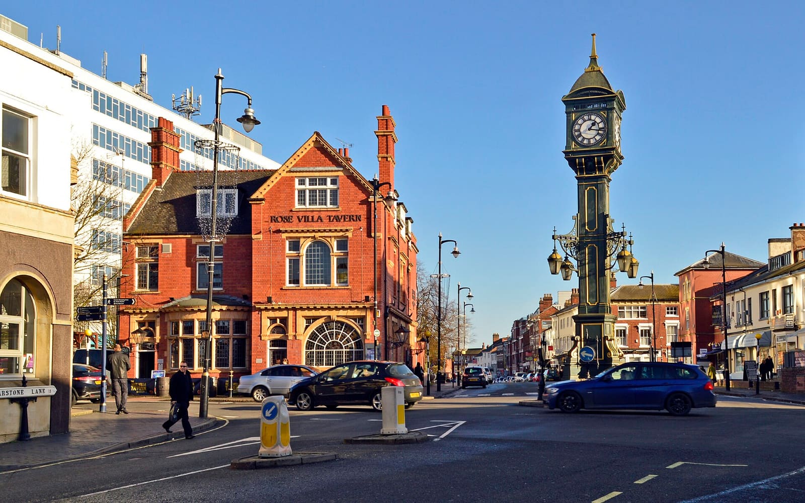
- Jewellery Quarter (area photo): Brian Clift, CC BY 2.0, source
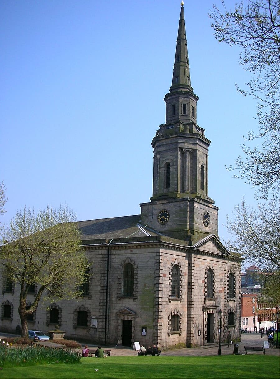
- St Paul's Church: Oosoom at English Wikipedia, CC BY-SA 3.0, source
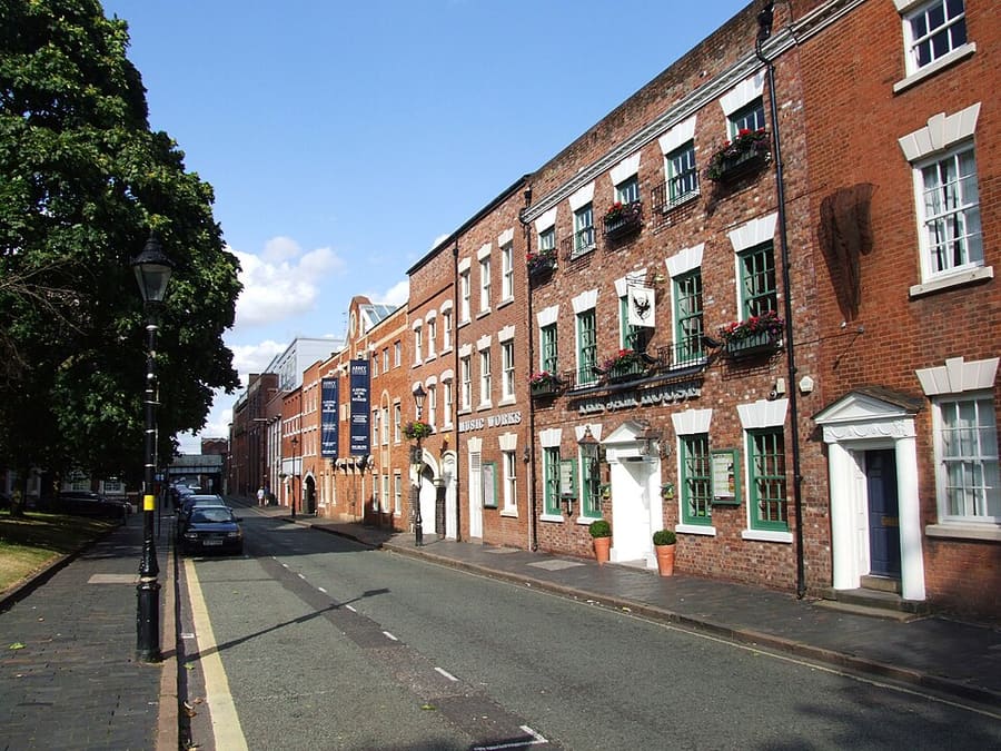
- St Paul's Square: Chris Whippet, CC BY-SA 2.0, source
- Chamberlain Clock: Mathew Growcoot, CC BY-SA 4.0, source
- Brindleyplace & the Canals: Oosoom at English Wikipedia, CC BY-SA 3.0, source
- Digbeth & Eastside: Brianboru100, CC BY-SA 3.0, source
- City Centre & Bullring: Mutney, CC BY-SA 4.0, source
Photos from Wikimedia Commons, used under the licences shown. All photo credits
Keep exploring Birmingham