 English (UK)
 English (US)
 Français
 Deutsch
 Español
 Italiano
 Nederlands
 简体中文
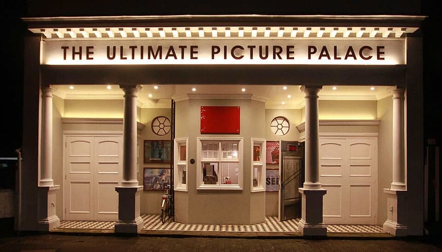
Una miniguía de
High Street, Magdalen and East Oxford: cómo llegar
Paradas, estaciones y cómo llegar a High Street, Magdalen and East Oxford
Paradas y estaciones
Cómo llegar a High Street, Magdalen and East Oxford
Elija la parada más cercana a su destino.
| Parada o estación | Servicios | Ideal para |
|---|---|---|
| Estación de Oxford | Great Western Railway y otros operadores | La estación está en Park End Street, al oeste del centro; hay autobuses locales a la High Street |
| Paradas de autobús de High Street | Autobuses locales y de Park & Ride | Los autobuses paran a lo largo de High Street; consulte las rutas con el operador |
| Thornhill Park & Ride | Autobuses Park & Ride desde el este | El aparcamiento de Thornhill está en el lado este de Oxford; consulte la página del Ayuntamiento |
Within walking range
Stations near High Street, Magdalen and East Oxford
Stations and stops mapped in OpenStreetMap within 2.5 km of the centre of High Street, Magdalen and East Oxford, nearest first. Distances are straight lines; walking times assume 5 km/h and are a minimum.
| Station or stop | Tipo | Distancia | A pie |
|---|---|---|---|
| Gloucester Green Bus Station | Bus or coach station | 1.1 km | about 13 min |
| Oxford | Rail station (Great Western Railway) | 1.5 km | about 18 min |
Station data: © OpenStreetMap contributors (ODbL), read 1 November 2026. Check step-free access with the operator before you travel.
Walking from nearby areas
- Radcliffe Square, Broad Street and St Giles: 600 m from High Street, Magdalen and East Oxford, about 7 min on foot
- Christ Church, St Aldate's and Folly Bridge: 600 m from High Street, Magdalen and East Oxford, about 8 min on foot
- Jericho, the Castle and Port Meadow: 1.7 km from High Street, Magdalen and East Oxford, about 20 min on foot
Cómo llegar a Oxford
Información oficial de viajes
Oxford tiene una estación de tren en Park End Street, servicios de autocar desde Gloucester Green y aparcamientos Park & Ride en la ronda de circunvalación. Heathrow y Gatwick tienen conexión en autocar. Consulte siempre con los operadores los horarios, tarifas e incidencias actuales.
- Experience Oxfordshire: cómo llegar en tren → — la organización oficial del destino
- National Rail: Oxford → — servicios de la estación y acceso sin escalones
- Great Western Railway → — trenes desde London Paddington
- Chiltern Railways → — trenes desde London Marylebone
- Oxford Tube → — autocares entre Oxford y Londres
- Oxford Bus Company → — autobuses urbanos y servicios al aeropuerto
- Oxford City Council: Park & Ride → — los cinco aparcamientos Park & Ride
- Oxford City Council: transporte público → — trenes, autocares y servicios al aeropuerto
- Oxfordshire County Council: Zero Emission Zone → — tarifas, descuentos y exenciones
- Oxfordshire County Council: filtros de tráfico → — ubicaciones y normas
Los horarios, tarifas e incidencias cambian: consulte las páginas de los operadores indicadas arriba para información en directo.
Planifique aquí su trayecto
Indique su punto de partida y Google Maps le mostrará rutas a High Street, Magdalen and East Oxford. Está seleccionado el transporte público; puede cambiarlo en el mapa. Consulte las webs de los operadores para ver incidencias en directo.
While you are here
Things to see in High Street, Magdalen and East Oxford
A few of the sights in the area. The Things to do page lists them all, with directions and official links.
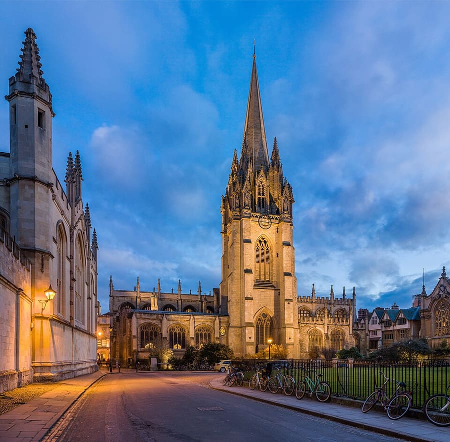
University Church of St Mary the Virgin
Iglesia de la universidad en High Street, con una torre medieval y vistas a Radcliffe Square.
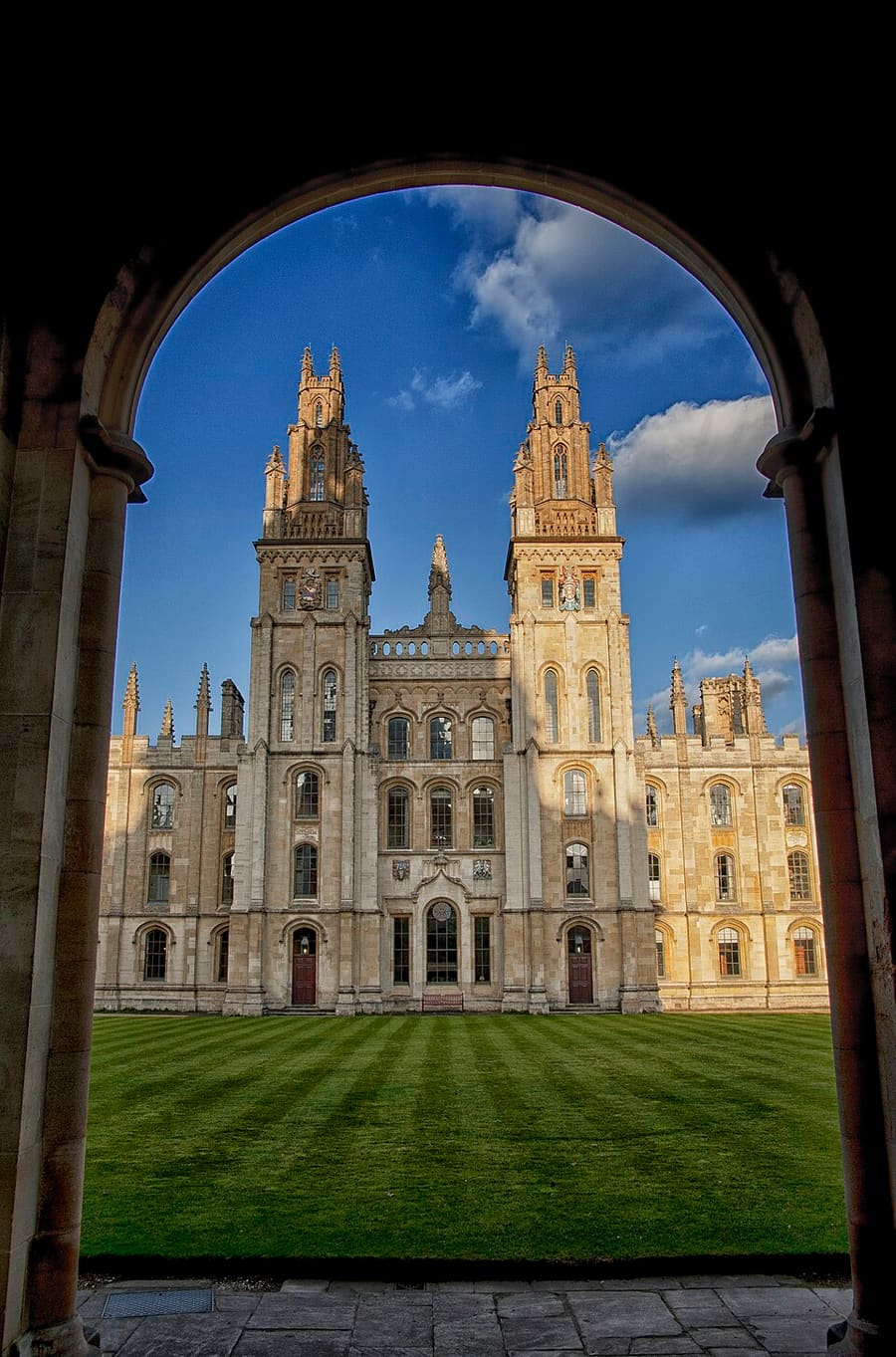
All Souls College
Colegio de posgrado fundado en 1438, en la esquina de High Street y Catte Street. El horario de visitas varía: consulte con el colegio.
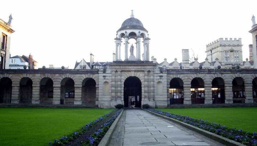
The Queen's College
College fundado en 1341, con una larga fachada barroca en High Street. El horario de visitas varía: consulte el college.
Oxford
More areas to explore
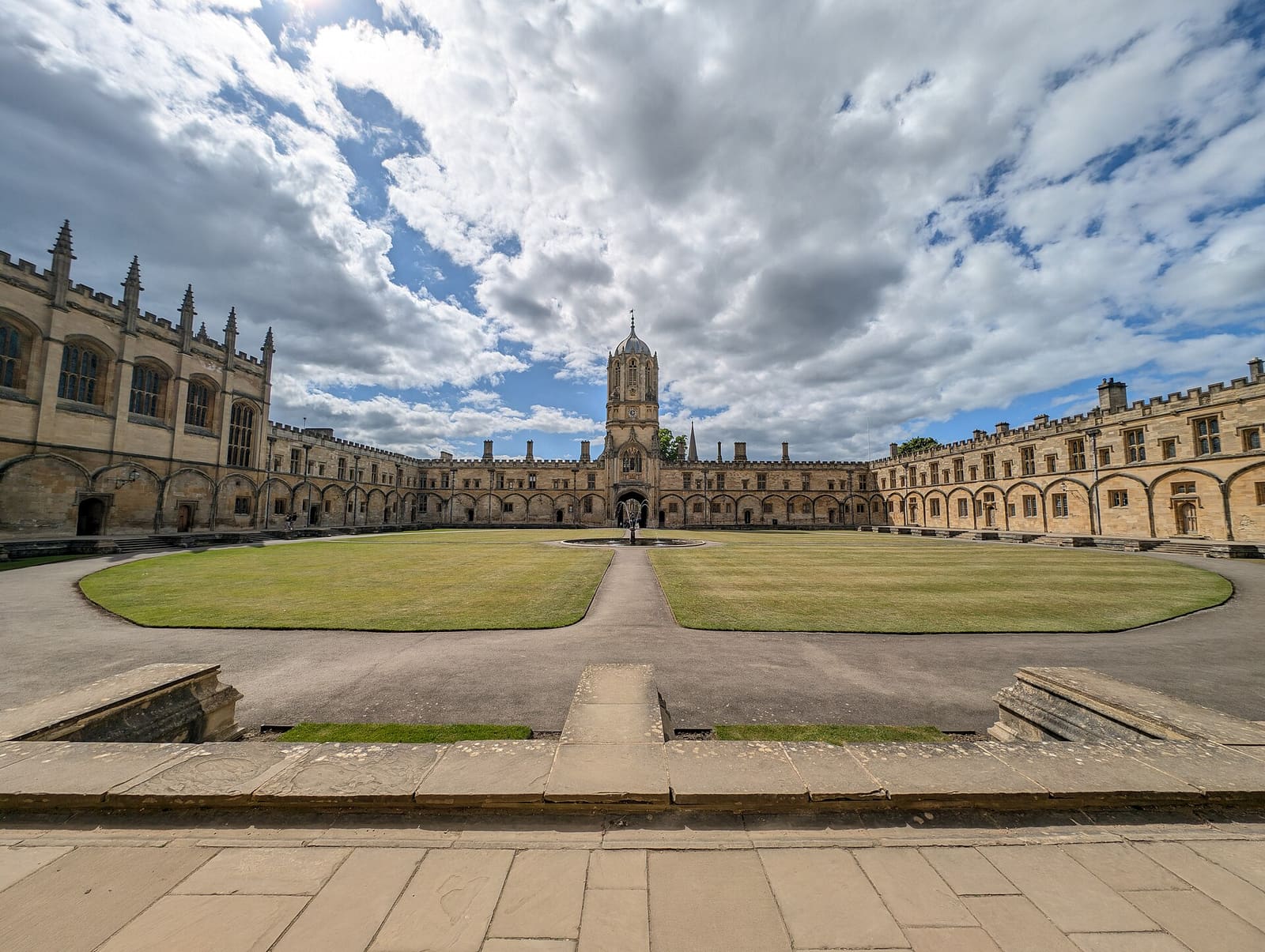
Christ Church, St Aldate's and Folly Bridge
Christ Church y su prado, los colleges tranquilos de Merton Street y el río en Folly Bridge
Abrir la miniguía →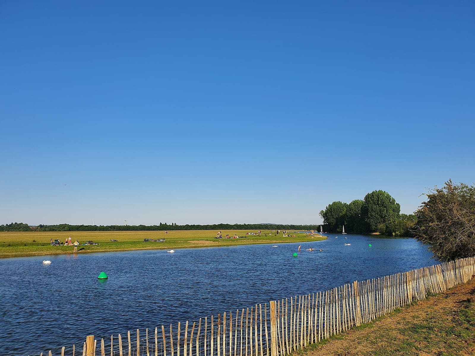
Jericho, the Castle and Port Meadow
Oxford Castle, las calles de Jericho y el prado comunal de Port Meadow
Abrir la miniguía →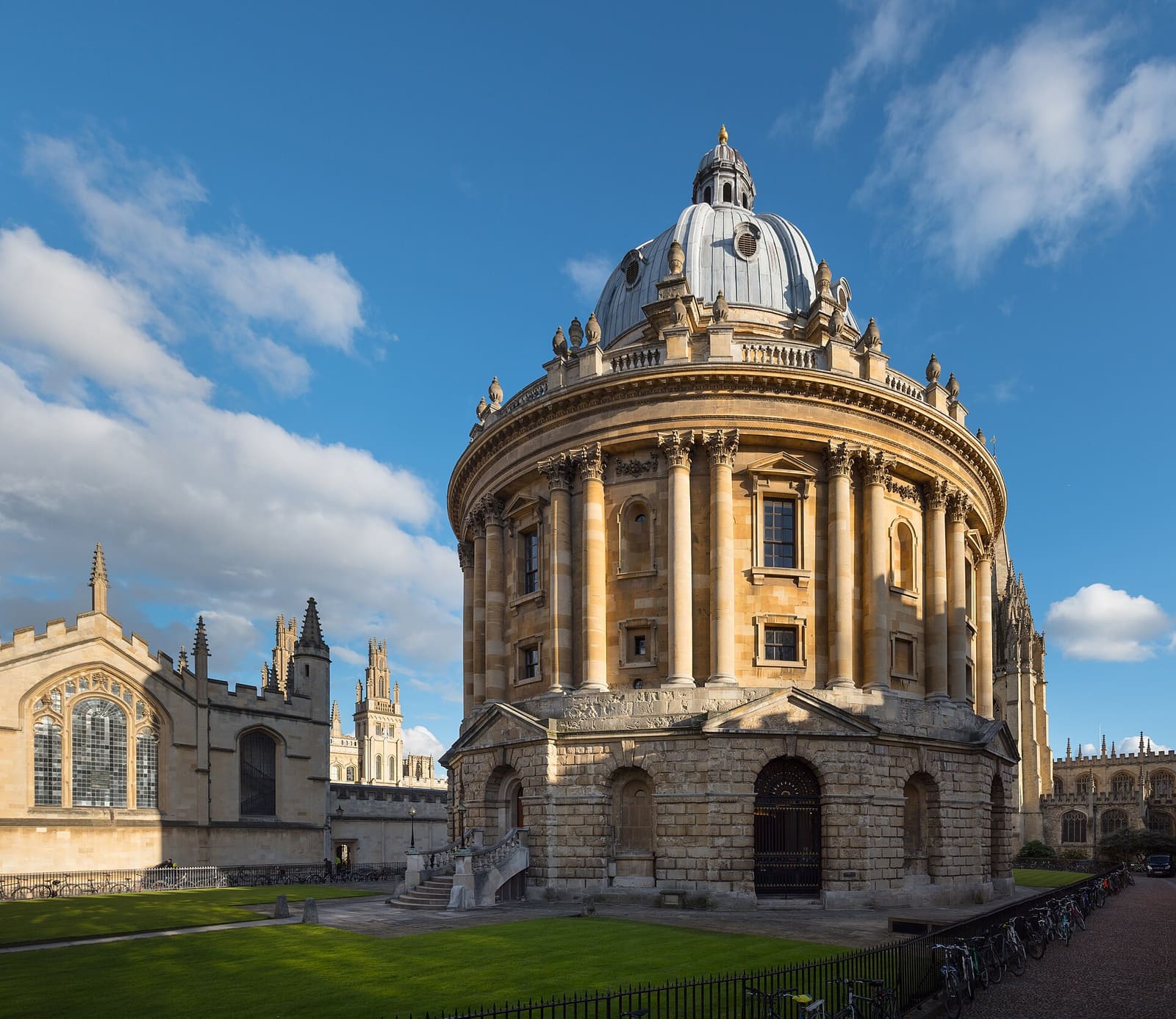
Radcliffe Square, Broad Street and St Giles
La Radcliffe Camera, la Bodleian y los museos y colleges del casco universitario antiguo
Abrir la miniguía →Créditos fotográficos
- Ultimate Picture Palace: Motacilla, CC BY-SA 4.0, source
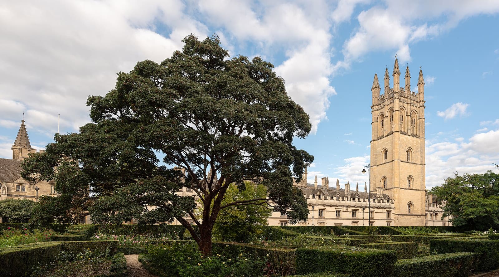
- High Street, Magdalen and East Oxford (area photo): Julian Herzog (Website), CC BY 4.0, source
- University Church of St Mary the Virgin: Diliff, CC BY-SA 3.0, source
- All Souls College: chensiyuan, CC BY-SA 4.0, source
- The Queen's College: M stone at English Wikipedia, CC BY-SA 3.0, source
- Christ Church, St Aldate's and Folly Bridge: Andy Li, CC0, source
- Jericho, the Castle and Port Meadow: AstacopsisGouldi, CC BY-SA 4.0, source
- Radcliffe Square, Broad Street and St Giles: Julian Herzog (Website), CC BY 4.0, source
Photos from Wikimedia Commons, used under the licences shown. All photo credits