 English (UK)
 English (US)
 Français
 Deutsch
 Español
 Italiano
 Nederlands
 简体中文
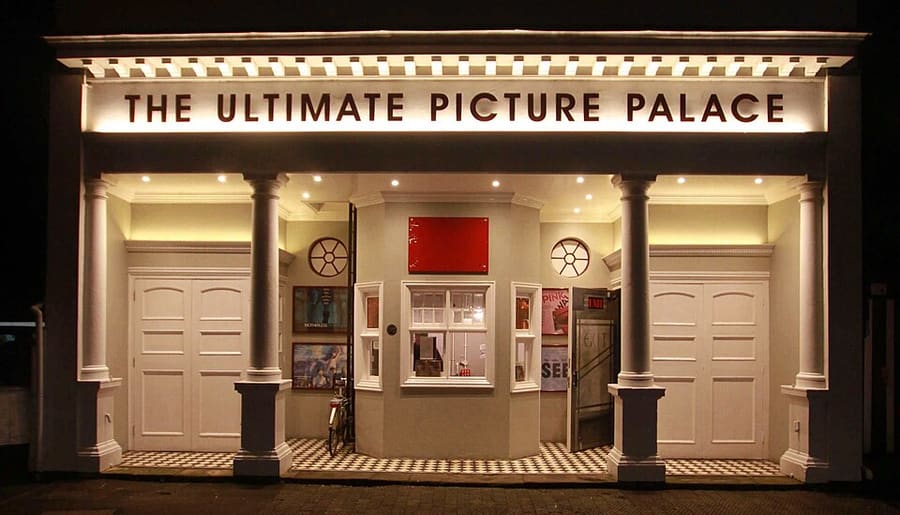
Een minigids voor
High Street, Magdalen and East Oxford: hoe komt u er
Haltes, stations en hoe u bij High Street, Magdalen and East Oxford komt
Haltes en stations
Hoe komt u bij High Street, Magdalen and East Oxford
Kies de halte die het dichtst bij uw bestemming ligt.
| Halte of station | Voorzieningen | Geschikt voor |
|---|---|---|
| Station Oxford | Great Western Railway en andere vervoerders | Het station ligt aan Park End Street, ten westen van het centrum; lokale bussen rijden naar de High Street |
| Bushaltes High Street | Stads- en Park & Ride-bussen | Bussen stoppen langs de High Street; vraag de vervoerder naar de routes |
| Thornhill Park & Ride | Park & Ride-bussen uit het oosten | De locatie Thornhill ligt aan de oostkant van Oxford; zie de pagina van de gemeente |
Within walking range
Stations near High Street, Magdalen and East Oxford
Stations and stops mapped in OpenStreetMap within 2.5 km of the centre of High Street, Magdalen and East Oxford, nearest first. Distances are straight lines; walking times assume 5 km/h and are a minimum.
| Station or stop | Type | Afstand | Te voet |
|---|---|---|---|
| Gloucester Green Bus Station | Bus or coach station | 1.1 km | about 13 min |
| Oxford | Rail station (Great Western Railway) | 1.5 km | about 18 min |
Station data: © OpenStreetMap contributors (ODbL), read 1 November 2026. Check step-free access with the operator before you travel.
Walking from nearby areas
- Radcliffe Square, Broad Street and St Giles: 600 m from High Street, Magdalen and East Oxford, about 7 min on foot
- Christ Church, St Aldate's and Folly Bridge: 600 m from High Street, Magdalen and East Oxford, about 8 min on foot
- Jericho, the Castle and Port Meadow: 1.7 km from High Street, Magdalen and East Oxford, about 20 min on foot
Oxford bereiken
Officiële reisinformatie
Oxford heeft een treinstation aan Park End Street, busdiensten vanaf Gloucester Green en Park & Ride-locaties langs de rondweg. Heathrow en Gatwick zijn per bus bereikbaar. Controleer altijd bij de vervoerders de actuele tijden, tarieven en verstoringen.
- Experience Oxfordshire: met de trein hierheen → — de officiële toeristische organisatie
- National Rail: Oxford → — stationsvoorzieningen en drempelvrije toegang
- Great Western Railway → — treinen vanuit London Paddington
- Chiltern Railways → — treinen vanuit London Marylebone
- Oxford Tube → — bussen tussen Oxford en Londen
- Oxford Bus Company → — stadsbussen en luchthavenvervoer
- Oxford City Council: Park & Ride → — de vijf Park & Ride-locaties
- Oxford City Council: openbaar vervoer → — treinen, bussen en luchthavenvervoer
- Oxfordshire County Council: zero-emissiezone → — tarieven, kortingen en vrijstellingen
- Oxfordshire County Council: verkeersfilters → — locaties en regels
Tijden, tarieven en storingen veranderen: raadpleeg de bovenstaande pagina's van de vervoerders voor actuele informatie.
Plan hier uw reis
Voer uw vertrekpunt in en Google Maps toont routes naar High Street, Magdalen and East Oxford. Openbaar vervoer is geselecteerd; wijzig dit op de kaart. Controleer de websites van de vervoerders voor actuele verstoringen.
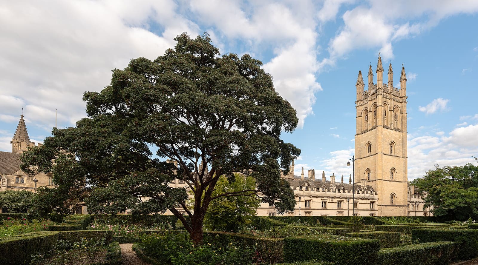
While you are here
Things to see in High Street, Magdalen and East Oxford
A few of the sights in the area. The Things to do page lists them all, with directions and official links.
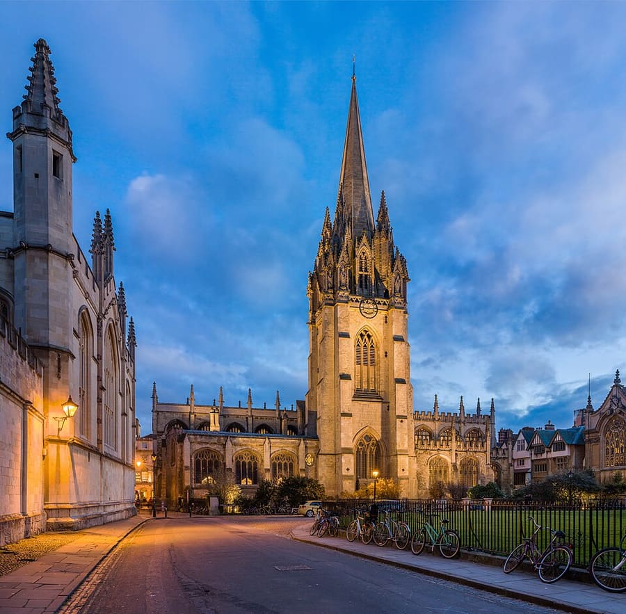
University Church of St Mary the Virgin
De universiteitskerk aan de High Street, met een middeleeuwse toren en uitzicht over Radcliffe Square.
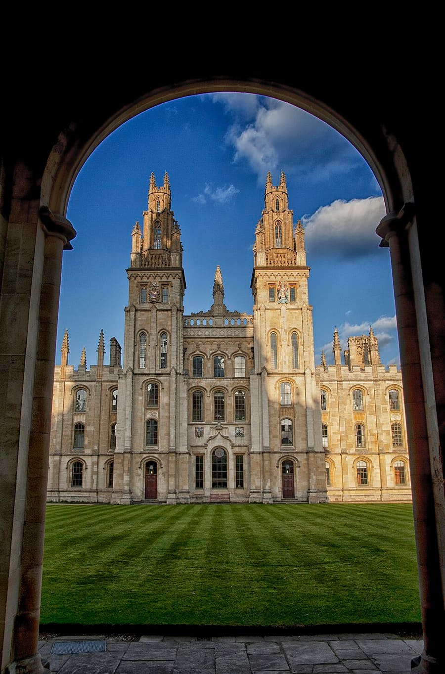
All Souls College
Graduate college opgericht in 1438, op de hoek van High Street en Catte Street. De bezoektijden wisselen: raadpleeg het college.
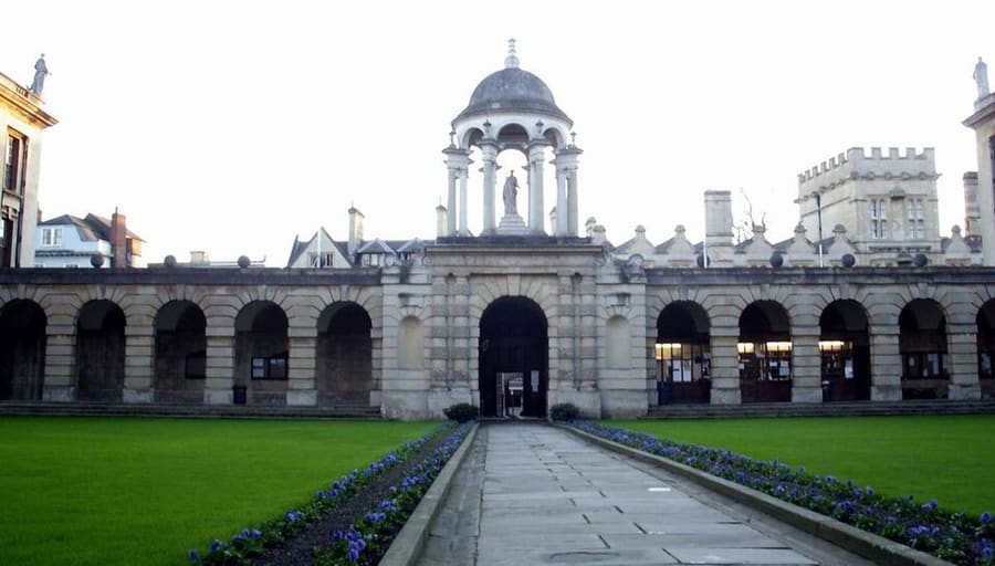
The Queen's College
College gesticht in 1341, met een lange barokke gevel aan de High Street. De bezoektijden variëren: informeer bij het college.
Oxford
More areas to explore
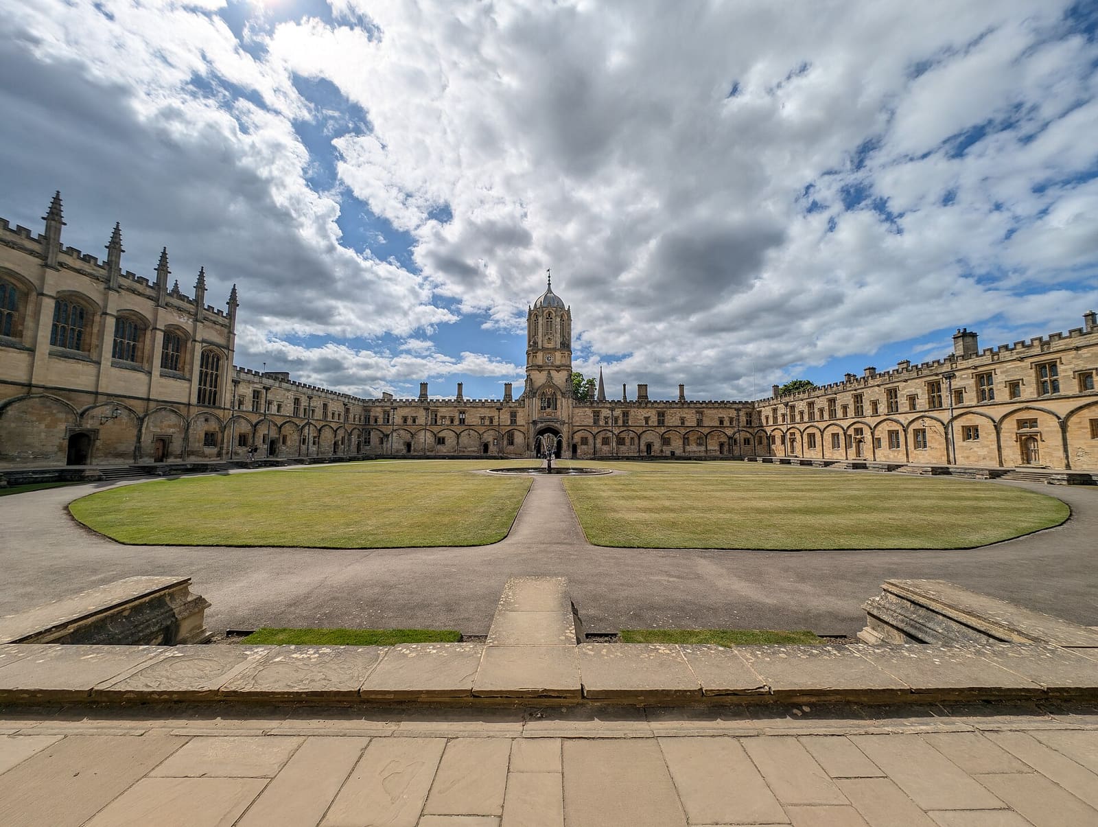
Christ Church, St Aldate's and Folly Bridge
Christ Church en de bijbehorende meadow, de rustige colleges aan Merton Street en de rivier bij Folly Bridge
Open de minigids →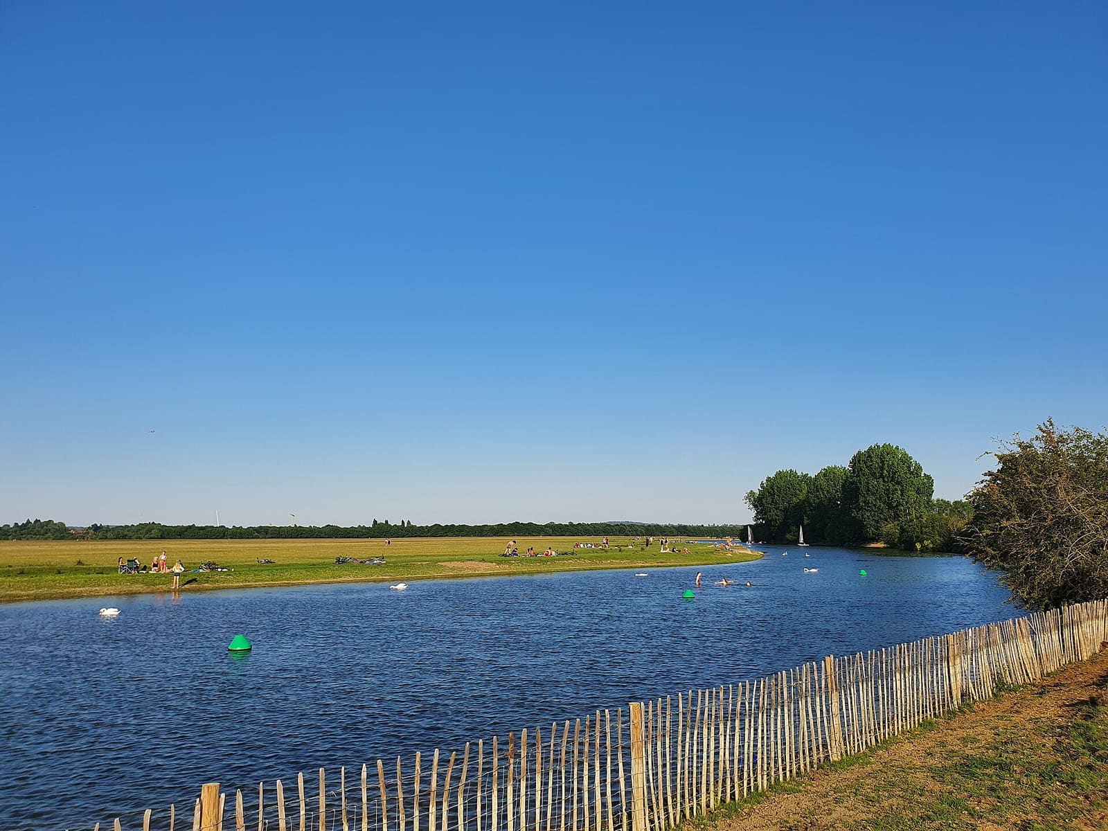
Jericho, the Castle and Port Meadow
Oxford Castle, de straten van Jericho en het open weidegebied Port Meadow
Open de minigids →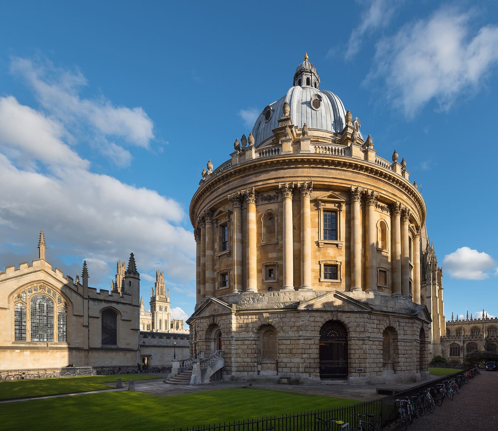
Radcliffe Square, Broad Street and St Giles
De Radcliffe Camera, de Bodleian en de musea en colleges van het oude universiteitscentrum
Open de minigids →Fotoverantwoording
- Ultimate Picture Palace: Motacilla, CC BY-SA 4.0, source
- High Street, Magdalen and East Oxford (area photo): Julian Herzog (Website), CC BY 4.0, source
- University Church of St Mary the Virgin: Diliff, CC BY-SA 3.0, source
- All Souls College: chensiyuan, CC BY-SA 4.0, source
- The Queen's College: M stone at English Wikipedia, CC BY-SA 3.0, source
- Christ Church, St Aldate's and Folly Bridge: Andy Li, CC0, source
- Jericho, the Castle and Port Meadow: AstacopsisGouldi, CC BY-SA 4.0, source
- Radcliffe Square, Broad Street and St Giles: Julian Herzog (Website), CC BY 4.0, source
Photos from Wikimedia Commons, used under the licences shown. All photo credits