 English (UK)
 English (US)
 Français
 Deutsch
 Español
 Italiano
 Nederlands
 简体中文
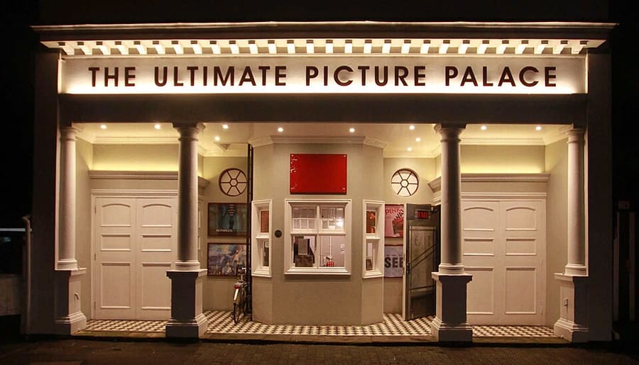
Ein Mini-Guide zu
High Street, Magdalen and East Oxford: Anreise
Haltestellen, Stationen und Anreise: High Street, Magdalen and East Oxford
Haltestellen und Stationen
Anreise nach High Street, Magdalen and East Oxford
Wählen Sie die Haltestelle, die Ihrem Ziel am nächsten liegt.
| Haltestelle oder Station | Services | Gut für |
|---|---|---|
| Bahnhof Oxford | Great Western Railway und andere Betreiber | Der Bahnhof liegt in der Park End Street, westlich des Zentrums; Stadtbusse fahren zur High Street |
| Bushaltestellen an der High Street | Linien- und Park-&-Ride-Busse | Busse halten entlang der High Street; Linien beim Anbieter erfragen |
| Thornhill Park & Ride | Park-&-Ride-Busse aus Osten | Die Anlage Thornhill liegt im Osten von Oxford; siehe die Seite des City Council |
Within walking range
Stations near High Street, Magdalen and East Oxford
Stations and stops mapped in OpenStreetMap within 2.5 km of the centre of High Street, Magdalen and East Oxford, nearest first. Distances are straight lines; walking times assume 5 km/h and are a minimum.
| Station or stop | Art | Entfernung | Zu Fuß |
|---|---|---|---|
| Gloucester Green Bus Station | Bus or coach station | 1.1 km | about 13 min |
| Oxford | Rail station (Great Western Railway) | 1.5 km | about 18 min |
Station data: © OpenStreetMap contributors (ODbL), read 1 November 2026. Check step-free access with the operator before you travel.
Walking from nearby areas
- Radcliffe Square, Broad Street and St Giles: 600 m from High Street, Magdalen and East Oxford, about 7 min on foot
- Christ Church, St Aldate's and Folly Bridge: 600 m from High Street, Magdalen and East Oxford, about 8 min on foot
- Jericho, the Castle and Port Meadow: 1.7 km from High Street, Magdalen and East Oxford, about 20 min on foot
Anreise nach Oxford
Offizielle Reiseinformationen
Oxford hat einen Bahnhof an der Park End Street, Fernbusse ab Gloucester Green und Park-&-Ride-Anlagen rund um die Ringstraße. Heathrow und Gatwick sind per Fernbus angebunden. Prüfen Sie stets bei den Betreibern die aktuellen Zeiten, Preise und Störungen.
- Experience Oxfordshire: Anreise mit der Bahn → — die offizielle Tourismusorganisation der Region
- National Rail: Oxford → — Ausstattung des Bahnhofs und stufenloser Zugang
- Great Western Railway → — Züge ab London Paddington
- Chiltern Railways → — Züge ab London Marylebone
- Oxford Tube → — Fernbusse zwischen Oxford und London
- Oxford Bus Company → — Stadtbusse und Flughafenverbindungen
- Oxford City Council: Park & Ride → — die fünf Park-&-Ride-Anlagen
- Oxford City Council: öffentlicher Nahverkehr → — Züge, Fernbusse und Flughafenverbindungen
- Oxfordshire County Council: Zero Emission Zone → — Gebühren, Rabatte und Ausnahmen
- Oxfordshire County Council: Verkehrsfilter → — Standorte und Regeln
Zeiten, Preise und Störungen ändern sich: Aktuelle Informationen finden Sie auf den Seiten der Betreiber oben.
Fahrt hierher planen
Geben Sie Ihren Startpunkt ein, und Google Maps zeigt Ihnen Routen nach High Street, Magdalen and East Oxford. Öffentliche Verkehrsmittel sind voreingestellt; Sie können das auf der Karte ändern. Aktuelle Störungen finden Sie auf den Websites der Betreiber.
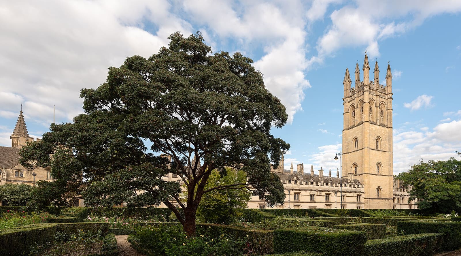
While you are here
Things to see in High Street, Magdalen and East Oxford
A few of the sights in the area. The Things to do page lists them all, with directions and official links.
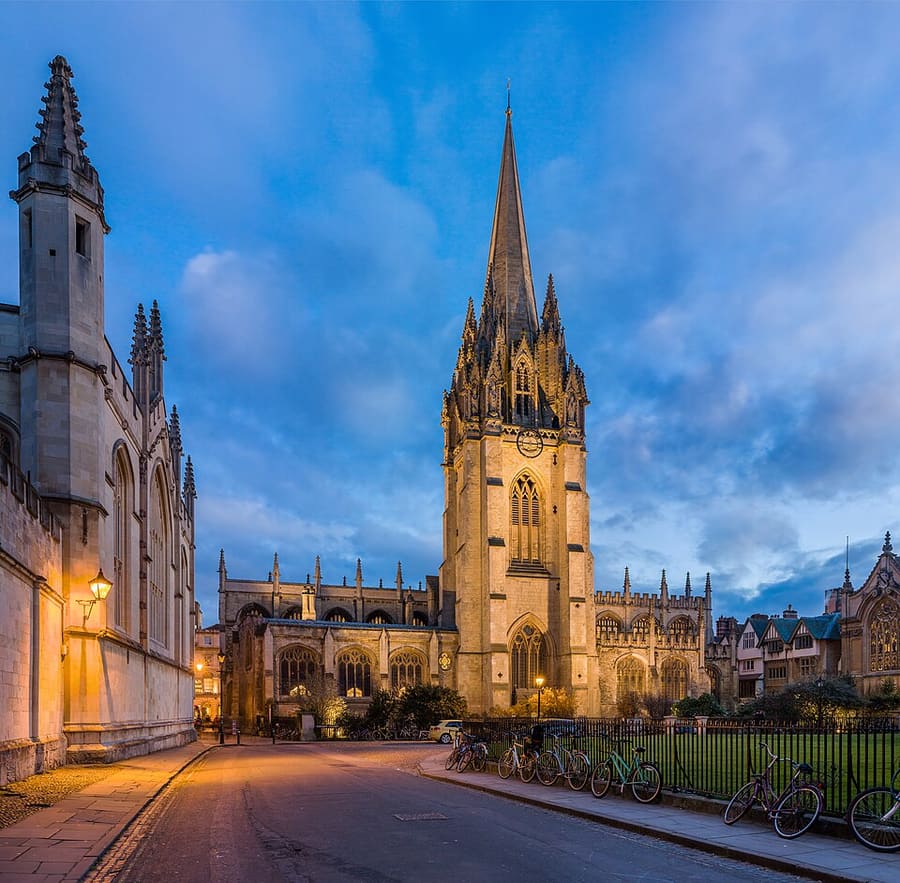
University Church of St Mary the Virgin
Die Universitätskirche an der High Street, mit mittelalterlichem Turm und Blick über den Radcliffe Square.
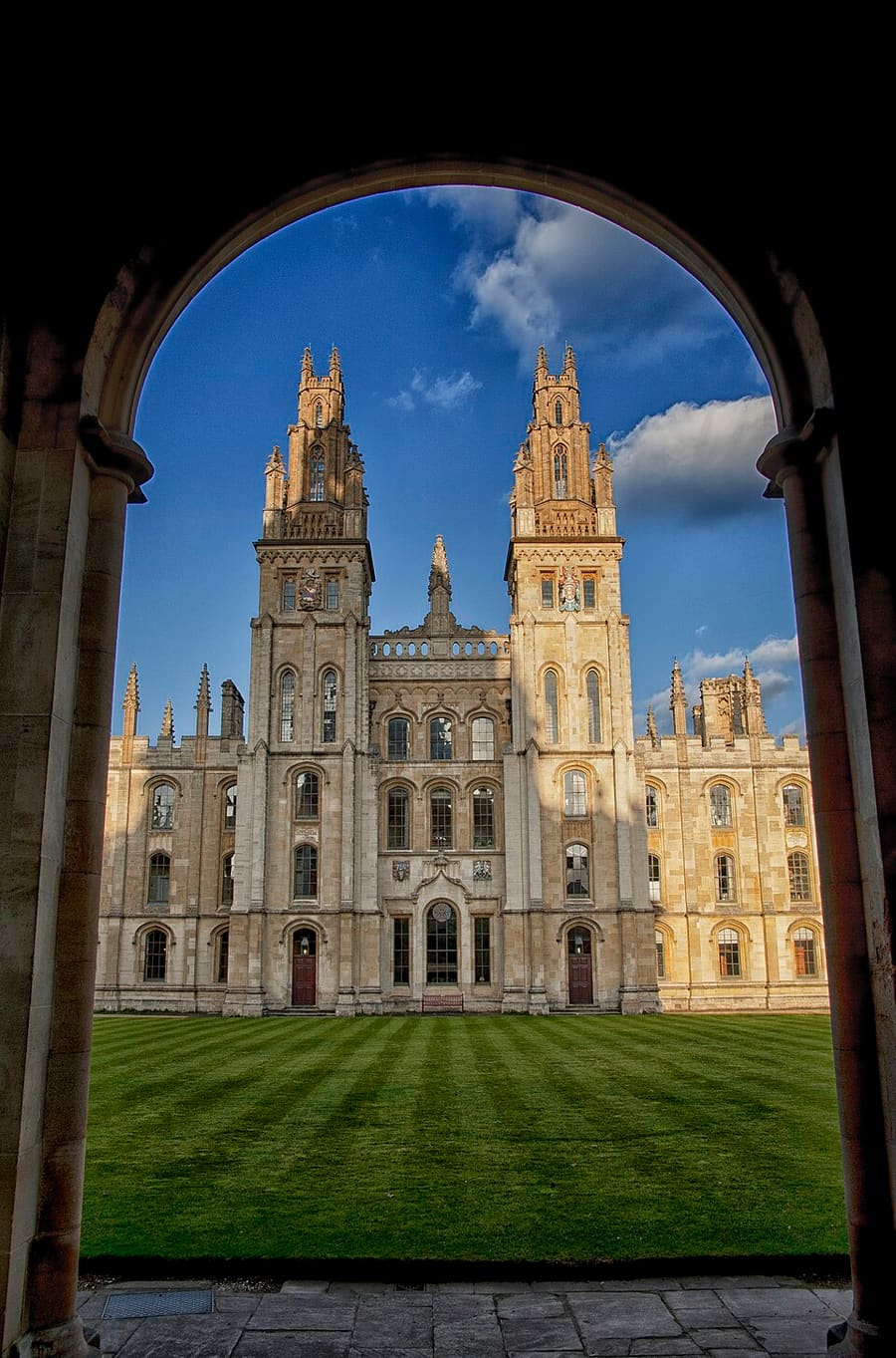
All Souls College
Graduierten-College, gegründet 1438, an der Ecke von High Street und Catte Street. Die Besuchszeiten variieren: Bitte beim College nachfragen.
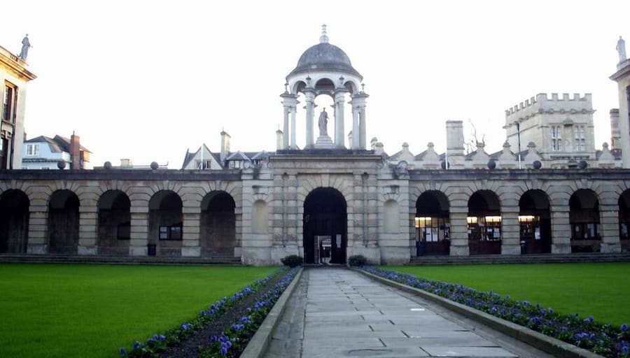
The Queen's College
1341 gegründetes College mit langer Barockfassade an der High Street. Die Besuchszeiten variieren: Fragen Sie beim College nach.
Oxford
More areas to explore
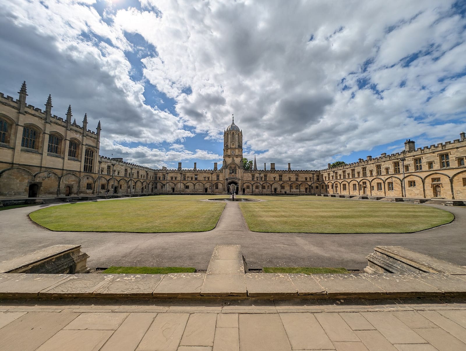
Christ Church, St Aldate's and Folly Bridge
Christ Church und seine Wiese, die ruhigen Colleges an der Merton Street und der Fluss an der Folly Bridge
Mini-Guide öffnen →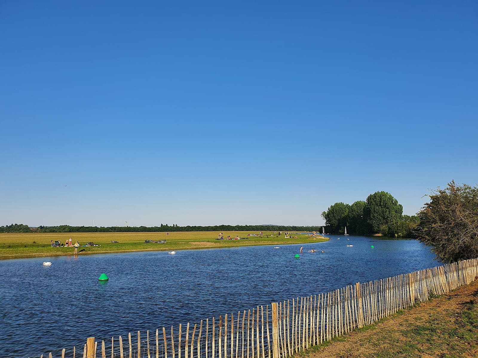
Jericho, the Castle and Port Meadow
Oxford Castle, die Straßen von Jericho und die offene Gemeindewiese Port Meadow
Mini-Guide öffnen →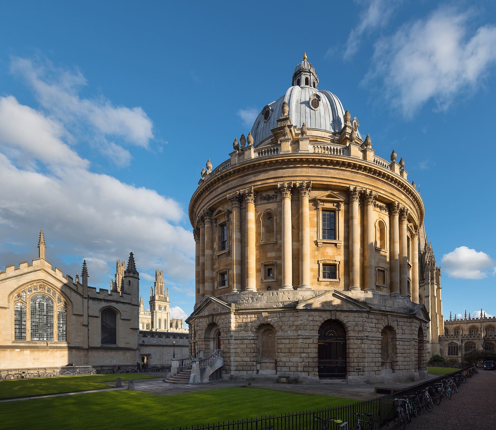
Radcliffe Square, Broad Street and St Giles
Die Radcliffe Camera, die Bodleian sowie die Museen und Colleges des alten Universitätszentrums
Mini-Guide öffnen →Fotonachweise
- Ultimate Picture Palace: Motacilla, CC BY-SA 4.0, source
- High Street, Magdalen and East Oxford (area photo): Julian Herzog (Website), CC BY 4.0, source
- University Church of St Mary the Virgin: Diliff, CC BY-SA 3.0, source
- All Souls College: chensiyuan, CC BY-SA 4.0, source
- The Queen's College: M stone at English Wikipedia, CC BY-SA 3.0, source
- Christ Church, St Aldate's and Folly Bridge: Andy Li, CC0, source
- Jericho, the Castle and Port Meadow: AstacopsisGouldi, CC BY-SA 4.0, source
- Radcliffe Square, Broad Street and St Giles: Julian Herzog (Website), CC BY 4.0, source
Photos from Wikimedia Commons, used under the licences shown. All photo credits