 English (UK)
 English (US)
 Français
 Deutsch
 Español
 Italiano
 Nederlands
 简体中文
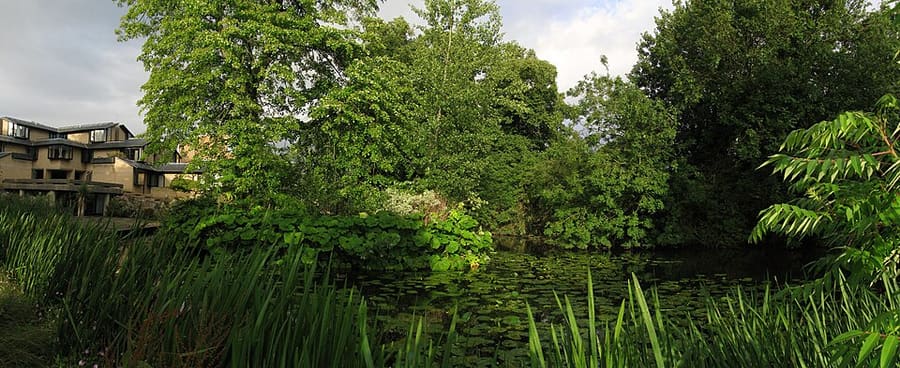
Una miniguía de
Jericho, the Castle and Port Meadow: cómo llegar
Paradas, estaciones y cómo llegar a Jericho, the Castle and Port Meadow
Paradas y estaciones
Cómo llegar a Jericho, the Castle and Port Meadow
Elija la parada más cercana a su destino.
| Parada o estación | Servicios | Ideal para |
|---|---|---|
| Estación de Oxford | Great Western Railway y otros operadores | Estación en Park End Street, en el extremo sur de esta zona |
| Seacourt Park & Ride | Autobuses Park & Ride desde el oeste | El aparcamiento de Seacourt está al oeste de Oxford, junto a Botley Road; consulte la página del Ayuntamiento |
| Park & Ride de Pear Tree y Oxford Parkway | Autobuses Park & Ride desde el norte | Dos puntos al norte de Oxford; Oxford Parkway también tiene trenes a London Marylebone |
Within walking range
Stations near Jericho, the Castle and Port Meadow
Stations and stops mapped in OpenStreetMap within 2.5 km of the centre of Jericho, the Castle and Port Meadow, nearest first. Distances are straight lines; walking times assume 5 km/h and are a minimum.
| Station or stop | Tipo | Distancia | A pie |
|---|---|---|---|
| Oxford | Rail station (Great Western Railway) | 600 m | about 7 min |
| Gloucester Green Bus Station | Bus or coach station | 700 m | about 8 min |
Station data: © OpenStreetMap contributors (ODbL), read 1 November 2026. Check step-free access with the operator before you travel.
Walking from nearby areas
- Radcliffe Square, Broad Street and St Giles: 1.1 km from Jericho, the Castle and Port Meadow, about 13 min on foot
- Christ Church, St Aldate's and Folly Bridge: 1.4 km from Jericho, the Castle and Port Meadow, about 16 min on foot
- High Street, Magdalen and East Oxford: 1.7 km from Jericho, the Castle and Port Meadow, about 20 min on foot
Cómo llegar a Oxford
Información oficial de viajes
Oxford tiene una estación de tren en Park End Street, servicios de autocar desde Gloucester Green y aparcamientos Park & Ride en la ronda de circunvalación. Heathrow y Gatwick tienen conexión en autocar. Consulte siempre con los operadores los horarios, tarifas e incidencias actuales.
- Experience Oxfordshire: cómo llegar en tren → — la organización oficial del destino
- National Rail: Oxford → — servicios de la estación y acceso sin escalones
- Great Western Railway → — trenes desde London Paddington
- Chiltern Railways → — trenes desde London Marylebone
- Oxford Tube → — autocares entre Oxford y Londres
- Oxford Bus Company → — autobuses urbanos y servicios al aeropuerto
- Oxford City Council: Park & Ride → — los cinco aparcamientos Park & Ride
- Oxford City Council: transporte público → — trenes, autocares y servicios al aeropuerto
- Oxfordshire County Council: Zero Emission Zone → — tarifas, descuentos y exenciones
- Oxfordshire County Council: filtros de tráfico → — ubicaciones y normas
Los horarios, tarifas e incidencias cambian: consulte las páginas de los operadores indicadas arriba para información en directo.
Planifique aquí su trayecto
Indique su punto de partida y Google Maps le mostrará rutas a Jericho, the Castle and Port Meadow. Está seleccionado el transporte público; puede cambiarlo en el mapa. Consulte las webs de los operadores para ver incidencias en directo.
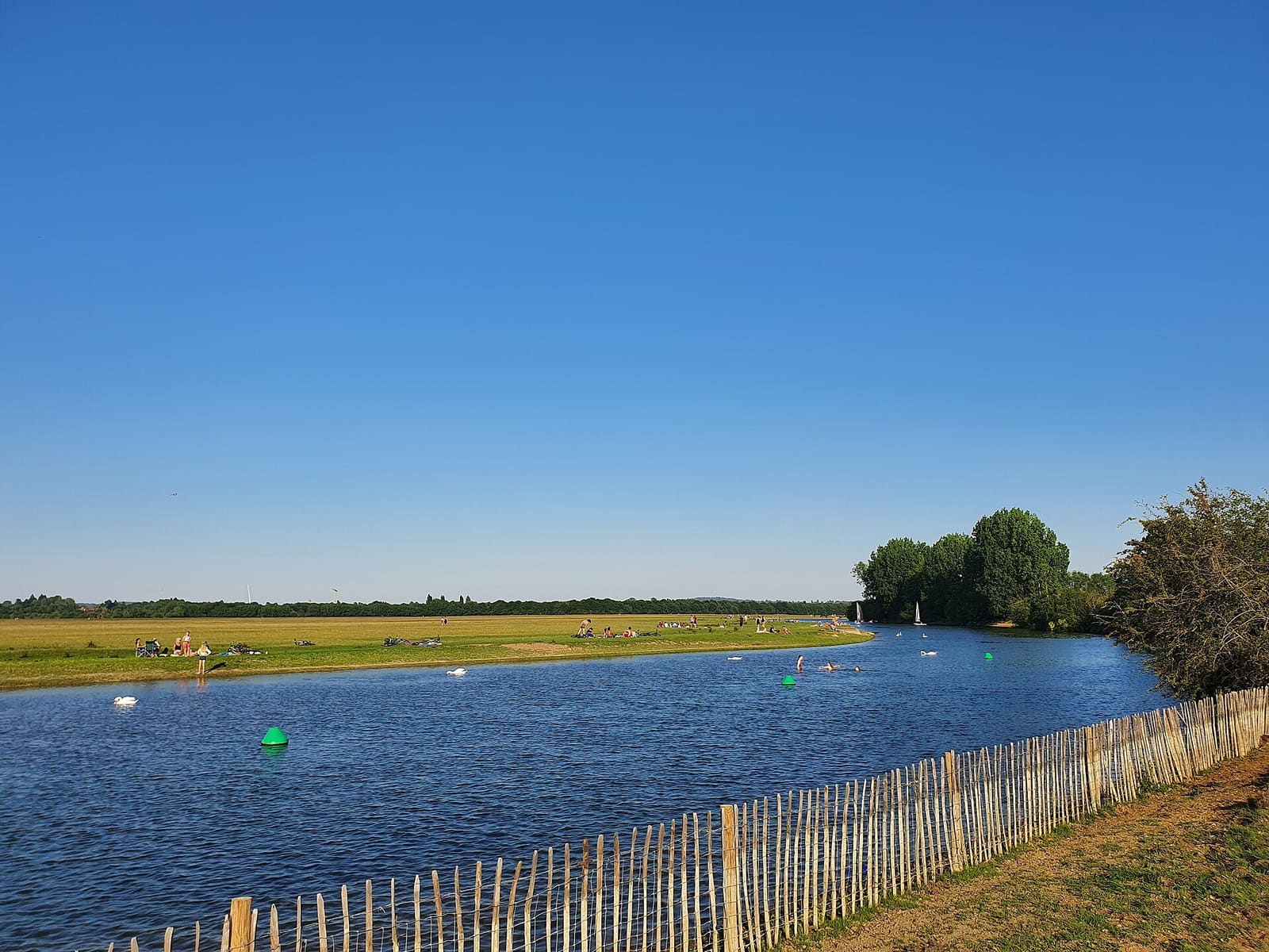
While you are here
Things to see in Jericho, the Castle and Port Meadow
A few of the sights in the area. The Things to do page lists them all, with directions and official links.
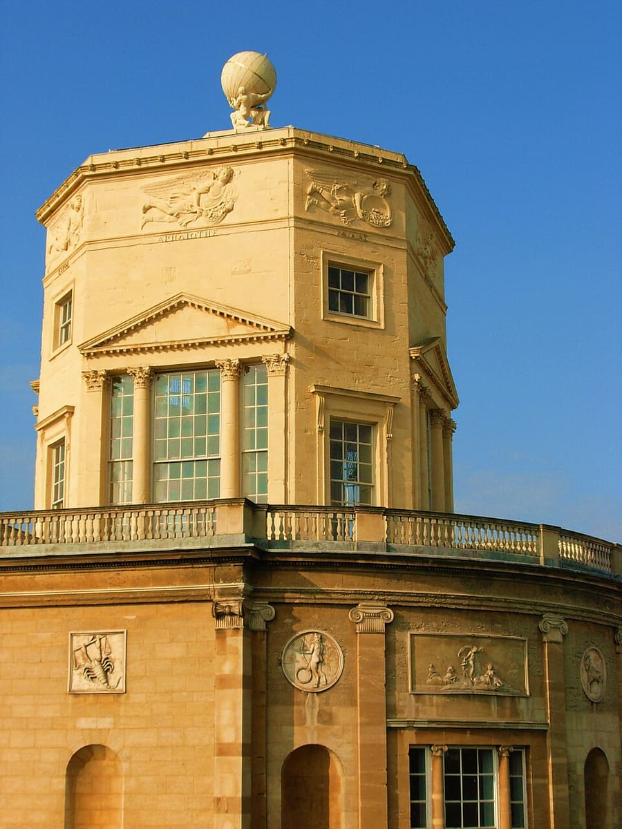
Radcliffe Observatory
Observatorio protegido de grado I, terminado en 1794, en el Radcliffe Observatory Quarter, junto a Woodstock Road.
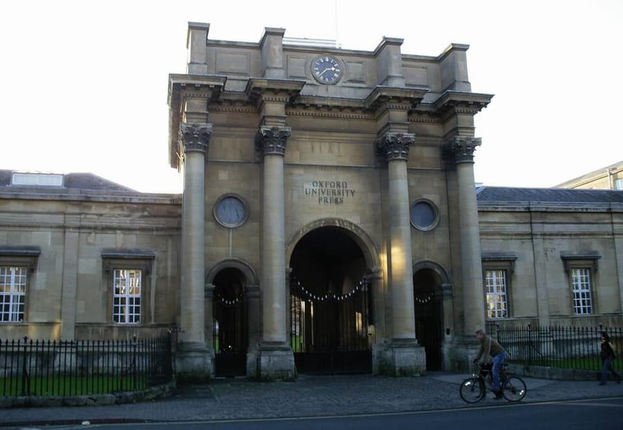
Oxford University Press
Editorial de la universidad, con su sede en Walton Street, en Jericho.
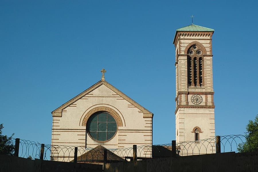
St Barnabas Church
Iglesia con un alto campanario de estilo italianizante, construida en 1868 y punto de referencia del perfil de Jericho.
Oxford
More areas to explore
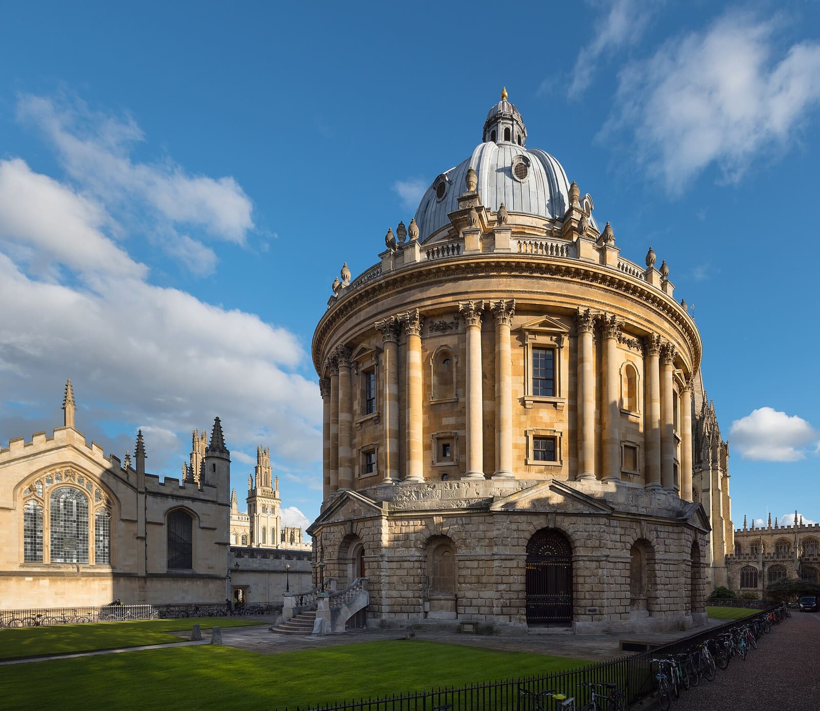
Radcliffe Square, Broad Street and St Giles
La Radcliffe Camera, la Bodleian y los museos y colleges del casco universitario antiguo
Abrir la miniguía →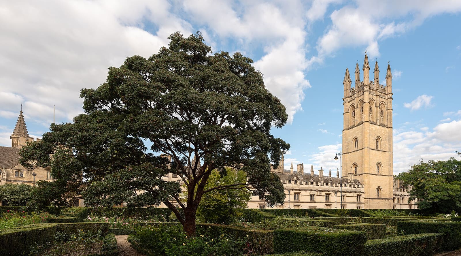
High Street, Magdalen and East Oxford
Colleges a lo largo de High Street, Magdalen Bridge y el Botanic Garden, y después las tiendas y restaurantes de Cowley Road
Abrir la miniguía →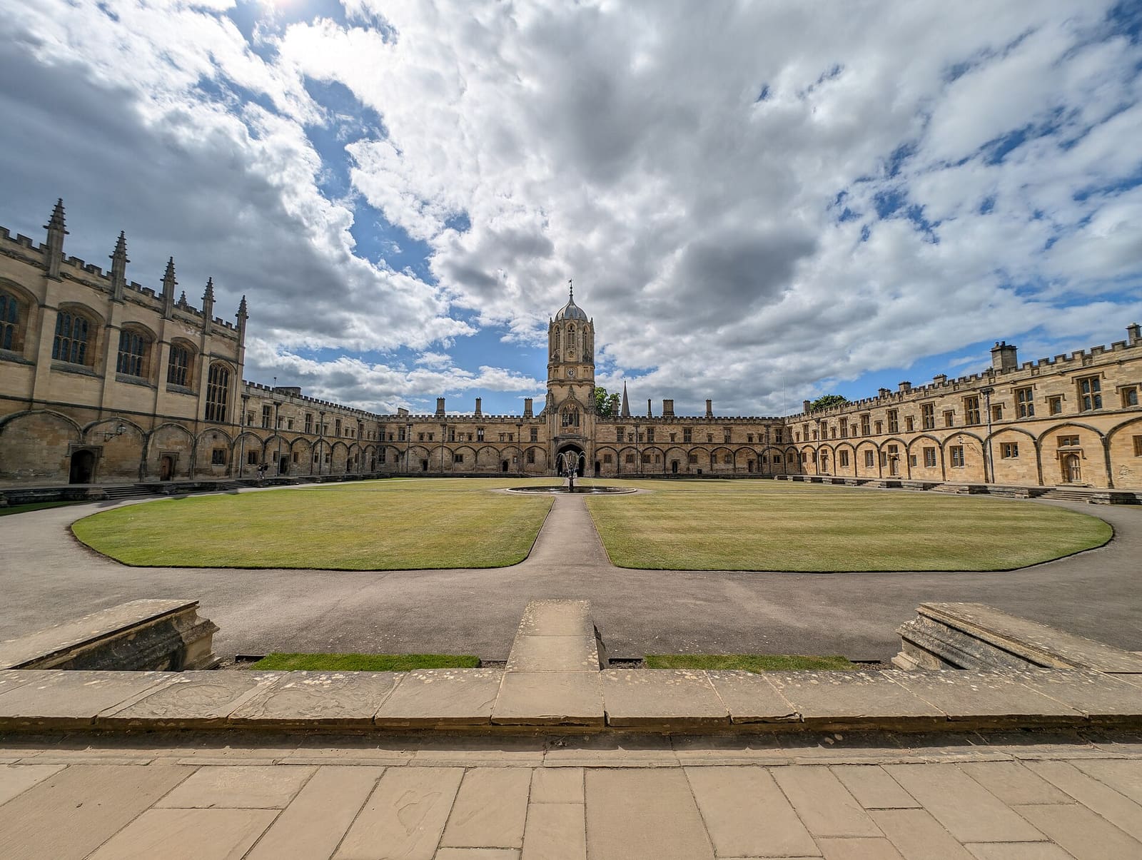
Christ Church, St Aldate's and Folly Bridge
Christ Church y su prado, los colleges tranquilos de Merton Street y el río en Folly Bridge
Abrir la miniguía →Créditos fotográficos
- Worcester College: Ben Rudiak-Gould, Public domain, source
- Jericho, the Castle and Port Meadow (area photo): AstacopsisGouldi, CC BY-SA 4.0, source
- Radcliffe Observatory: Cwawebber, CC BY 3.0, source
- Oxford University Press: Original uploader was user:M stone at en.wikipedia, CC BY-SA 3.0, source
- St Barnabas Church: Motacilla, CC BY-SA 3.0, source
- Radcliffe Square, Broad Street and St Giles: Julian Herzog (Website), CC BY 4.0, source
- High Street, Magdalen and East Oxford: Julian Herzog (Website), CC BY 4.0, source
- Christ Church, St Aldate's and Folly Bridge: Andy Li, CC0, source
Photos from Wikimedia Commons, used under the licences shown. All photo credits