 English (UK)
 English (US)
 Français
 Deutsch
 Español
 Italiano
 Nederlands
 简体中文
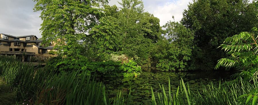
Una mini guida a
Jericho, the Castle and Port Meadow: come arrivare
Fermate, stazioni e come raggiungere Jericho, the Castle and Port Meadow
Fermate e stazioni
Come arrivare a Jericho, the Castle and Port Meadow
Scegliere la fermata più vicina alla destinazione.
| Fermata o stazione | Servizi | Adatto a |
|---|---|---|
| Stazione di Oxford | Great Western Railway e altri gestori | Stazione in Park End Street, al margine meridionale di questa zona |
| Seacourt Park & Ride | Autobus Park & Ride da ovest | Il parcheggio di Seacourt è a ovest di Oxford, vicino a Botley Road; vedere la pagina del City Council |
| Pear Tree e Oxford Parkway Park & Ride | Autobus Park & Ride da nord | Due parcheggi a nord di Oxford; da Oxford Parkway partono anche treni per London Marylebone |
Within walking range
Stations near Jericho, the Castle and Port Meadow
Stations and stops mapped in OpenStreetMap within 2.5 km of the centre of Jericho, the Castle and Port Meadow, nearest first. Distances are straight lines; walking times assume 5 km/h and are a minimum.
| Station or stop | Tipo | Distanza | A piedi |
|---|---|---|---|
| Oxford | Rail station (Great Western Railway) | 600 m | about 7 min |
| Gloucester Green Bus Station | Bus or coach station | 700 m | about 8 min |
Station data: © OpenStreetMap contributors (ODbL), read 1 November 2026. Check step-free access with the operator before you travel.
Walking from nearby areas
- Radcliffe Square, Broad Street and St Giles: 1.1 km from Jericho, the Castle and Port Meadow, about 13 min on foot
- Christ Church, St Aldate's and Folly Bridge: 1.4 km from Jericho, the Castle and Port Meadow, about 16 min on foot
- High Street, Magdalen and East Oxford: 1.7 km from Jericho, the Castle and Port Meadow, about 20 min on foot
Raggiungere Oxford
Informazioni ufficiali sui trasporti
Oxford ha una stazione ferroviaria su Park End Street, collegamenti in pullman da Gloucester Green e aree Park & Ride lungo la tangenziale. Heathrow e Gatwick sono collegati in pullman. Verificare sempre con i gestori orari, tariffe e disservizi aggiornati.
- Experience Oxfordshire: arrivare in treno → — l'organizzazione ufficiale della destinazione
- National Rail: Oxford → — servizi della stazione e accesso senza gradini
- Great Western Railway → — treni da London Paddington
- Chiltern Railways → — treni da London Marylebone
- Oxford Tube → — pullman tra Oxford e Londra
- Oxford Bus Company → — autobus urbani e collegamenti con gli aeroporti
- Oxford City Council: Park & Ride → — i cinque Park & Ride
- Oxford City Council: trasporto pubblico → — treni, pullman e collegamenti con gli aeroporti
- Oxfordshire County Council: Zero Emission Zone → — tariffe, sconti ed esenzioni
- Oxfordshire County Council: filtri al traffico → — ubicazione e regole
Orari, tariffe e disservizi cambiano: per informazioni in tempo reale consultare le pagine dei gestori qui sopra.
Pianifichi qui il tragitto
Inserisca il punto di partenza e Google Maps mostrerà i percorsi per Jericho, the Castle and Port Meadow. Il trasporto pubblico è preselezionato; si può cambiare sulla mappa. Per eventuali disagi in tempo reale, controllare i siti degli operatori.
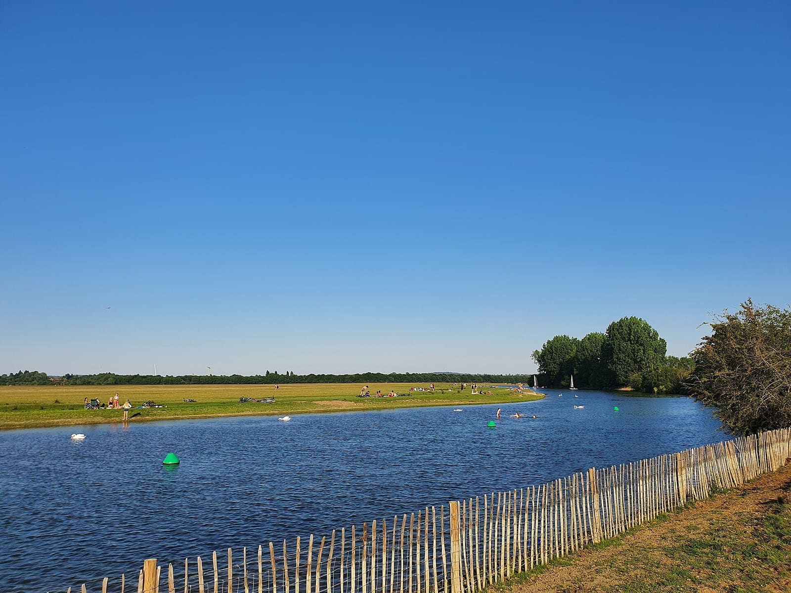
While you are here
Things to see in Jericho, the Castle and Port Meadow
A few of the sights in the area. The Things to do page lists them all, with directions and official links.
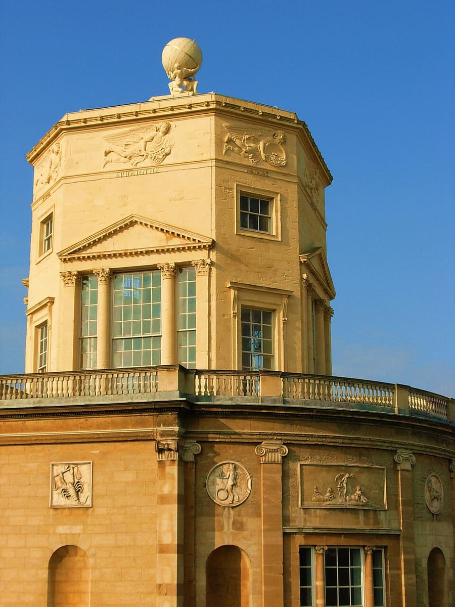
Radcliffe Observatory
Osservatorio classificato Grade I completato nel 1794, nel Radcliffe Observatory Quarter, vicino a Woodstock Road.
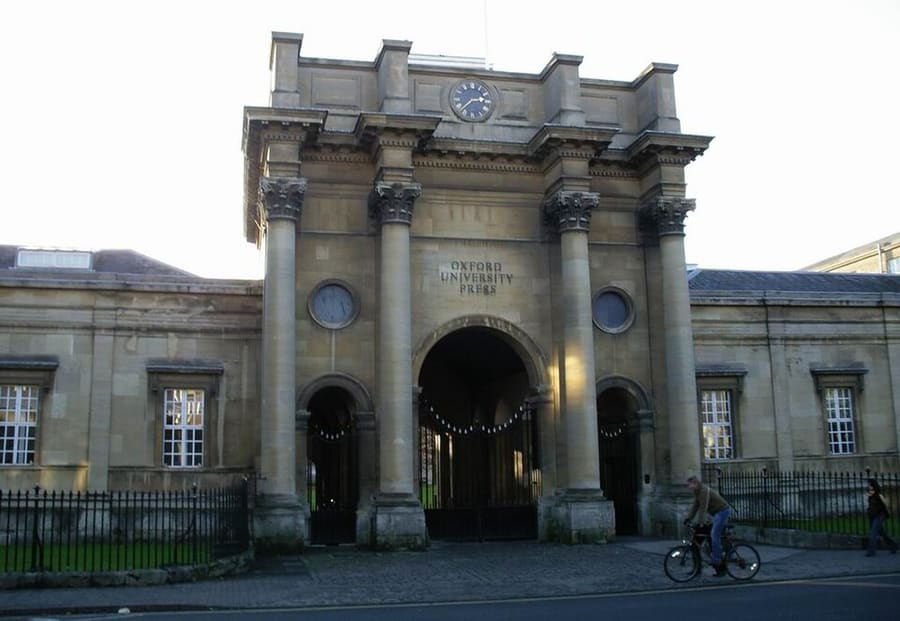
Oxford University Press
La casa editrice dell'università, con la sede centrale su Walton Street, a Jericho.

St Barnabas Church
Chiesa con un alto campanile in stile italianeggiante, costruita nel 1868 e punto di riferimento dello skyline di Jericho.
Oxford
More areas to explore
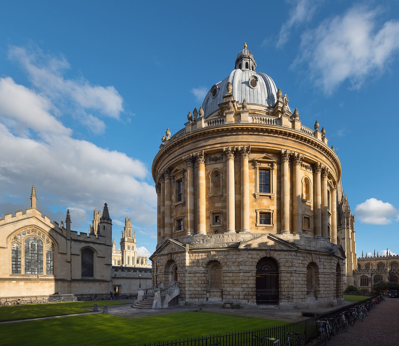
Radcliffe Square, Broad Street and St Giles
La Radcliffe Camera, la Bodleian e i musei e i college dell'antico centro universitario
Apri la mini guida →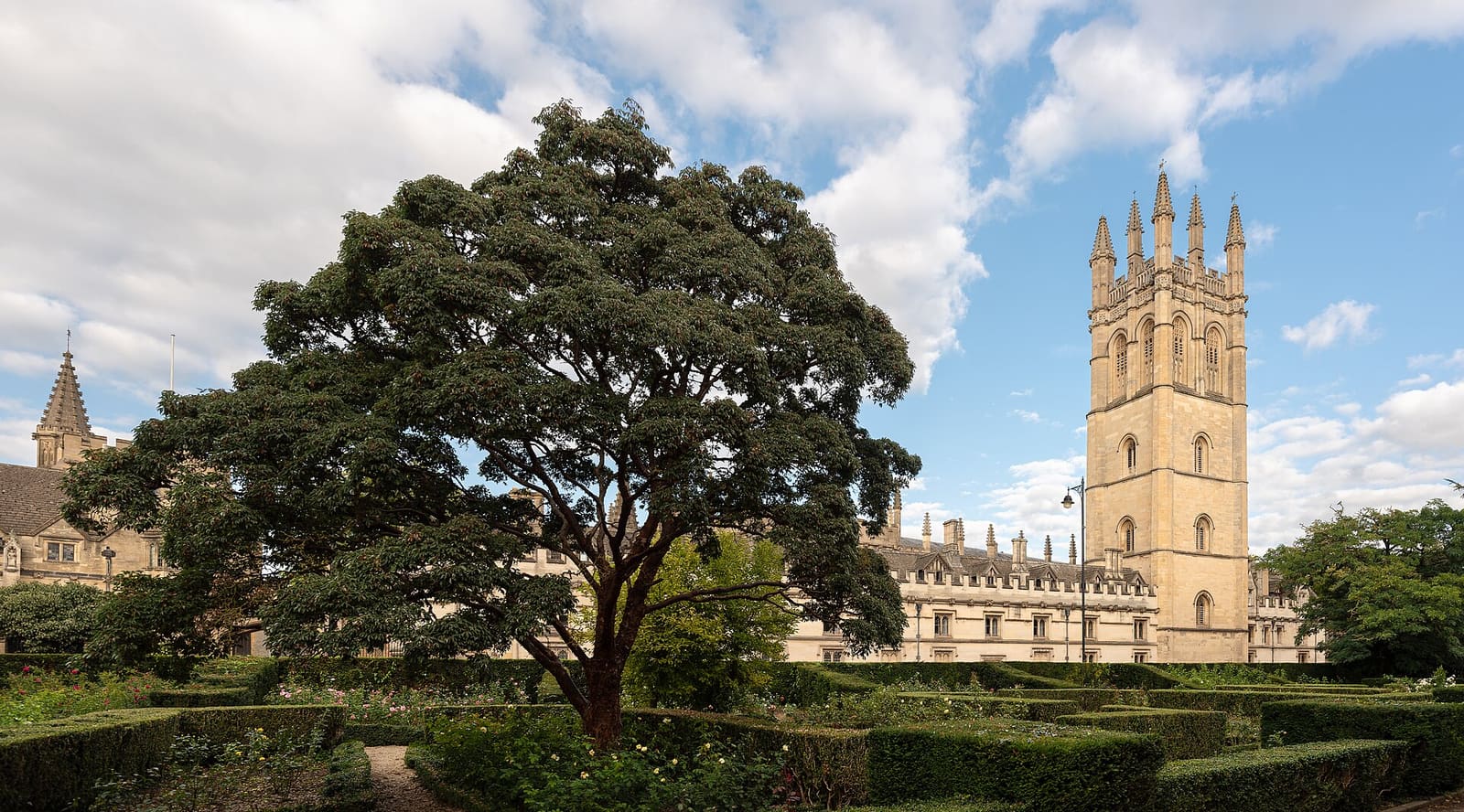
High Street, Magdalen and East Oxford
I college lungo High Street, Magdalen Bridge e il Botanic Garden, poi i negozi e i ristoranti di Cowley Road
Apri la mini guida →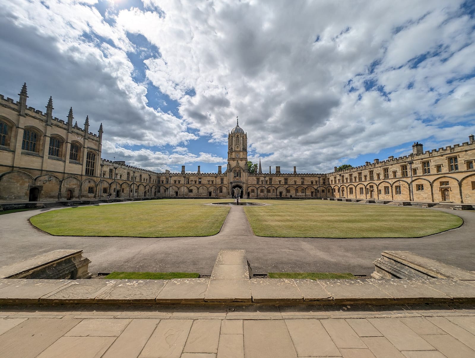
Christ Church, St Aldate's and Folly Bridge
Christ Church e il suo prato, i tranquilli college di Merton Street e il fiume a Folly Bridge
Apri la mini guida →Crediti fotografici
- Worcester College: Ben Rudiak-Gould, Public domain, source
- Jericho, the Castle and Port Meadow (area photo): AstacopsisGouldi, CC BY-SA 4.0, source
- Radcliffe Observatory: Cwawebber, CC BY 3.0, source
- Oxford University Press: Original uploader was user:M stone at en.wikipedia, CC BY-SA 3.0, source
- St Barnabas Church: Motacilla, CC BY-SA 3.0, source
- Radcliffe Square, Broad Street and St Giles: Julian Herzog (Website), CC BY 4.0, source
- High Street, Magdalen and East Oxford: Julian Herzog (Website), CC BY 4.0, source
- Christ Church, St Aldate's and Folly Bridge: Andy Li, CC0, source
Photos from Wikimedia Commons, used under the licences shown. All photo credits