 English (UK)
 English (US)
 Français
 Deutsch
 Español
 Italiano
 Nederlands
 简体中文
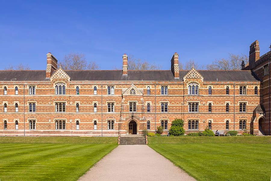
迷你指南:
Radcliffe Square, Broad Street and St Giles:前往方式
车站、站点及前往Radcliffe Square, Broad Street and St Giles的方式
站点与车站
前往 Radcliffe Square, Broad Street and St Giles
请选择离目的地最近的站点。
| 站点或车站 | 服务 | 适合 |
|---|---|---|
| 牛津站 | Great Western Railway 及其他运营商 | 主要火车站位于Park End Street,在市中心以西 |
| Gloucester Green | National Express长途巴士和本地巴士 | 牛津巴士站位于该区西缘;开往伦敦的Oxford Tube和Oxford Bus Company机场巴士同样服务本市 |
| Park & Ride | Pear Tree、Oxford Parkway、Thornhill、Redbridge和Seacourt | 环城路沿线共五处站点,有巴士开往市中心 |
Within walking range
Stations near Radcliffe Square, Broad Street and St Giles
Stations and stops mapped in OpenStreetMap within 2.5 km of the centre of Radcliffe Square, Broad Street and St Giles, nearest first. Distances are straight lines; walking times assume 5 km/h and are a minimum.
| Station or stop | 类型 | 距离 | 步行 |
|---|---|---|---|
| Gloucester Green Bus Station | Bus or coach station | 500 m | about 6 min |
| 牛津 | Rail station (Great Western Railway) | 1.0 km | about 12 min |
Station data: © OpenStreetMap contributors (ODbL), read 1 November 2026. Check step-free access with the operator before you travel.
Walking from nearby areas
- Christ Church, St Aldate's and Folly Bridge: 600 m from Radcliffe Square, Broad Street and St Giles, about 7 min on foot
- High Street, Magdalen and East Oxford: 600 m from Radcliffe Square, Broad Street and St Giles, about 7 min on foot
- Jericho, the Castle and Port Meadow: 1.1 km from Radcliffe Square, Broad Street and St Giles, about 13 min on foot
前往Oxford
官方出行信息
Oxford的火车站位于Park End Street,长途汽车从Gloucester Green发车,环城路周边设有Park & Ride站点,Heathrow和Gatwick有长途汽车连接。时刻、票价和运营中断情况请务必向运营方确认。
- Experience Oxfordshire:乘火车抵达 →——官方旅游目的地机构
- National Rail:Oxford →——车站设施与无障碍通道(无台阶)
- Great Western Railway →——来自 London Paddington 的列车
- Chiltern Railways →——来自 London Marylebone 的列车
- Oxford Tube →——Oxford 与伦敦之间的长途汽车
- Oxford Bus Company →——市内巴士与机场服务
- Oxford City Council:Park & Ride →——五个 Park & Ride 站点
- Oxford City Council:公共交通 →——火车、长途汽车与机场服务
- Oxfordshire County Council:Zero Emission Zone →——收费、折扣与豁免
- Oxfordshire County Council:交通过滤区 →——位置与规定
班次时间、票价和运营中断情况可能变动:请通过上方运营方页面查看实时信息。
在此规划行程
输入起点,Google Maps将显示前往Radcliffe Square, Broad Street and St Giles的路线。已默认选择公共交通,可在地图上更改。实时中断信息请查看运营方网站。
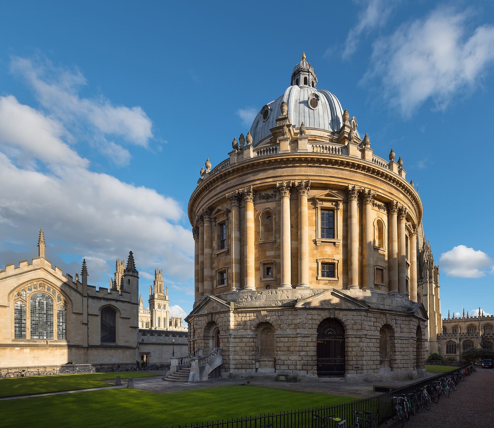
While you are here
Things to see in Radcliffe Square, Broad Street and St Giles
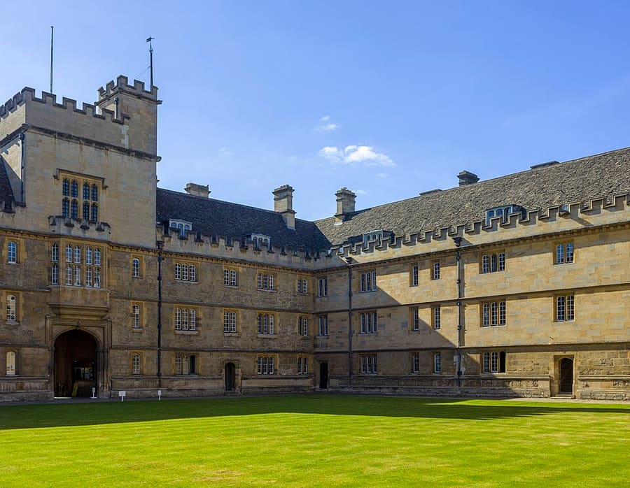
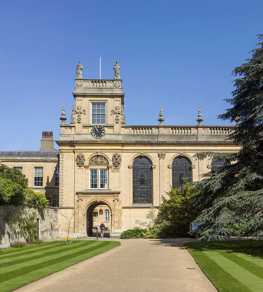
A few of the sights in the area. The Things to do page lists them all, with directions and official links.
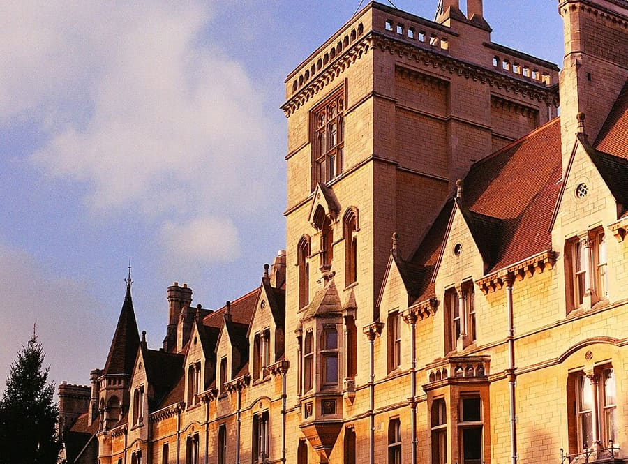
牛津
More areas to explore
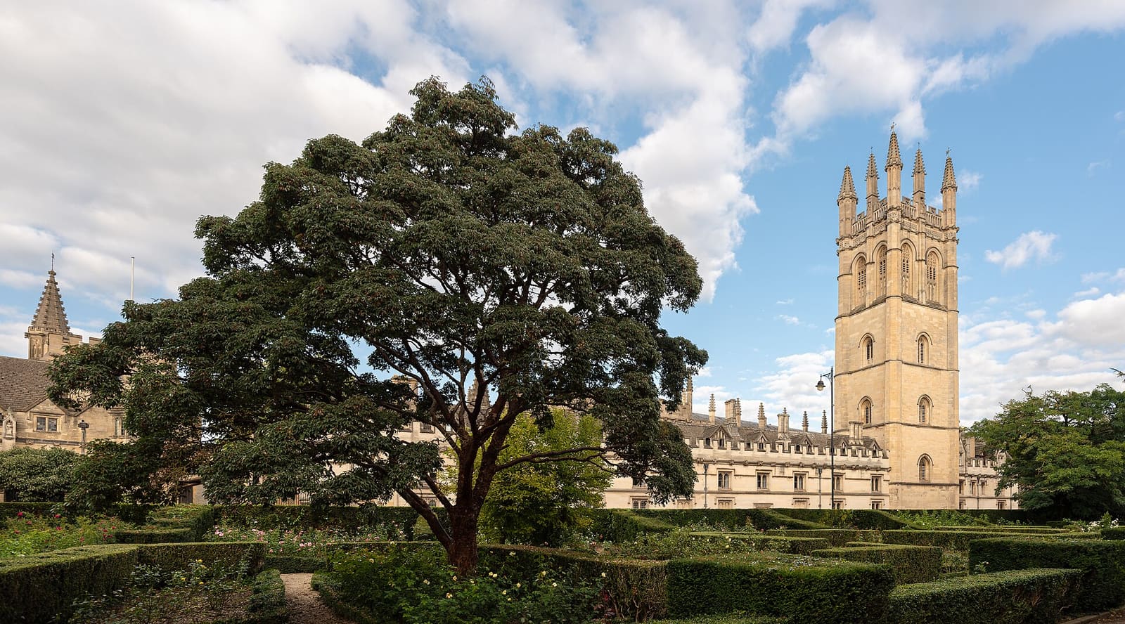
High Street, Magdalen and East Oxford
High Street沿线的学院、Magdalen Bridge和Botanic Garden,再到Cowley Road上的商店和餐厅
打开迷你指南 →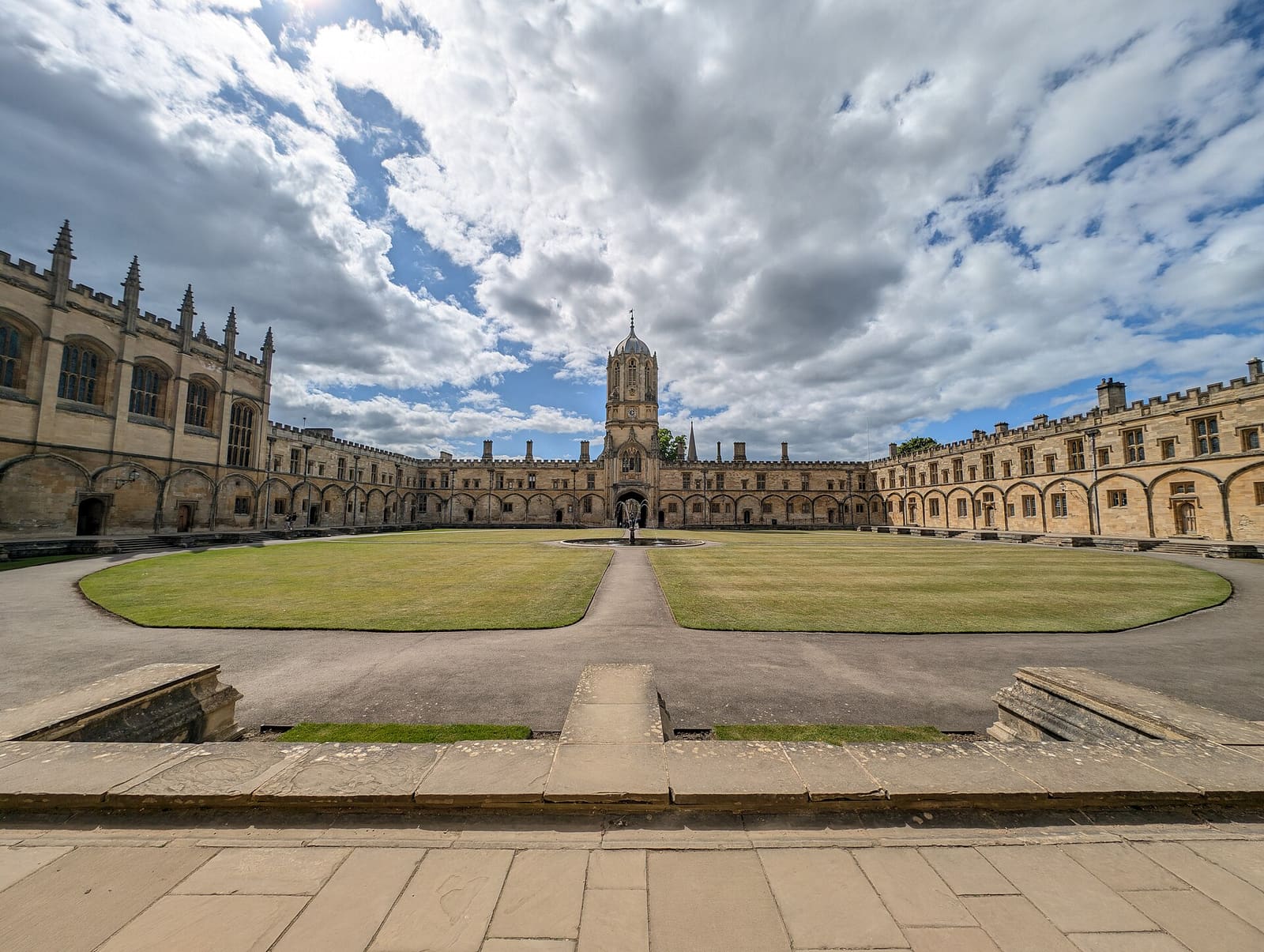
Christ Church, St Aldate's and Folly Bridge
Christ Church及其草地、Merton Street上安静的学院,以及Folly Bridge畔的河岸
打开迷你指南 →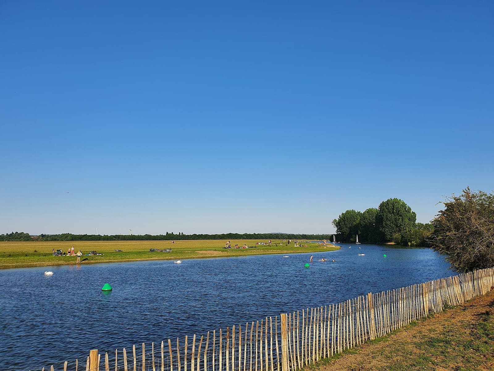
Jericho, the Castle and Port Meadow
Oxford Castle、Jericho街区以及开阔的公共草地Port Meadow
打开迷你指南 →图片来源
- Keble College: Godot13, CC BY-SA 4.0, source
- Radcliffe Square, Broad Street and St Giles (area photo): Julian Herzog (Website), CC BY 4.0, source
- Wadham College: Godot13, CC BY-SA 4.0, source
- Trinity College: Godot13, CC BY-SA 4.0, source
- Balliol College: Toby Ord, CC BY-SA 2.5, source
- High Street, Magdalen and East Oxford: Julian Herzog (Website), CC BY 4.0, source
- Christ Church, St Aldate's and Folly Bridge: Andy Li, CC0, source
- Jericho, the Castle and Port Meadow: AstacopsisGouldi, CC BY-SA 4.0, source
Photos from Wikimedia Commons, used under the licences shown. All photo credits