 English (UK)
 English (US)
 Français
 Deutsch
 Español
 Italiano
 Nederlands
 简体中文
A mini guide to
Radcliffe Square, Broad Street and St Giles: getting there
Stops, stations and how to reach Radcliffe Square, Broad Street and St Giles
Stops and stations
Getting to Radcliffe Square, Broad Street and St Giles
Choose the stop closest to where you are going.
| Stop or station | Services | Good for |
|---|---|---|
| Oxford station | Great Western Railway and other operators | The main railway station is on Park End Street, west of the centre |
| Gloucester Green | National Express coaches and local buses | Oxford bus station on the western edge of this area; the Oxford Tube to London and Oxford Bus Company airport services also serve the city |
| Park & Ride | Pear Tree, Oxford Parkway, Thornhill, Redbridge and Seacourt | Five sites around the ring road; buses run into the city centre |
Within walking range
Stations near Radcliffe Square, Broad Street and St Giles
Stations and stops mapped in OpenStreetMap within 2.5 km of the centre of Radcliffe Square, Broad Street and St Giles, nearest first. Distances are straight lines; walking times assume 5 km/h and are a minimum.
| Station or stop | Type | Distance | On foot |
|---|---|---|---|
| Gloucester Green Bus Station | Bus or coach station | 500 m | about 6 min |
| Oxford | Rail station (Great Western Railway) | 1.0 km | about 12 min |
Station data: © OpenStreetMap contributors (ODbL), read 1 November 2026. Check step-free access with the operator before you travel.
Walking from nearby areas
- Christ Church, St Aldate's and Folly Bridge: 600 m from Radcliffe Square, Broad Street and St Giles, about 7 min on foot
- High Street, Magdalen and East Oxford: 600 m from Radcliffe Square, Broad Street and St Giles, about 7 min on foot
- Jericho, the Castle and Port Meadow: 1.1 km from Radcliffe Square, Broad Street and St Giles, about 13 min on foot
Reaching Oxford
Official travel information
Oxford has a railway station on Park End Street, coach services from Gloucester Green and Park & Ride sites around the ring road. Heathrow and Gatwick are linked by coach. Always check the operators for current times, fares and disruption.
- Experience Oxfordshire: getting here by rail → — the official destination organisation
- National Rail: Oxford → — station facilities and step-free access
- Great Western Railway → — trains from London Paddington
- Chiltern Railways → — trains from London Marylebone
- Oxford Tube → — coaches between Oxford and London
- Oxford Bus Company → — city buses and airport services
- Oxford City Council: Park & Ride → — the five Park & Ride sites
- Oxford City Council: public transport → — trains, coaches and airport services
- Oxfordshire County Council: Zero Emission Zone → — charges, discounts and exemptions
- Oxfordshire County Council: traffic filters → — locations and rules
Times, fares and disruption change: use the operator pages above for live information.
Plan your journey here
Enter your starting point and Google Maps will show routes to Radcliffe Square, Broad Street and St Giles. Public transport is selected; change it on the map. Check operator sites for live disruption.
While you are here
Things to see in Radcliffe Square, Broad Street and St Giles
A few of the sights in the area. The Things to do page lists them all, with directions and official links.
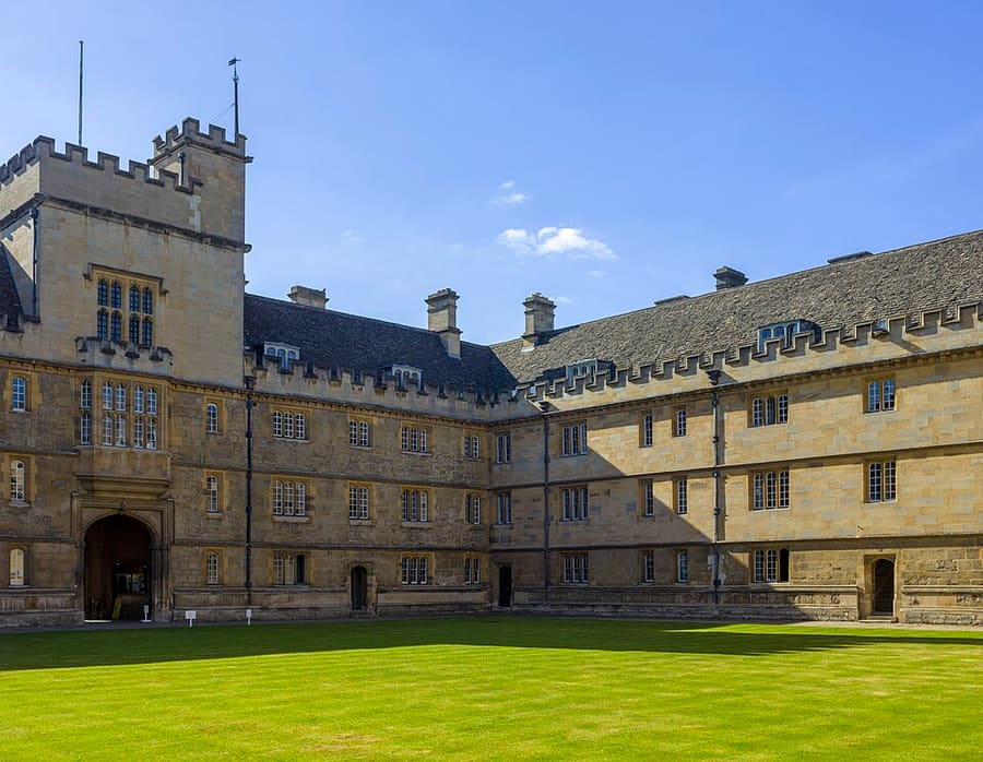
Wadham College
College founded in 1610 on Parks Road, with gardens. Visiting hours vary: check the college.
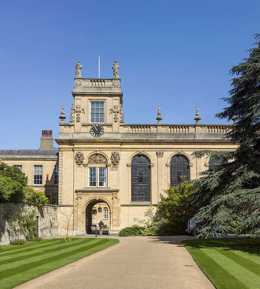
Trinity College
College founded in 1555 and set back behind a gate on Broad Street. Visiting hours vary: check the college.
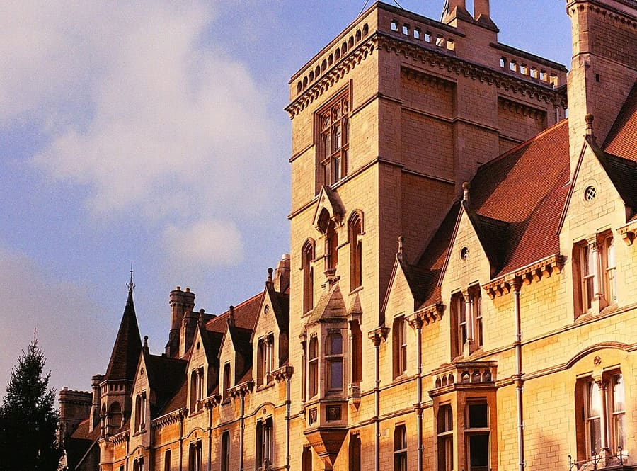
Balliol College
One of the oldest colleges, founded in the 13th century, on Broad Street. Visiting hours vary: check the college.
Oxford
More areas to explore
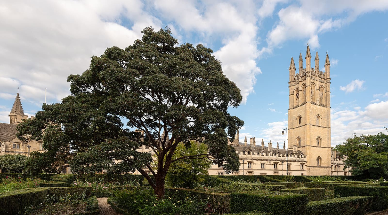
High Street, Magdalen and East Oxford
Colleges along the High Street, Magdalen Bridge and the Botanic Garden, then the shops and restaurants of Cowley Road
Open the mini guide →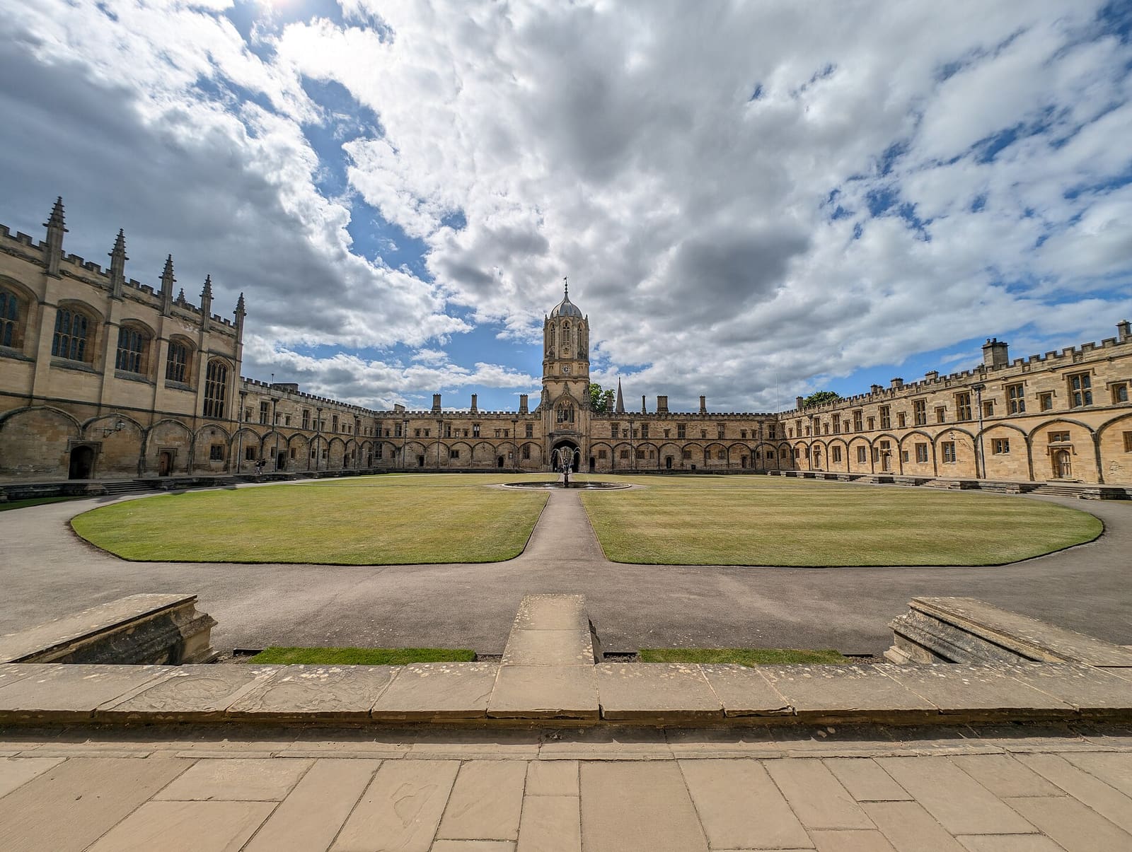
Christ Church, St Aldate's and Folly Bridge
Christ Church and its meadow, the quiet colleges on Merton Street and the river at Folly Bridge
Open the mini guide →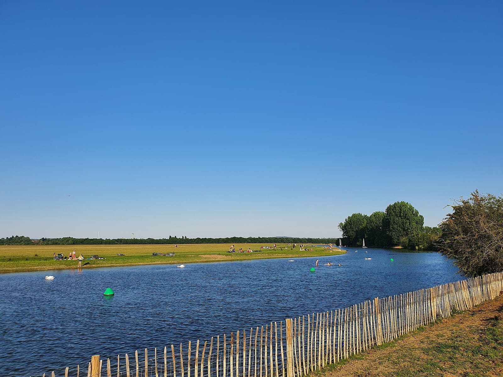
Jericho, the Castle and Port Meadow
Oxford Castle, the streets of Jericho and the open common of Port Meadow
Open the mini guide →Photo credits
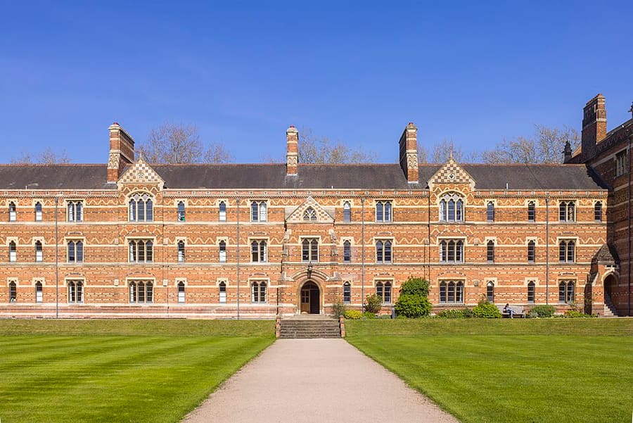
- Keble College: Godot13, CC BY-SA 4.0, source
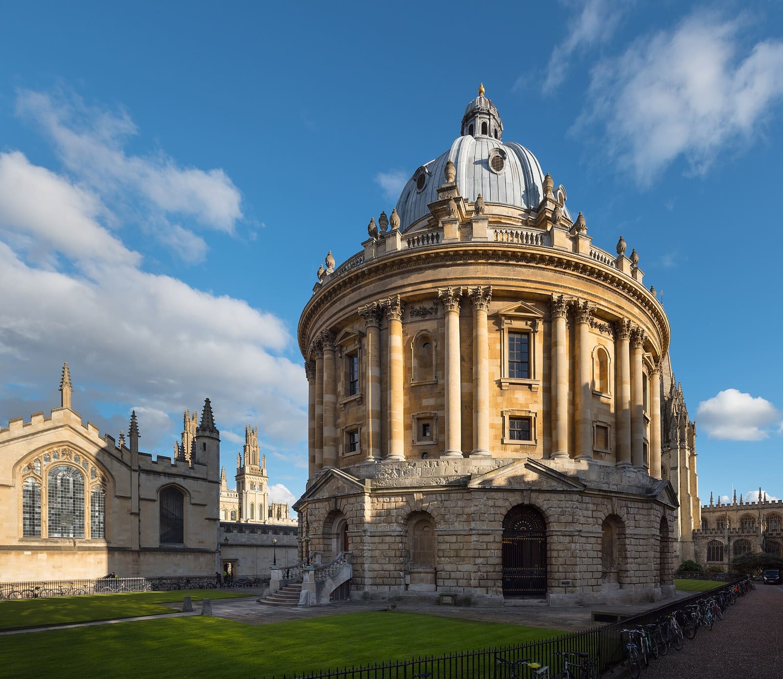
- Radcliffe Square, Broad Street and St Giles (area photo): Julian Herzog (Website), CC BY 4.0, source
- Wadham College: Godot13, CC BY-SA 4.0, source
- Trinity College: Godot13, CC BY-SA 4.0, source
- Balliol College: Toby Ord, CC BY-SA 2.5, source
- High Street, Magdalen and East Oxford: Julian Herzog (Website), CC BY 4.0, source
- Christ Church, St Aldate's and Folly Bridge: Andy Li, CC0, source
- Jericho, the Castle and Port Meadow: AstacopsisGouldi, CC BY-SA 4.0, source
Photos from Wikimedia Commons, used under the licences shown. All photo credits