 English (UK)
 English (US)
 Français
 Deutsch
 Español
 Italiano
 Nederlands
 简体中文
迷你指南:
Padstow & the Camel Estuary: tips and FAQs
本地经验与常见问题
本地经验
游览贴士
骑行 Camel Trail
这条小径供步行者、骑行者、骑马者和轮椅使用者共用,据Wikipedia介绍,从Padstow经Wadebridge和Bodmin到Wenford Bridge全长18.3英里。小径沿河而行,坡度很缓。
参观龙虾孵化场
South Quay的National Lobster Hatchery会在主页发布闭馆通知,例如风暴期间。出发前请查看。
观察野生动物
Visit Cornwall表示,河口以及Carnewas至Stepper Point的海岸都属于National Landscapes,是水獭和珍稀植物的栖息地。
提前预订餐厅
Padstow 的餐厅本身就很吸引人,因此建议提前订位。天气较冷的月份营业时间会缩短,请以各家自己的网站为准。
步行前往Stepper Point或Pentire Head
两处岬角分立于Camel河河口两侧,可沿悬崖步行,South West Coast Path环绕海岸而行。
常见问题
常见问题
Padstow & the Camel Estuary在哪里?
Padstow & the Camel Estuary位于英格兰康沃尔郡,是一处渔港,拥有河口骑行路线和北部海岸的沙滩海湾。附近的站点包括Bodmin Parkway、Newquay Cornwall Airport、Padstow Visitor Information Centre。
在 Padstow & the Camel Estuary 需要多长时间?
两天。如打算外出用餐或游览多个景点,请预留更多时间。
有哪些亮点?
亮点包括Prideaux Place、National Lobster Hatchery、Padstow Museum。更多内容请见“游玩推荐”页面。
如何前往?
附近:Bodmin Parkway(GWR、CrossCountry);Newquay Cornwall机场(航班);Padstow游客信息中心(Mariner’s Clock Building、South Quay);当地巴士(Transport for Cornwall)。“前往方式”页面提供官方时刻表和路线规划工具的链接。
哪里可以吃喝?
我们列出了Padstow & the Camel Estuary及周边的13家餐饮场所,并提供筛选功能帮助您选择。
住在哪里好?
我们列出了附近的 6 家酒店及其他住宿。空房和价格请向各住宿方确认。
Padstow & the Camel Estuary有无障碍设施吗?
无障碍条件因街道、建筑和场所而异。出行前请查看各景点或运营方提供的无障碍信息。
While you are here
Things to see in Padstow & the Camel Estuary
A few of the sights in the area. The Things to do page lists them all, with directions and official links.
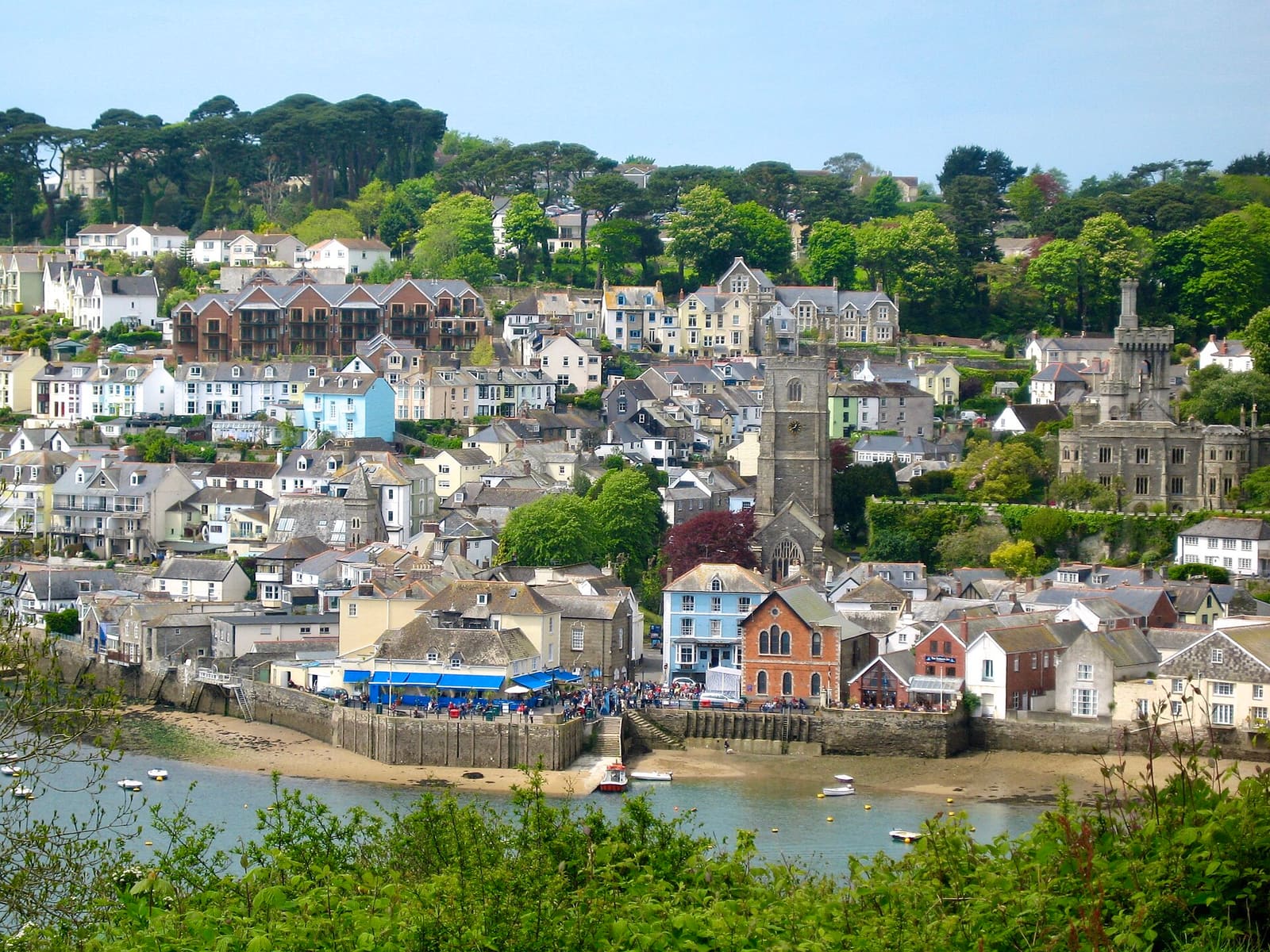
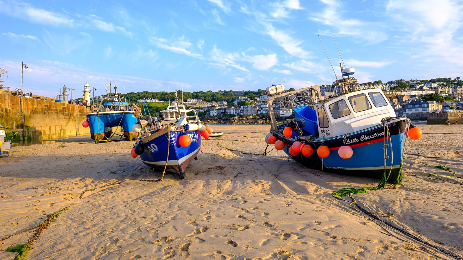
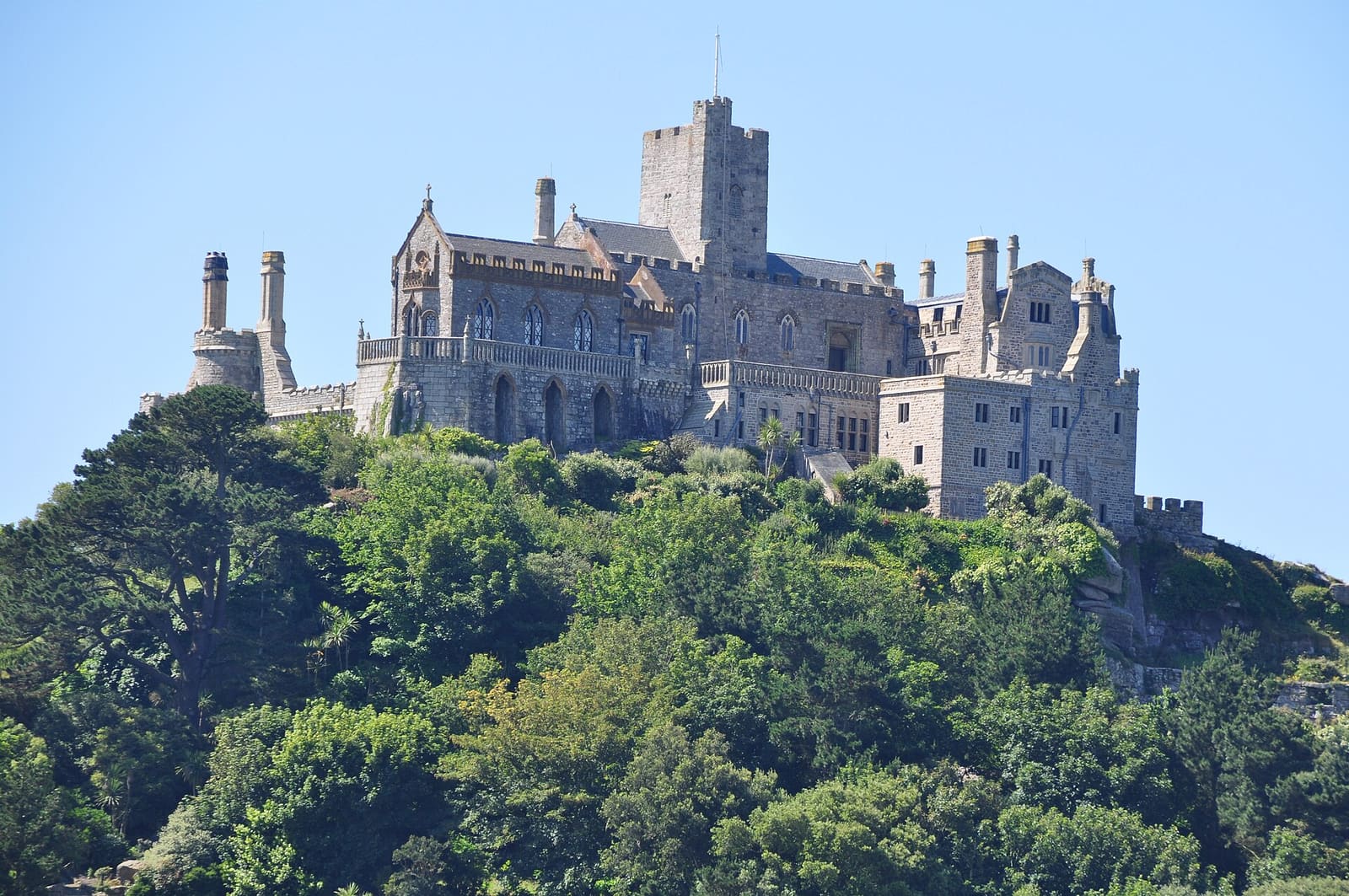
图片来源
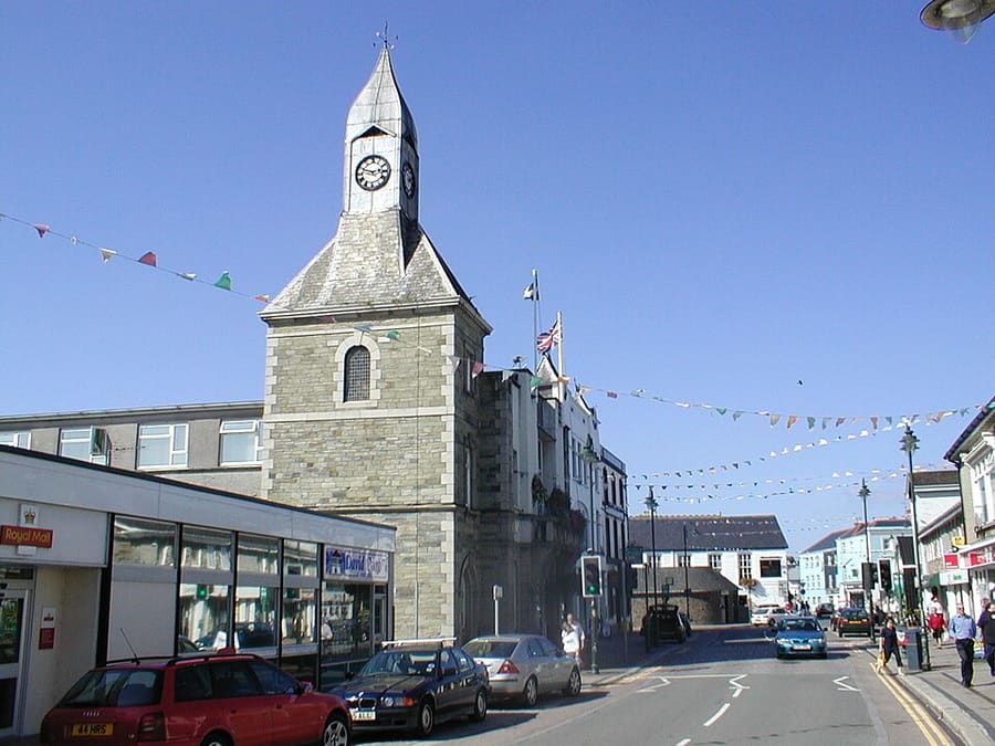
- Wadebridge: en:User:Benjaminevans82, Public domain, source
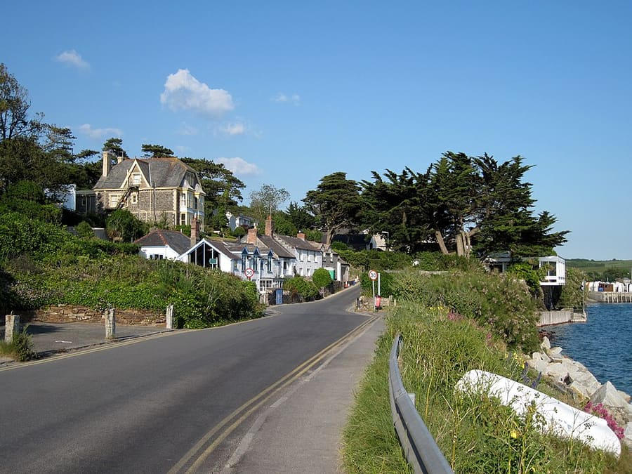
- Rock: Olaf Tausch, CC BY 3.0, source
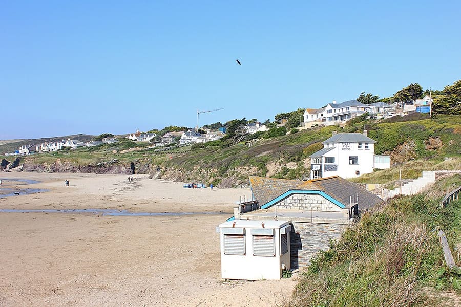
- Polzeath: Wayland Smith, CC BY-SA 2.0, source
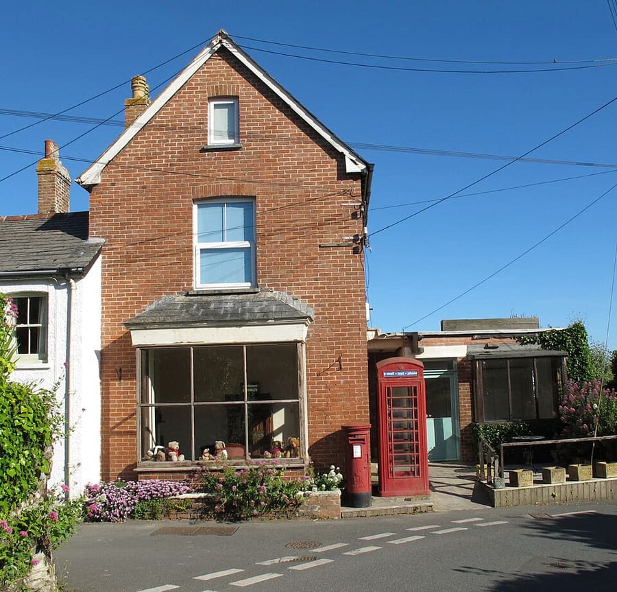
- Trevone: David Hawgood, CC BY-SA 2.0, source
- Fowey, Polperro & the south-east coast: Marika Reinholds, CC BY-SA 2.0, source
- St Ives & West Penwith: ArildV, CC BY-SA 4.0, source
- Penzance, Mousehole & Land’s End: Lewis Clarke, CC BY-SA 2.0, source
- Falmouth & the Helford: Tim Green, CC BY 2.0, source
- Newquay & the North Coast: Otto Domes, CC BY-SA 4.0, source
Photos from Wikimedia Commons, used under the licences shown. All photo credits