 English (UK)
 English (US)
 Français
 Deutsch
 Español
 Italiano
 Nederlands
 简体中文
A mini guide to
Padstow & the Camel Estuary: tips and FAQs
Local know-how and common questions
Local know-how
Tips for visiting
Cycle the Camel Trail
The trail is a shared path for walkers, cyclists, horse riders and wheelchair users, and Wikipedia gives its length as 18.3 miles from Padstow to Wenford Bridge via Wadebridge and Bodmin. It follows the river with only a slight incline.
Visit the lobster hatchery
The National Lobster Hatchery on the South Quay posts closures on its homepage, for example during storms. Check it before you go.
Look at the wildlife
Visit Cornwall says the estuary and the Carnewas to Stepper Point coast are both National Landscapes and home to otters and rare plants.
Book restaurants ahead
Padstow’s restaurants are a draw in themselves, so booking is sensible. Opening hours drop in the colder months, so confirm each place’s own site.
Walk to Stepper Point or Pentire Head
The two headlands stand either side of the mouth of the River Camel and offer cliff walks, with the South West Coast Path running round the coast.
FAQ
Frequently asked questions
Where is Padstow & the Camel Estuary?
Padstow & the Camel Estuary is in Cornwall, England. A fishing port, estuary cycling and sandy bays on the north coast. Nearby stops and stations include Bodmin Parkway, Newquay Cornwall Airport, Padstow Visitor Information Centre.
How long do I need in Padstow & the Camel Estuary?
Two days. Allow longer if you plan to eat out or visit several attractions.
What are the highlights?
Highlights include Prideaux Place, National Lobster Hatchery, Padstow Museum. See the Things to do page for more.
How do I get there?
Nearby: Bodmin Parkway (GWR, CrossCountry); Newquay Cornwall Airport (Flights); Padstow Visitor Information Centre (Mariner’s Clock Building, South Quay); Local buses (Transport for Cornwall). The Getting there page links to the official timetables and journey planners.
Where can I eat and drink?
We list 13 places to eat and drink in and around Padstow & the Camel Estuary, with filters to help you choose.
Where should I stay?
We list 6 hotels and other places to stay nearby. Check availability and prices with each property.
Is Padstow & the Camel Estuary accessible?
Accessibility varies by street, building and venue. Check each attraction or operator’s access information before you travel.
While you are here
Things to see in Padstow & the Camel Estuary
A few of the sights in the area. The Things to do page lists them all, with directions and official links.
Cornwall
More areas to explore
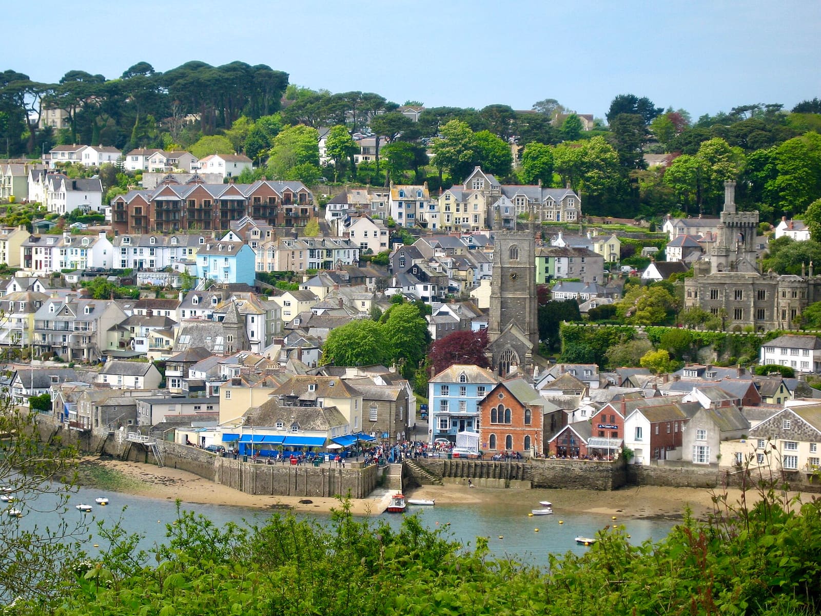
Fowey, Polperro & the south-east coast
A sailing harbour, fishing villages and the clay-pit gardens of Eden
Open the mini guide →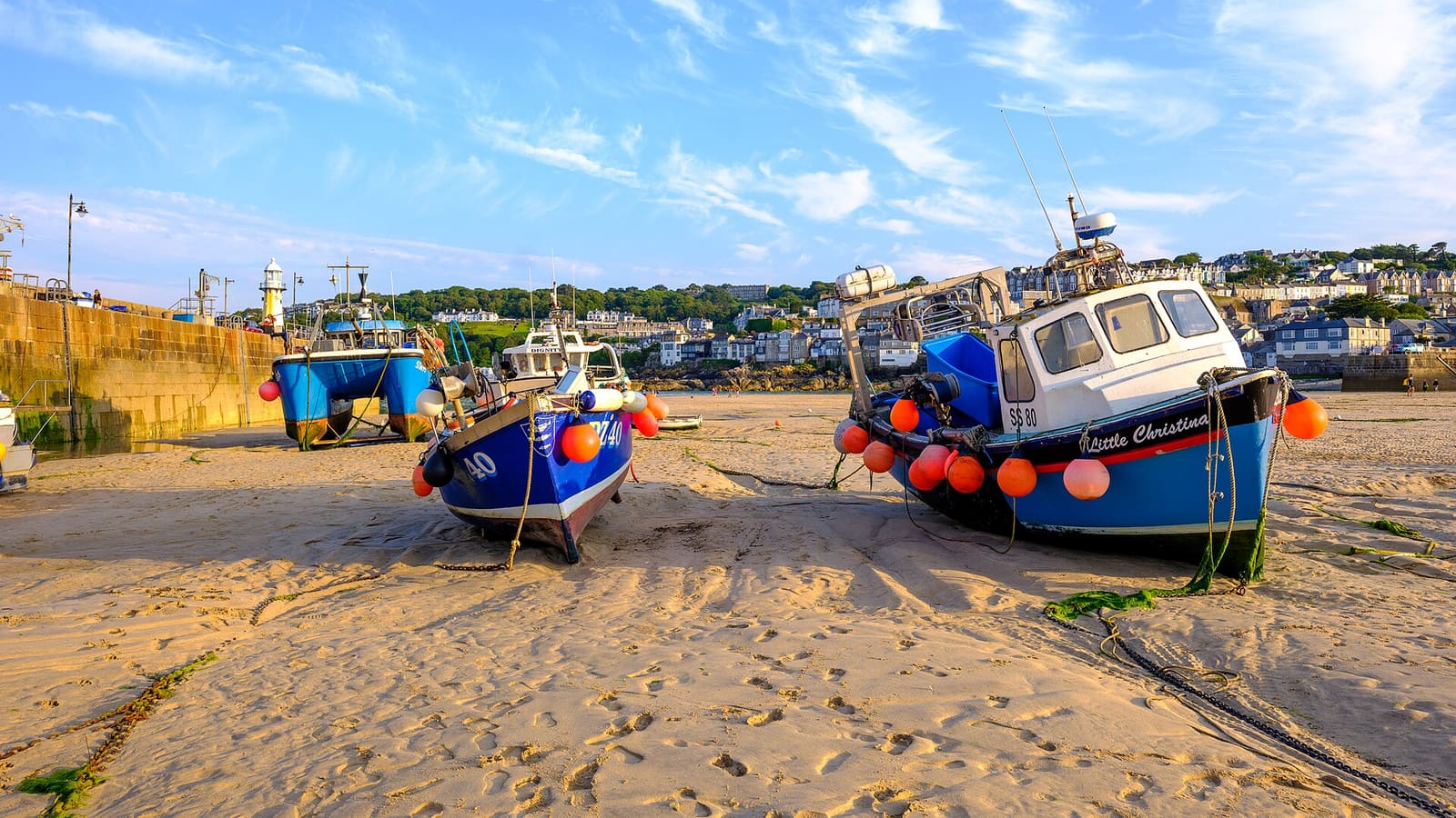
St Ives & West Penwith
Galleries, harbour beaches and the granite moors of Penwith
Open the mini guide →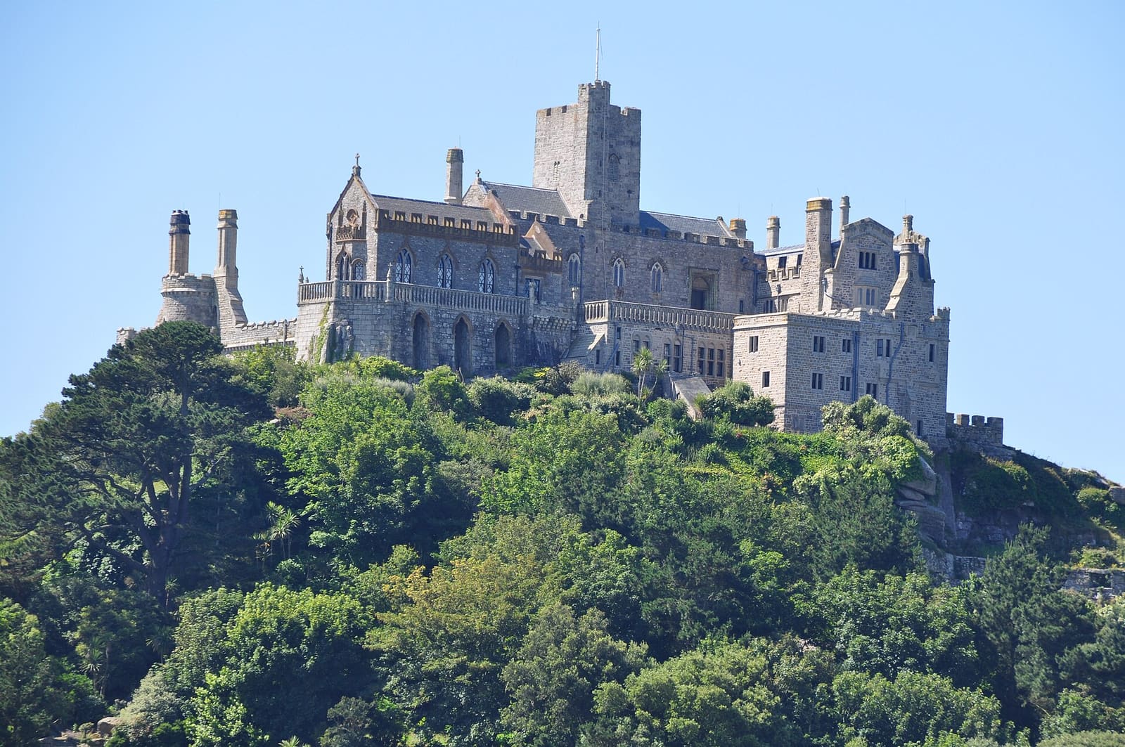
Penzance, Mousehole & Land’s End
A market town, fishing ports and Britain’s south-western tip
Open the mini guide →Photo credits
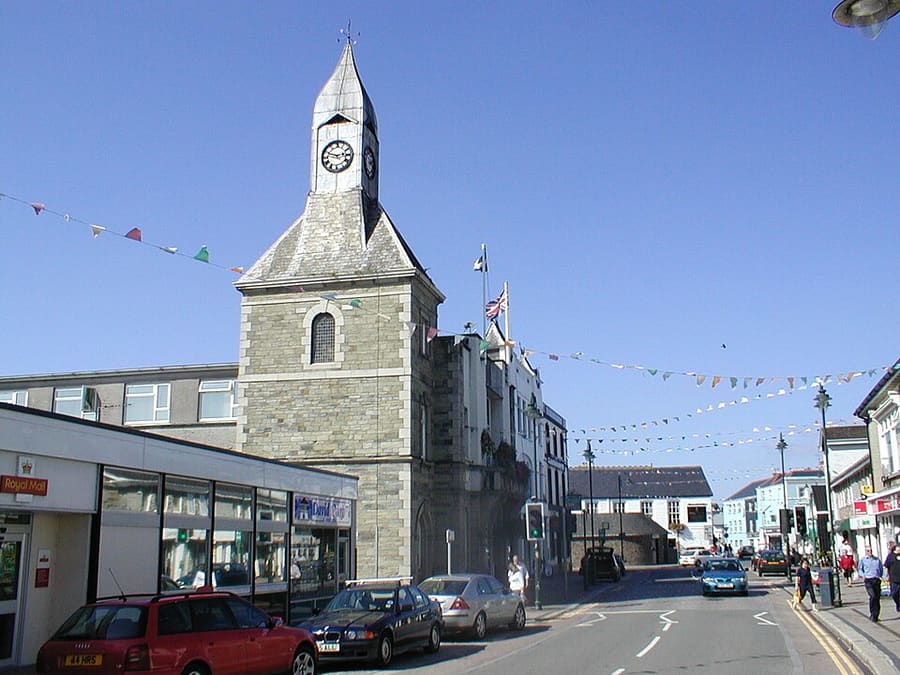
- Wadebridge: en:User:Benjaminevans82, Public domain, source
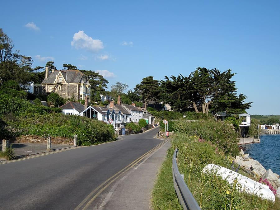
- Rock: Olaf Tausch, CC BY 3.0, source
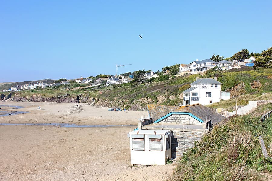
- Polzeath: Wayland Smith, CC BY-SA 2.0, source
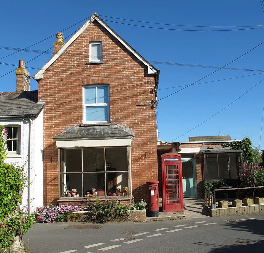
- Trevone: David Hawgood, CC BY-SA 2.0, source
- Fowey, Polperro & the south-east coast: Marika Reinholds, CC BY-SA 2.0, source
- St Ives & West Penwith: ArildV, CC BY-SA 4.0, source
- Penzance, Mousehole & Land’s End: Lewis Clarke, CC BY-SA 2.0, source
- Falmouth & the Helford: Tim Green, CC BY 2.0, source
- Newquay & the North Coast: Otto Domes, CC BY-SA 4.0, source
Photos from Wikimedia Commons, used under the licences shown. All photo credits
Keep exploring Cornwall