 English (UK)
 English (US)
 Français
 Deutsch
 Español
 Italiano
 Nederlands
 简体中文
A mini guide to
Padstow & the Camel Estuary: getting there
Stops, stations and how to reach Padstow & the Camel Estuary
Stops and stations
Getting to Padstow & the Camel Estuary
Choose the stop closest to where you are going.
| Stop or station | Services | Good for |
|---|---|---|
| Bodmin Parkway | GWR, CrossCountry | Cornish Main Line station for Bodmin, three miles south-east of the town; onward by bus or taxi |
| Newquay Cornwall Airport | Flights | Visit Cornwall lists it as the airport for Cornwall; Wikipedia puts it 4.5 miles north-east of Newquay |
| Padstow Visitor Information Centre | Mariner’s Clock Building, South Quay | Visit Cornwall lists the centre for local advice before and during a stay |
| Local buses | Transport for Cornwall | Check the operator for services to Padstow, Rock and Polzeath |
Walking from nearby areas
- Newquay & the North Coast: 17.1 km from Padstow & the Camel Estuary, better by public transport
- Fowey, Polperro & the south-east coast: 35.5 km from Padstow & the Camel Estuary, better by public transport
- Falmouth & the Helford: 44.4 km from Padstow & the Camel Estuary, better by public transport
- St Ives & West Penwith: 53.2 km from Padstow & the Camel Estuary, better by public transport
Reaching Cornwall
Official travel information
Cornwall's main railway line ends at Penzance, there is an airport at Newquay, and long-distance coaches run as far as Penzance. Always check the operator for current times, fares and disruption.
- Visit Cornwall → — the county's official tourism site
- Visit Cornwall: travel and transport → — train, road, air, coach, bus and ferry
- Visit Cornwall: beach safety → — tides, currents and lifeguards
- Great Western Railway: trains to Cornwall → — main line and branch lines
- Great Western Railway: Night Riviera Sleeper → — sleeper timetable and cabins
- National Rail Enquiries → — train times and fares
- Transport for Cornwall → — bus timetables and tickets
- Cornwall Airport Newquay → — flights and onward travel
- National Express → — coaches to Cornwall
- Isles of Scilly Travel → — ferry and Skybus to the Isles of Scilly
Times, fares and disruption change: use the operator pages above for live information.
Plan your journey here
Enter your starting point and Google Maps will show routes to Padstow & the Camel Estuary. Public transport is selected; change it on the map. Check operator sites for live disruption.
While you are here
Things to see in Padstow & the Camel Estuary
A few of the sights in the area. The Things to do page lists them all, with directions and official links.
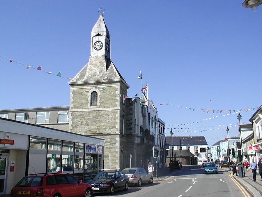
Wadebridge
Town on the River Camel, five miles upstream from Padstow, at the junction of the Camel Trail routes.
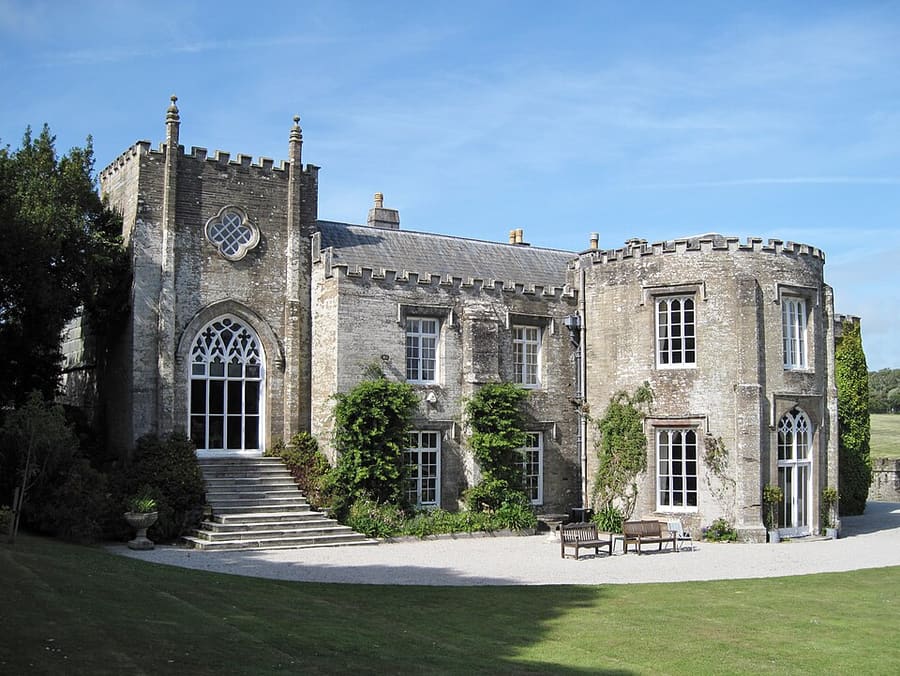
Prideaux Place
Grade I listed Elizabethan house built in 1592 above Padstow, home of the Prideaux family for over 400 years.
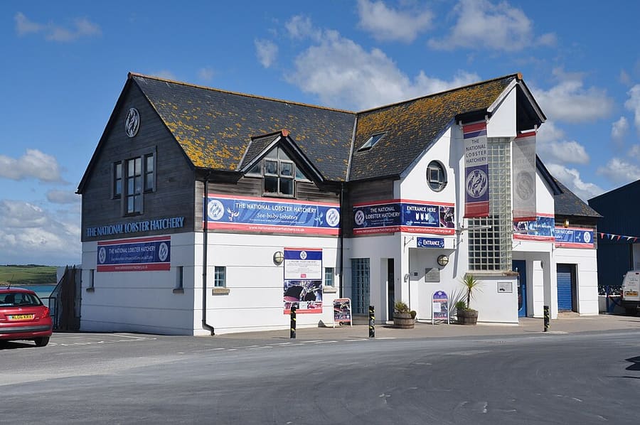
National Lobster Hatchery
Marine conservation charity on the South Quay that rears lobsters for release into the sea.
Cornwall
More areas to explore
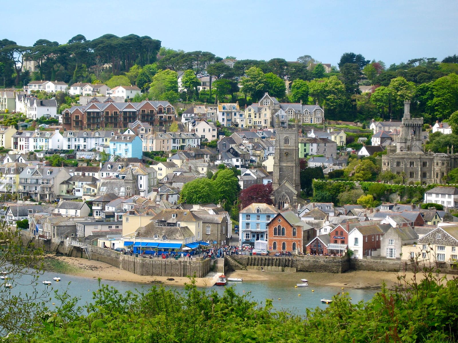
Fowey, Polperro & the south-east coast
A sailing harbour, fishing villages and the clay-pit gardens of Eden
Open the mini guide →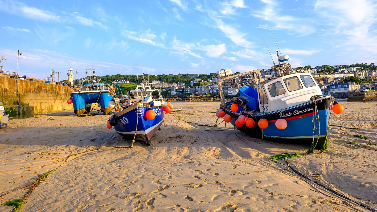
St Ives & West Penwith
Galleries, harbour beaches and the granite moors of Penwith
Open the mini guide →
Penzance, Mousehole & Land’s End
A market town, fishing ports and Britain’s south-western tip
Open the mini guide →Photo credits
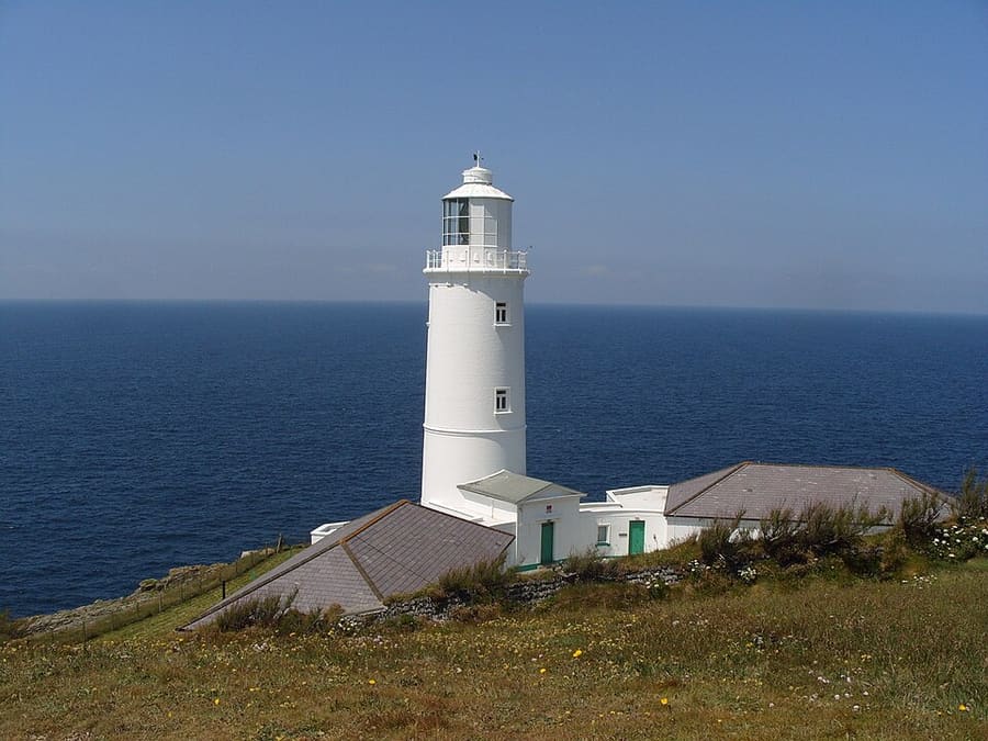
- Trevose Head: Amanda King, CC BY-SA 2.0, source
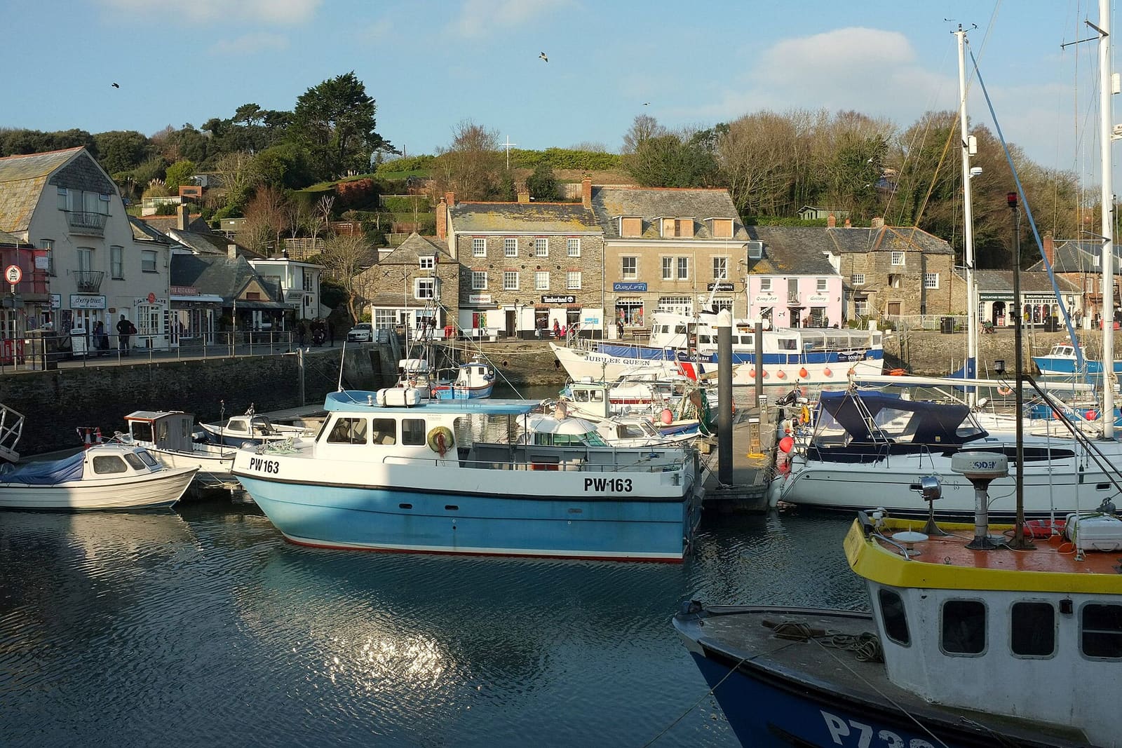
- Padstow & the Camel Estuary (area photo): Derek Harper, CC BY-SA 2.0, source
- Wadebridge: en:User:Benjaminevans82, Public domain, source
- Prideaux Place: Olaf Tausch, CC BY 3.0, source
- National Lobster Hatchery: Nilfanion, CC BY-SA 4.0, source
- Fowey, Polperro & the south-east coast: Marika Reinholds, CC BY-SA 2.0, source
- St Ives & West Penwith: ArildV, CC BY-SA 4.0, source
- Penzance, Mousehole & Land’s End: Lewis Clarke, CC BY-SA 2.0, source
- Falmouth & the Helford: Tim Green, CC BY 2.0, source
- Newquay & the North Coast: Otto Domes, CC BY-SA 4.0, source
Photos from Wikimedia Commons, used under the licences shown. All photo credits
Keep exploring Cornwall