 English (UK)
 English (US)
 Français
 Deutsch
 Español
 Italiano
 Nederlands
 简体中文
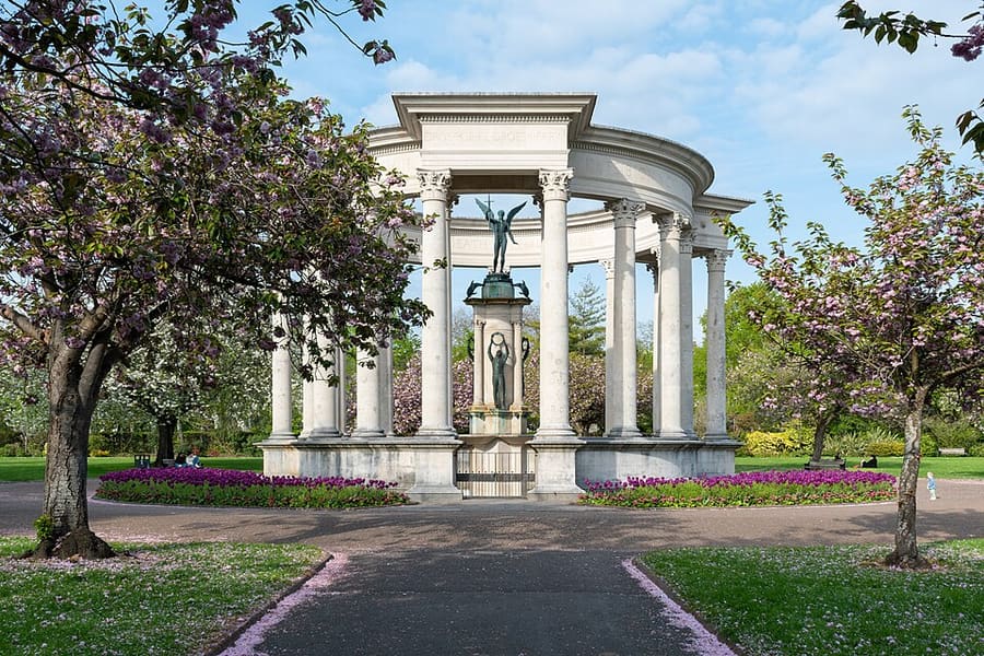
迷你指南:
Cathays Park and Roath: getting there
Stops, stations and how to reach Cathays Park and Roath
站点与车站
Getting to Cathays Park and Roath
请选择离目的地最近的站点。
| 站点或车站 | 服务 | 适合 |
|---|---|---|
| Cathays | Transport for 威尔士 | Station next to the Sherman Theatre, a short walk from Cathays Park |
| Cardiff Queen Street | Transport for 威尔士 | The nearest main station for Roath and the east end of the centre |
| Cardiff Bus | Cardiff Bus | Network across the city; plan journeys with Traveline Cymru |
Within walking range
Stations near Cathays Park and Roath
Stations and stops mapped in OpenStreetMap within 2.5 km of the centre of Cathays Park and Roath, nearest first. Distances are straight lines; walking times assume 5 km/h and are a minimum.
| Station or stop | 类型 | 距离 | 步行 |
|---|---|---|---|
| Sophia Gardens Coach Station | Bus or coach station | 1.7 km | about 21 min |
| Cardiff Bus Interchange | Bus or coach station (Transport for Wales) | 1.9 km | about 23 min |
| Cardiff Central | Rail station (Transport for Wales Rail) | 2.1 km | about 25 min |
| Heath Park High Level | Tram stop | 2.3 km | about 28 min |
Station data: © OpenStreetMap contributors (ODbL), read 1 November 2026. Check step-free access with the operator before you travel.
Walking from nearby areas
- City centre and Cardiff Castle: 1.6 km from Cathays Park and Roath, about 20 min on foot
- Pontcanna, Canton and Llandaff: 2.4 km from Cathays Park and Roath, about 29 min on foot
- Cardiff Bay: 3.5 km from Cathays Park and Roath, about 42 min on foot
Reaching Cardiff
官方出行信息
Cardiff has its own airport, direct trains from London and the rest of Britain, coaches and the M4. Always check the operator for current times, fares and disruption.
- Traveline Cymru → — Journey planner for buses and trains in Wales
- Cardiff Bus → — City bus routes, tickets and the app
- Transport for Wales → — Trains in and around Cardiff, including Cardiff Bay and Cathays
- Visit Cardiff: travel around → — Walking, cycling, waterbus, taxis and maps
班次时间、票价和运营中断情况可能变动:请通过上方运营方页面查看实时信息。
在此规划行程
Enter your starting point and Google Maps will show routes to Cathays Park and Roath. Public transport is selected; change it on the map. Check operator sites for live disruption.
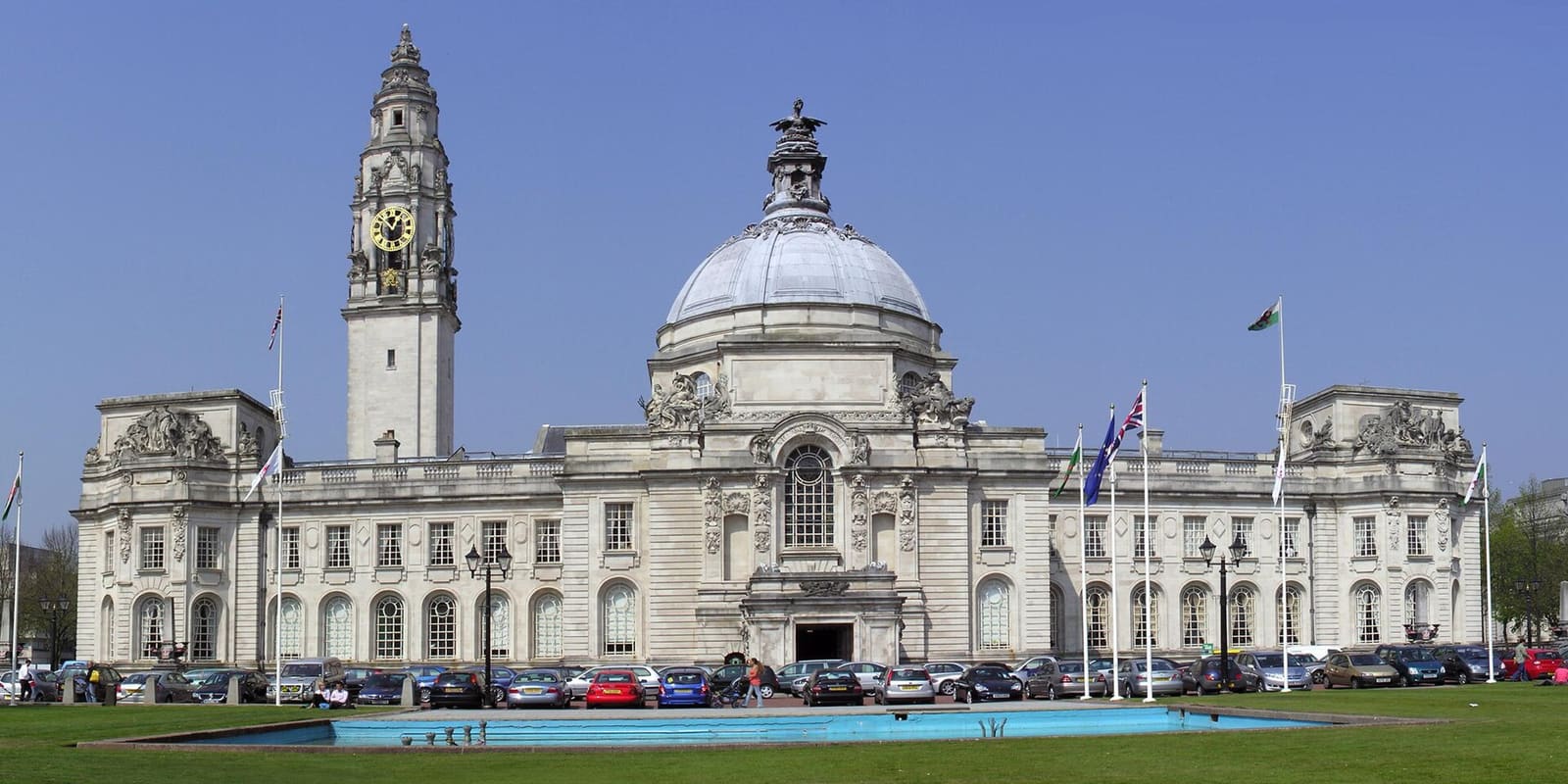
While you are here
Things to see in Cathays Park and Roath
A few of the sights in the area. The Things to do page lists them all, with directions and official links.
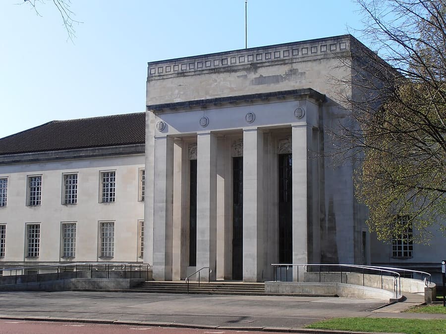
Temple of Peace
Non-religious civic building by Sir Percy Thomas in Cathays Park, the Welsh National Temple of Peace and Health.
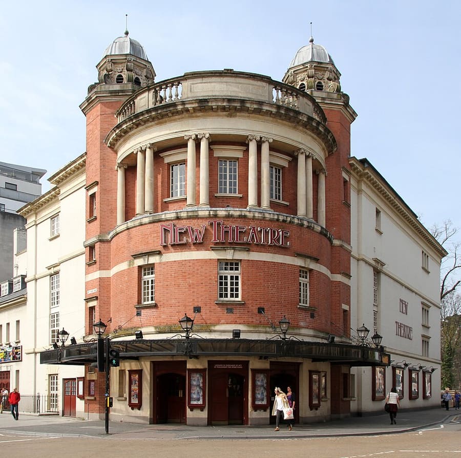
New Theatre
One of the city's main theatres, on Park Place close to Cathays Park.
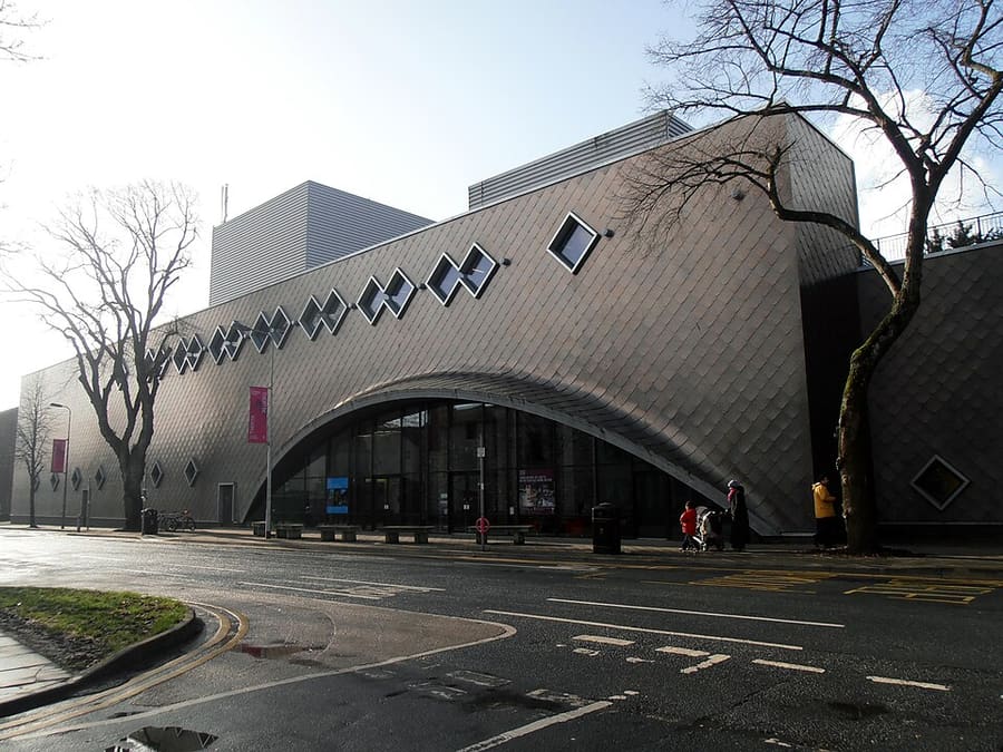
Sherman Theatre
Theatre beside Cathays station, built in 1973 with two auditoriums and now a producing house.
Cardiff
More areas to explore
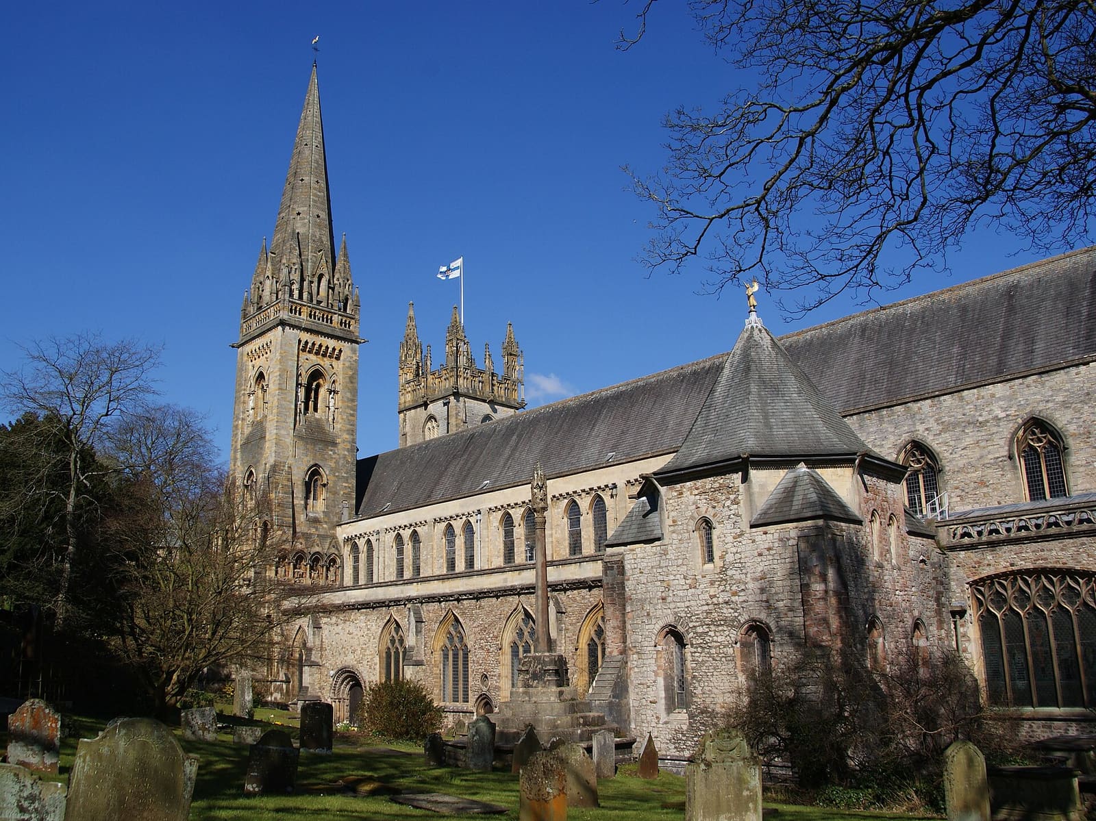
Pontcanna, Canton and Llandaff
Restaurant streets, riverside parkland, a cathedral village and the castles and museum beyond
打开迷你指南 →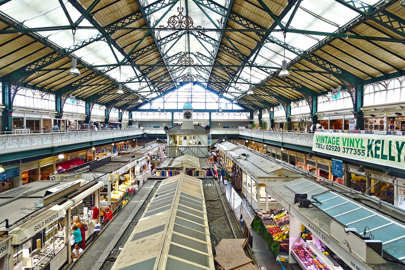
City centre and Cardiff Castle
The castle, the national stadium, a Victorian market and the arcades, all within a short walk
打开迷你指南 →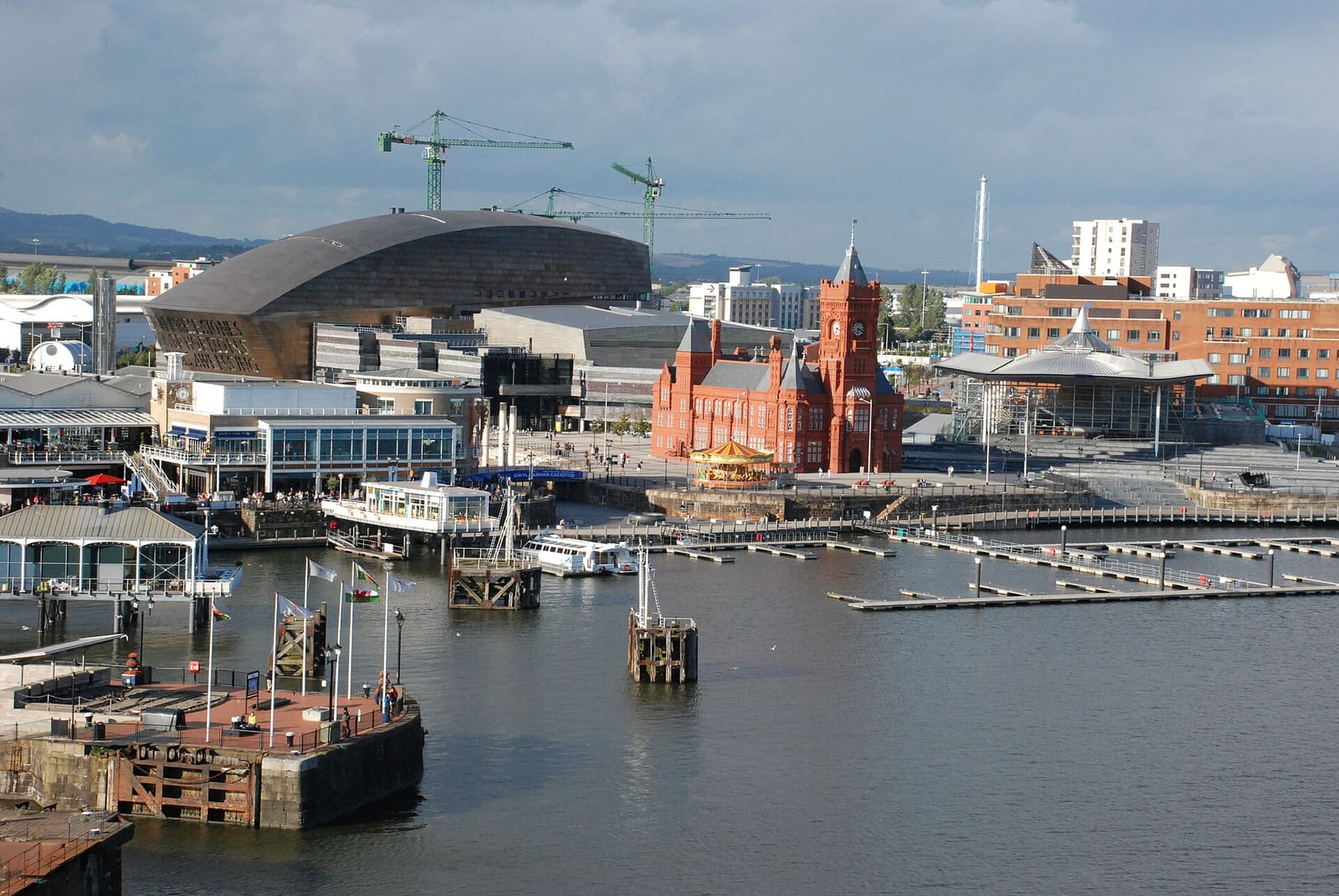
Cardiff Bay
The redeveloped docklands: the Senedd, the Millennium Centre and a freshwater bay
打开迷你指南 →图片来源
- Welsh National War Memorial: Dominic Nelson, CC BY-SA 4.0, source
- Cathays Park and Roath (area photo): User:Yummifruitbat, cropped by User:Ham, CC BY-SA 2.5, source
- Temple of Peace: Ham, CC BY-SA 3.0, source
- New Theatre: Tony Hisgett from Birmingham, UK, CC BY 2.0, source
- Sherman Theatre: Ham, CC BY-SA 3.0, source
- Pontcanna, Canton and Llandaff: Bill Boaden, CC BY-SA 2.0, source
- City centre and Cardiff Castle: Tiia Monto, CC BY-SA 4.0, source
- Cardiff Bay: GeraintTudur2, CC BY-SA 3.0, source
Photos from Wikimedia Commons, used under the licences shown. All photo credits
Keep exploring Cardiff