 English (UK)
 English (US)
 Français
 Deutsch
 Español
 Italiano
 Nederlands
 简体中文
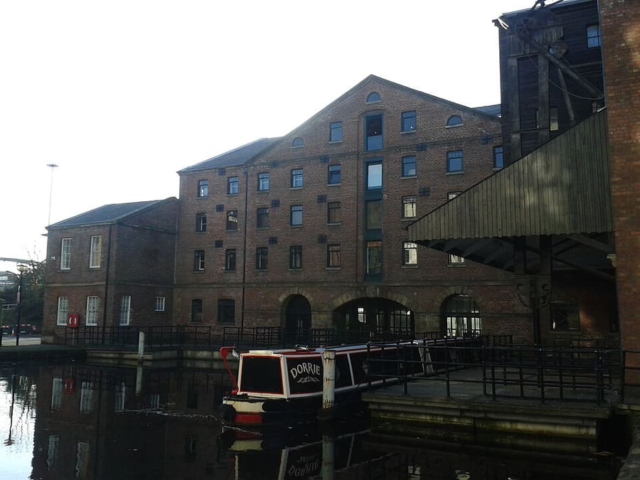
A mini guide to
Kelham Island and the River Don: getting there
Stops, stations and how to reach Kelham Island and the River Don
Stops and stations
Getting to Kelham Island and the River Don
Choose the stop closest to where you are going.
| Stop or station | Services | Good for |
|---|---|---|
| Shalesmoor | Supertram | Nearest tram stop to Kelham Island and its museum |
| Castle Square | Supertram | Tram stop near the castle site and Lady's Bridge |
| Fitzalan Square / Ponds Forge | Supertram | Tram stop for Victoria Quays and the Five Weirs Walk |
Within walking range
Stations near Kelham Island and the River Don
Stations and stops mapped in OpenStreetMap within 2.5 km of the centre of Kelham Island and the River Don, nearest first. Distances are straight lines; walking times assume 5 km/h and are a minimum.
| Station or stop | Type | Distance | On foot |
|---|---|---|---|
| Cathedral | Tram stop (Stagecoach) | 500 m | about 7 min |
| City Hall | Tram stop (Stagecoach) | 700 m | about 8 min |
| Arundel Gate Interchange | Bus or coach station | 700 m | about 8 min |
Station data: © OpenStreetMap contributors (ODbL), read Nov 3, 2026. Check step-free access with the operator before you travel.
Walking from nearby areas
- City Centre and the Winter Garden: 800 m from Kelham Island and the River Don, about 9 min on foot
- University, Botanical Gardens and the Porter Valley: 2.3 km from Kelham Island and the River Don, about 27 min on foot
Reaching Sheffield
Official travel information
Sheffield has a main-line station beside the city centre and a tram network; it has no airport of its own. Always check the operator for current times, fares and disruption.
- National Rail: Sheffield station → — facilities, step-free access and departures
- Travel South Yorkshire: Supertram → — routes, stops and tickets
- Welcome to Sheffield → — official destination website
Times, fares and disruption change: use the operator pages above for live information.
Plan your journey here
Enter your starting point and Google Maps will show routes to Kelham Island and the River Don. Public transport is selected; change it on the map. Check operator sites for live disruption.
While you are here
Things to see in Kelham Island and the River Don
A few of the sights in the area. The Things to do page lists them all, with directions and official links.
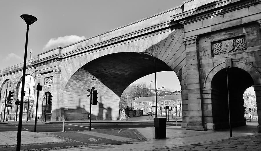
Wicker Arches
Grade II* listed railway viaduct across the Don valley, named after the Wicker, the road through its main arch.
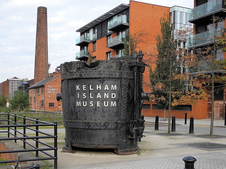
Kelham Island Museum
Museum of Sheffield industry by the River Don, with the River Don Engine in steam and a Bessemer Converter; free.
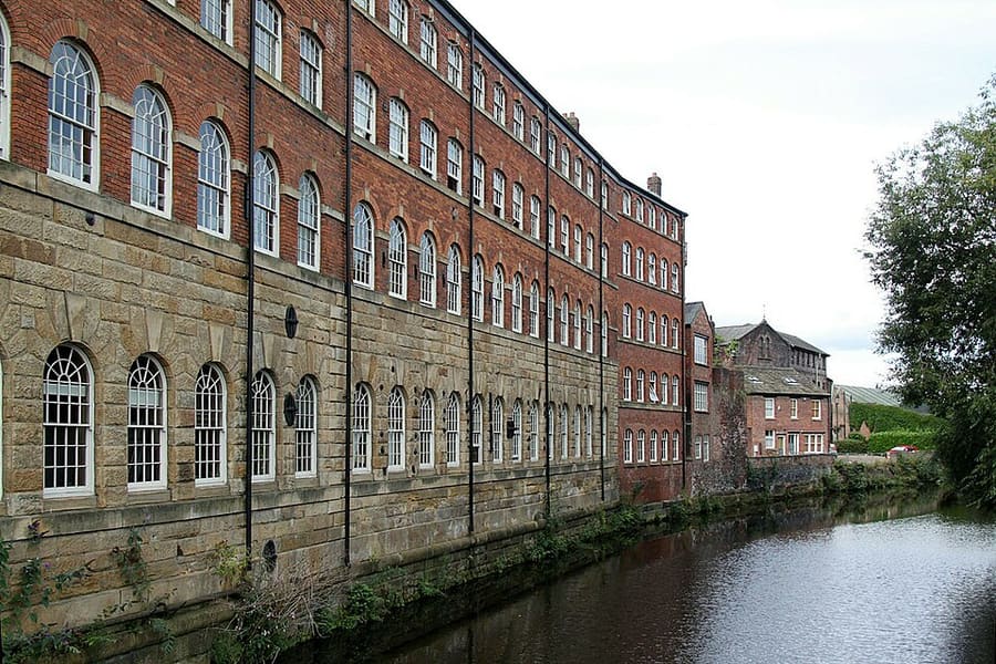
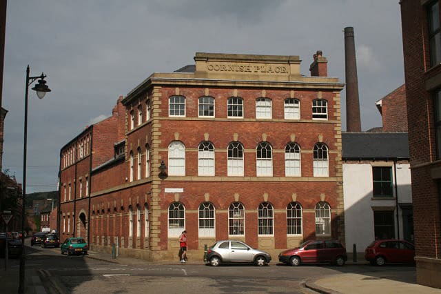
Cornish Place
Listed former cutlery works of James Dixon & Sons by the Don, converted to flats in the late 1990s.
Sheffield
More areas to explore
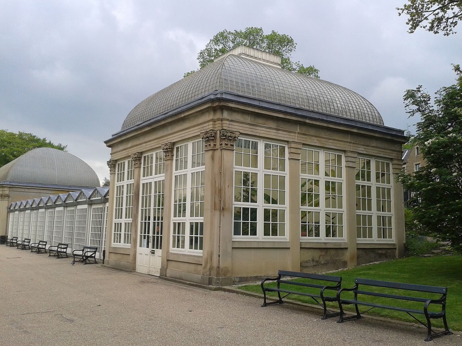
University, Botanical Gardens and the Porter Valley
Weston Park Museum, the Botanical Gardens and a chain of parks along the Porter Brook
Open the mini guide →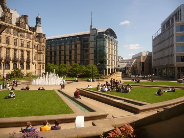
City Centre and the Winter Garden
A glasshouse, free galleries, the Crucible and two cathedrals within a short walk
Open the mini guide →Photo credits
- Victoria Quays: Warofdreams, CC BY-SA 3.0, source
- Kelham Island and the River Don (area photo): Alan Murray-Rust, CC BY-SA 2.0, source
- Wicker Arches: dave hudson, CC BY-SA 2.0, source
- Kelham Island Museum: Mick Knapton, CC BY-SA 4.0, source
- Cornish Place: Alan Murray-Rust, CC BY-SA 2.0, source
- University, Botanical Gardens and the Porter Valley: Warofdreams, CC BY-SA 3.0, source
- City Centre and the Winter Garden: Chris Downer, CC BY-SA 2.0, source
Photos from Wikimedia Commons, used under the licences shown. All photo credits