 English (UK)
 English (US)
 Français
 Deutsch
 Español
 Italiano
 Nederlands
 简体中文
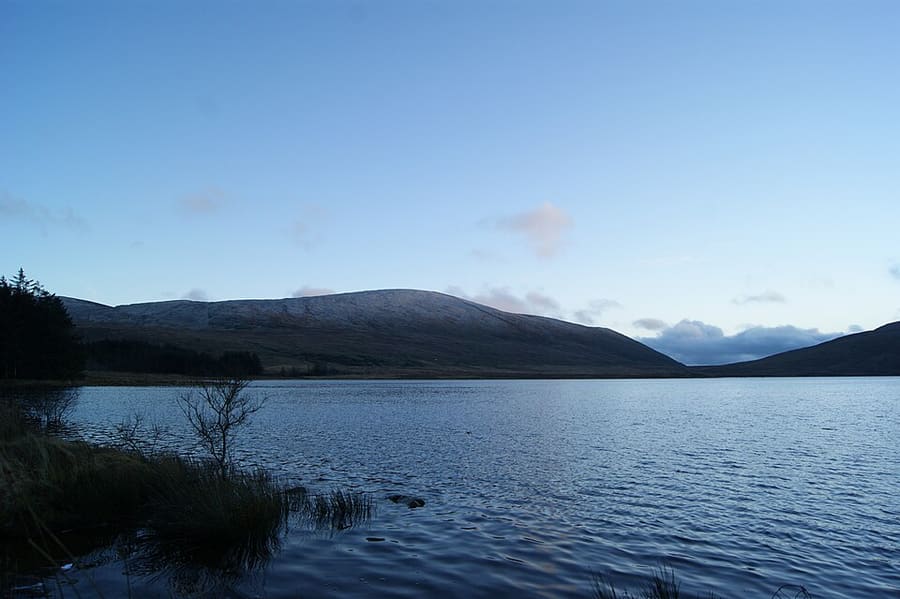
A mini guide to
The Mournes & Newcastle: getting there
Stops, stations and how to reach The Mournes & Newcastle
Stops and stations
Getting to The Mournes & Newcastle
Choose the stop closest to where you are going.
| Stop or station | Services | Good for |
|---|---|---|
| Newcastle | Buses | Check Translink for bus services to Newcastle from Belfast and other towns |
| Silent Valley | Car | The Silent Valley Mountain Park is run by Northern Ireland Water; check its page for access arrangements |
| Tollymore | Car or walk | The forest park is at the foot of the Mournes near Newcastle; check nidirect for details |
Within walking range
Stations near The Mournes & Newcastle
Stations and stops mapped in OpenStreetMap within 2.5 km of the centre of The Mournes & Newcastle, nearest first. Distances are straight lines; walking times assume 5 km/h and are a minimum.
| Station or stop | Type | Distance | On foot |
|---|---|---|---|
| Newcastle Bus Station | Bus or coach station (Translink) | 100 m | about 1 min |
Station data: © OpenStreetMap contributors (ODbL), read Nov 1, 2026. Check step-free access with the operator before you travel.
Walking from nearby areas
- Belfast city centre & Cathedral Quarter: 42.8 km from The Mournes & Newcastle, better by public transport
- Titanic Quarter & East Belfast: 43.5 km from The Mournes & Newcastle, better by public transport
- Fermanagh Lakelands: 114.6 km from The Mournes & Newcastle, better by public transport
- The Causeway Coast: 118.4 km from The Mournes & Newcastle, better by public transport
Reaching Northern Ireland
Official travel information
Northern Ireland has two airports for Belfast, a regional airport at Derry~Londonderry, ferry ports at Belfast and Larne, and a rail and bus network run by Translink. Always check the operator for current times, fares and disruption.
- Discover Northern Ireland → — Tourism Northern Ireland's official visitor site
- Visit Belfast → — the city's official visitor site
- Visit Derry → — official tourism site for Derry~Londonderry
- Causeway Coast and Glens → — the official guide to the north coast
- Fermanagh Lakelands → — official tourism site for Fermanagh
- Visit Mourne Mountains → — official tourism site for the Mournes and Ring of Gullion
- Translink → — buses and trains across Northern Ireland
- Belfast International Airport → — flights and transfers
- George Best Belfast City Airport → — flights and transfers
- City of Derry Airport → — flights for the north-west
- Stena Line → — ferries to Belfast
- P&O Ferries → — ferries to Larne
- GOV.UK: electronic travel authorization → — who needs an ETA to visit the UK
Times, fares and disruption change: use the operator pages above for live information.
Plan your journey here
Enter your starting point and Google Maps will show routes to The Mournes & Newcastle. Public transport is selected; change it on the map. Check operator sites for live disruption.
While you are here
Things to see in The Mournes & Newcastle
A few of the sights in the area. The Things to do page lists them all, with directions and official links.
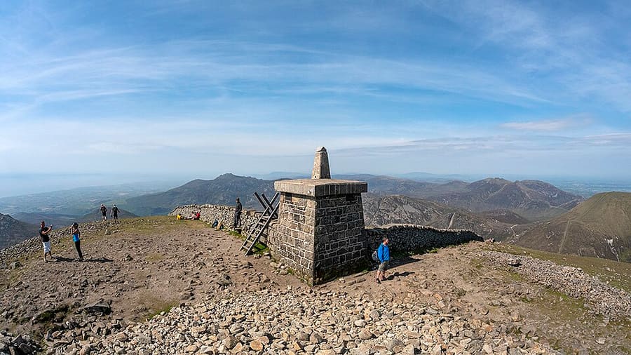
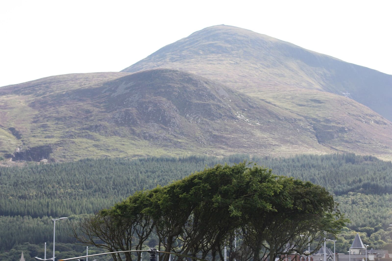
Slieve Donard
Highest mountain in Northern Ireland and Ulster at 2789 feet (850 meters), rising behind Newcastle.
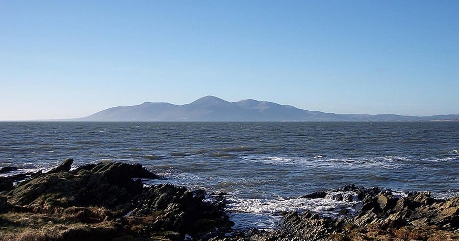
Mourne Mountains
Predominantly granite mountain range in County Down, including Slieve Donard, the highest peak in Ulster.
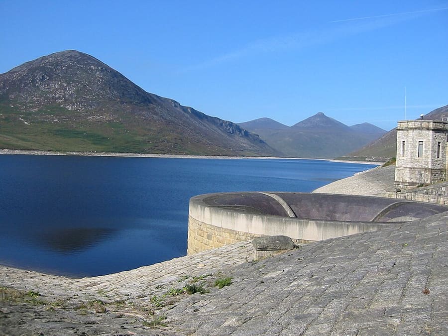
Silent Valley Mountain Park
Reservoir and mountain park in the Mournes that supplies water to County Down and most of Belfast.
Northern Ireland
More areas to explore
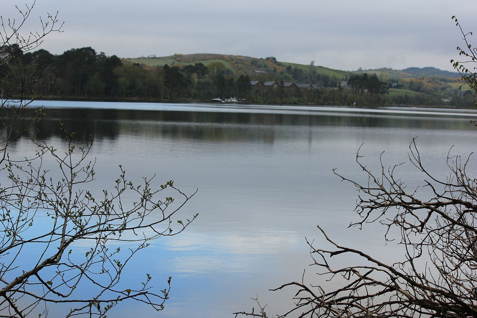
Fermanagh Lakelands
Lough Erne islands, National Trust houses and limestone caves around Enniskillen
Open the mini guide →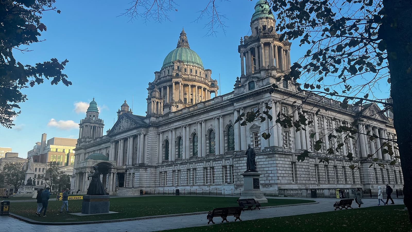
Belfast city centre & Cathedral Quarter
Civic landmarks, historic pubs and the alleys of the Cathedral Quarter
Open the mini guide →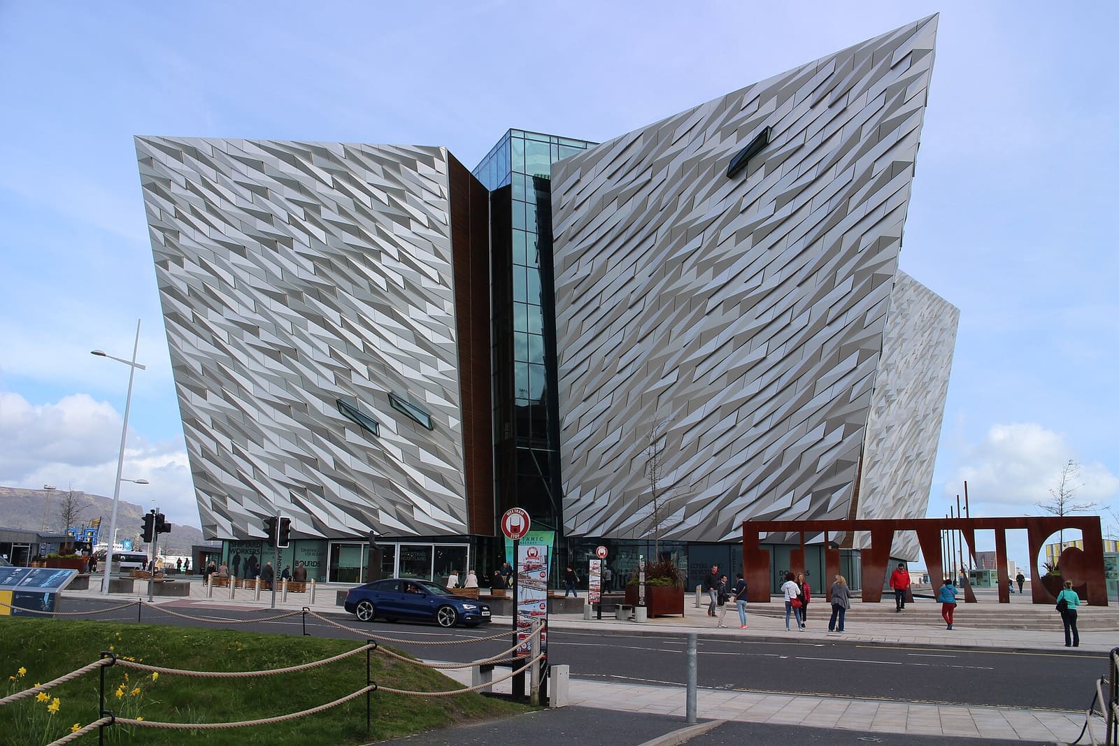
Titanic Quarter & East Belfast
Shipyard heritage on the Lagan, then C. S. Lewis, Stormont and east Belfast high streets
Open the mini guide →Photo credits
- Spelga Dam: Bananenfalter, CC0, source
- The Mournes & Newcastle (area photo): Ardfern, CC BY-SA 3.0, source
- Slieve Donard: Rossographer, CC BY-SA 2.0, source
- Mourne Mountains: Voyager (uploader), CC BY-SA 3.0, source
- Silent Valley Mountain Park: Peter Williamson (user Wpeterwilliamson), Public domain, source
- Fermanagh Lakelands: Joli, CC BY-SA 4.0, source
- Belfast city centre & Cathedral Quarter: Bryn Holmes, CC BY-SA 2.0, source
- Titanic Quarter & East Belfast: Suicasmo, CC BY-SA 4.0, source
- The Causeway Coast: Ajay Suresh from New York, NY, USA, CC BY 2.0, source
- Derry~Londonderry: Mario Falcetti, CC BY 4.0, source
Photos from Wikimedia Commons, used under the licences shown. All photo credits
Keep exploring Northern Ireland