 English (UK)
 English (US)
 Français
 Deutsch
 Español
 Italiano
 Nederlands
 简体中文
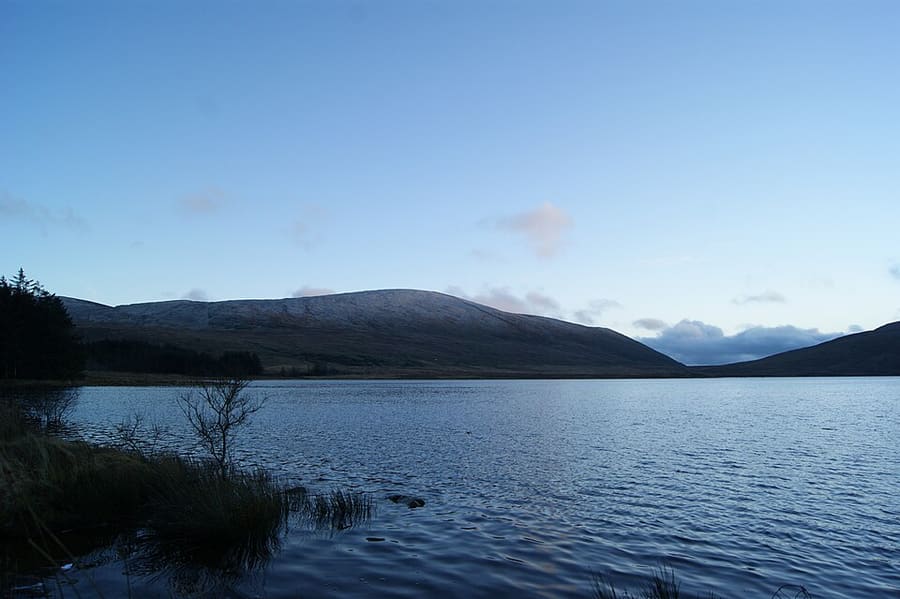
Una mini guida a
The Mournes & Newcastle: come arrivare
Fermate, stazioni e come raggiungere The Mournes & Newcastle
Fermate e stazioni
Come arrivare a The Mournes & Newcastle
Scegliere la fermata più vicina alla destinazione.
| Fermata o stazione | Servizi | Adatto a |
|---|---|---|
| Newcastle | Autobus | Consulti Translink per gli autobus per Newcastle da Belfast e da altre località |
| Silent Valley | Auto | Il Silent Valley Mountain Park è gestito da Northern Ireland Water; consultare la sua pagina per le modalità di accesso |
| Tollymore | In auto o a piedi | Il parco forestale si trova ai piedi dei Mournes vicino a Newcastle; per i dettagli consultare nidirect |
Within walking range
Stations near The Mournes & Newcastle
Stations and stops mapped in OpenStreetMap within 2.5 km of the centre of The Mournes & Newcastle, nearest first. Distances are straight lines; walking times assume 5 km/h and are a minimum.
| Station or stop | Tipo | Distanza | A piedi |
|---|---|---|---|
| Newcastle Bus Station | Bus or coach station (Translink) | 100 m | about 1 min |
Station data: © OpenStreetMap contributors (ODbL), read 1 November 2026. Check step-free access with the operator before you travel.
Walking from nearby areas
- Belfast city centre & Cathedral Quarter: 42.8 km from The Mournes & Newcastle, better by public transport
- Titanic Quarter & East Belfast: 43.5 km from The Mournes & Newcastle, better by public transport
- Fermanagh Lakelands: 114.6 km from The Mournes & Newcastle, better by public transport
- The Causeway Coast: 118.4 km from The Mournes & Newcastle, better by public transport
Come raggiungere l'Irlanda del Nord
Informazioni ufficiali sui trasporti
L'Irlanda del Nord ha due aeroporti per Belfast, un aeroporto regionale a Derry~Londonderry, porti per i traghetti a Belfast e Larne, e una rete ferroviaria e di autobus gestita da Translink. Verificare sempre con il gestore orari, tariffe e disservizi aggiornati.
- Discover Northern Ireland → — il sito ufficiale per i visitatori di Tourism Northern Ireland
- Visit Belfast → — il sito ufficiale per i visitatori della città
- Visit Derry → — il sito turistico ufficiale di Derry~Londonderry
- Causeway Coast and Glens → — la guida ufficiale della costa settentrionale
- Fermanagh Lakelands → — il sito turistico ufficiale del Fermanagh
- Visit Mourne Mountains → — official tourism site for the Mournes and Ring of Gullion
- Translink → — autobus e treni in tutta l'Irlanda del Nord
- Belfast International Airport → — voli e trasferimenti
- George Best Belfast City Airport → — voli e trasferimenti
- City of Derry Airport → — voli per il nord-ovest
- Stena Line → — traghetti per Belfast
- P&O Ferries → — traghetti per Larne
- GOV.UK: autorizzazione elettronica di viaggio → — chi ha bisogno di un'ETA per visitare il Regno Unito
Orari, tariffe e disservizi cambiano: per informazioni in tempo reale consultare le pagine dei gestori qui sopra.
Pianifichi qui il tragitto
Inserisca il punto di partenza e Google Maps mostrerà i percorsi per The Mournes & Newcastle. Il trasporto pubblico è preselezionato; si può cambiare sulla mappa. Per eventuali disagi in tempo reale, controllare i siti degli operatori.
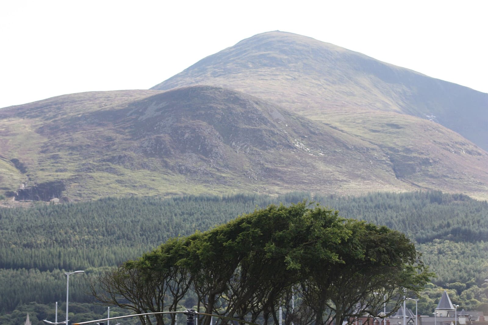
While you are here
Things to see in The Mournes & Newcastle
A few of the sights in the area. The Things to do page lists them all, with directions and official links.
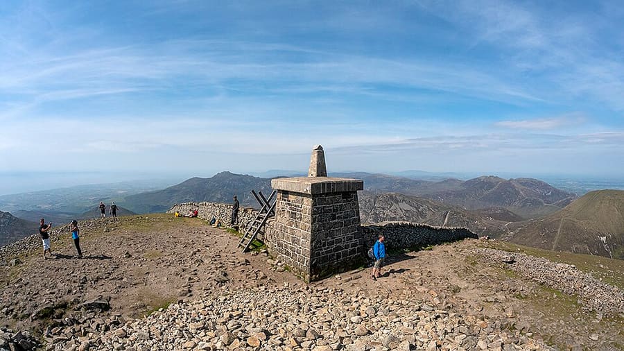
Slieve Donard
La montagna più alta dell'Irlanda del Nord e dell'Ulster, con 850 metri, che si erge dietro Newcastle.
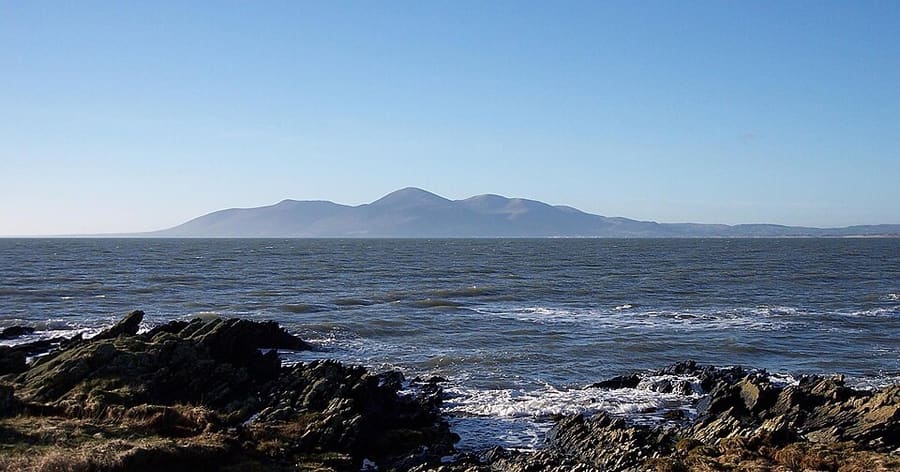
Mourne Mountains
Catena montuosa prevalentemente granitica nella contea di Down, che comprende lo Slieve Donard, la vetta più alta dell'Ulster.
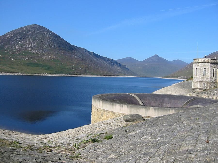
Silent Valley Mountain Park
Serbatoio e parco di montagna nelle Mournes che rifornisce d'acqua la contea di Down e gran parte di Belfast.
Irlanda del Nord
More areas to explore
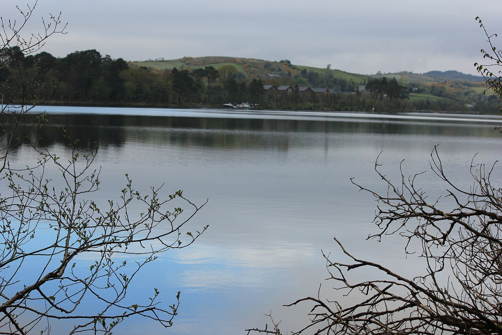
Fermanagh Lakelands
Isole del Lough Erne, residenze del National Trust e grotte calcaree intorno a Enniskillen
Apri la mini guida →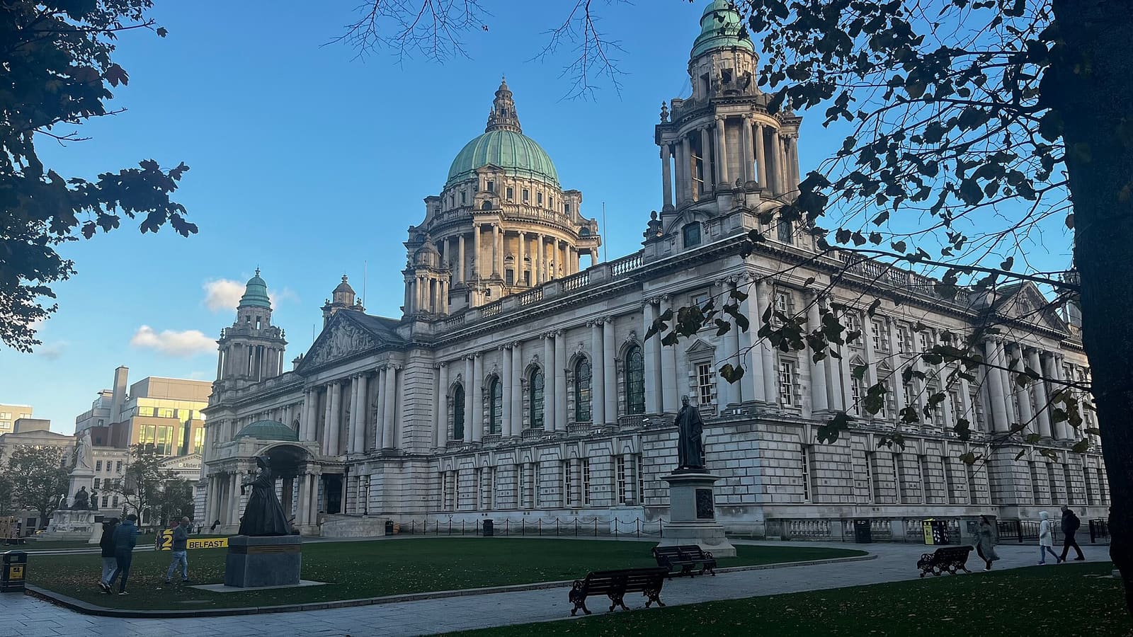
Belfast city centre & Cathedral Quarter
Edifici civici, pub storici e i vicoli del Cathedral Quarter
Apri la mini guida →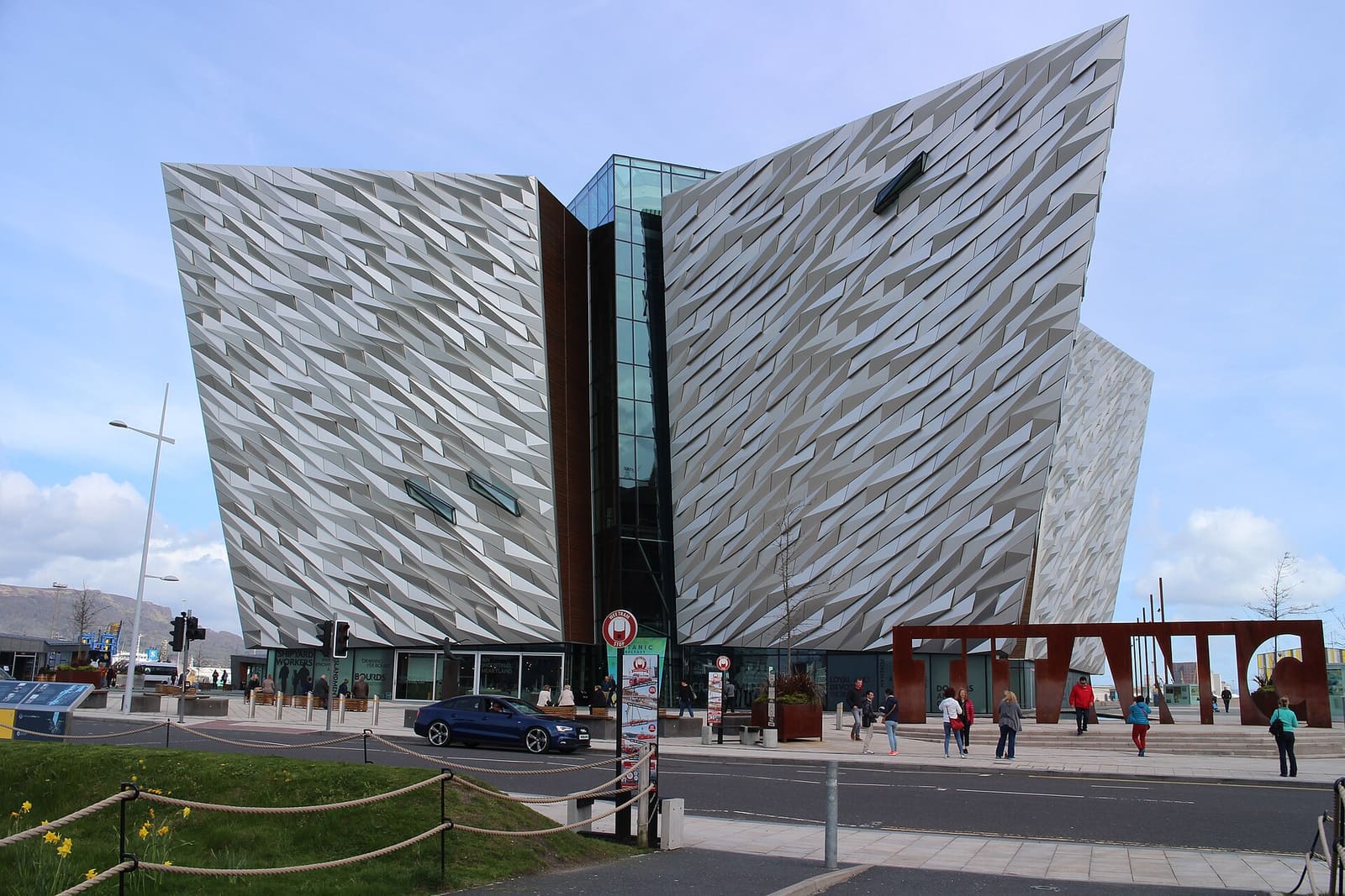
Titanic Quarter & East Belfast
Il patrimonio dei cantieri navali sul Lagan, poi C. S. Lewis, Stormont e le vie commerciali di Belfast est
Apri la mini guida →Crediti fotografici
- Spelga Dam: Bananenfalter, CC0, source
- The Mournes & Newcastle (area photo): Ardfern, CC BY-SA 3.0, source
- Slieve Donard: Rossographer, CC BY-SA 2.0, source
- Mourne Mountains: Voyager (uploader), CC BY-SA 3.0, source
- Silent Valley Mountain Park: Peter Williamson (user Wpeterwilliamson), Public domain, source
- Fermanagh Lakelands: Joli, CC BY-SA 4.0, source
- Belfast city centre & Cathedral Quarter: Bryn Holmes, CC BY-SA 2.0, source
- Titanic Quarter & East Belfast: Suicasmo, CC BY-SA 4.0, source
- The Causeway Coast: Ajay Suresh from New York, NY, USA, CC BY 2.0, source
- Derry~Londonderry: Mario Falcetti, CC BY 4.0, source
Photos from Wikimedia Commons, used under the licences shown. All photo credits
Continui a esplorare l'Irlanda del Nord