 English (UK)
 English (US)
 Français
 Deutsch
 Español
 Italiano
 Nederlands
 简体中文
Una mini guida a
Belfast city centre & Cathedral Quarter: come arrivare
Fermate, stazioni e come raggiungere Belfast city centre & Cathedral Quarter
Fermate e stazioni
Come arrivare a Belfast city centre & Cathedral Quarter
Scegliere la fermata più vicina alla destinazione.
| Fermata o stazione | Servizi | Adatto a |
|---|---|---|
| Belfast Grand Central | Treni e autobus | Stazione integrata di treni e autobus sul lato ovest del centro; ha sostituito la stazione di Great Victoria Street e l'Europa Buscentre |
| Belfast Lanyon Place | Treni | Stazione in East Bridge Street, vicino al Lagan, con servizi per Derry~Londonderry, Bangor e Larne |
| Glider | Autobus a transito rapido | Le linee Translink G1 (da ovest a est di Belfast) e G2 (dal centro al Titanic Quarter) attraversano il centro |
| Donegall Square | Autobus | Fermate degli autobus del centro intorno alla Belfast City Hall; consultare Translink per le linee |
Within walking range
Stations near Belfast city centre & Cathedral Quarter
Stations and stops mapped in OpenStreetMap within 2.5 km of the centre of Belfast city centre & Cathedral Quarter, nearest first. Distances are straight lines; walking times assume 5 km/h and are a minimum.
| Station or stop | Tipo | Distanza | A piedi |
|---|---|---|---|
| Ulsterbus Laganside | Bus or coach station (Translink Ulsterbus) | 300 m | about 4 min |
| Laganside Bus Centre | Bus or coach station (Translink Ulsterbus) | 300 m | about 4 min |
| York Street | Rail station (Translink NI Railways) | 1.2 km | about 15 min |
| Botanic | Rail station (Translink NI Railways) | 1.3 km | about 15 min |
Station data: © OpenStreetMap contributors (ODbL), read 1 November 2026. Check step-free access with the operator before you travel.
Walking from nearby areas
- Titanic Quarter & East Belfast: 1.9 km from Belfast city centre & Cathedral Quarter, about 23 min on foot
- The Mournes & Newcastle: 42.8 km from Belfast city centre & Cathedral Quarter, better by public transport
- The Causeway Coast: 78.1 km from Belfast city centre & Cathedral Quarter, better by public transport
- Derry~Londonderry: 98.9 km from Belfast city centre & Cathedral Quarter, better by public transport
Come raggiungere l'Irlanda del Nord
Informazioni ufficiali sui trasporti
L'Irlanda del Nord ha due aeroporti per Belfast, un aeroporto regionale a Derry~Londonderry, porti per i traghetti a Belfast e Larne, e una rete ferroviaria e di autobus gestita da Translink. Verificare sempre con il gestore orari, tariffe e disservizi aggiornati.
- Discover Northern Ireland → — il sito ufficiale per i visitatori di Tourism Northern Ireland
- Visit Belfast → — il sito ufficiale per i visitatori della città
- Visit Derry → — il sito turistico ufficiale di Derry~Londonderry
- Causeway Coast and Glens → — la guida ufficiale della costa settentrionale
- Fermanagh Lakelands → — il sito turistico ufficiale del Fermanagh
- Visit Mourne Mountains → — official tourism site for the Mournes and Ring of Gullion
- Translink → — autobus e treni in tutta l'Irlanda del Nord
- Belfast International Airport → — voli e trasferimenti
- George Best Belfast City Airport → — voli e trasferimenti
- City of Derry Airport → — voli per il nord-ovest
- Stena Line → — traghetti per Belfast
- P&O Ferries → — traghetti per Larne
- GOV.UK: autorizzazione elettronica di viaggio → — chi ha bisogno di un'ETA per visitare il Regno Unito
Orari, tariffe e disservizi cambiano: per informazioni in tempo reale consultare le pagine dei gestori qui sopra.
Pianifichi qui il tragitto
Inserisca il punto di partenza e Google Maps mostrerà i percorsi per Belfast city centre & Cathedral Quarter. Il trasporto pubblico è preselezionato; si può cambiare sulla mappa. Per eventuali disagi in tempo reale, controllare i siti degli operatori.
While you are here
Things to see in Belfast city centre & Cathedral Quarter
A few of the sights in the area. The Things to do page lists them all, with directions and official links.
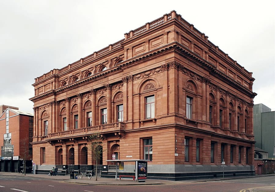
Belfast Central Library
Biblioteca pubblica su Royal Avenue, inaugurata nel 1888, uno dei primi grandi edifici di biblioteca pubblica in Irlanda.
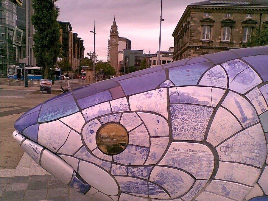
The Big Fish
Salmone in mosaico di ceramica lungo dieci metri, opera di John Kindness, installato a Donegall Quay nel 1999.
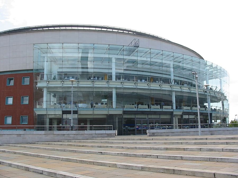
Waterfront Hall
Sede per conferenze e spettacoli a Lanyon Place, progettata da Robinson McIlwaine.
Irlanda del Nord
More areas to explore
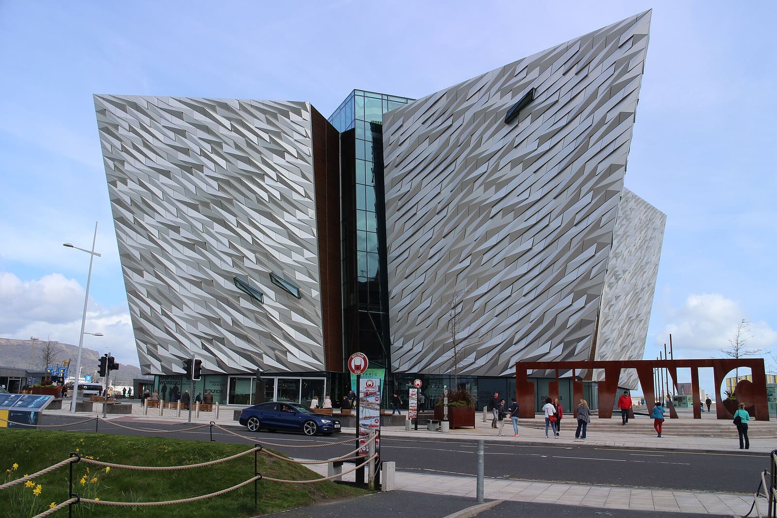
Titanic Quarter & East Belfast
Il patrimonio dei cantieri navali sul Lagan, poi C. S. Lewis, Stormont e le vie commerciali di Belfast est
Apri la mini guida →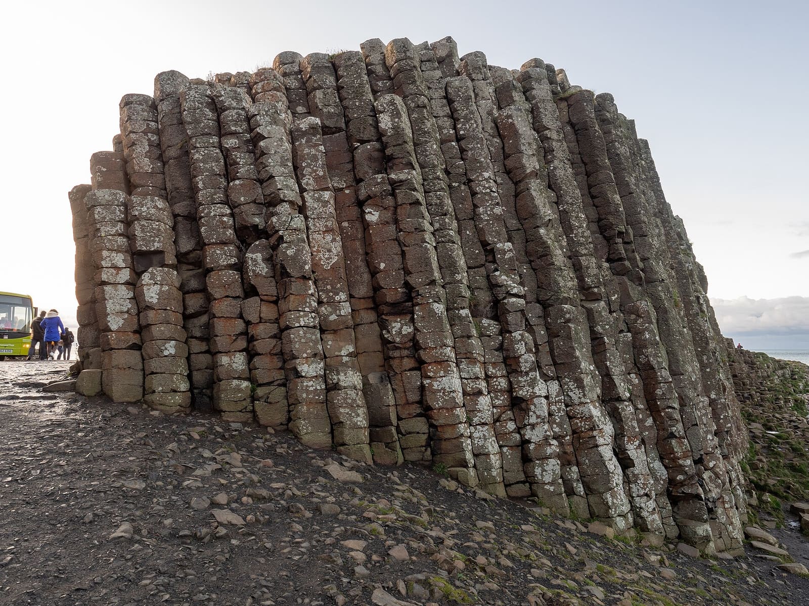
The Causeway Coast
Colonne di basalto, castelli in rovina e scogliere tra Portrush e Ballycastle
Apri la mini guida →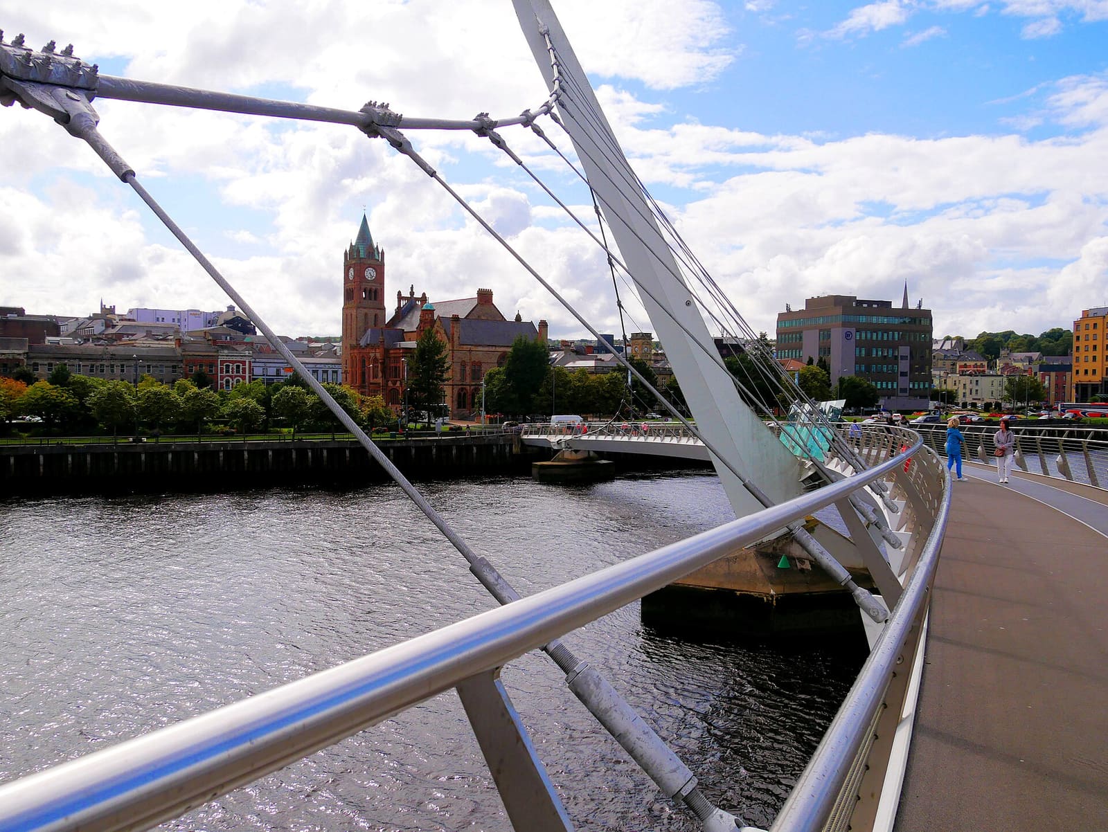
Derry~Londonderry
Una città murata sul fiume Foyle con musei, cattedrali e una passerella pedonale sull'acqua
Apri la mini guida →Crediti fotografici
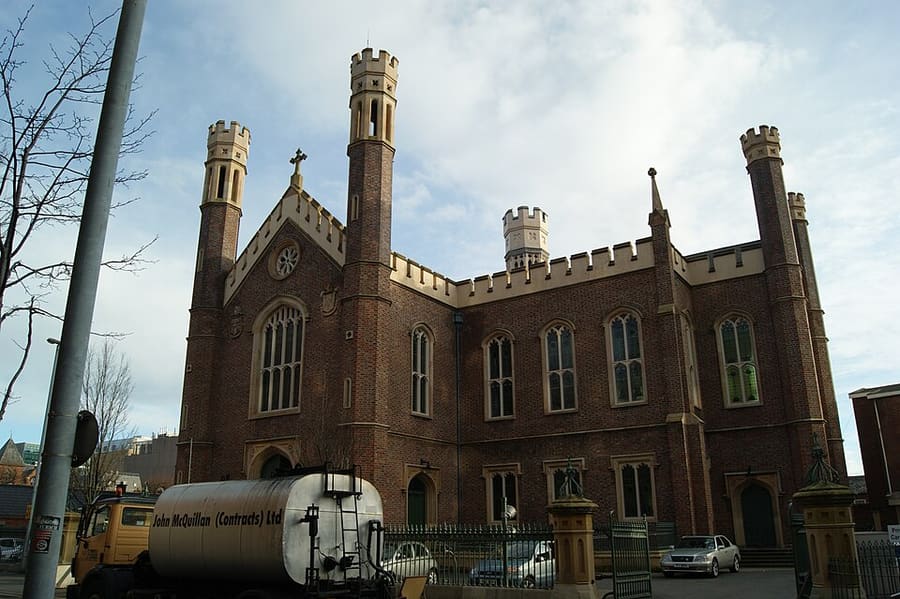
- St Malachy's Church: Dropinn5799, CC BY-SA 4.0, source
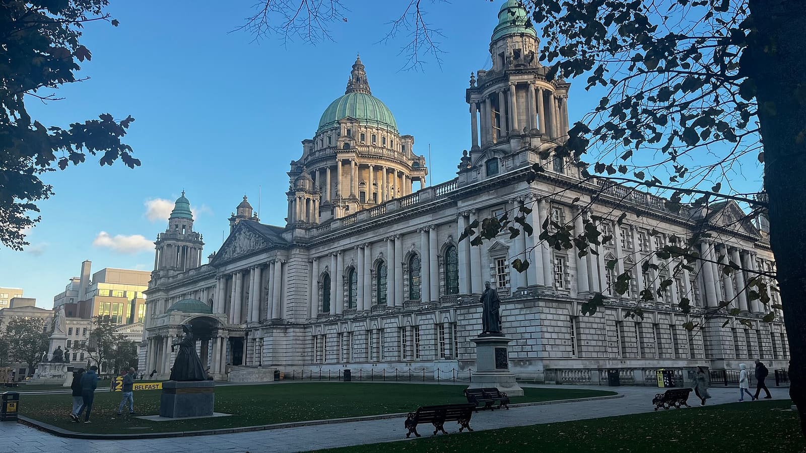
- Belfast city centre & Cathedral Quarter (area photo): Bryn Holmes, CC BY-SA 2.0, source
- Belfast Central Library: Erl Johnston, CC BY-SA 4.0, source
- The Big Fish: StasiÓ Stachów, CC BY 3.0, source
- Waterfront Hall: Man vyi, Public domain, source
- Titanic Quarter & East Belfast: Suicasmo, CC BY-SA 4.0, source
- The Causeway Coast: Ajay Suresh from New York, NY, USA, CC BY 2.0, source
- Derry~Londonderry: Mario Falcetti, CC BY 4.0, source
- The Mournes & Newcastle: Ardfern, CC BY-SA 3.0, source
- Fermanagh Lakelands: Joli, CC BY-SA 4.0, source
Photos from Wikimedia Commons, used under the licences shown. All photo credits
Continui a esplorare l'Irlanda del Nord