 English (UK)
 English (US)
 Français
 Deutsch
 Español
 Italiano
 Nederlands
 简体中文
A mini guide to
Belfast city centre & Cathedral Quarter: getting there
Stops, stations and how to reach Belfast city centre & Cathedral Quarter
Stops and stations
Getting to Belfast city centre & Cathedral Quarter
Choose the stop closest to where you are going.
| Stop or station | Services | Good for |
|---|---|---|
| Belfast Grand Central | Trains and buses | Integrated rail and bus station on the west side of the centre; it replaced Great Victoria Street station and the Europa Buscentre |
| Belfast Lanyon Place | Trains | Station on East Bridge Street near the Lagan, with services to Derry~Londonderry, Bangor and Larne |
| Glider | Bus rapid transit | Translink routes G1 (west to east Belfast) and G2 (city centre to the Titanic Quarter) run through the centre |
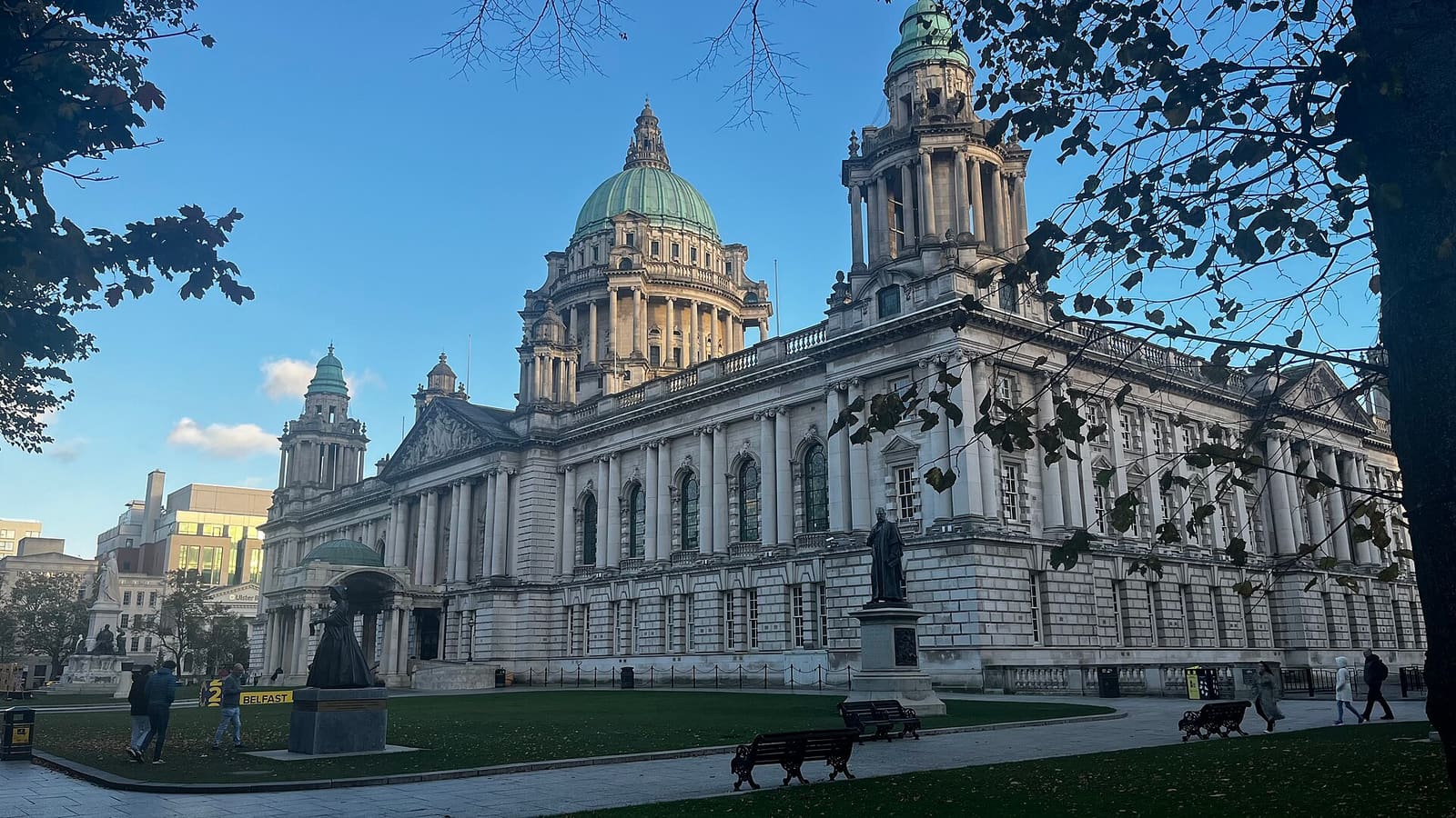
| Donegall Square | Buses | City centre bus stops around Belfast City Hall; check Translink for routes |
Within walking range
Stations near Belfast city centre & Cathedral Quarter
Stations and stops mapped in OpenStreetMap within 2.5 km of the centre of Belfast city centre & Cathedral Quarter, nearest first. Distances are straight lines; walking times assume 5 km/h and are a minimum.
| Station or stop | Type | Distance | On foot |
|---|---|---|---|
| Ulsterbus Laganside | Bus or coach station (Translink Ulsterbus) | 300 m | about 4 min |
| Laganside Bus Centre | Bus or coach station (Translink Ulsterbus) | 300 m | about 4 min |
| York Street | Rail station (Translink NI Railways) | 1.2 km | about 15 min |
| Botanic | Rail station (Translink NI Railways) | 1.3 km | about 15 min |
Station data: © OpenStreetMap contributors (ODbL), read 1 November 2026. Check step-free access with the operator before you travel.
Walking from nearby areas
- Titanic Quarter & East Belfast: 1.9 km from Belfast city centre & Cathedral Quarter, about 23 min on foot
- The Mournes & Newcastle: 42.8 km from Belfast city centre & Cathedral Quarter, better by public transport
- The Causeway Coast: 78.1 km from Belfast city centre & Cathedral Quarter, better by public transport
- Derry~Londonderry: 98.9 km from Belfast city centre & Cathedral Quarter, better by public transport
Reaching Northern Ireland
Official travel information
Northern Ireland has two airports for Belfast, a regional airport at Derry~Londonderry, ferry ports at Belfast and Larne, and a rail and bus network run by Translink. Always check the operator for current times, fares and disruption.
- Discover Northern Ireland → — Tourism Northern Ireland's official visitor site
- Visit Belfast → — the city's official visitor site
- Visit Derry → — official tourism site for Derry~Londonderry
- Causeway Coast and Glens → — the official guide to the north coast
- Fermanagh Lakelands → — official tourism site for Fermanagh
- Visit Mourne Mountains → — official tourism site for the Mournes and Ring of Gullion
- Translink → — buses and trains across Northern Ireland
- Belfast International Airport → — flights and transfers
- George Best Belfast City Airport → — flights and transfers
- City of Derry Airport → — flights for the north-west
- Stena Line → — ferries to Belfast
- P&O Ferries → — ferries to Larne
- GOV.UK: electronic travel authorisation → — who needs an ETA to visit the UK
Times, fares and disruption change: use the operator pages above for live information.
Plan your journey here
Enter your starting point and Google Maps will show routes to Belfast city centre & Cathedral Quarter. Public transport is selected; change it on the map. Check operator sites for live disruption.
While you are here
Things to see in Belfast city centre & Cathedral Quarter
A few of the sights in the area. The Things to do page lists them all, with directions and official links.
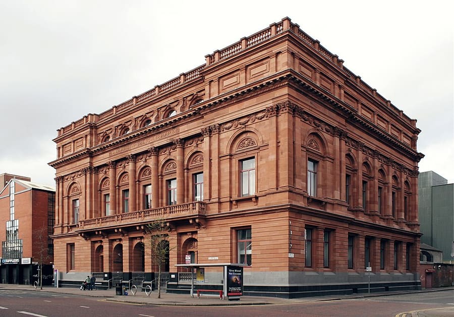
Belfast Central Library
Public library on Royal Avenue that opened in 1888, one of the first major public library buildings in Ireland.
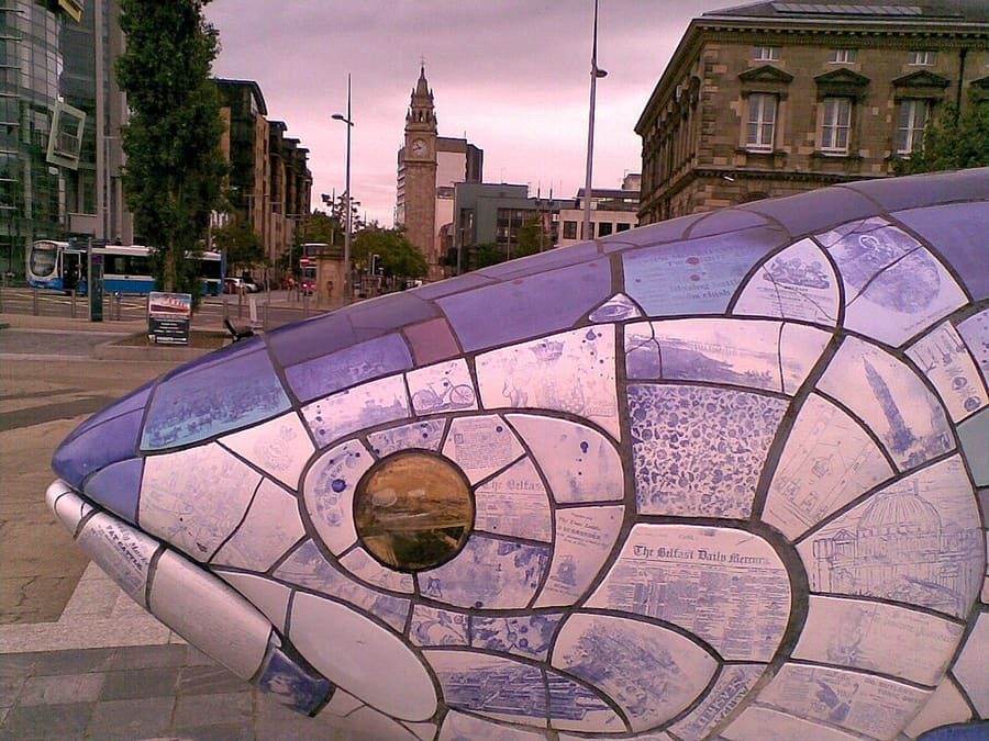
The Big Fish
Ten-metre ceramic mosaic salmon by John Kindness, installed on Donegall Quay in 1999.
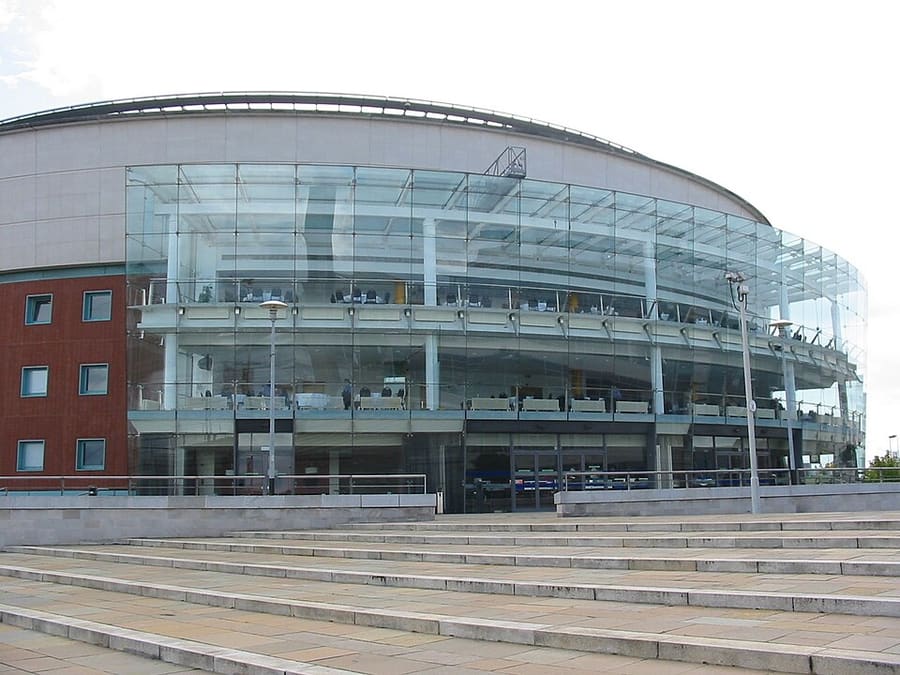
Waterfront Hall
Conference and entertainment venue in Lanyon Place, designed by Robinson McIlwaine.
Northern Ireland
More areas to explore
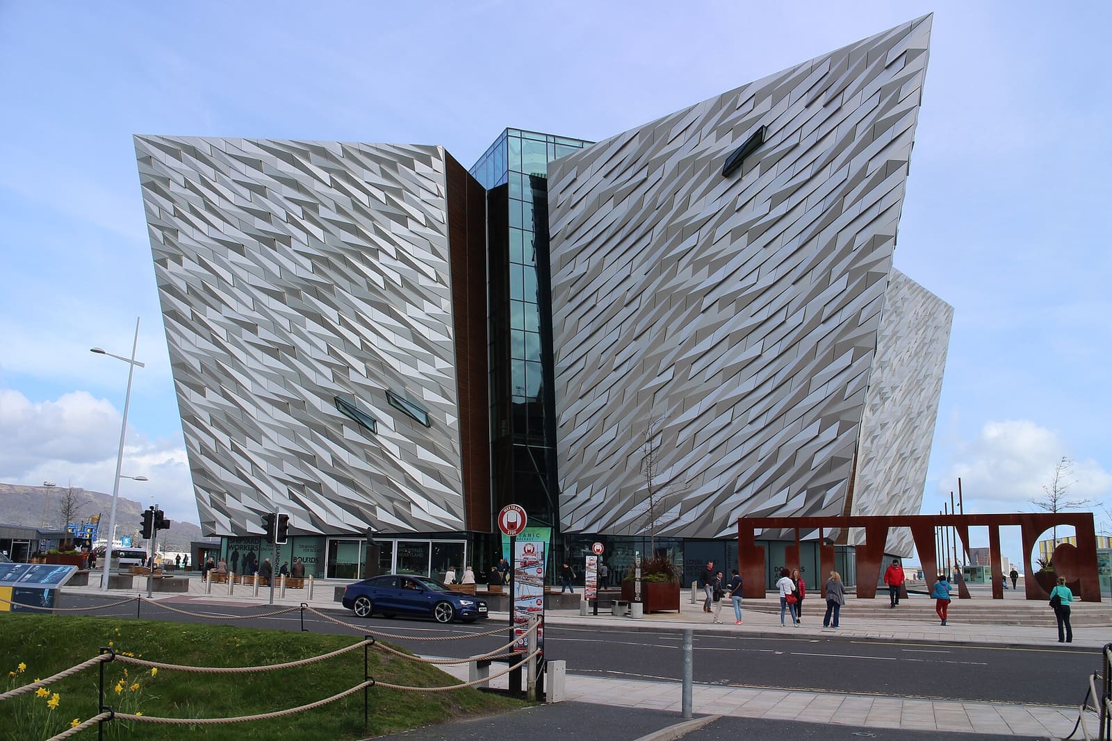
Titanic Quarter & East Belfast
Shipyard heritage on the Lagan, then C. S. Lewis, Stormont and east Belfast high streets
Open the mini guide →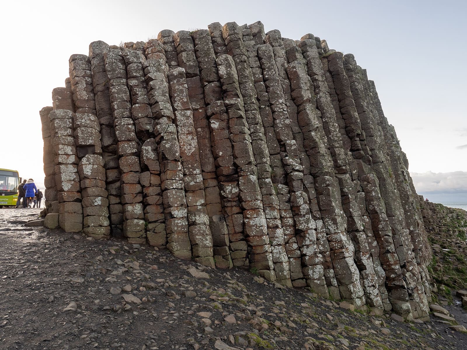
The Causeway Coast
Basalt columns, ruined castles and sea cliffs between Portrush and Ballycastle
Open the mini guide →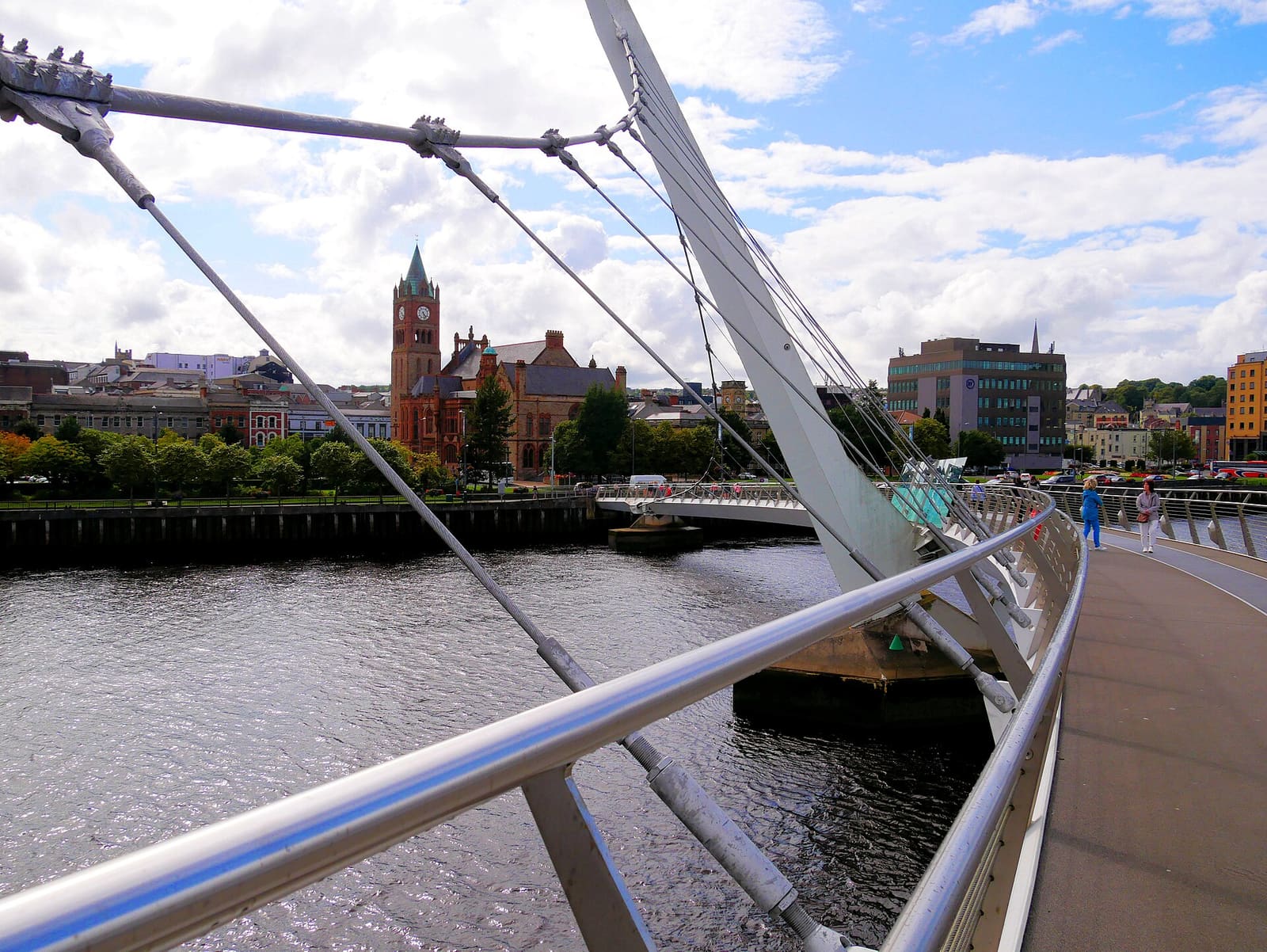
Derry~Londonderry
A walled city on the River Foyle with museums, cathedrals and a footbridge across the water
Open the mini guide →Photo credits
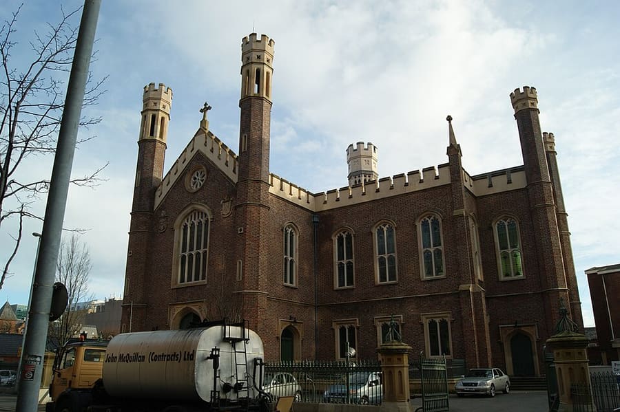
- St Malachy's Church: Dropinn5799, CC BY-SA 4.0, source
- Belfast city centre & Cathedral Quarter (area photo): Bryn Holmes, CC BY-SA 2.0, source
- Belfast Central Library: Erl Johnston, CC BY-SA 4.0, source
- The Big Fish: StasiÓ Stachów, CC BY 3.0, source
- Waterfront Hall: Man vyi, Public domain, source
- Titanic Quarter & East Belfast: Suicasmo, CC BY-SA 4.0, source
- The Causeway Coast: Ajay Suresh from New York, NY, USA, CC BY 2.0, source
- Derry~Londonderry: Mario Falcetti, CC BY 4.0, source
- The Mournes & Newcastle: Ardfern, CC BY-SA 3.0, source
- Fermanagh Lakelands: Joli, CC BY-SA 4.0, source
Photos from Wikimedia Commons, used under the licences shown. All photo credits
Keep exploring Northern Ireland